Comparativas Internacionales en el Uso de Nubes de Puntos en Construcción: Un Análisis Global
En la era de la digitalización de la construcción, el uso de nubes de puntos se ha convertido en una herramienta revolucionaria a nivel mundial.


En la era de la digitalización de la construcción, el uso de nubes de puntos se ha convertido en una herramienta revolucionaria a nivel mundial.
En el mundo de la construcción de infraestructuras críticas, donde cada detalle cuenta y los márgenes de error son mínimos, la precisión y la seguridad
La construcción, una industria tradicionalmente percibida como conservadora en la adopción de nuevas tecnologías, está siendo transformada radicalmente por los avances en levantamientos con nubes
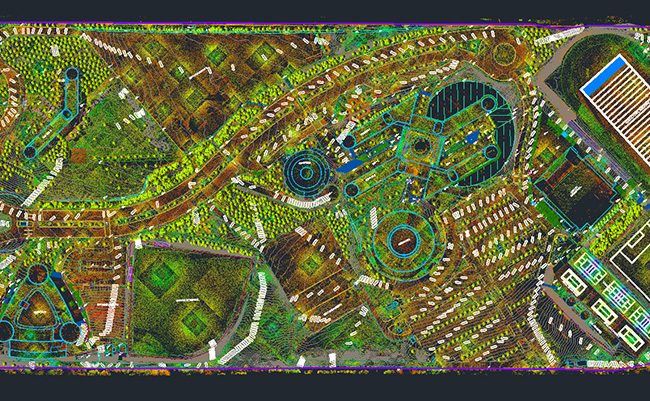
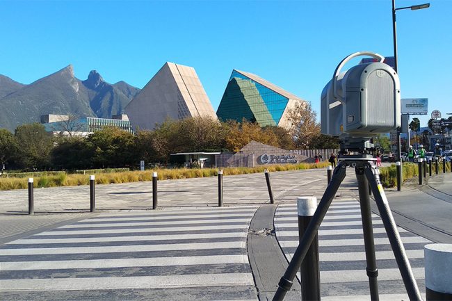
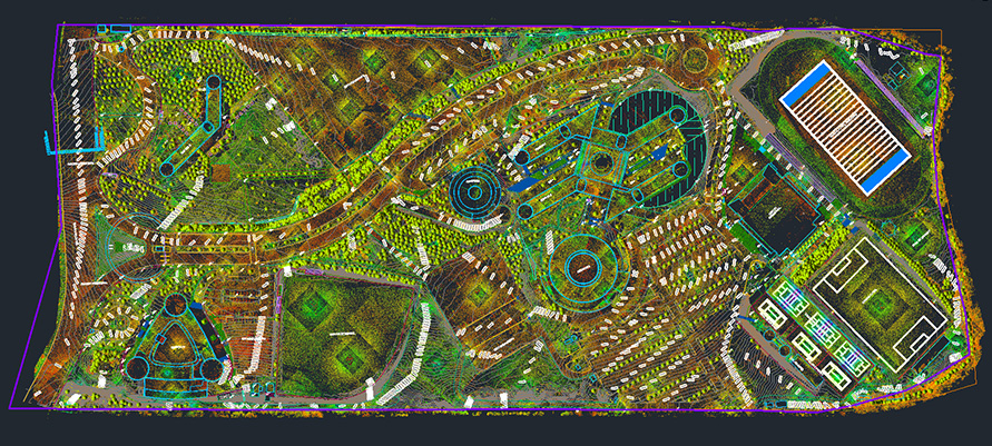
Levantamiento topográfico Tec de Monterrey / AEC Technology La construcción es una industria que siempre ha estado en constante evolución, desde la antigüedad hasta nuestros
