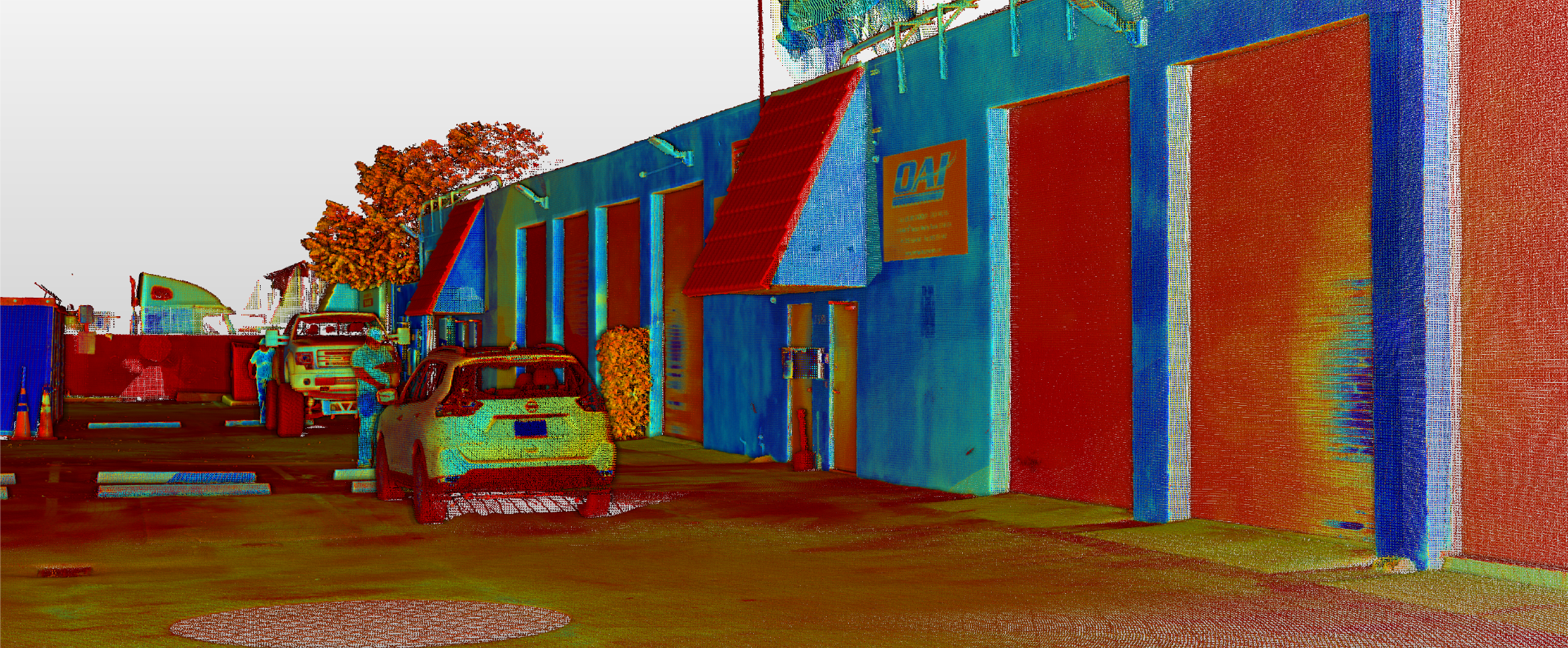
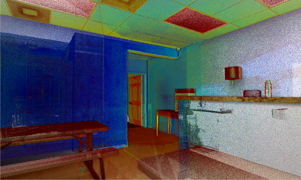
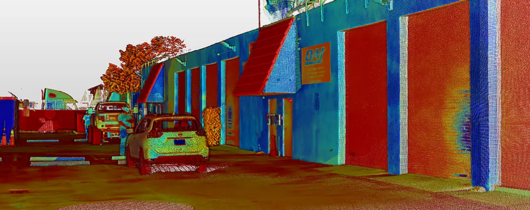
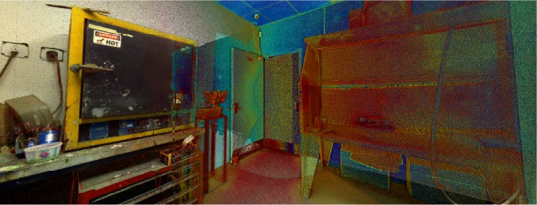
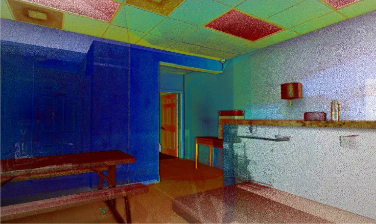
In the Overhaul Accessory INC. warehouse project, Reality Capture was conducted using laser scanning to generate point cloud models. This process meticulously and accurately documented the warehouse’s infrastructure and current conditions, providing a comprehensive digital representation used to assess the state of the facilities, plan future modifications, and optimise operational processes.
Client:
Overhaul
Accesory Inc.
Location:
Medley,
Estados Unidos
Year:
2019
REALITY CAPTURE
Terrestrial laser scanning
Terrestrial laser scanning captured precise three-dimensional data of the warehouse infrastructure, including the dimensions and locations of structures and equipment. The point cloud enabled design and maintenance teams to plan and execute interventions with reliable information.
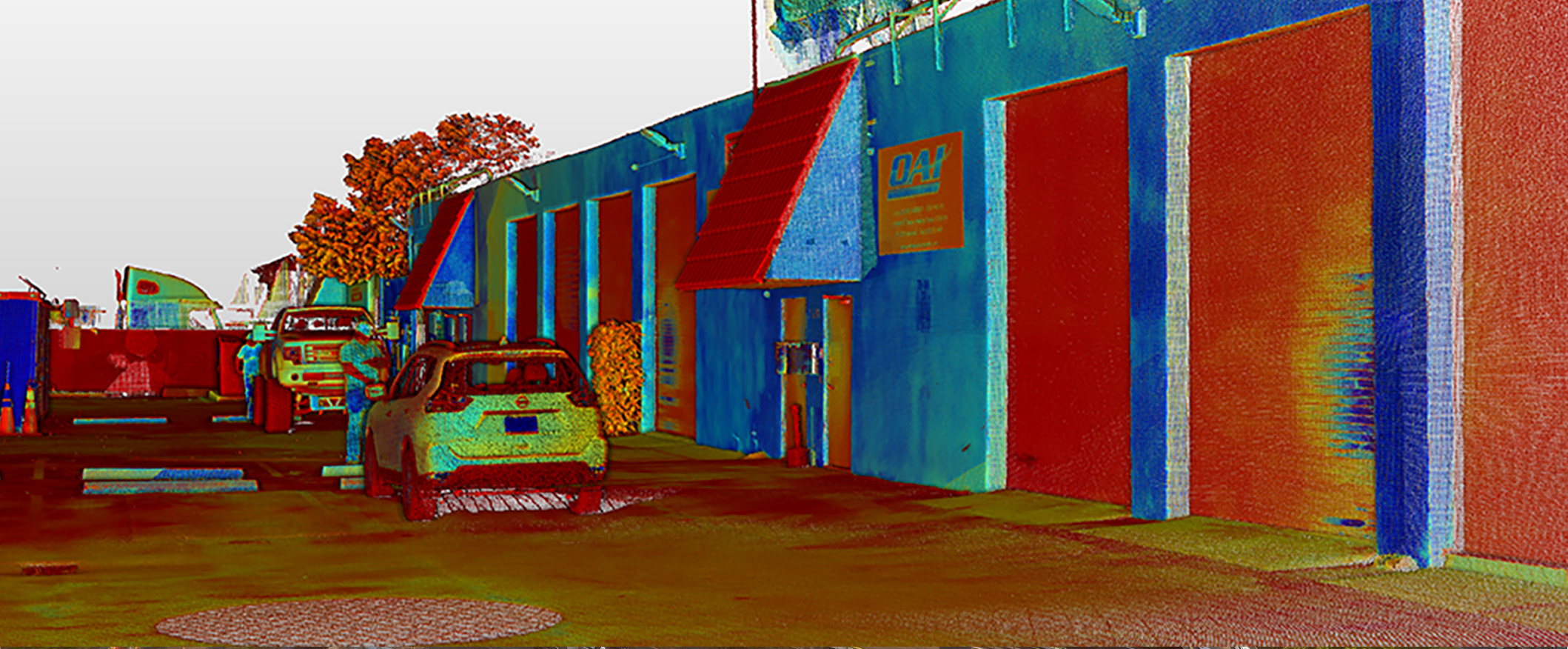
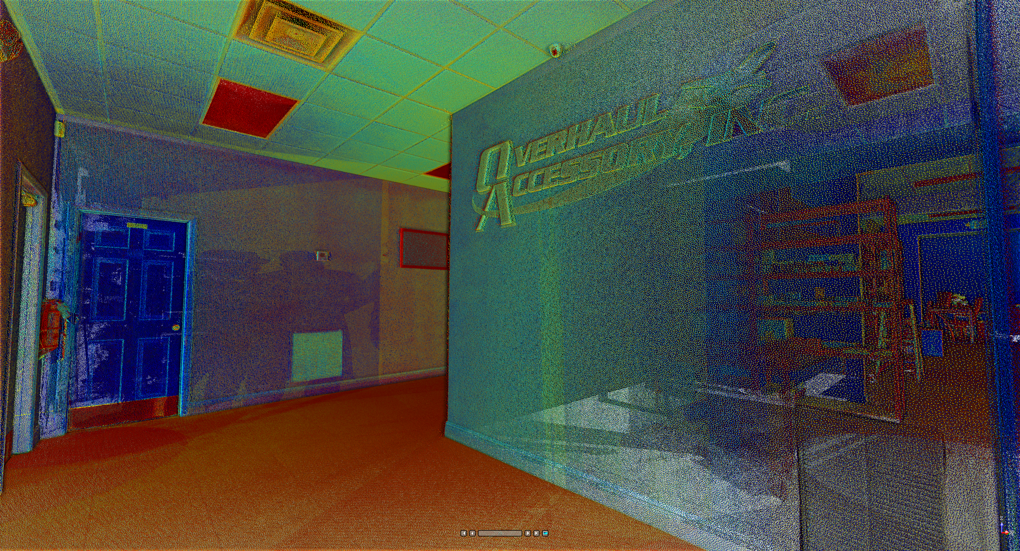
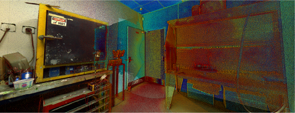
In the Overhaul Accessory INC. warehouse project, Reality Capture was conducted using laser scanning to generate point cloud models. This process meticulously and accurately documented the warehouse’s infrastructure and current conditions, providing a comprehensive digital representation used to assess the state of the facilities, plan future modifications, and optimise operational processes.
REALITY CAPTURE
Terrestrial Laser Scanning
Terrestrial laser scanning captured precise three-dimensional data of the warehouse infrastructure, including the dimensions and locations of structures and equipment. The point cloud enabled design and maintenance teams to plan and execute interventions with reliable information.