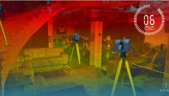
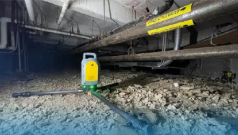
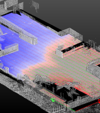
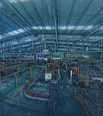
Laser Scanning is a process of capturing precise and three-dimensional information of an object or physical space to create a digital representation of it. It is based on LiDAR (Light Detection and Ranging) technology, a laser system that allows measuring the distance between the laser emission point and an object or surface. LiDAR sensors measure the distance to objects by sending out laser pulses and measuring the time it takes for them to return. This information is used to create a detailed 3D map of the environment, which can be used to understand the terrain and its features.
Detection of opportunities and conflicts in early stages of the project
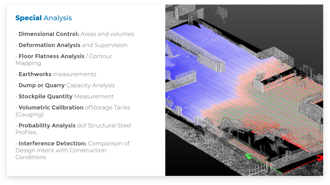
DETECTION OF CONFLICTS
Detection of opportunities and conflicts in early stages of the project
INCREASED SAFETY
Increased safety for work equipment in access areas
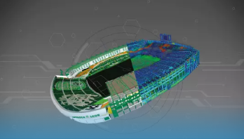
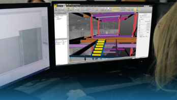
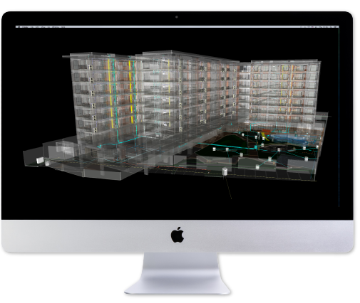
SCAN TO BIM
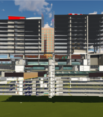
Creation of digital twins for BIM processes (SCAN TO BIM)
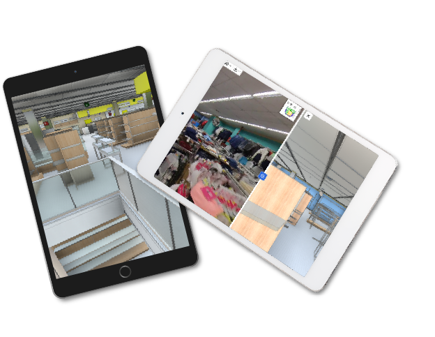
COLLABORATIVE WORK
Collaborative work in common data environments
DOCUMENTATION
Documentation of projects at all stages
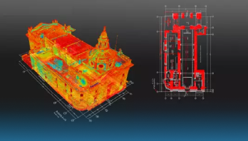
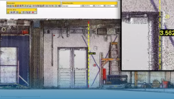
AS-BUILT DRAWINGS
AS-Built drwaings of exact conditions
PRESERVATION OF SPACES
Preservation of spaces when performing scans
AUTOMATION
Automation of data processing
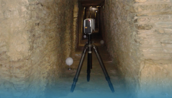
ACCURACY
Millimeter accuracy
Anterior
Siguiente
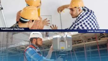
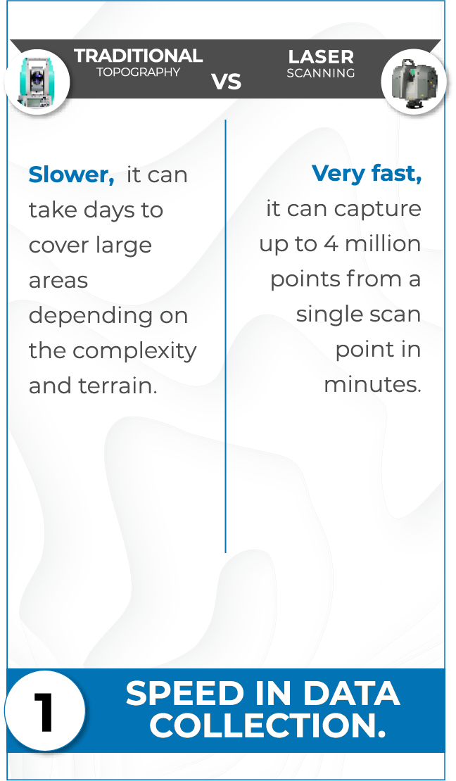
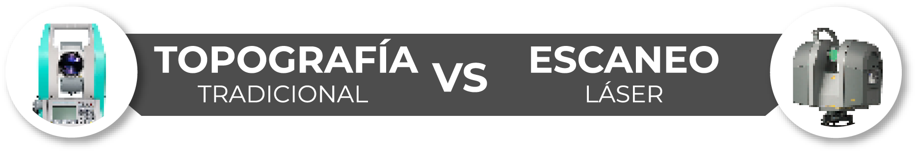
Evaluation of Methods:
Comparison between
Conventional Topography and 3D Laser Scanning
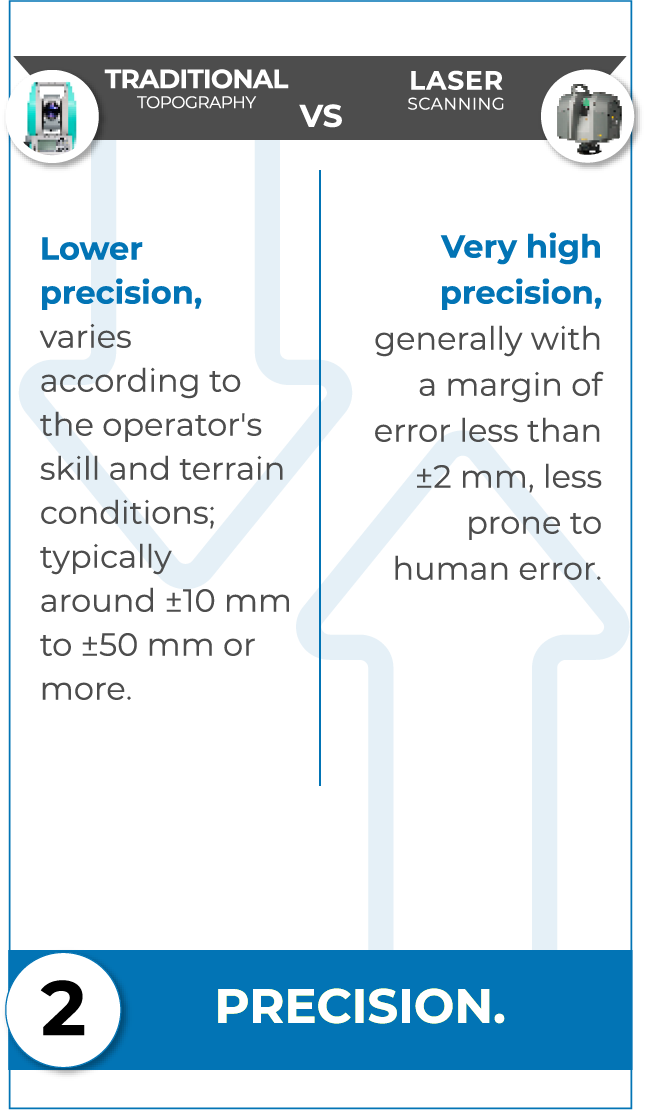
Evaluation of Methods:
Comparison between
Conventional Topography and 3D Laser Scanning
Slower,it can take days to cover large areas depending on the complexity and terrain.
Very fast, it can capture up to 4 million points from a single scan point in minutes.
Lower precision, varies according to the operator's skill and terrain conditions; typically around ±10 mm to ±50 mm or more.
Very high precisiongenerally with a margin of error less than ±2 mm, less prone to human error.
Haz clic aquí
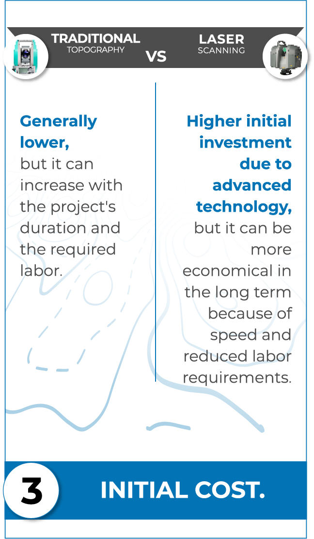
Generally lower, but it can increase with the project's duration and the required labor.
Higher initial investment due to advanced technology, but it can be more economical in the long term because of speed and reduced labor requirements.
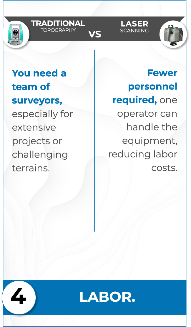
ou need a team of surveyors, especially for extensive projects or challenging terrains.
Fewer personnel required, one operator can handle the equipment, reducing labor costs.
Haz clic aquí
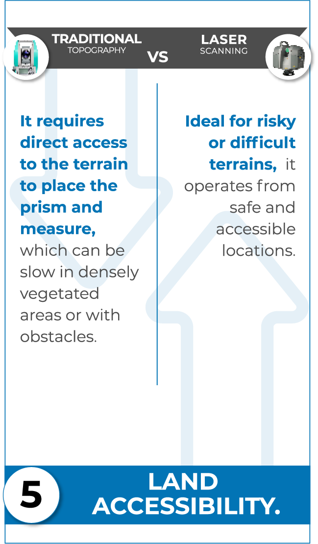
It requires direct access to the terrain to place the prism and measure, which can be slow in densely vegetated areas or with obstacles.
Ideal for risky or difficult terrains, it operates from safe and accessible locations.
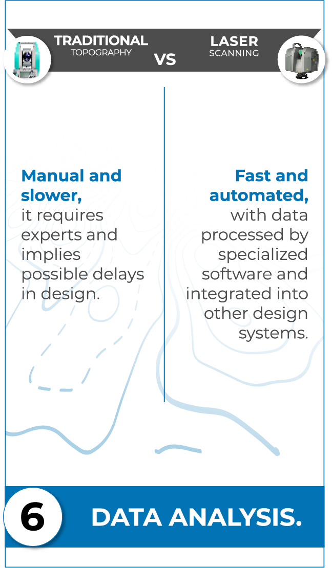
Manual and slower, it requires experts and implies possible delays in design.
Fast and automated, with data processed by specialized software and integrated into other design systems.
Haz clic aquí
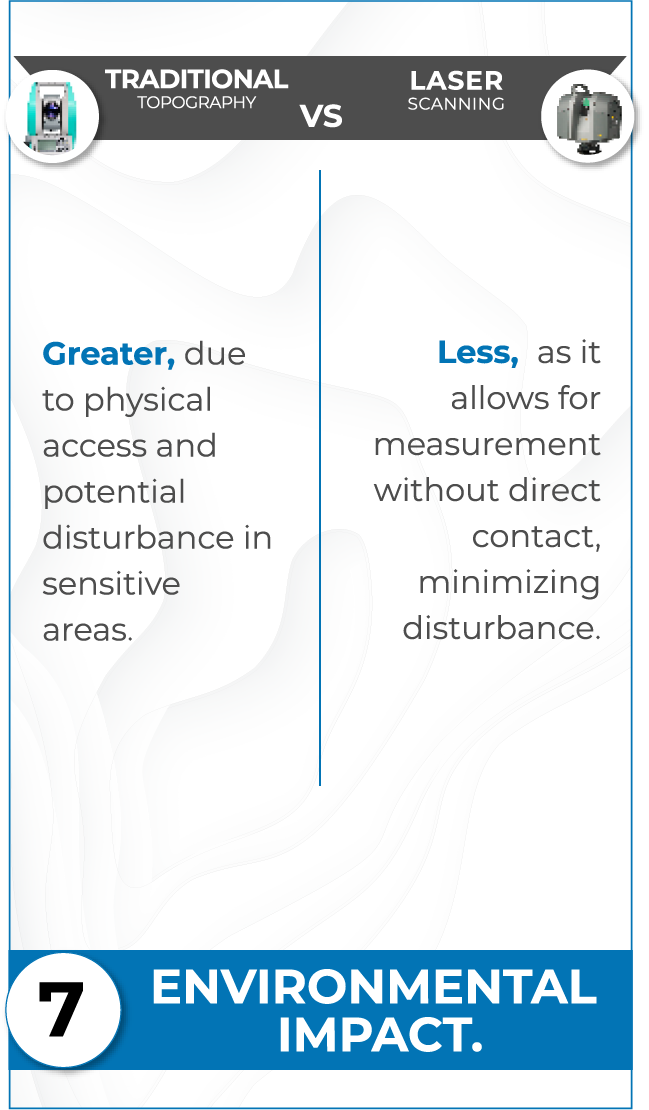
Greater, due to physical access and potential disturbance in sensitive areas.
Less, as it allows for measurement without direct contact, minimizing disturbance.
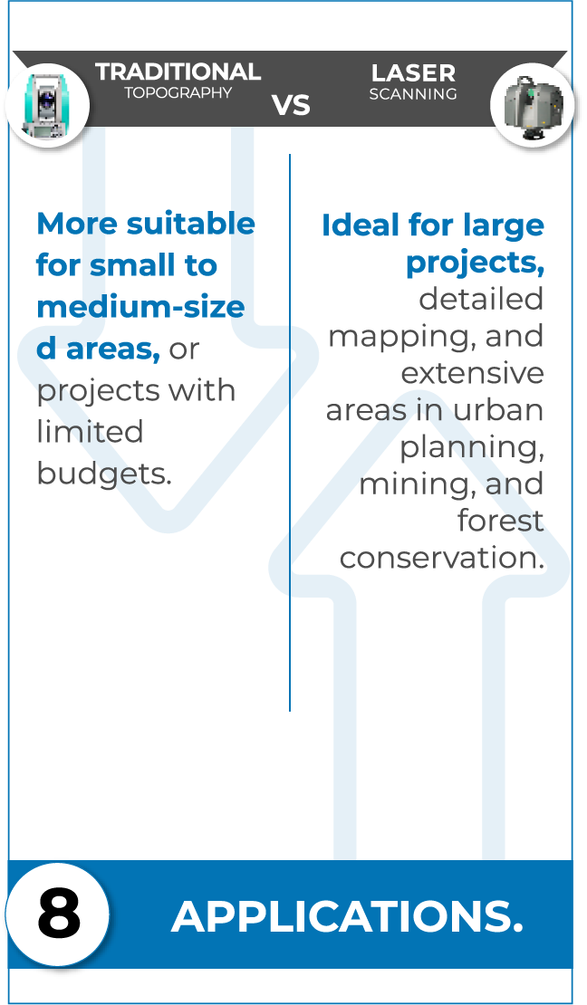
More suitable for small to medium-sized areas, or projects with limited budgets.
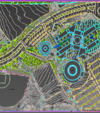
Ideal for large projects, detailed mapping, and extensive areas in urban planning, mining, and forest conservation.
Haz clic aquí
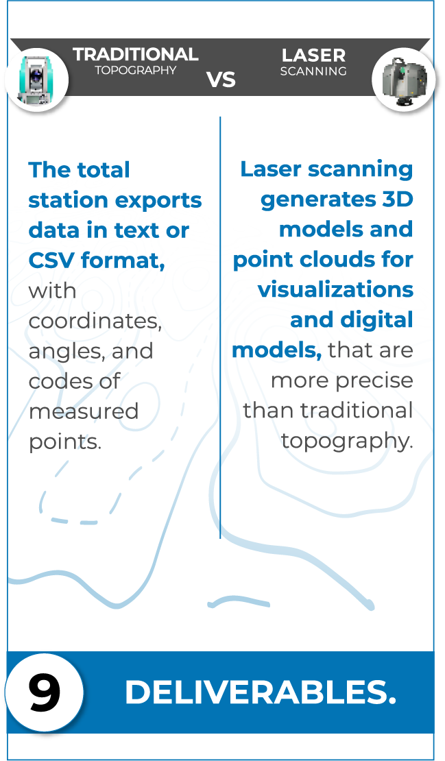
The total station exports data in text or CSV format, with coordinates, angles, and codes of measured points.
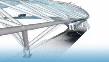
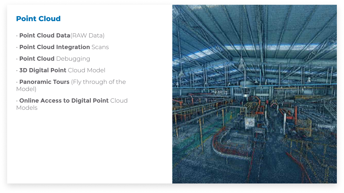
Laser scanning generates 3D models and point clouds for visualizations and digital models, that are more precise than traditional topography.
Más adecuado para áreas pequeñas a medianas,o proyectos con presupuesto limitado.
Ideal para grandes proyectos, mapeo detallado y áreas extensas en planificación urbana, minería y conservación forestal.
Haz clic aquí
Diapositiva anterior
Diapositiva siguiente
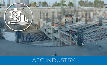
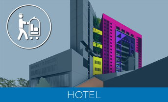
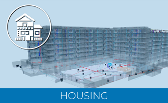
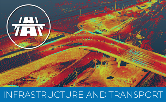
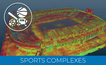
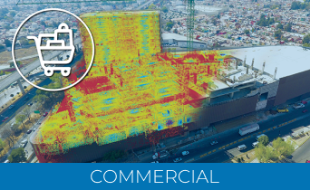
OUR TARGET CUSTUMERS
INDUSTRIES AND SECTORWE SERVE
INDUSTRIES AND SECTORWE SERVE
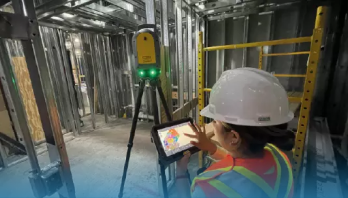
LASER SCANNER
LASER SCANNER APPLICATIONS
DESIGN
• Urban Planning and Design
• Building Design
• Restoration Design
• Industrial, Manufacturing, and Assembly Plant Design
• Chemical and Petrochemical Plant Design
• Electric Network Stations and Systems Design
• Oil Platform Design
• Risk Planning Development
• Reverse Engineering Processes
• Infrastructure and Civil Works Design
• 3D Gaming and Software Development
• Water and Wastewater Treatment Plant Design
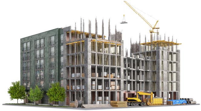
CONSTRUCTION
• Building Construction and Adaptation
• Infrastructure and Civil Works Construction and Adaptation
• Industrial, Manufacturing, and Assembly Plant Construction and Adaptation
• Electric Network Stations and Systems Construction and Adaptation
• Preservation and Reconstruction of Cultural Heritage
• Chemical and Petrochemical Plant Construction and Adaptation
• Oil Platform Construction and Adaptation
• Water and Wastewater Treatment Plant Construction and Adaptation
OPERATION AND MAINTENANCE
• Operation and Maintenance of Buildings
• Operation and Maintenance of Infrastructure and Civil Works
• Operation of Industrial, Manufacturing, and Assembly Plants