Point Cloud Surveying Using Laser Scanners and Development of BIM Models for Existing Buildings and Infrastructure....
Tecnológico de Monterrey – Querétaro
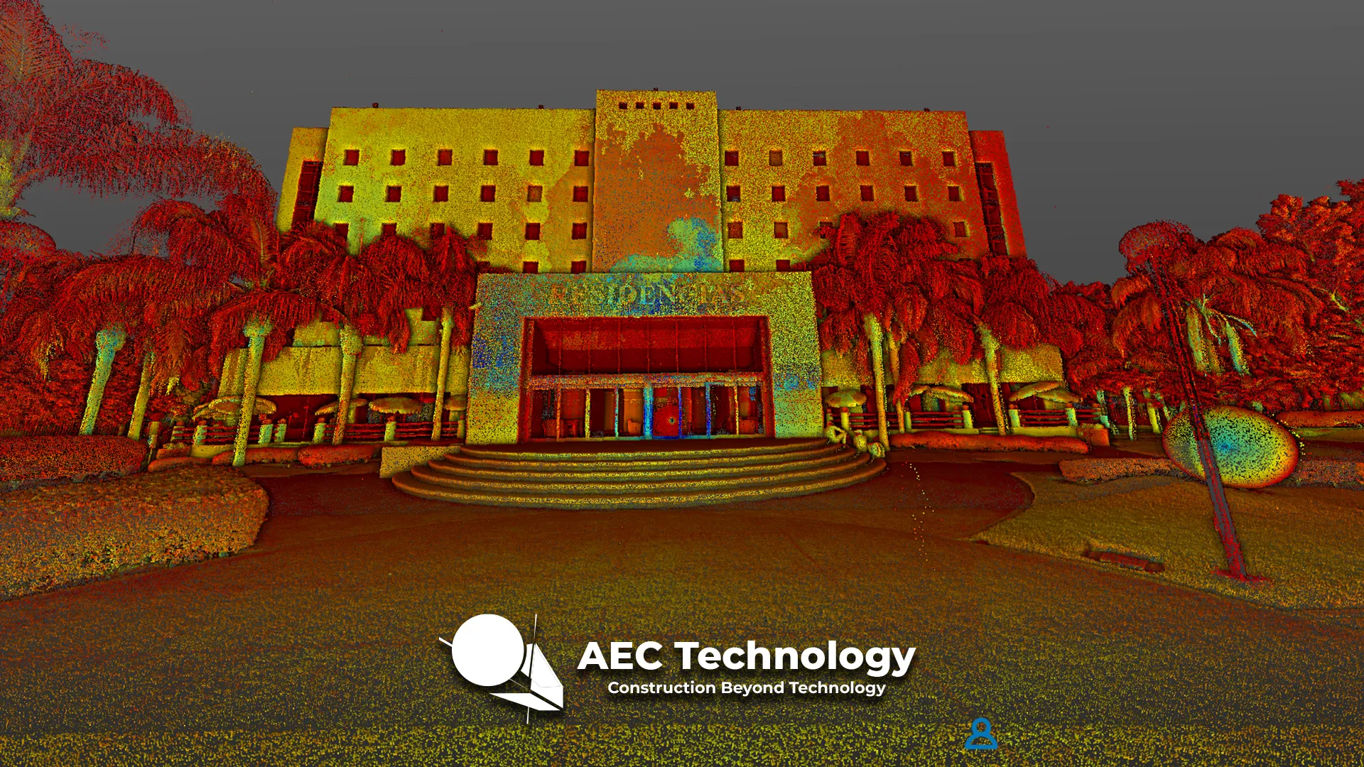
Point Cloud Surveying using Laser Scanners and Development of BIM Models for Existing Buildings and Infrastructure....
Tecnológico de Monterrey – Puebla
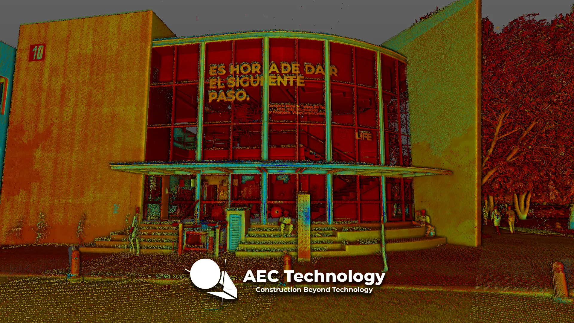
Point Cloud Surveying using Laser Scanners, development of BIM Models for Existing Buildings and Infrastructure, and generation of orthophotos for accurate and detailed documentation....
Tecnológico de Monterrey – Pachuca
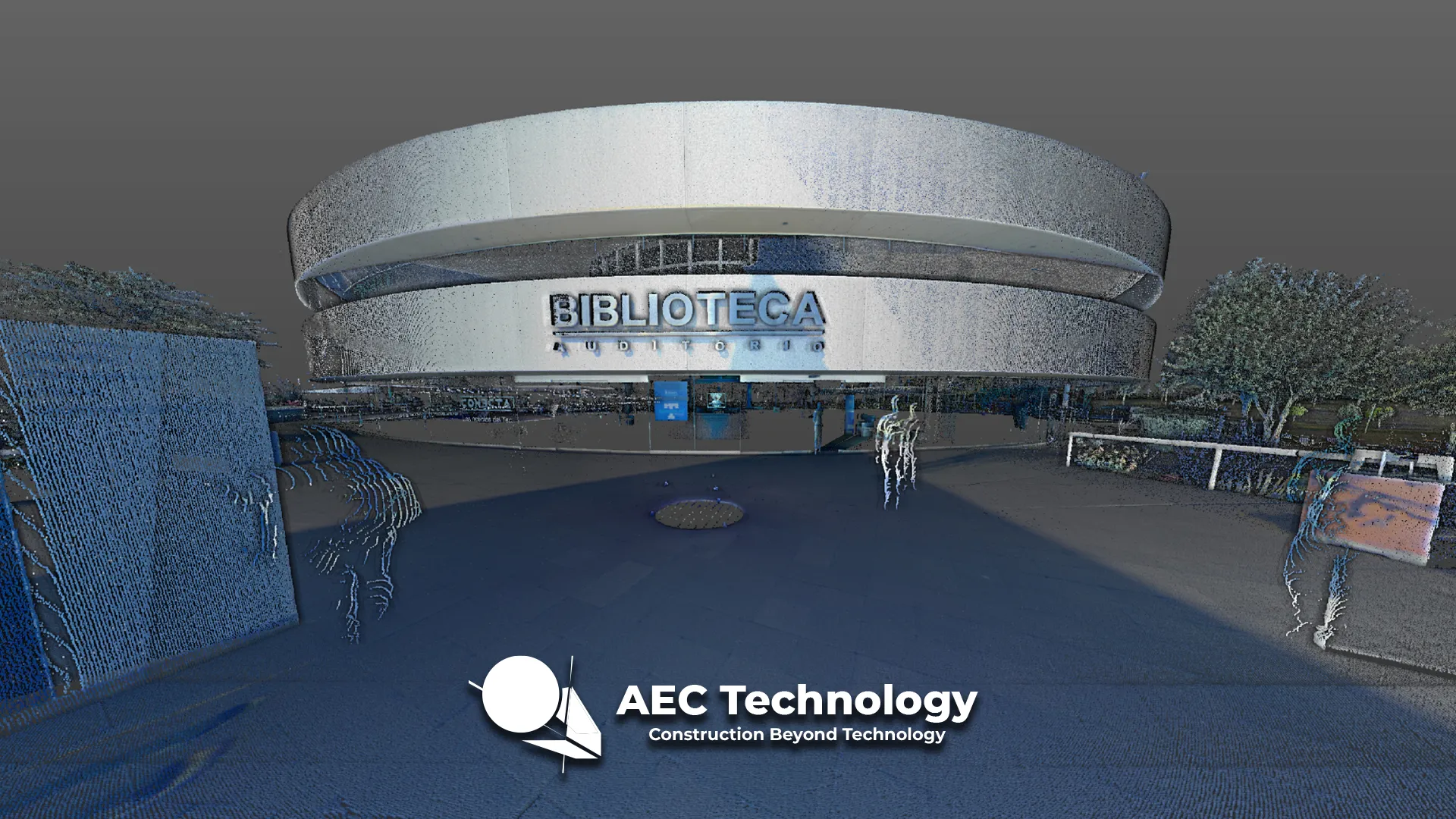
For the Tec de Monterrey campus in Pachuca, Reality Capture was carried out using laser scanning to accurately document the buildings and infrastructure. This process...
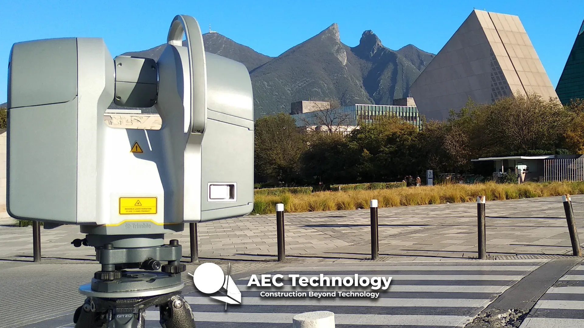
Tecnológico de Monterrey – Monterrey
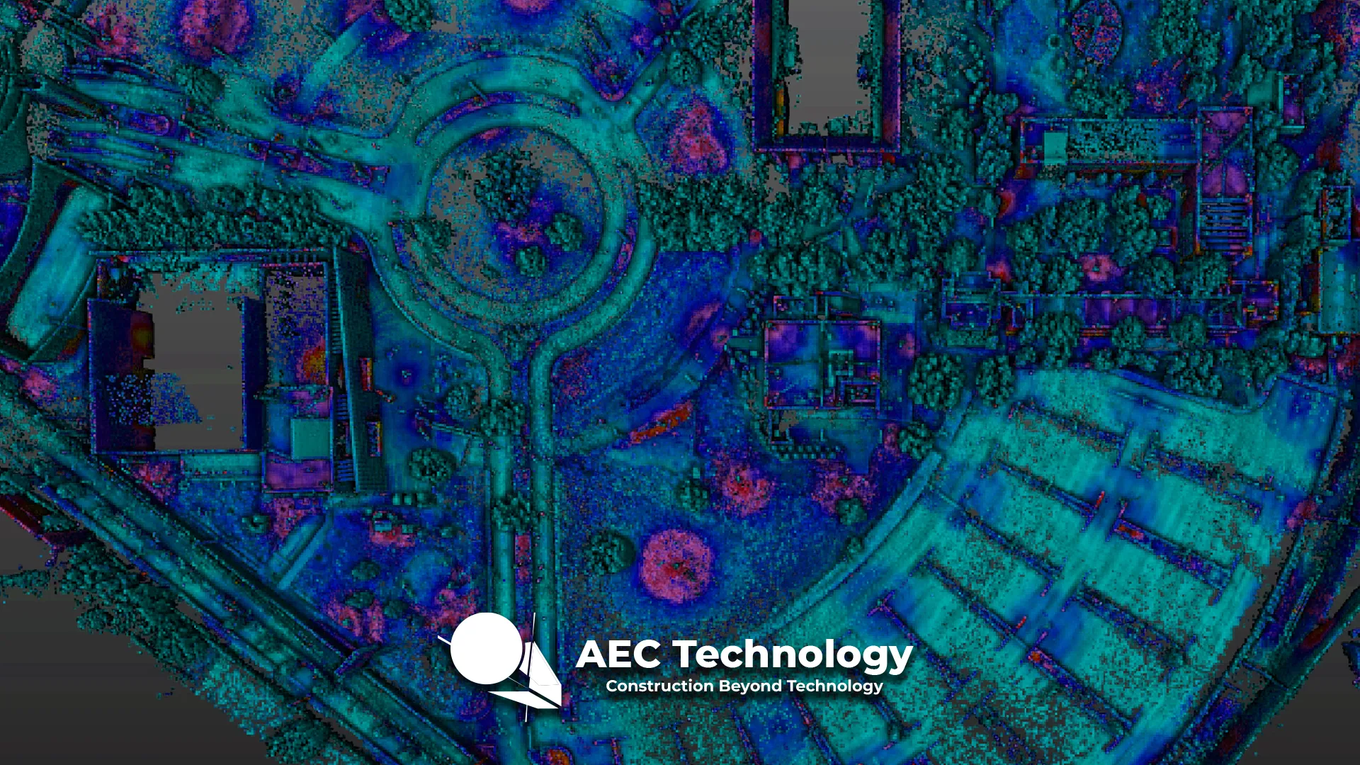
Point Cloud Surveying Using Laser Scanners and Development of BIM Models for Existing Buildings and Infrastructure....
Puerta de Hierro Residential Development
Reality capture through laser scanning to generate a detailed BIM model, documenting the initial conditions of the land and existing structures for the design and...
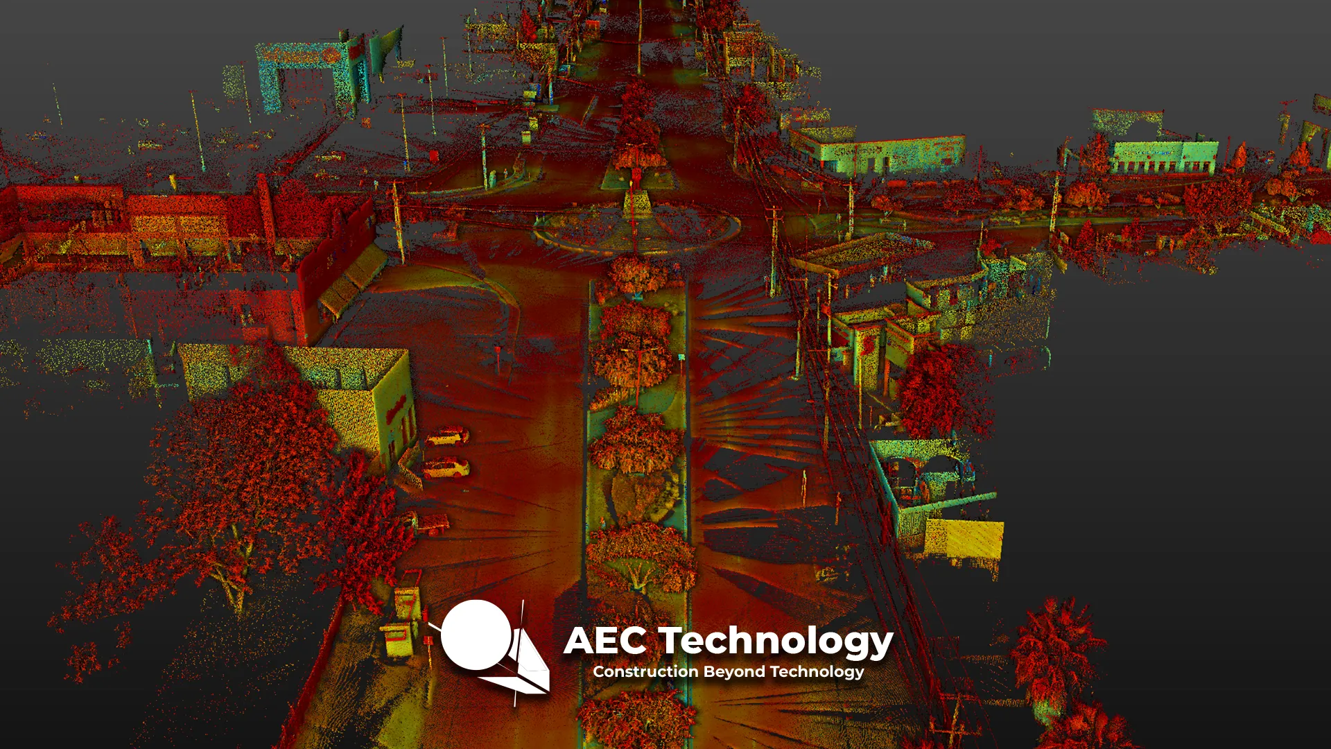
Road Intersection at Lincoln and Kennedy Streets
Point Cloud Survey using a laser scanner for construction control in civil structures, accurately documenting progress and current conditions to ensure execution aligns with plans...
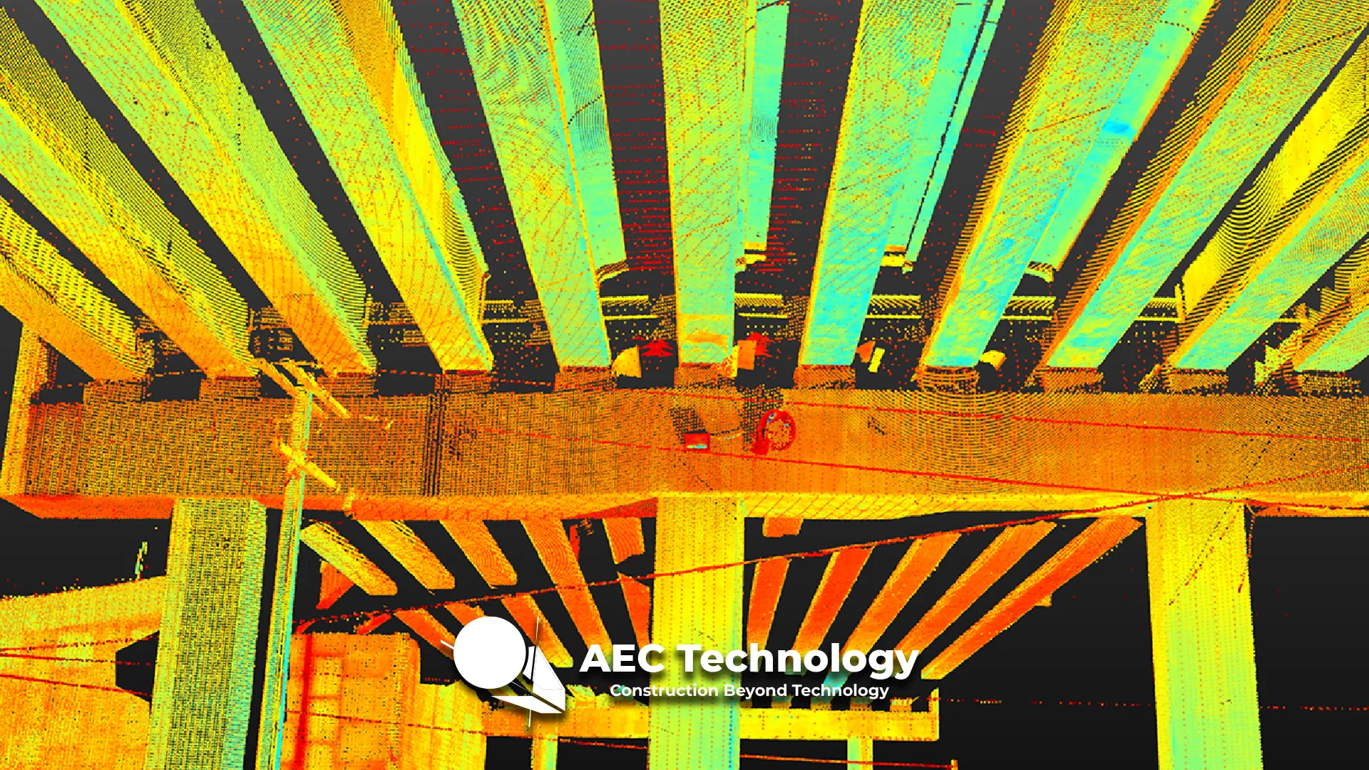
El Pípila Road Intersection
Point Cloud Survey using a laser scanner to accurately document the existing conditions of a bridge, serving as a basis for its BIM modeling....
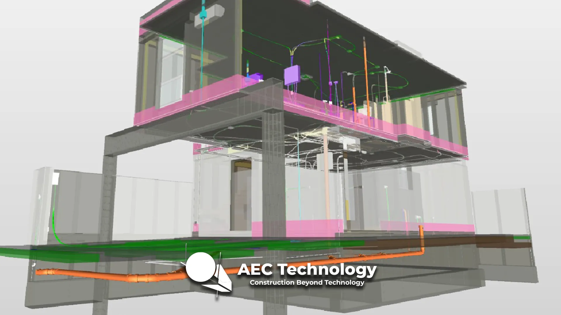
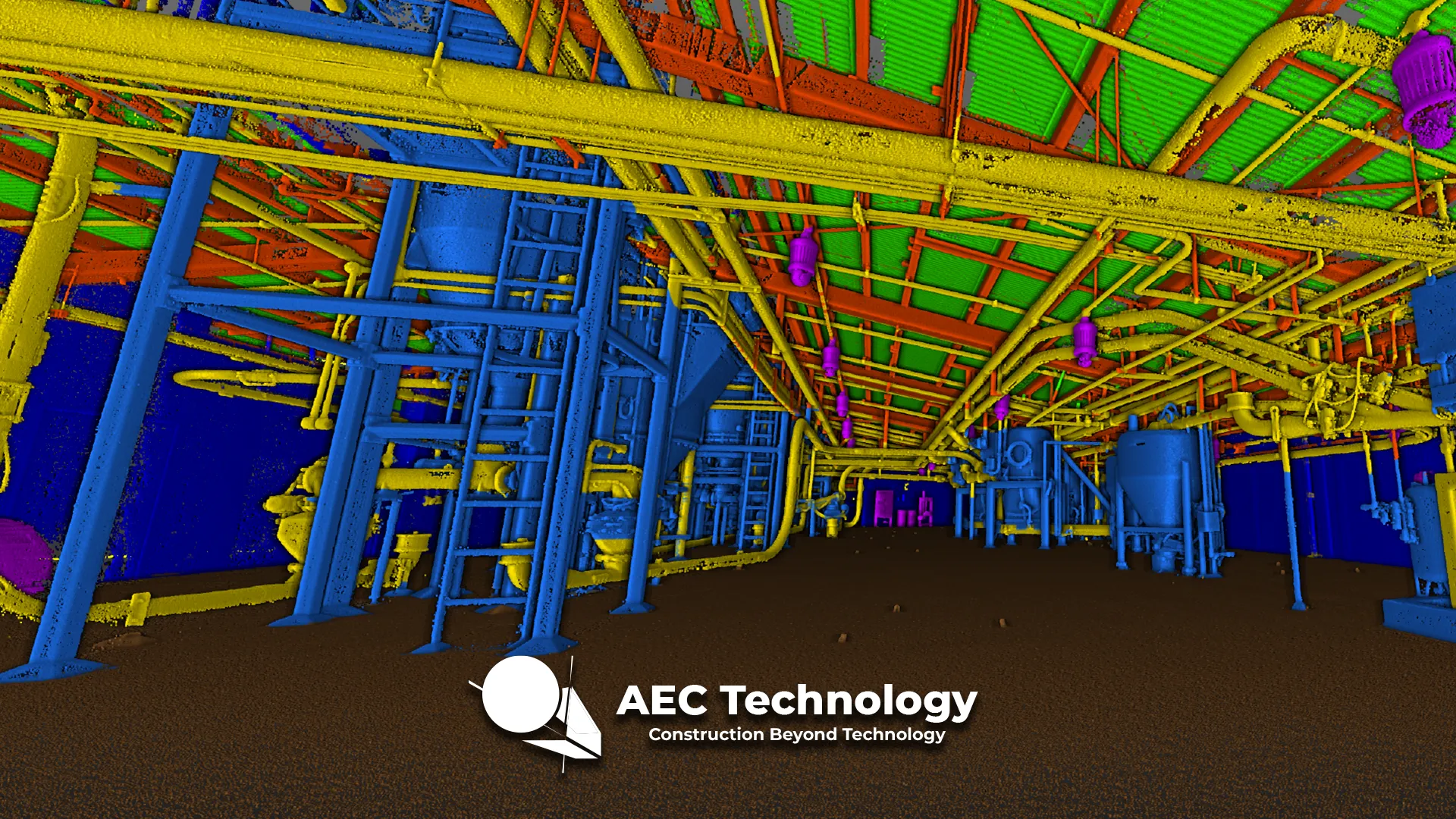
SuKarne Industrial Plant
Point Cloud Survey through Laser Scanning and Execution of MEP Engineering Designs for the Adaptation of the Production Plant....
Nissan Industrial Plant
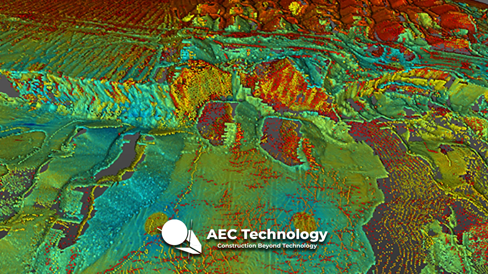
Point cloud survey using a laser scanner to accurately document the characteristics and dimensions of the material bank, facilitating its analysis and management in construction...
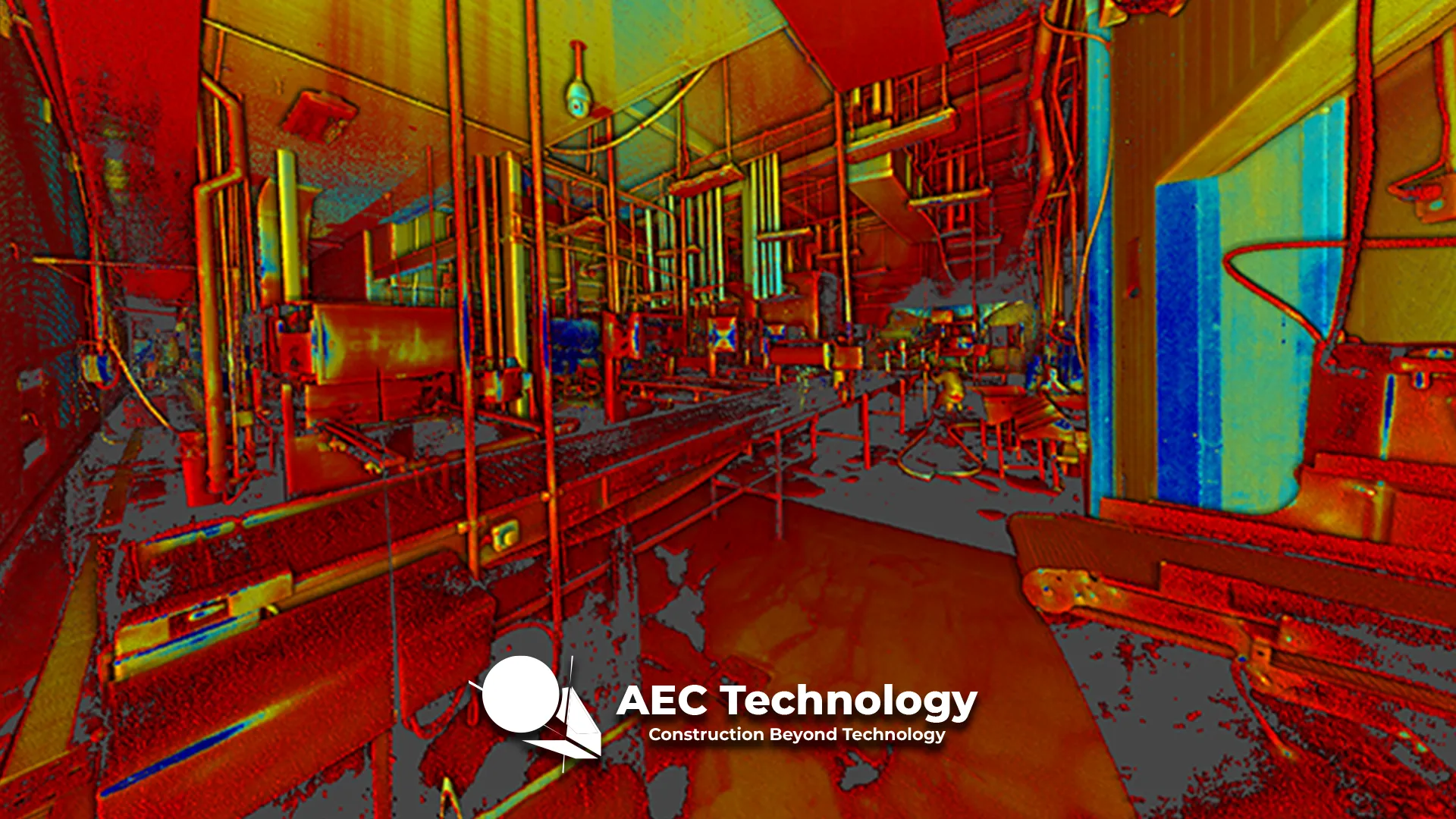
Mondeléz Industrial Plant
Point cloud survey using a laser scanner for accurate documentation of an industrial plant, providing detailed data for analysis, design, and planning....
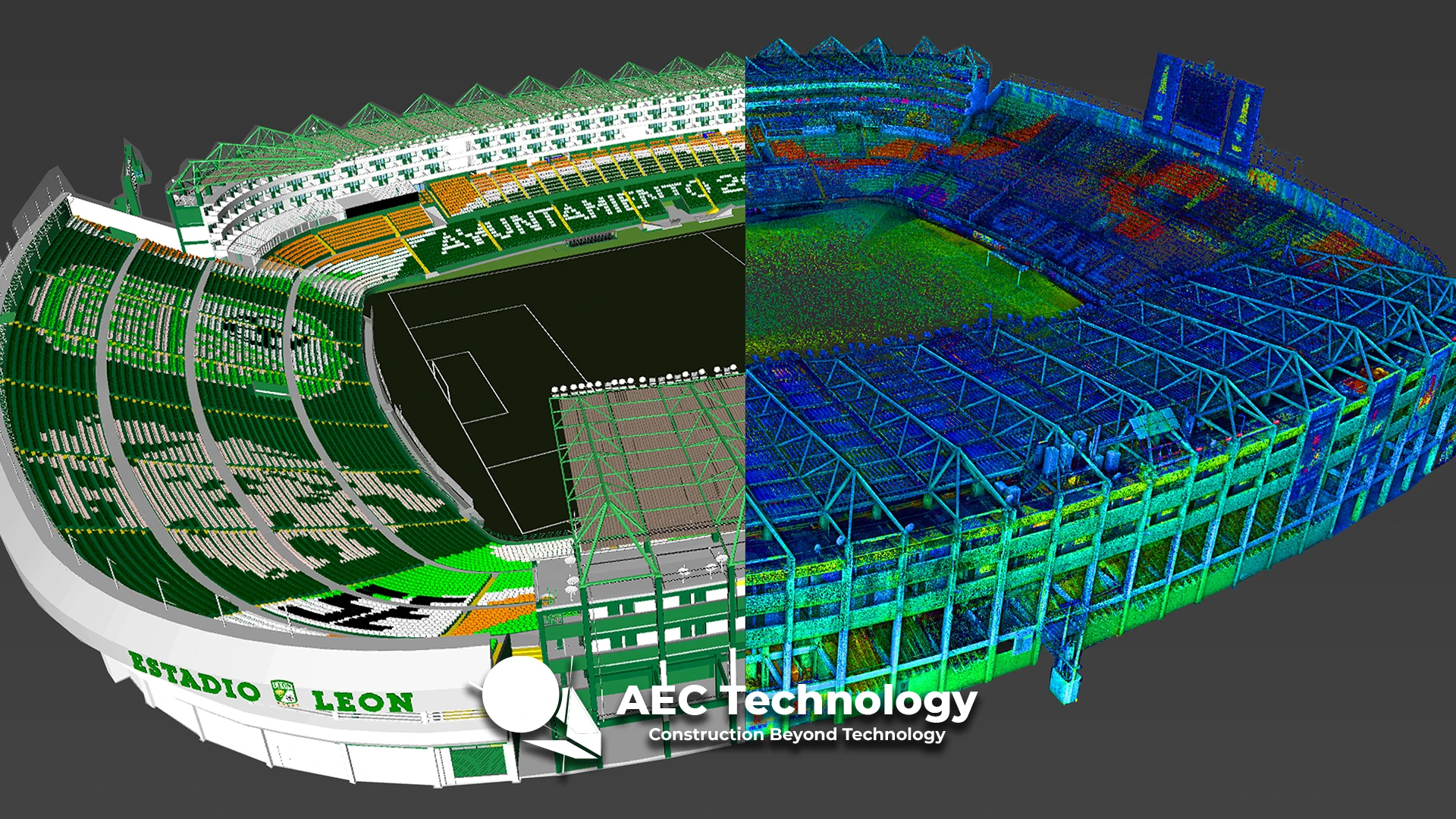
Nou Camp Stadium
Point Cloud Survey Using Laser Scanner and Development of BIM Models for Existing Constructions....