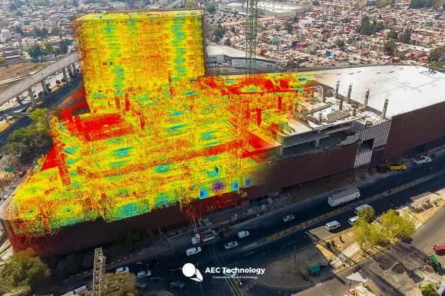
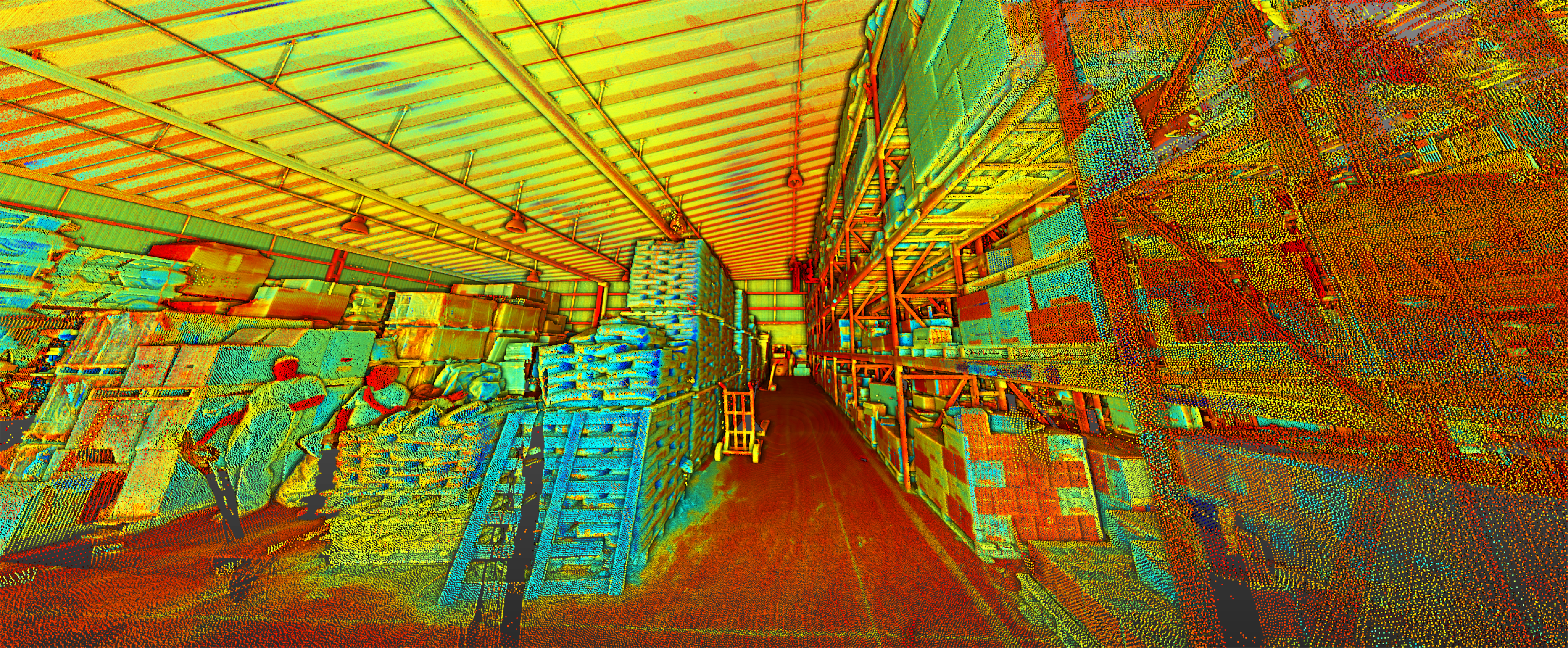
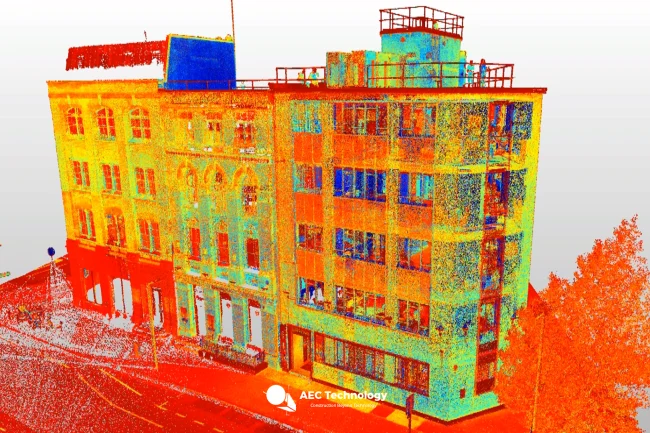
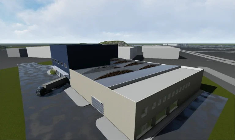
A point cloud survey was conducted using terrestrial laser scanning and the development of a BIM model for the design and construction of the expansion and remodeling of an industrial building, a loading dock, and a sales room. This work provided precise and detailed documentation, ensuring efficient planning and coordinated project execution.
Client:
Urbana
Location:
Tlalnepantla,
México
Year:
2019
REALITY
CAPTURE
DIGITAL
MODELS
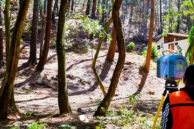
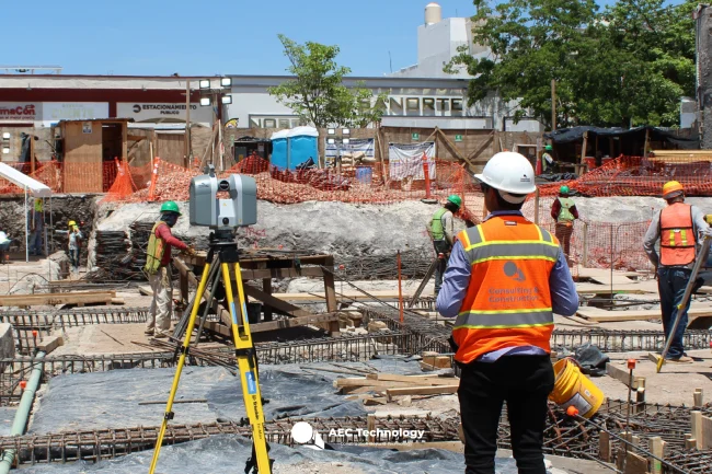
TERRESTRIAL
LASER SCANNING
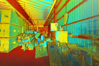
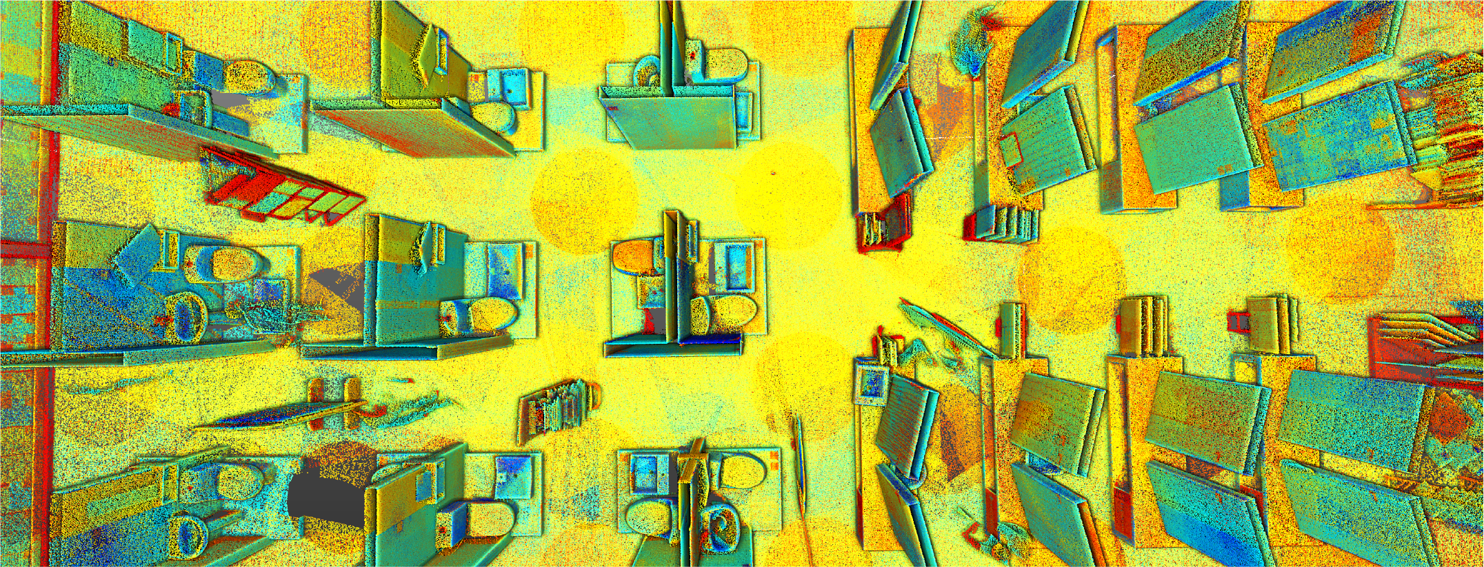
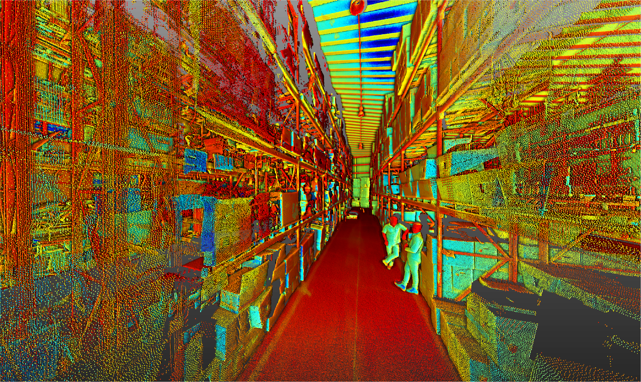
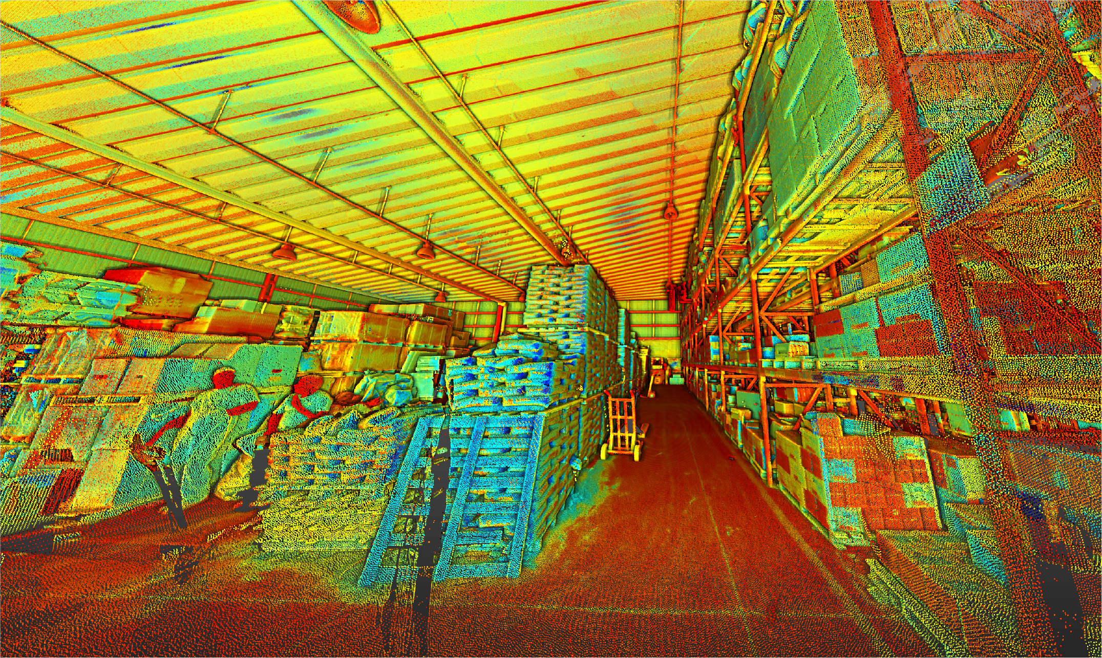
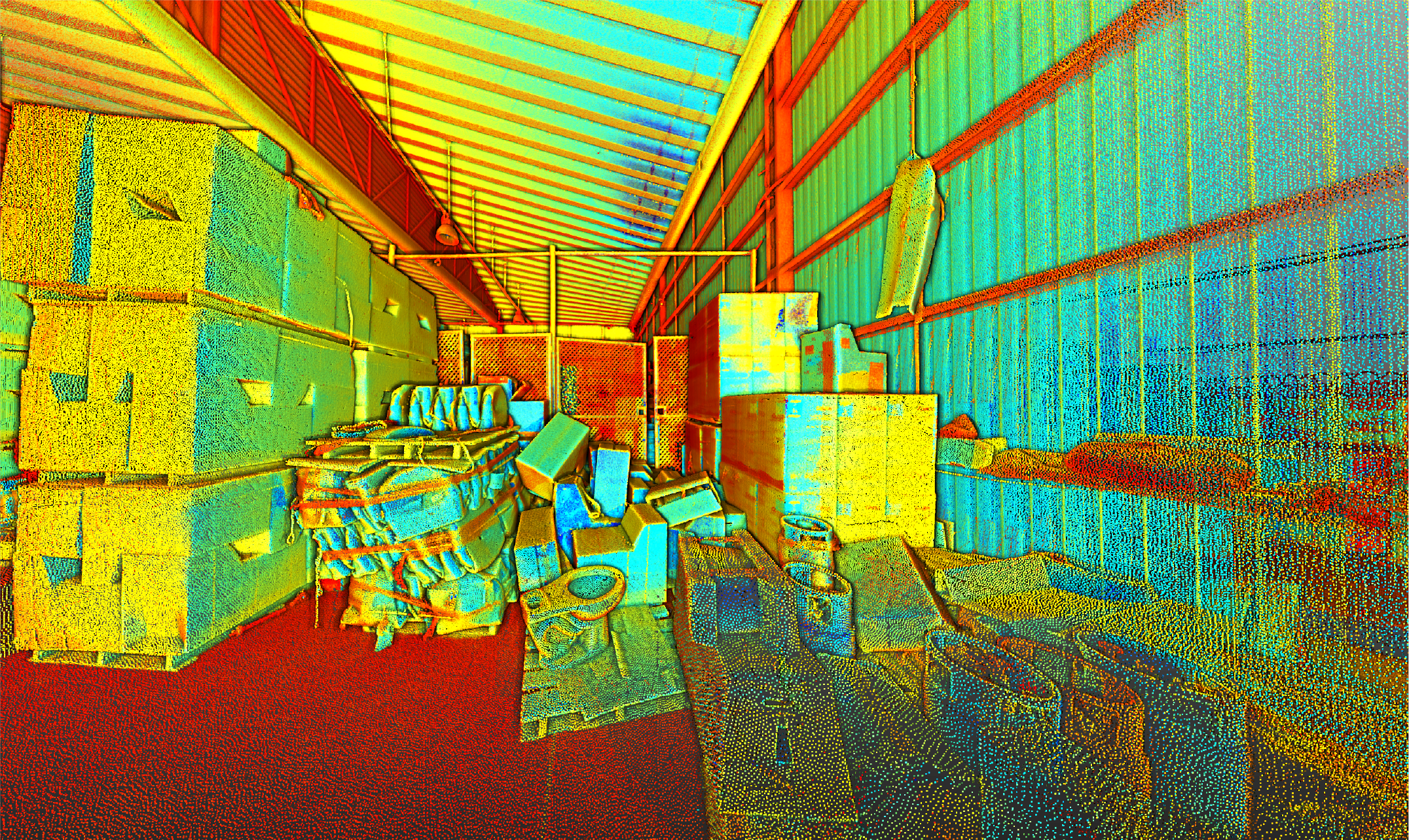
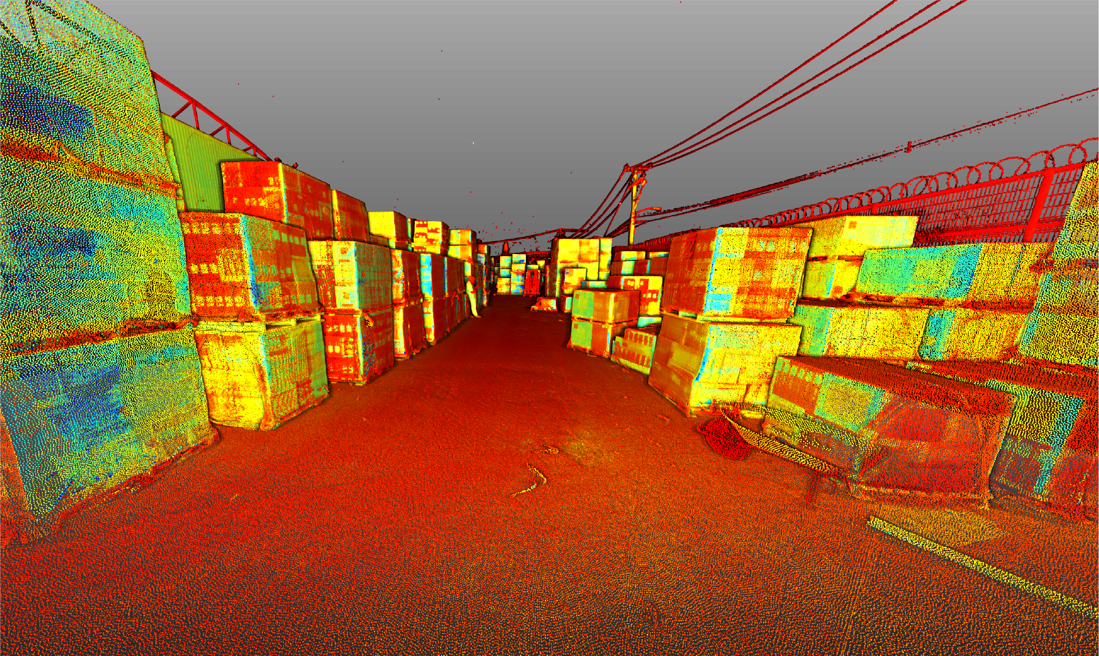
The terrestrial laser scanning captured millions of points with high precision, generating a point cloud that documented the architectural and structural conditions of the industrial building, loading dock, and sales room. This information served as a reliable foundation for the analysis and design of the expansion and remodeling project.
BIM (Building
Information
Modeling)
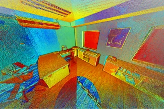
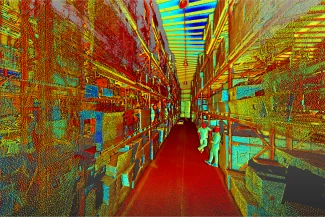
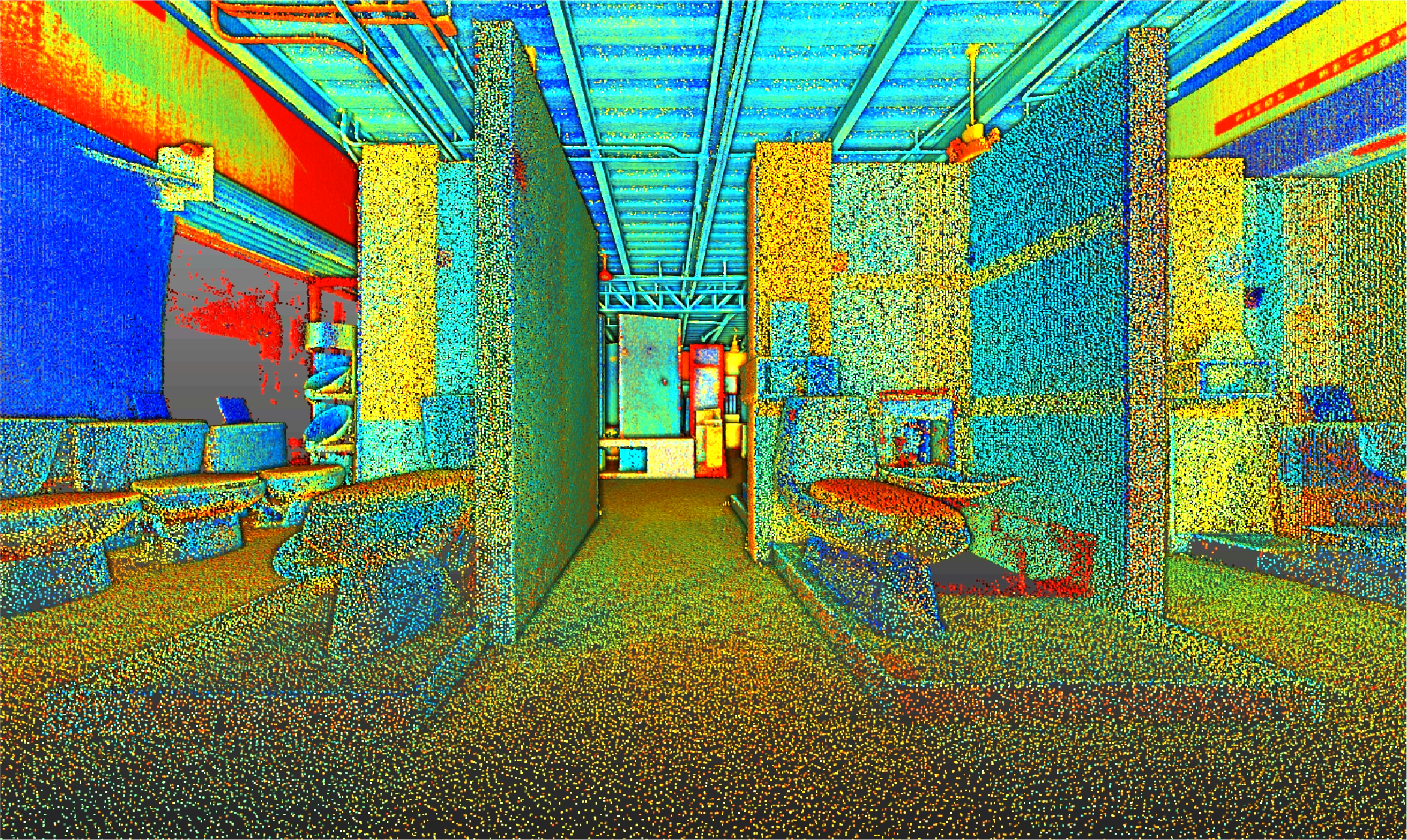
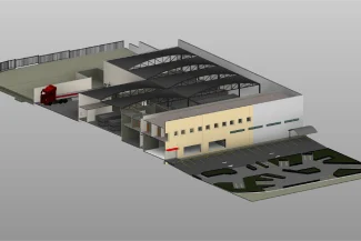
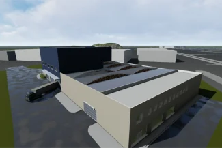
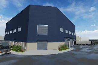
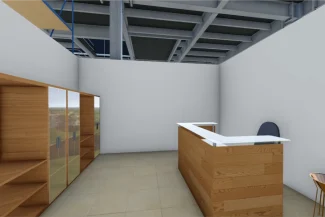
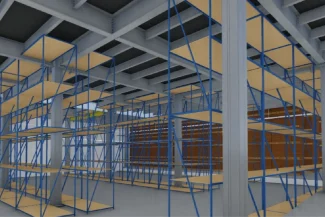
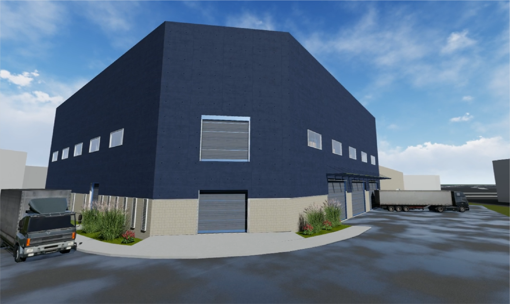
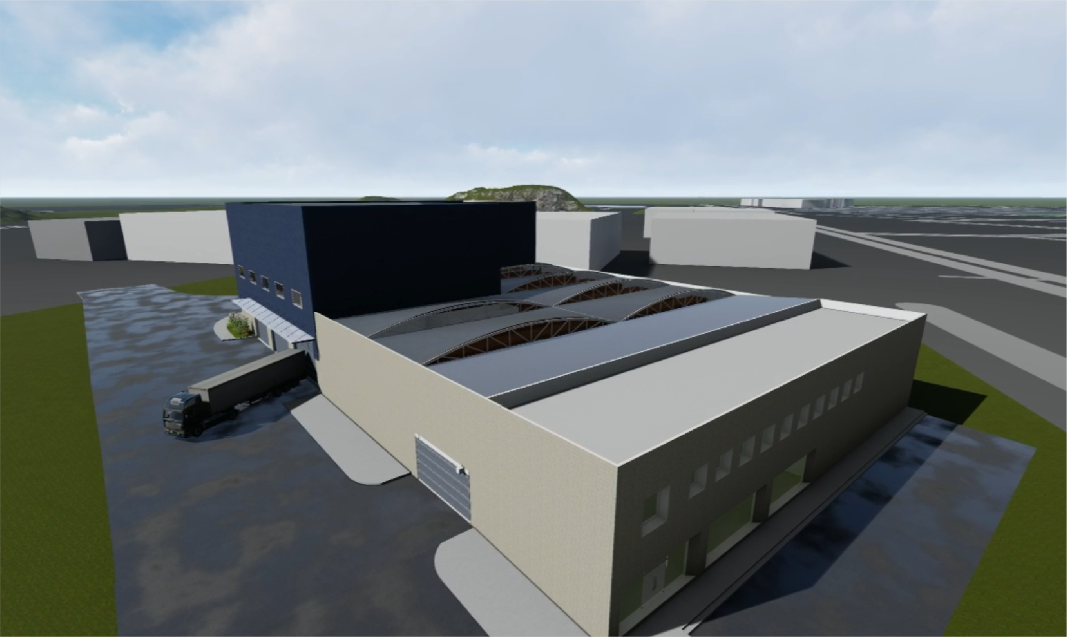
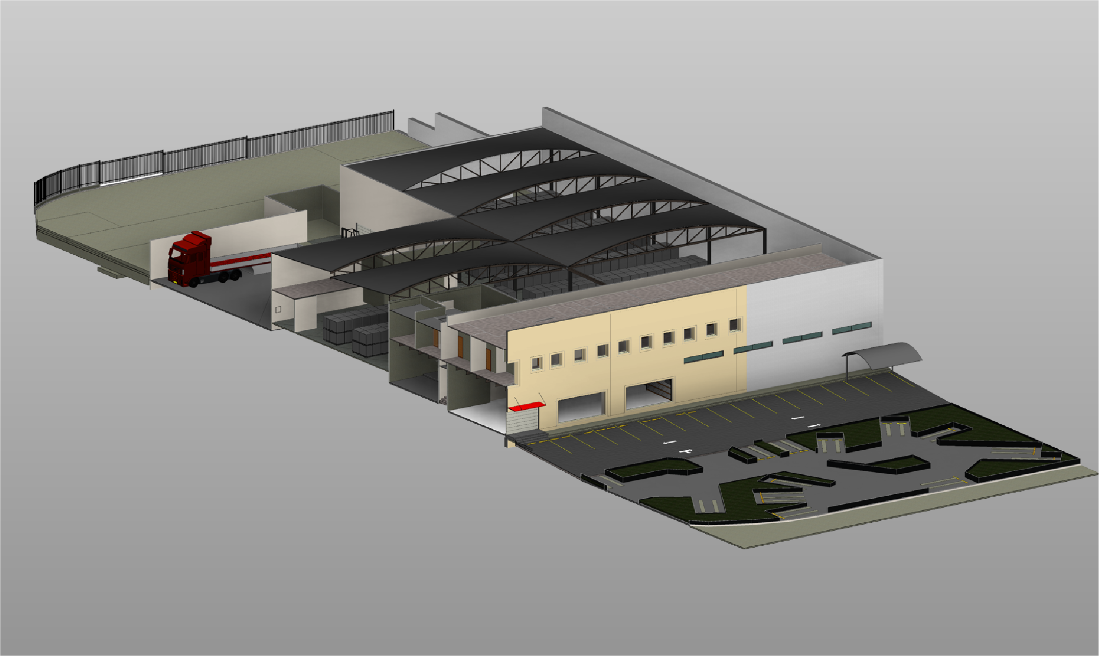
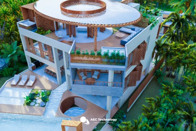
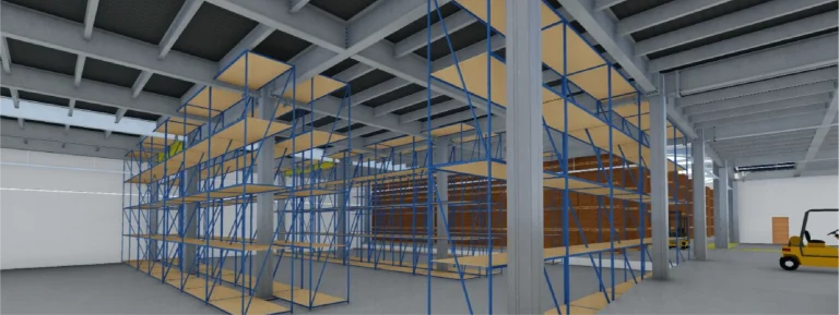
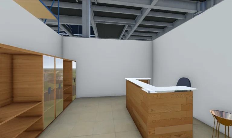
Based on the point cloud, a BIM model was developed that integrated all relevant information about the project. This model enabled discipline coordination, optimized design, and planned execution, ensuring efficient management aligned with the goals of the expansion and remodeling.
A point cloud survey was conducted using terrestrial laser scanning and the development of a BIM model for the design and construction of the expansion and remodeling of an industrial building, a loading dock, and a sales room. This work provided precise and detailed documentation, ensuring efficient planning and coordinated project execution.
REALITY CAPTURE
Terrestrial Laser Scanning
The terrestrial laser scanning captured millions of points with high precision, generating a point cloud that documented the architectural and structural conditions of the industrial building, loading dock, and sales room. This information served as a reliable foundation for the analysis and design of the expansion and remodeling project.
DIGITAL MODELS
BIM
(Building Information Modeling)
Based on the point cloud, a BIM model was developed that integrated all relevant information about the project. This model enabled discipline coordination, optimized design, and planned execution, ensuring efficient management aligned with the goals of the expansion and remodeling.