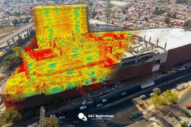
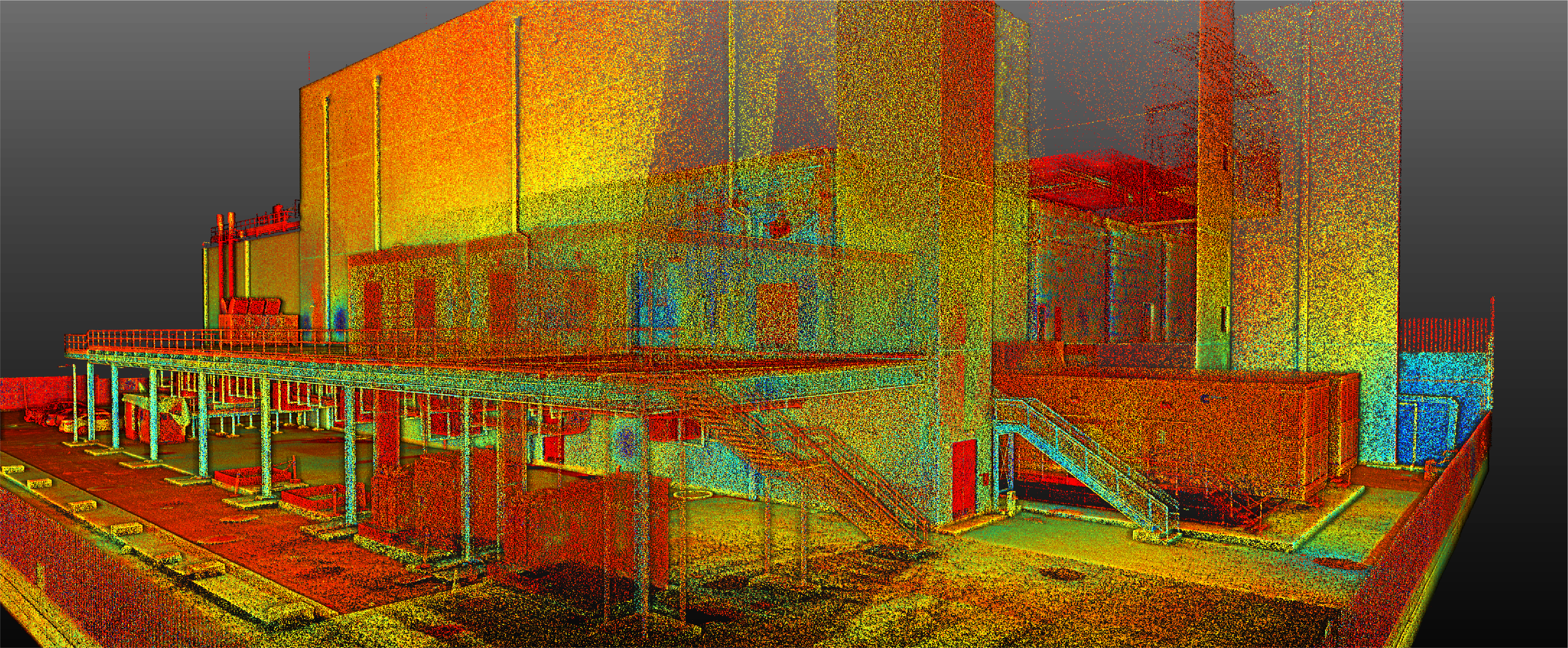
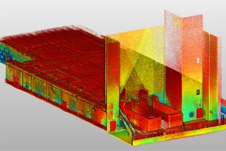
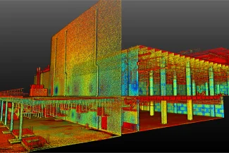
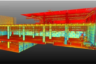
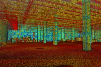
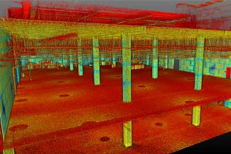
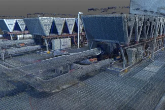
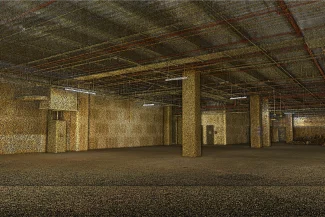
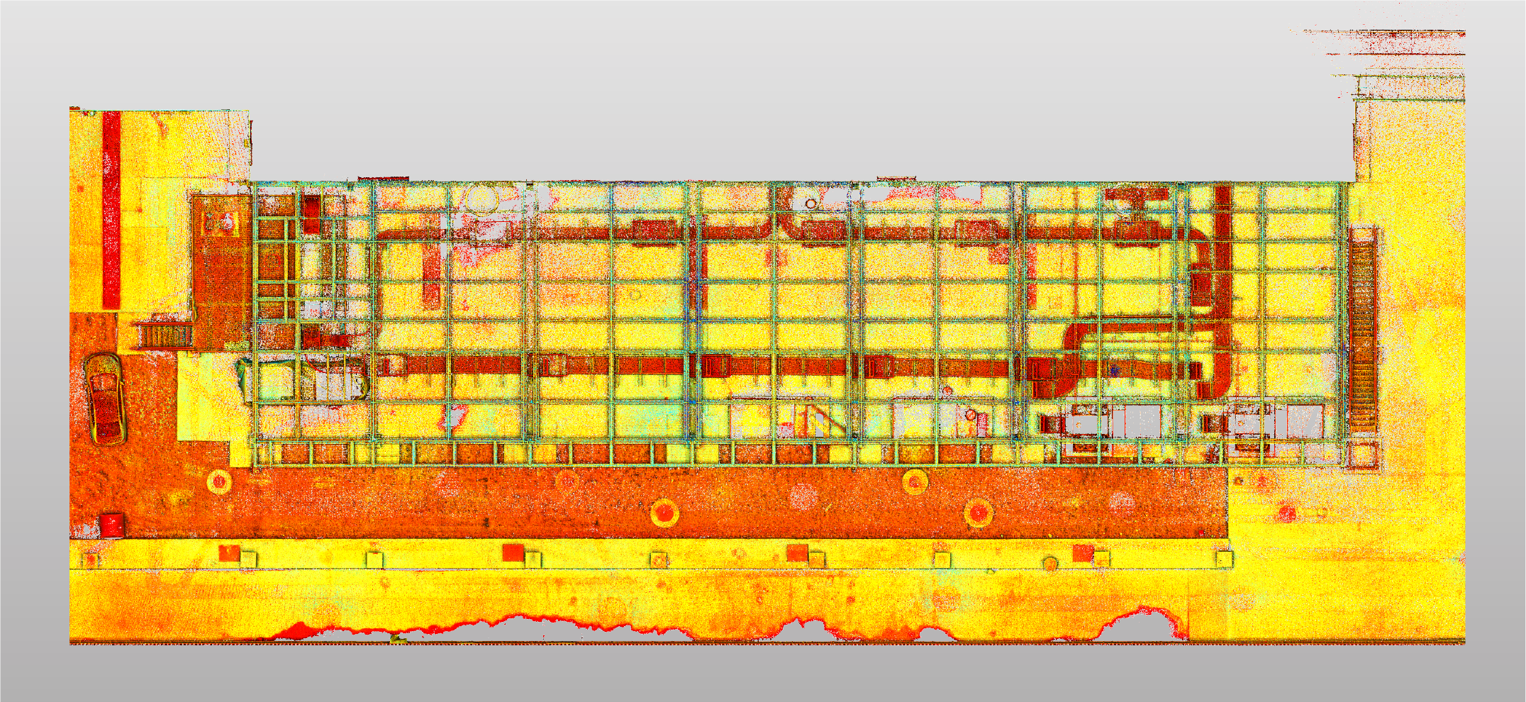
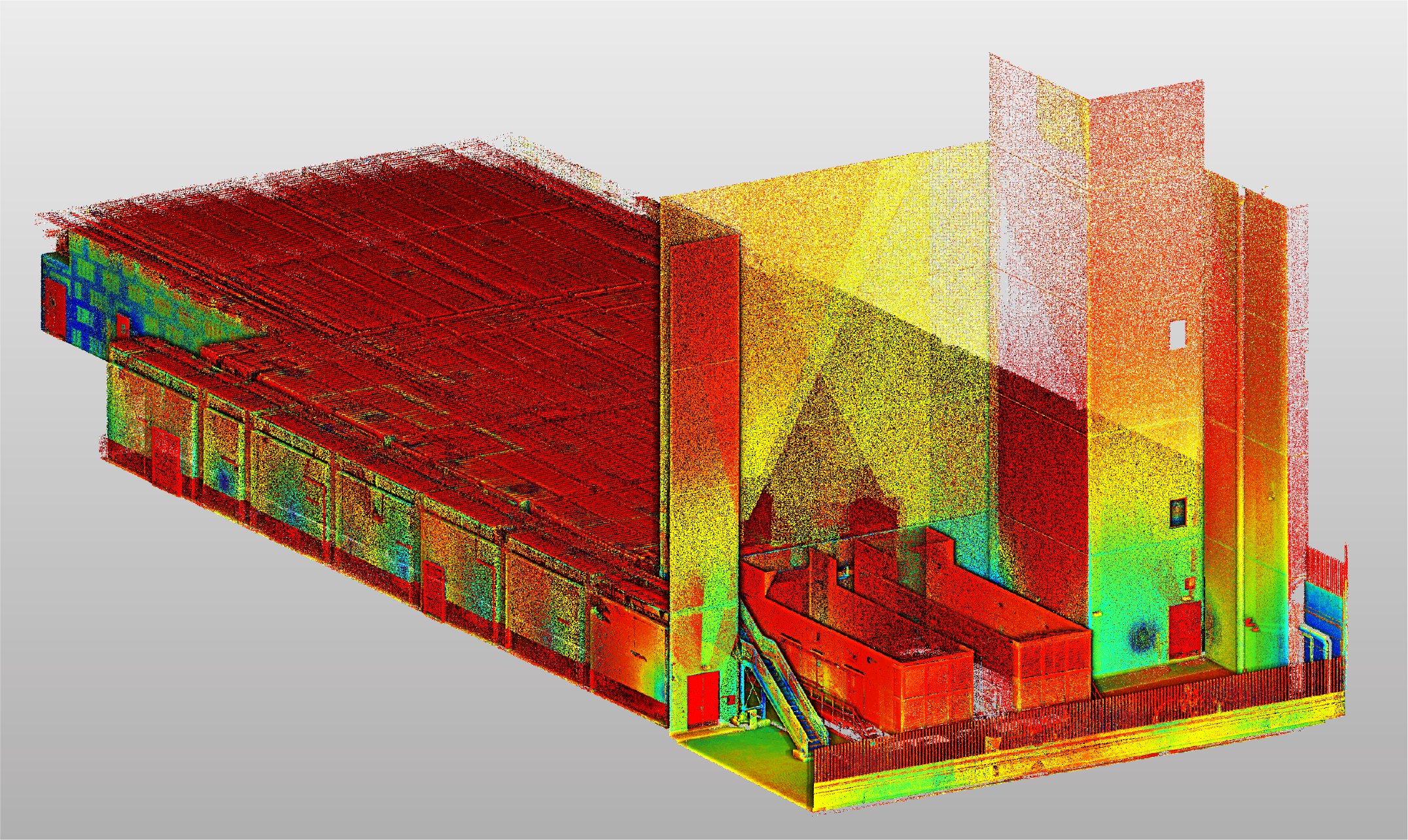
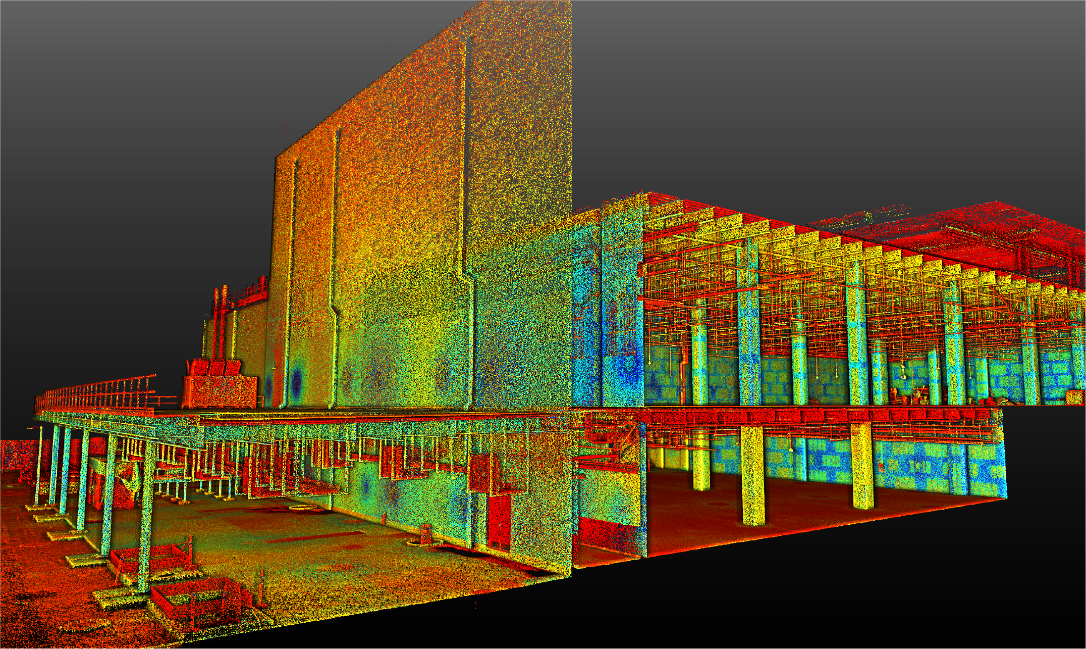
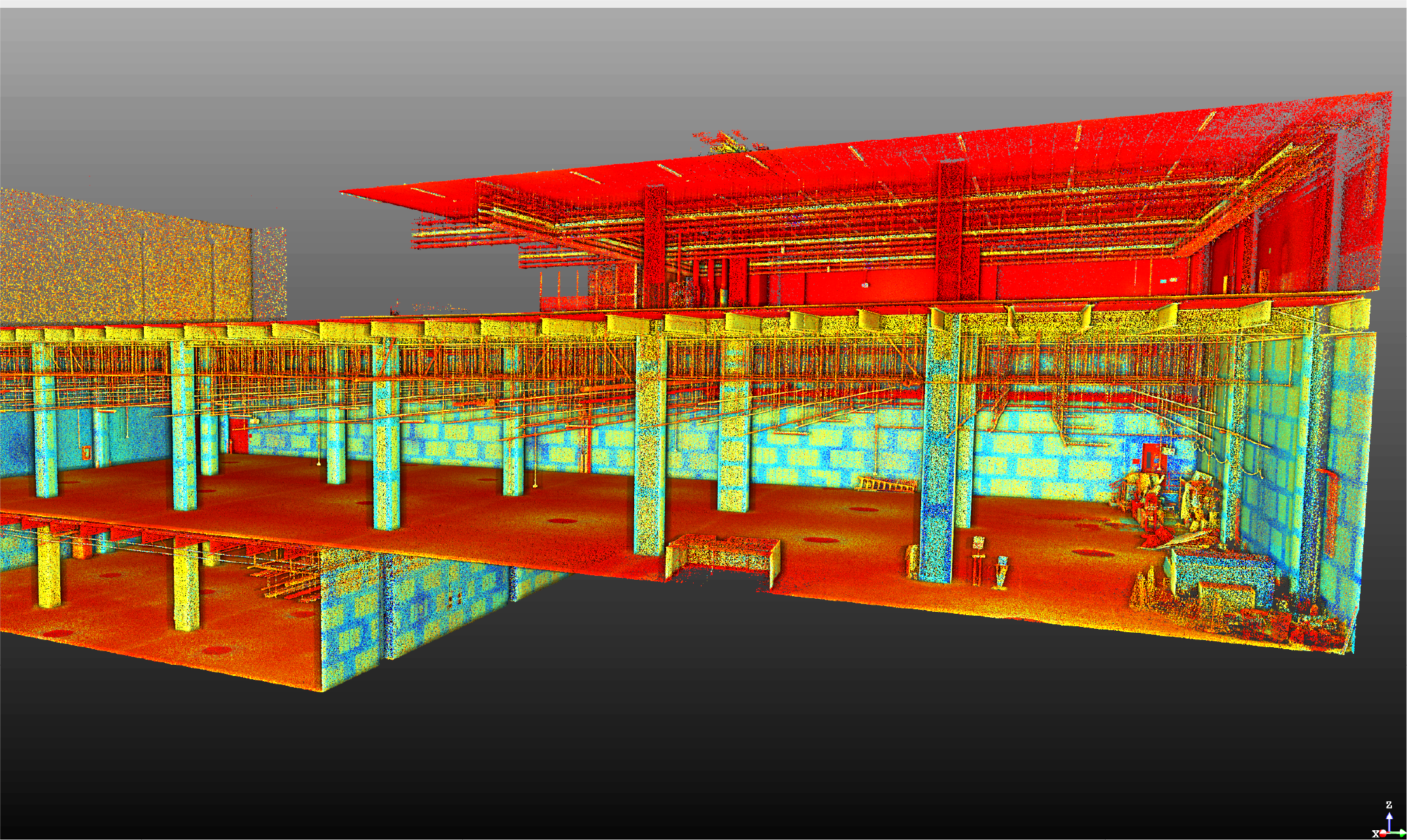
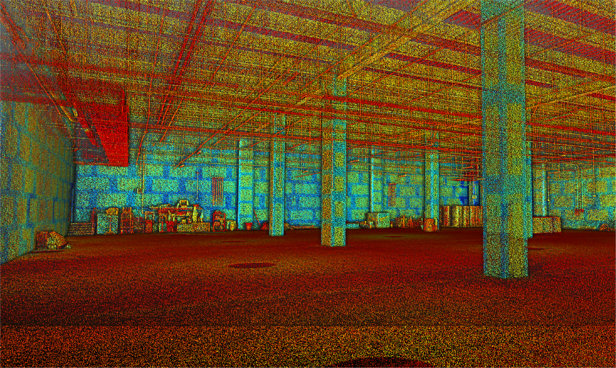
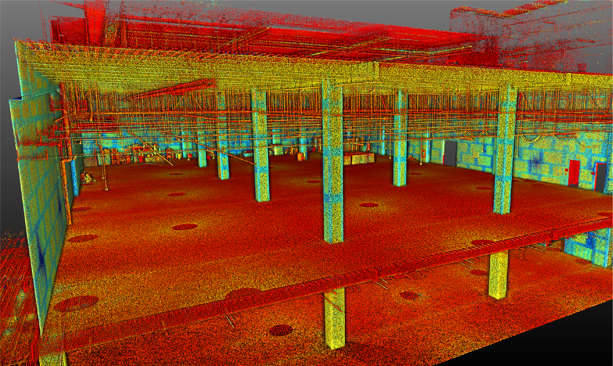
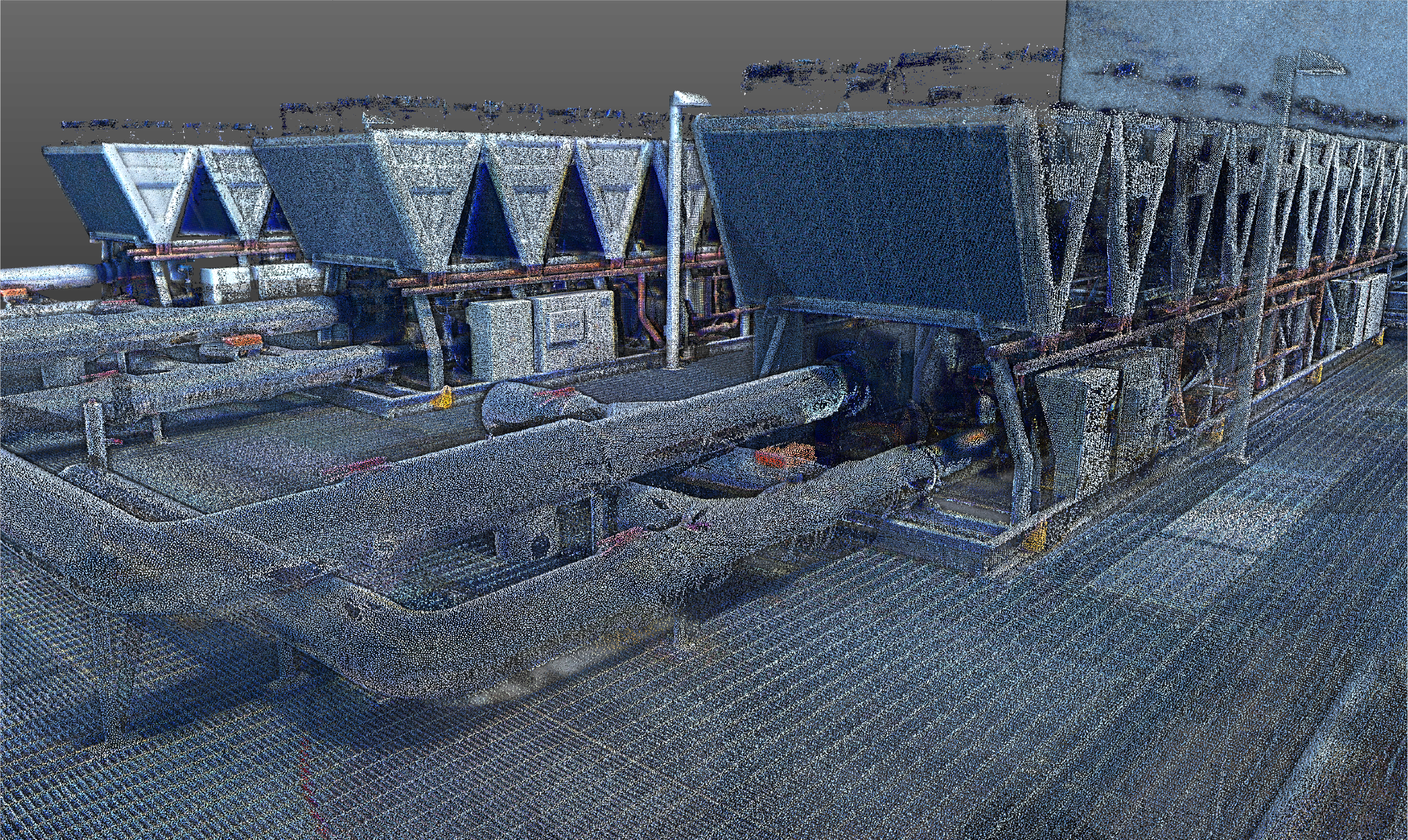
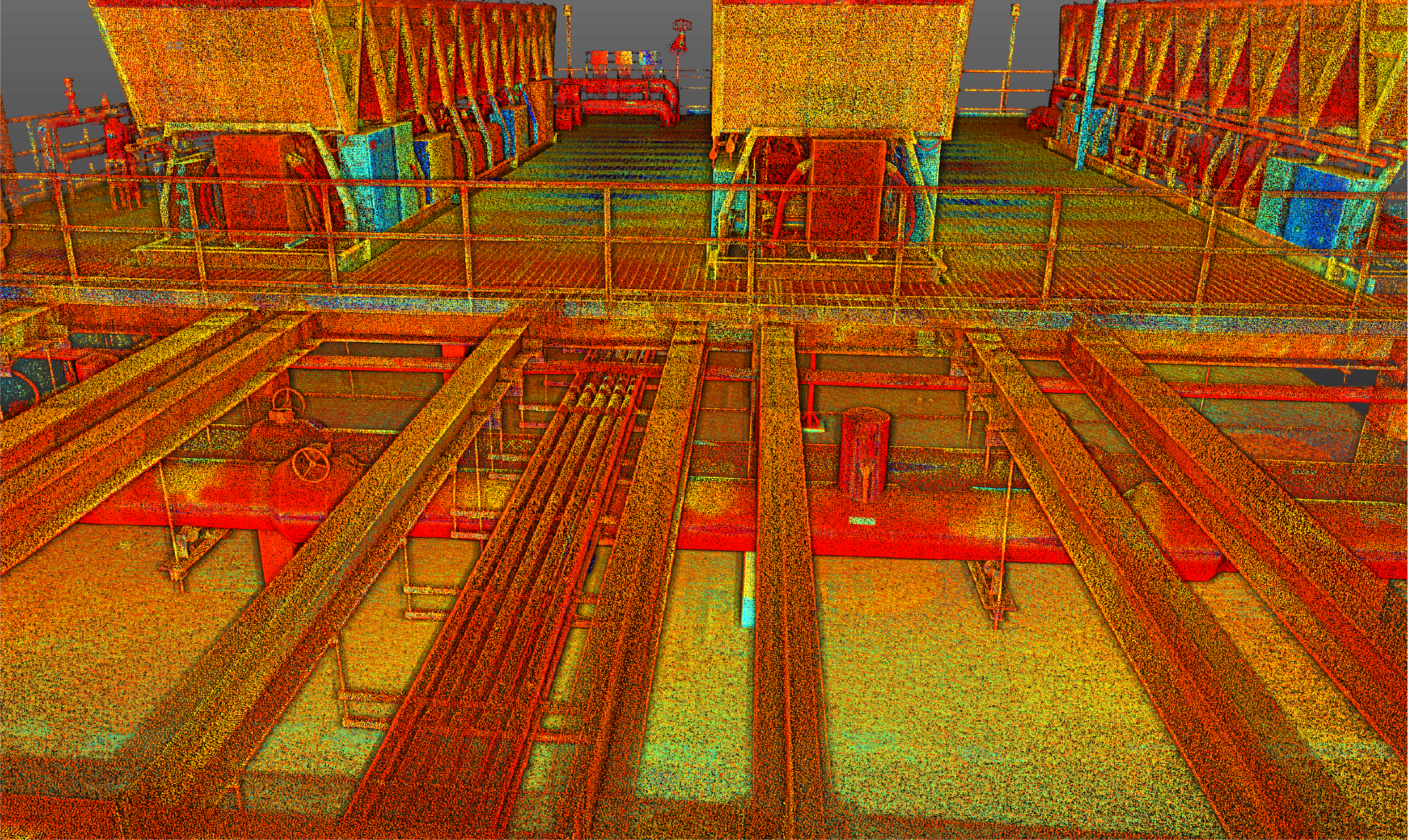
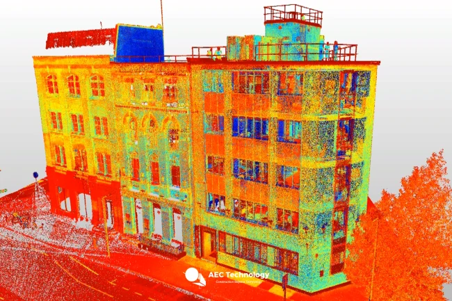
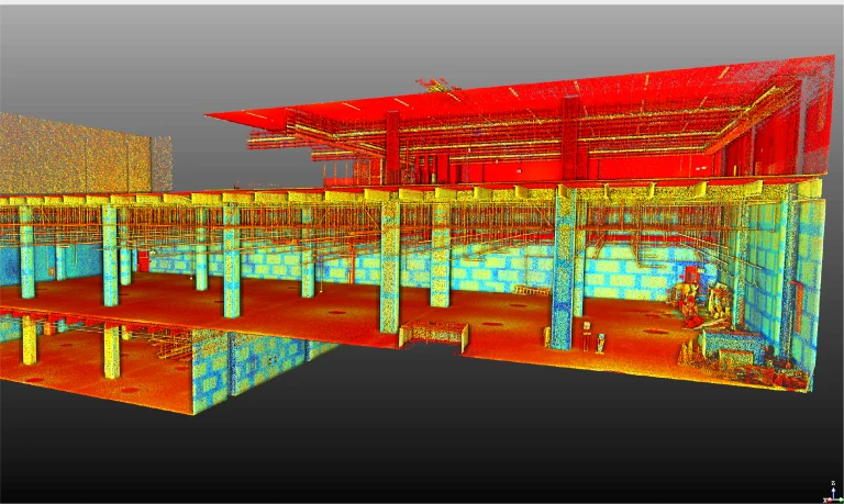
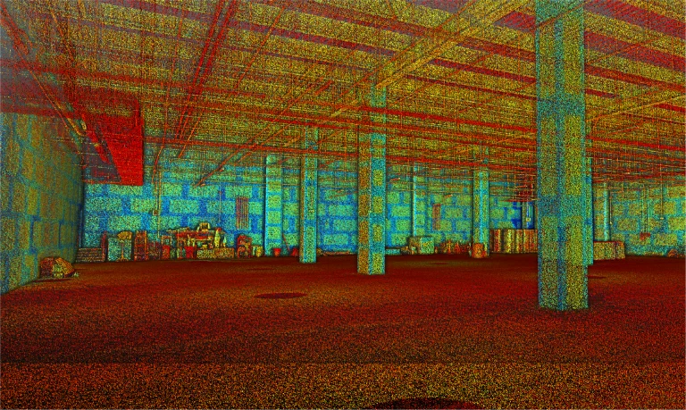
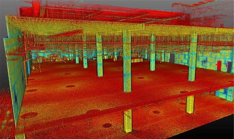
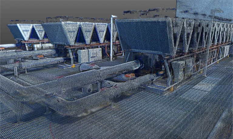
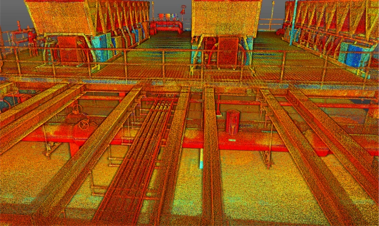
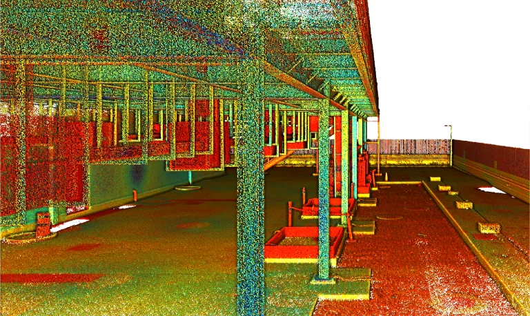
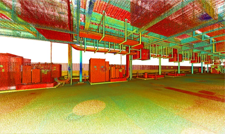
Reality capture was conducted for the expansion of the Equinix MX2 Data Center, generating a model based on a terrestrial laser scan survey. This process provided accurate information for project planning and execution.
Client:
BOVIS
Location:
El Marqués,
México
Year:
2024
REALITY
CAPTURE
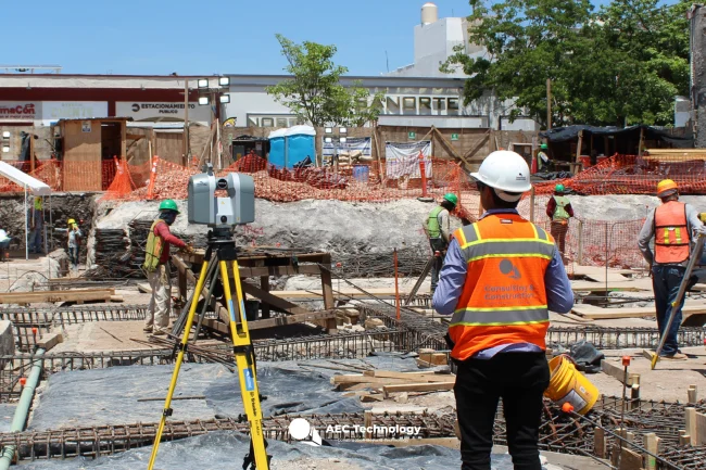
TERRESTRIAL
LASER SCANNING
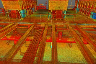
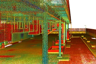
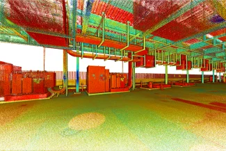
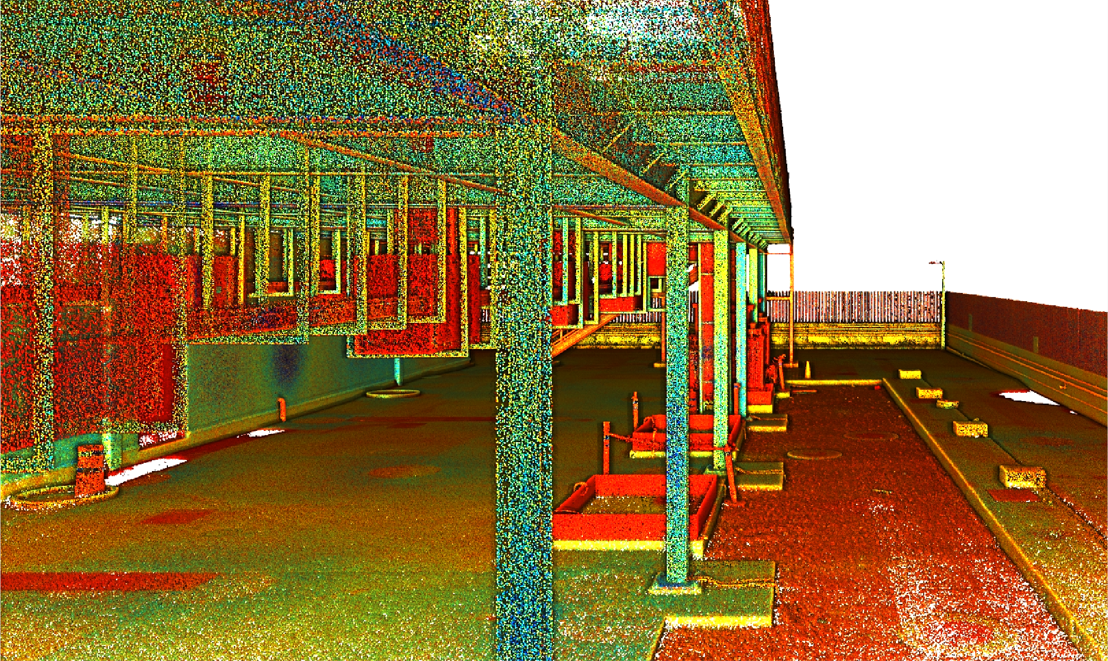
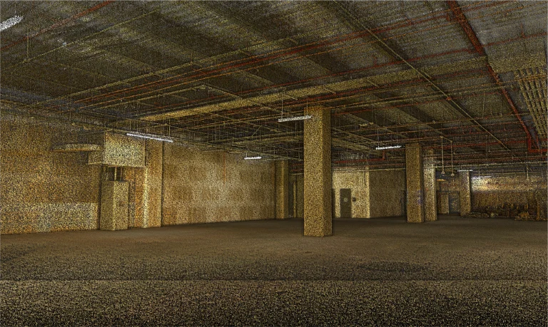
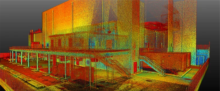
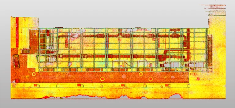
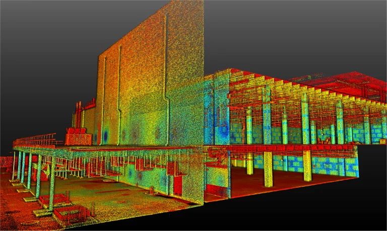
Terrestrial laser scanning captured a high-precision point cloud, documenting the architectural and structural conditions of the data center. These data were crucial for ensuring accurate modeling and facilitating decision-making in the expansion.
Reality capture was conducted for the expansion of the Equinix MX2 Data Center, generating a model based on a terrestrial laser scan survey. This process provided accurate information for project planning and execution.
REALITY CAPTURE
Terrestrial Laser Scanning
Terrestrial laser scanning captured a high-precision point cloud, documenting the architectural and structural conditions of the data center. These data were crucial for ensuring accurate modeling and facilitating decision-making in the expansion.