
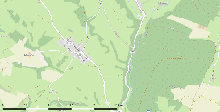
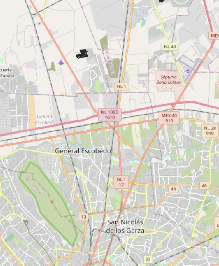
The Geographic Information System (GIS) is a technological tool that enables the capturing, storage, analysis, management, and visualisation of spatial data. In construction, GIS is used for planning, design, and project management, providing accurate information about terrain, existing infrastructure, and urban elements, which improves decision-making and optimises resource use.
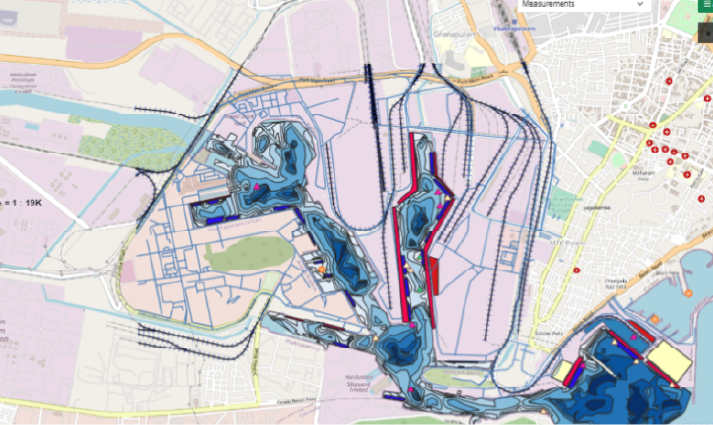
Evaluates urban patterns, analyses population growth, and plans land use, promoting sustainable and efficient development in cities and metropolitan areas.
Uses GIS to manage schedules, budgets, and resources in real time, ensuring process optimisation and the achievement of construction project goals.
GIS facilitates real-time project monitoring, optimises team coordination, and ensures a consistent flow of information to avoid delays and misunderstandings.
Allows for the assessment of environmental impacts, optimises land use, and designs infrastructure that respects the environment and promotes responsible and sustainable development.

The Geographic Information System (GIS) is a technological tool that enables the capturing, storage, analysis, management, and visualisation of spatial data. In construction, GIS is used for planning, design, and project management, providing accurate information about terrain, existing infrastructure, and urban elements, which improves decision-making and optimises resource use.
Evaluates urban patterns, analyses population growth, and plans land use, promoting sustainable and efficient development in cities and metropolitan areas.
Uses GIS to manage schedules, budgets, and resources in real time, ensuring process optimisation and the achievement of construction project goals.
GIS facilitates real-time project monitoring, optimises team coordination, and ensures a consistent flow of information to avoid delays and misunderstandings.
Allows for the assessment of environmental impacts, optimises land use, and designs infrastructure that respects the environment and promotes responsible and sustainable development.