SERVICES / 3D SCAN

OPTIMIZE
DESIGN PROCESSES
DIGITIZE
REALITY
OPTIMIZE
ASSET MANAGEMENT
PERFORM
SPECIAL ANALYSES
CONTROL
THE CONSTRUCTION
PLAN THE
RENOVATIONS AND ADAPTATIONS
APPLICATION FOR
ALL INDUSTRIES

WHAT DO WE DO?

LiDAR TECHNOLOGY SERVICES

01_BLANCO_CAPTURA_DE_LA_REALIDAD copy

LiDAR TECHNOLOGY

What is LiDAR Technology?

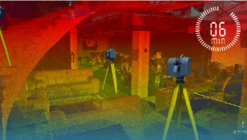
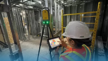
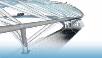
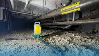
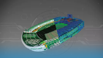
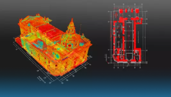
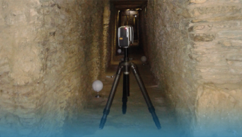
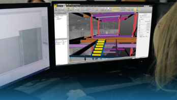
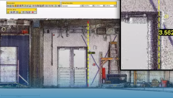
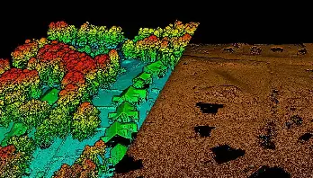
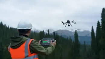
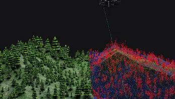
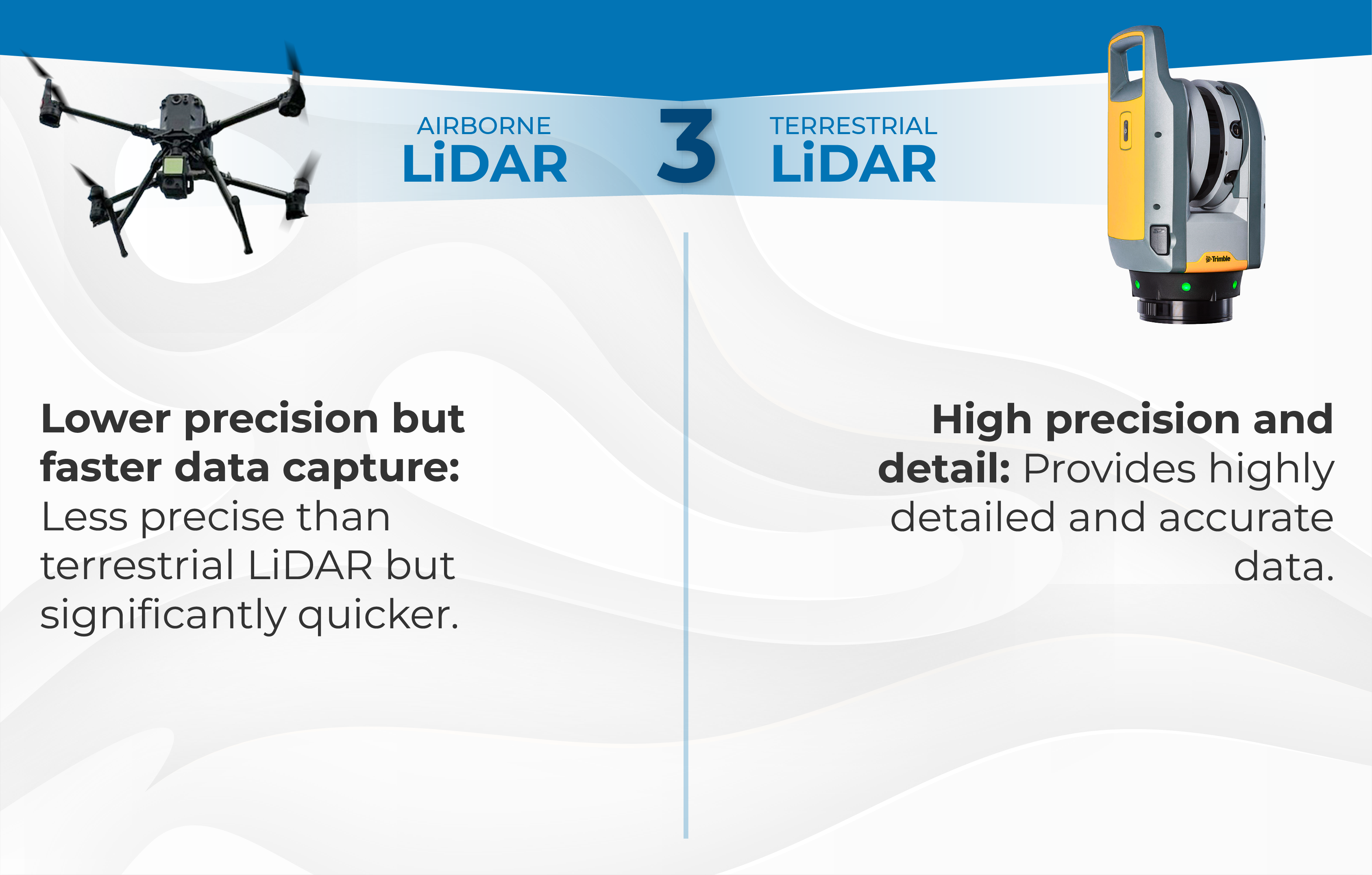
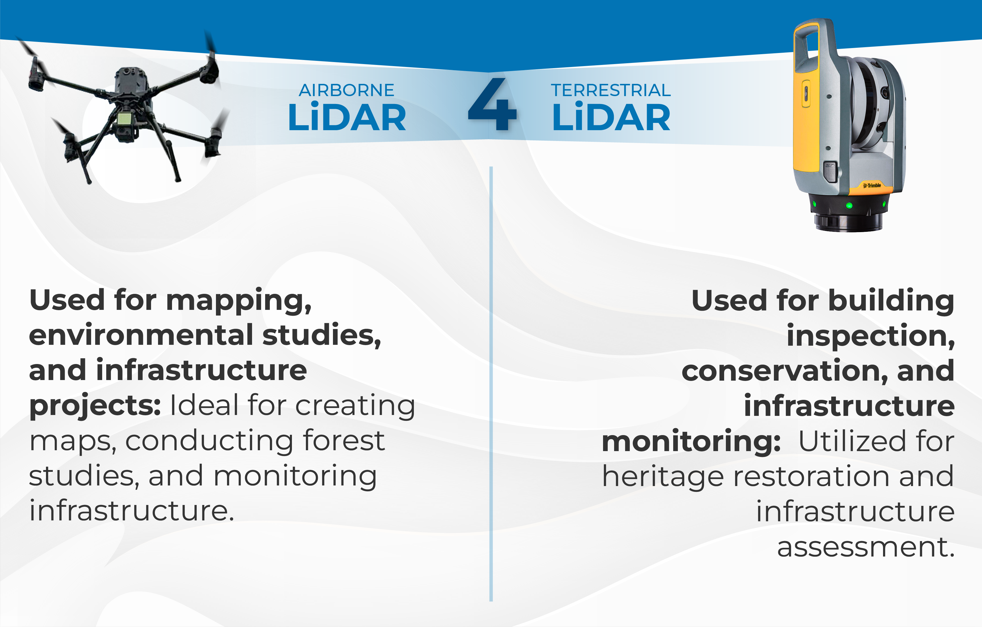
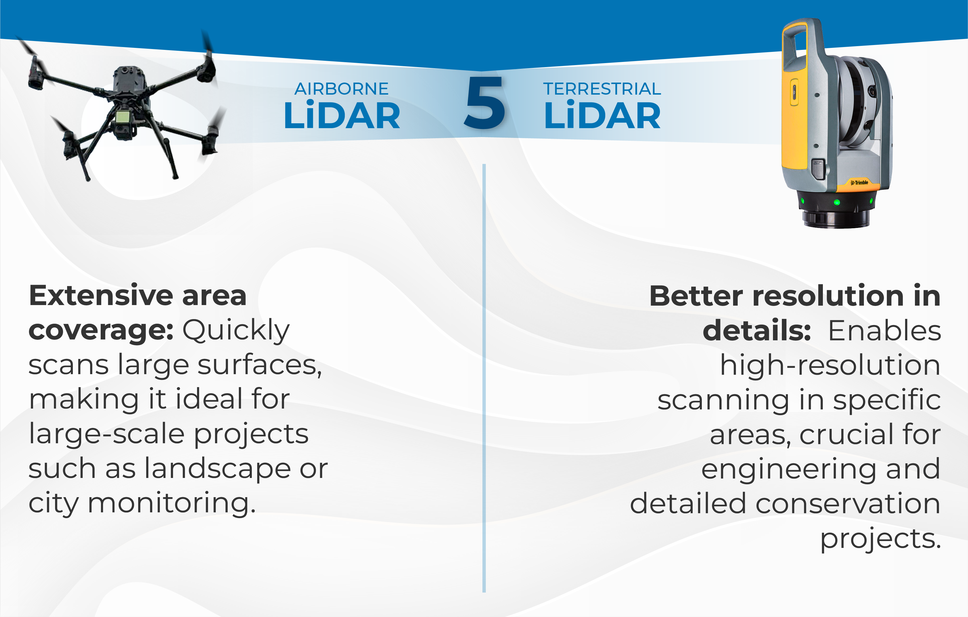
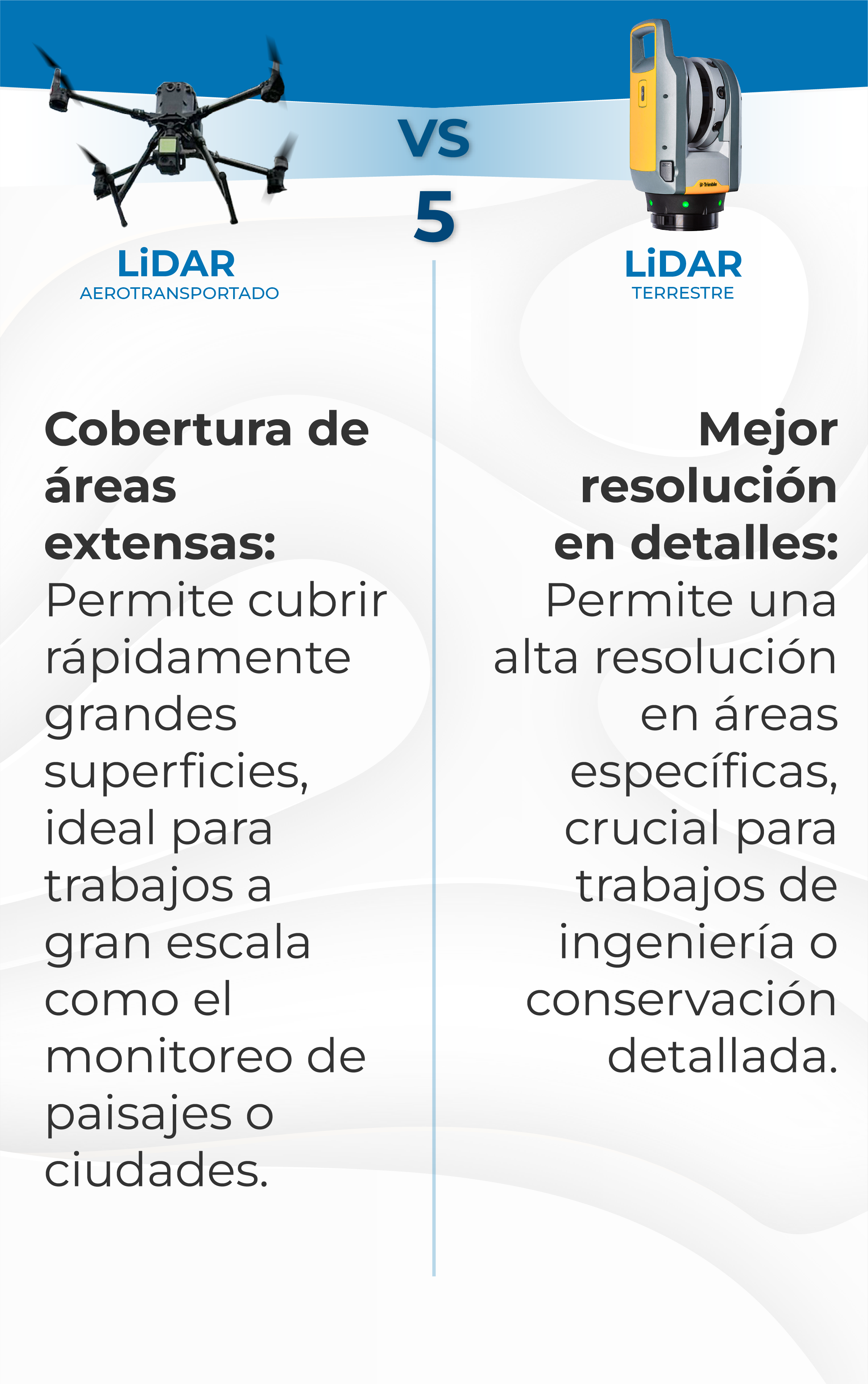
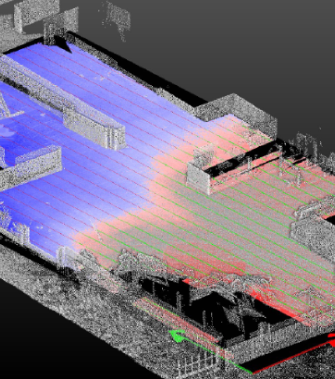
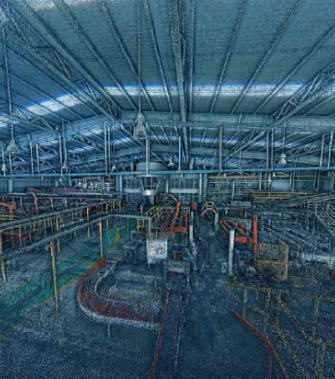
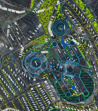
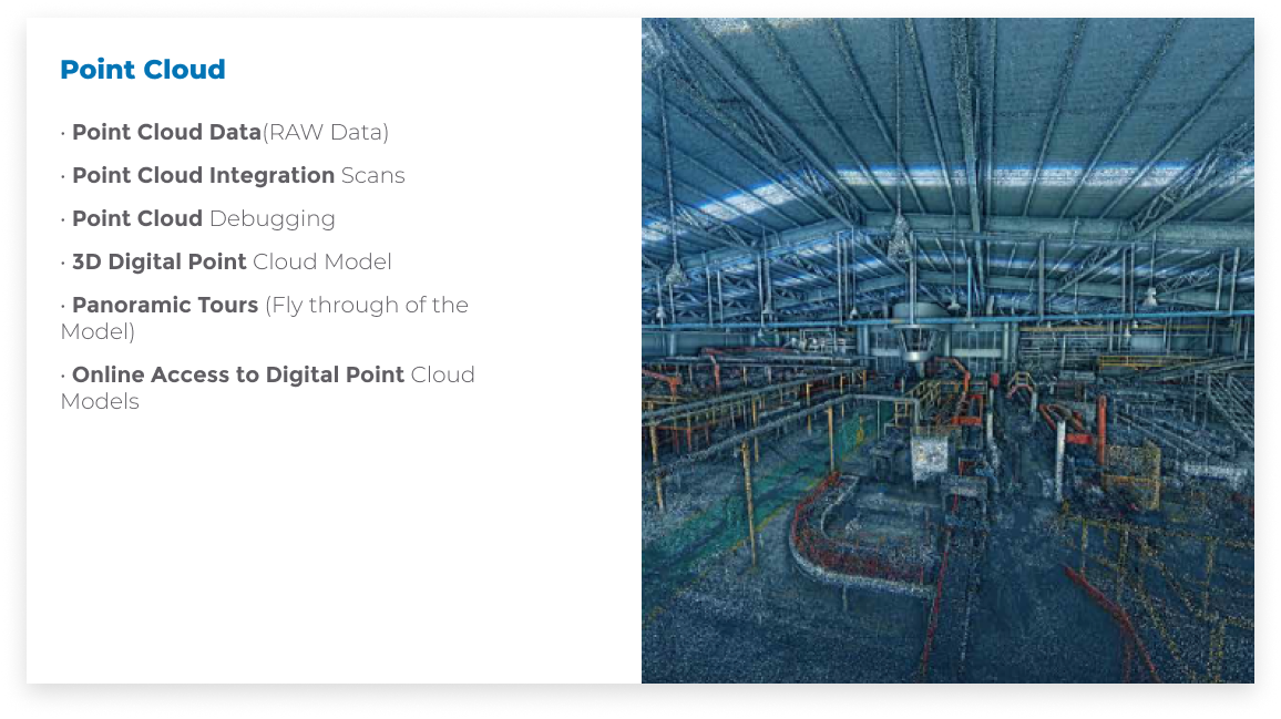
Light Detection and Ranging
It works by emitting thousands of laser pulses per second towards a target and measuring the time it takes for each pulse to reflect and return to the sensor. This information enables the creation of detailed 3D models of terrain, objects, or structures.

LiDAR TECHNOLOGY

BENEFITS OF LiDAR TECHNOLOGY

COST REDUCTION

50% or more labor cost reduction

TIME SAVING

Time saving
on each journey

LESS MANUAL LABOR

Detection of opportunities
and conflicts in early stages
of the project

DETECTION OF CONFLICTS

Detection of opportunities
and conflicts in early stages
of the project

INCREASED SAFETY

Increased safety for work equipment in access areas

SCAN TO BIM

Creation of digital twins for BIM processes
(SCAN TO BIM)

COLLABORATIVE WORK

Collaborative work in common data environments

DOCUMENTATION

Documentation of projects
at all stages

AS-BUILT DRAWINGS

AS-Built drwaings of
exact conditions

PRESERVATION OF SPACES

Preservation of spaces when performing scans

AUTOMATION

Automation of data processing

ACCURACY

Millimeter accuracy

GROUND DETECTION
BENEATH VEGETATION COVER

Delve into and detail
the different types of soil.

RAPID COVERAGE
OF LARGE AREAS

Speed up the scanning of large areas.

DAY AND NIGHT
OPERATION

Technology that adapts to lighting conditions.

OPERATIONAL EFFICIENCY
AND SAFETY

Fewer risks and better analysis of area conditions.

OUR TARGET CUSTUMERS

INDUSTRIES AND SECTOR WE SERVE

INDUSTRIES
AND SECTOR
WE SERVE

LiDAR TECHNOLOGY

APPLICATIONS OF LiDAR TECHNOLOGY

LiDAR TECHNOLOGY

EXPLORING LiDAR:

DIFFERENCES AND USES BETWEEN AIRBORNE
AND TERRESTRIAL SYSTEMS AIRBORNE LiDAR

LiDAR TECHNOLOGY

EXPLORING LiDAR:

DIFFERENCES AND USES BETWEEN AIRBORNE AND TERRESTRIAL SYSTEMS AIRBORNE LiDAR

LASER SCANNER

DELIVERABLES

Special Analysis

• Dimensional Control: Areas and volumes

• Deformation Analysis and Supervision

• Floor Flatness Analysis / Contour Mapping

• Earthworks measurements

• Dump or Quarry Capacity Analysis

• Stockpile Quantity Measurement

• Volumetric Calibration ofStorage Tanks (Gauging)

• Probability Analysis dof Structural Steel Profiles

• Interference Detection:Comparison of Design Intent with Construction Conditions

Models

• 3D Mesh Models. High Definition Geometric Meshes

• 3D CAD Models / Non-Intelligent 3D Models

• 3D BIM models (Building Information Modeling)

• 3D Augmented Reality

• Online Access of BIM Models

Point Cloud

• Point Cloud Data(RAW Data)

• Point Cloud Integration Scans

• Point Cloud Debugging

• 3D Digital Point Cloud Model

• Panoramic Tours (Fly through of the Model)

• Online Access to Digital Point Cloud Models

Special Analyses

• 2D CAD Documentation

• Orthophotos

• Digital Elevation Models (DEM)

• Digital Surface Models (DSM)