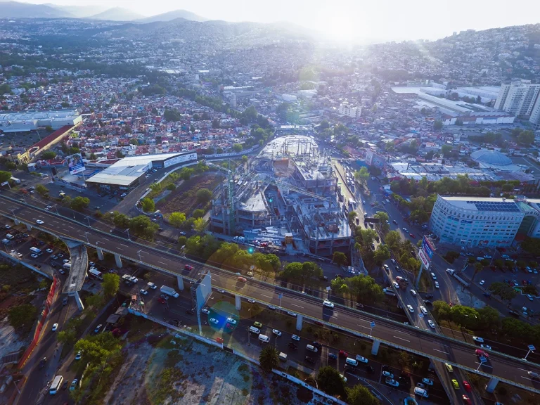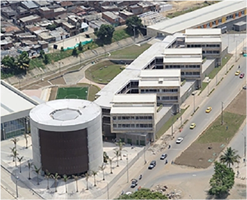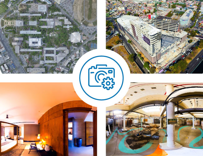


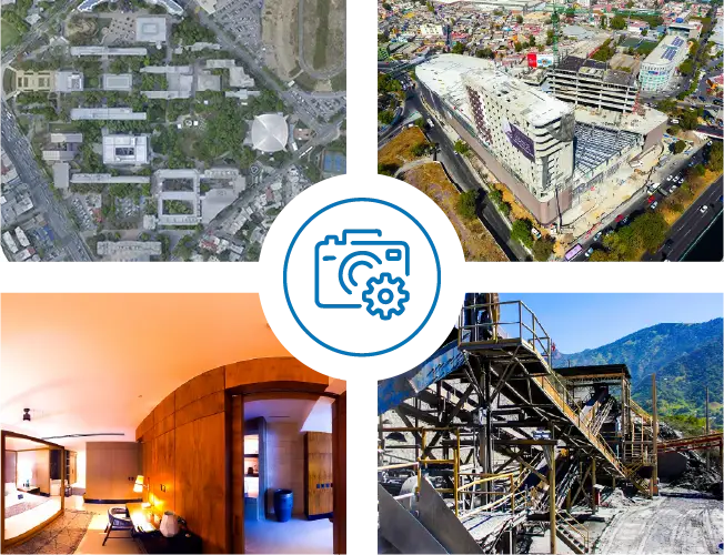
Aerial Photography
The use of drones in construction goes beyond capturing shots from previously inaccessible locations.
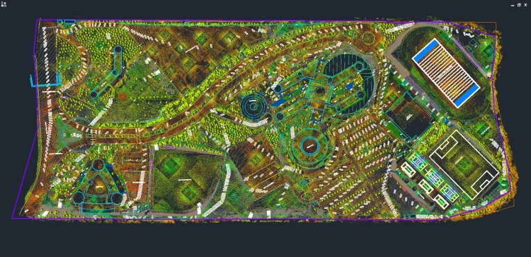
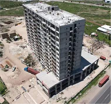
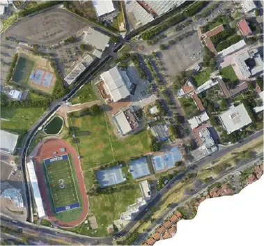
Digital Photogrammetry
This technique aims to study and accurately define the shape, dimensions, and spatial position of an object, using measurements taken from photographs.
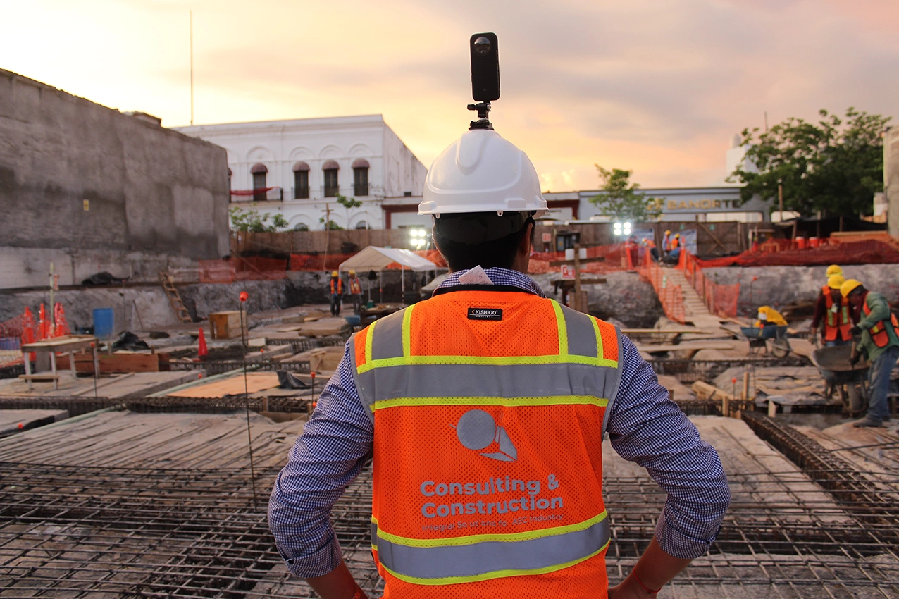
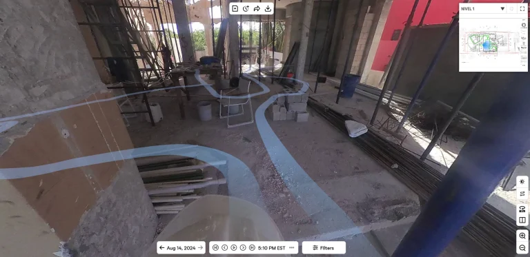
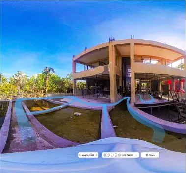
360° Photography
An advanced solution that employs 360 cameras and a digital platform to document environments, ideal for inspections, presentations, and marketing with detailed and immersive visual information.