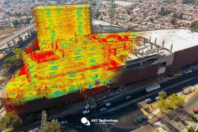
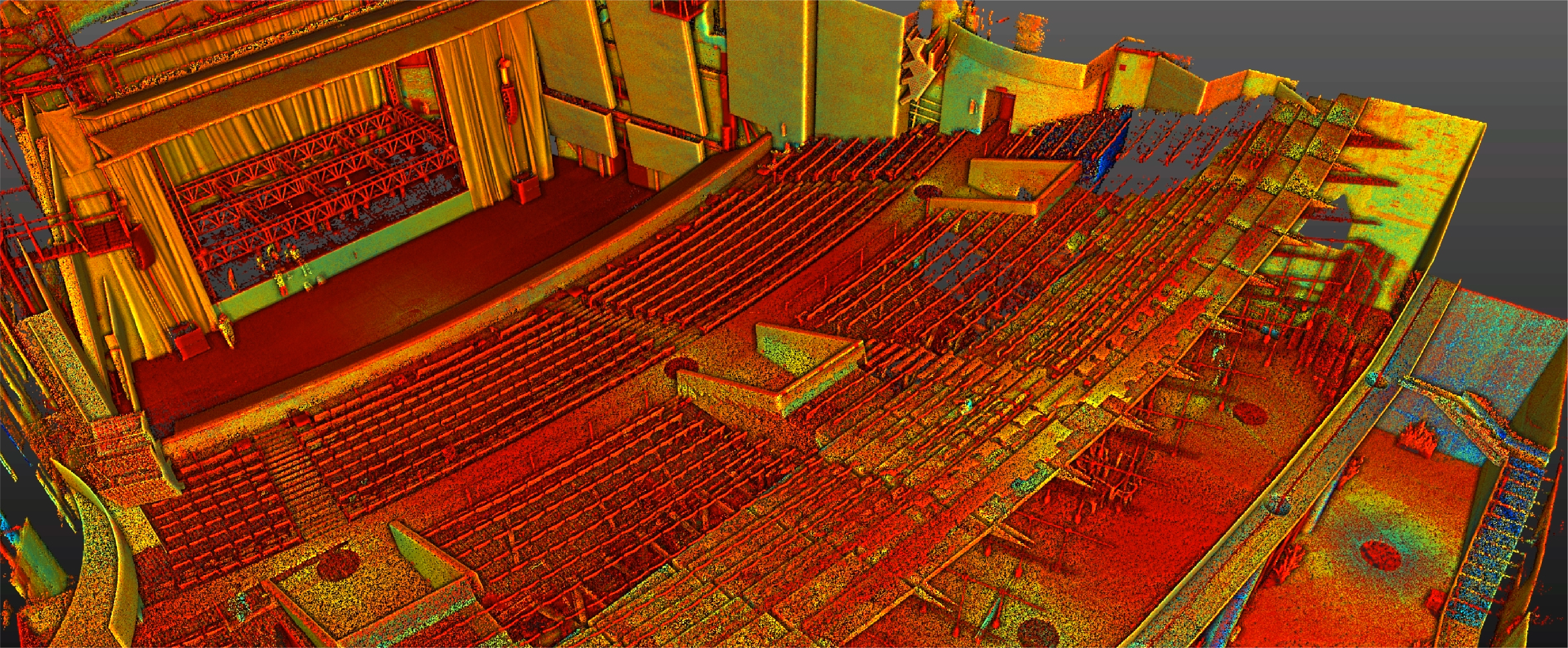
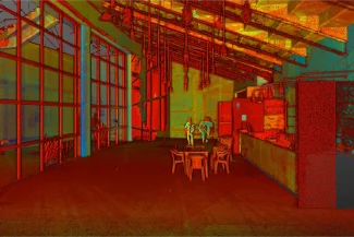
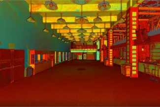
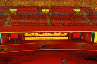
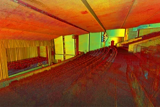
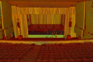
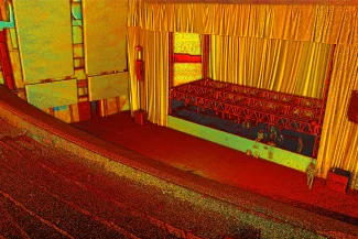
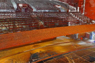
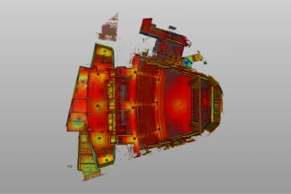
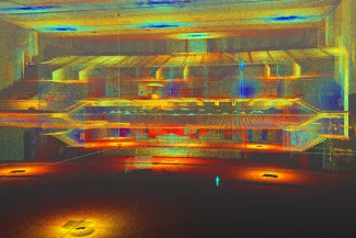
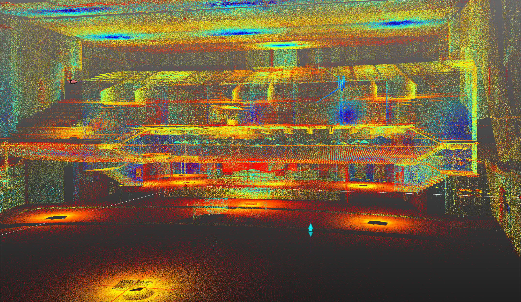
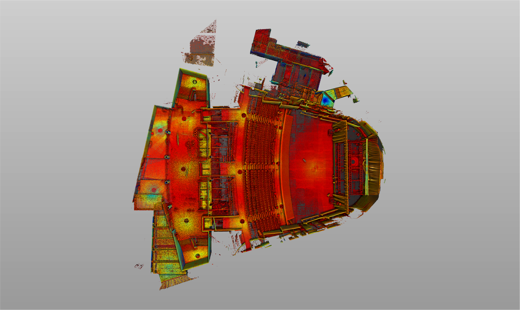
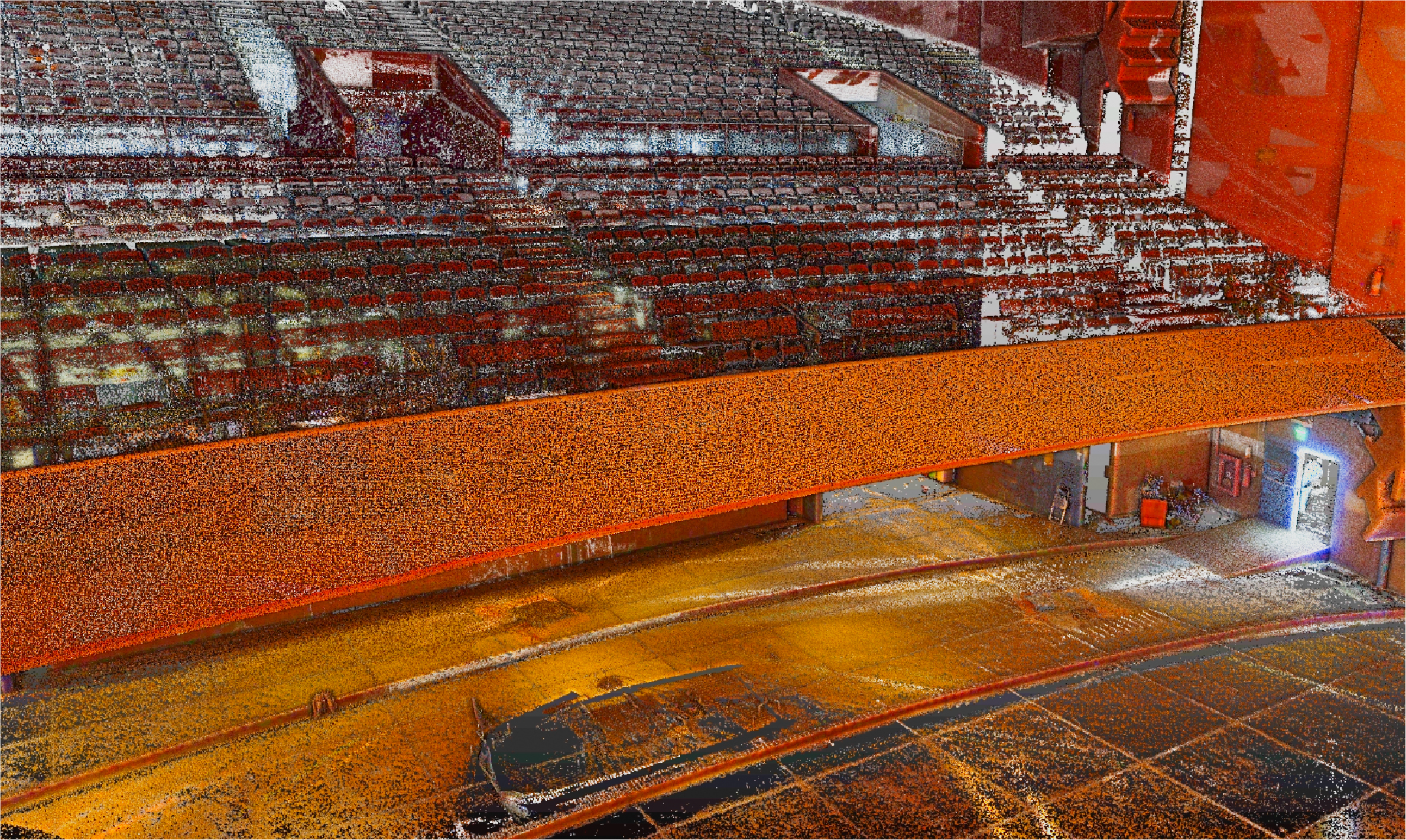
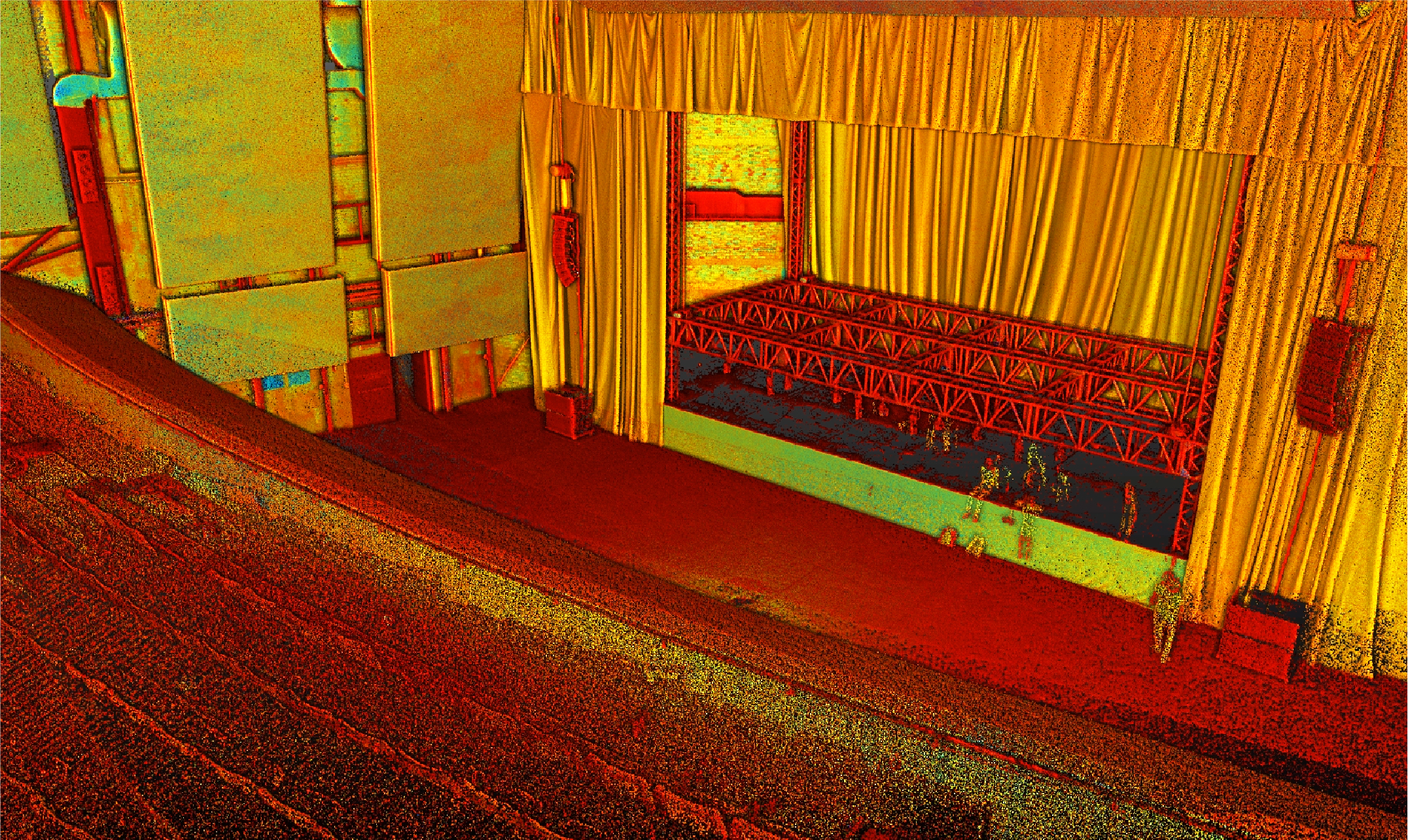
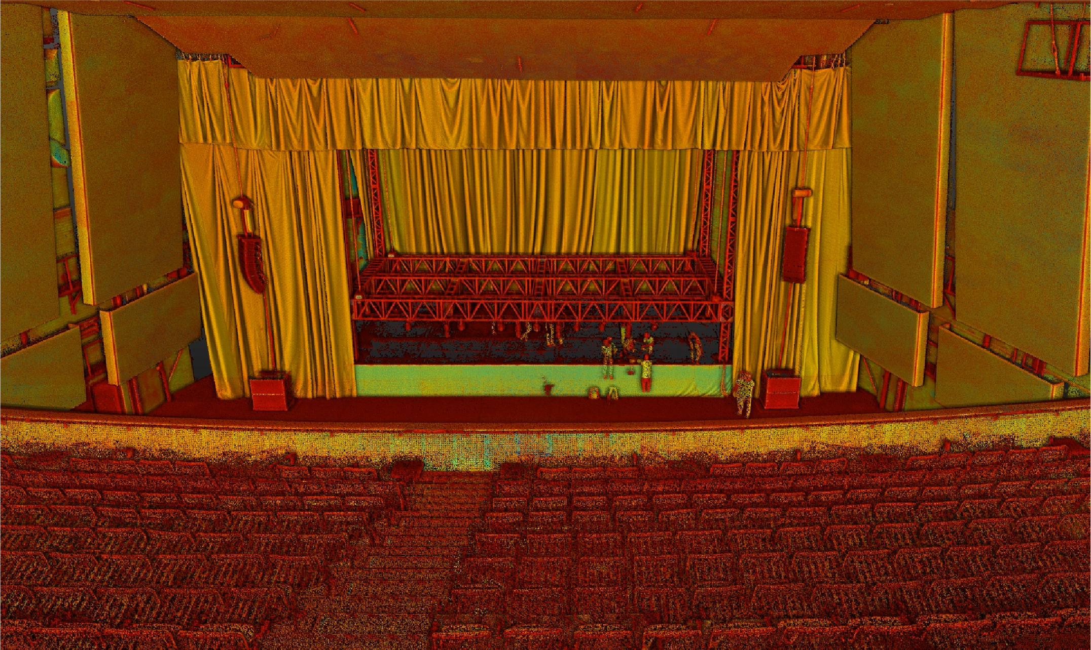
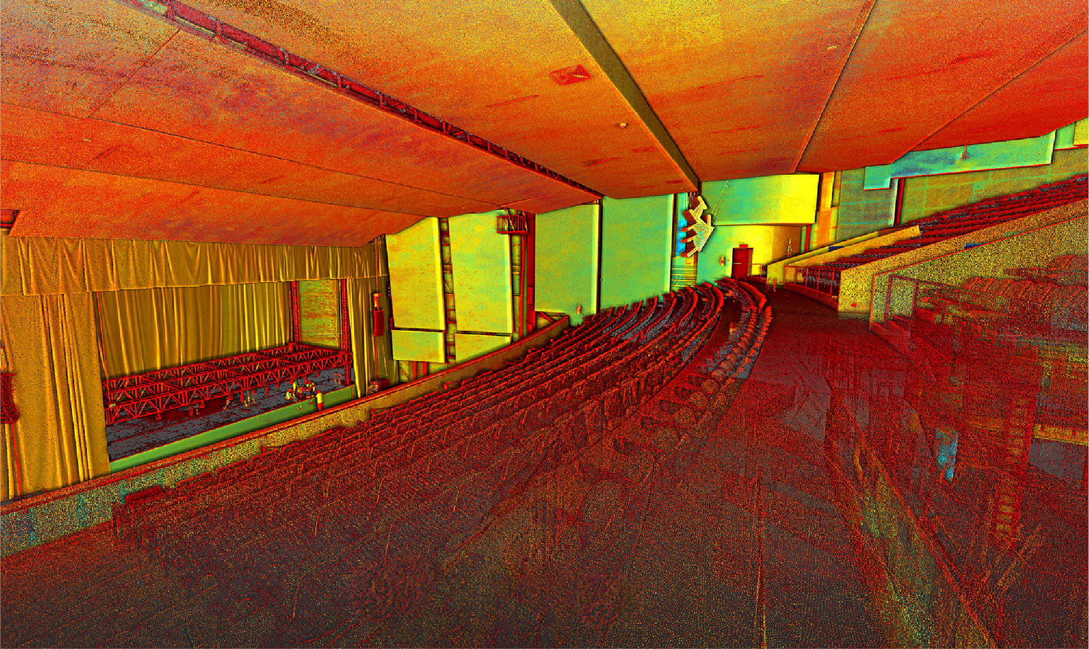
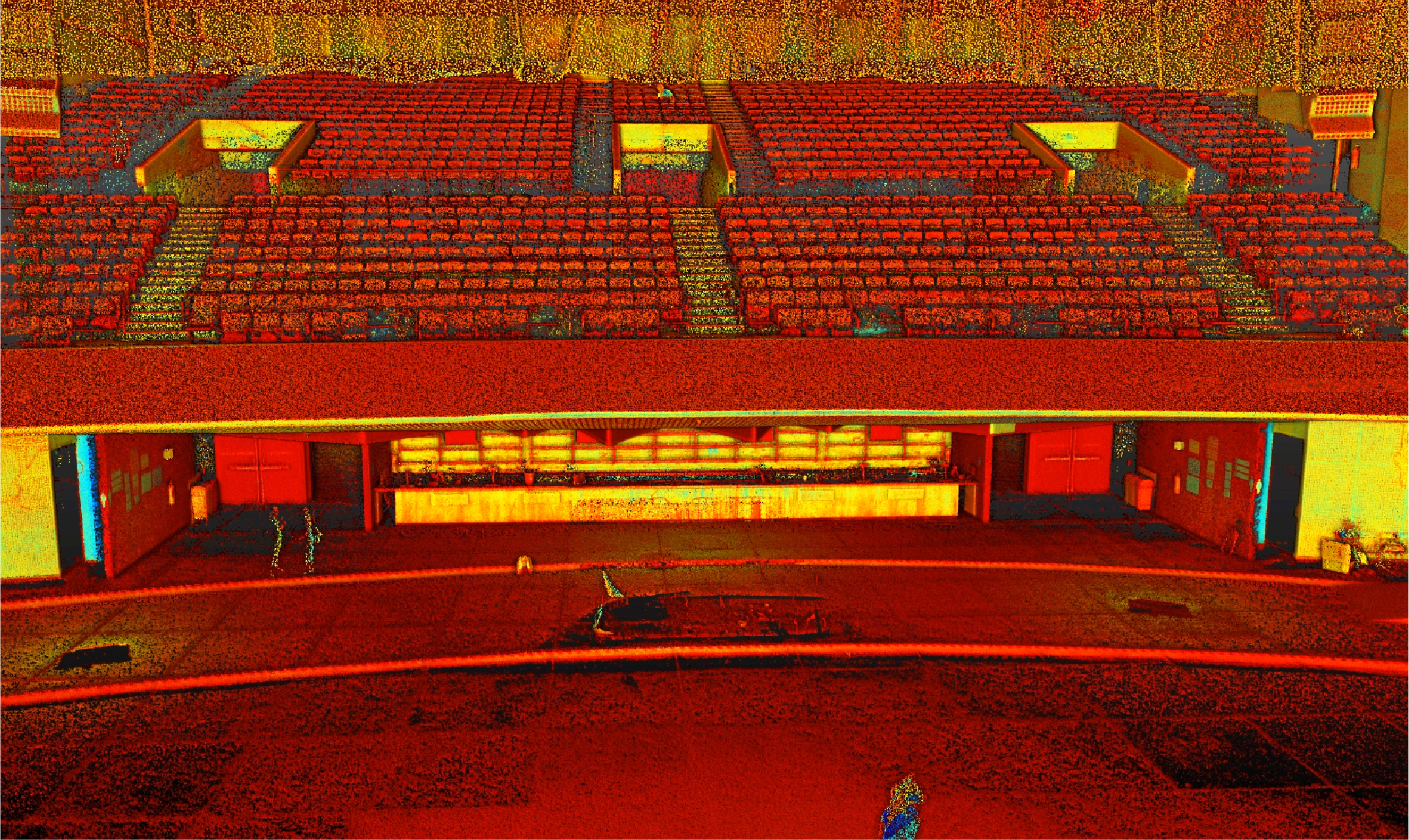
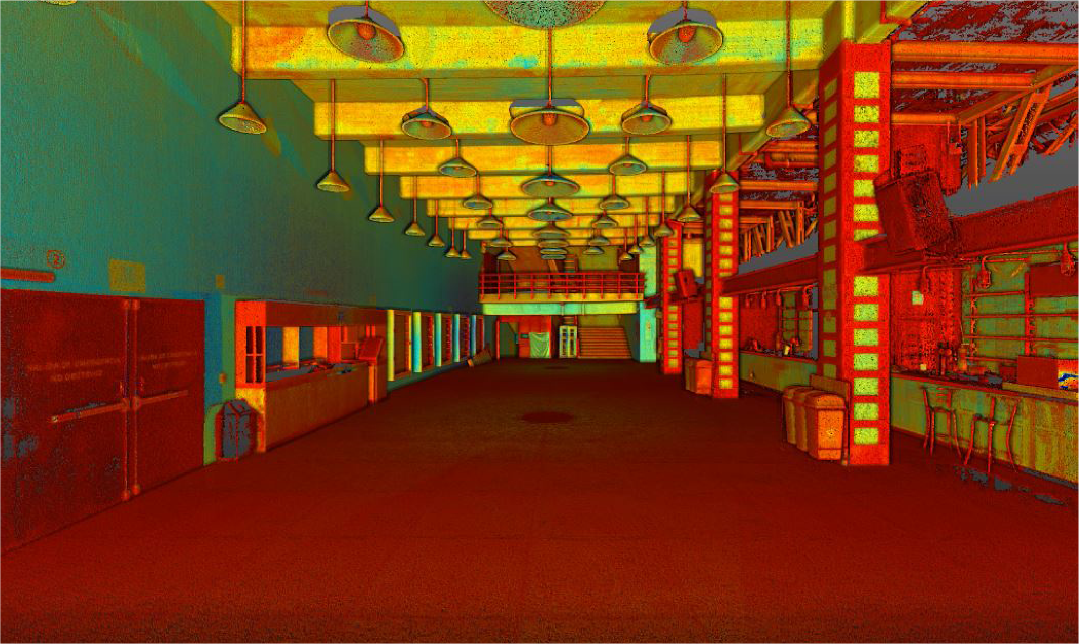
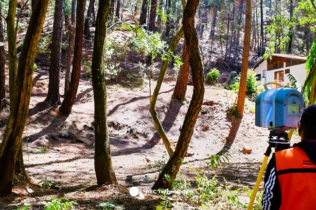
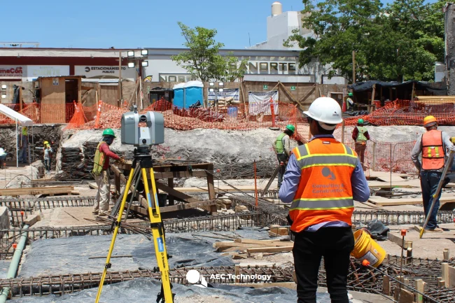
A point cloud survey was conducted using terrestrial laser scanning to plan and adapt a venue for an International Conference. This process provided precise documentation that ensured efficient space management and an optimal layout for the event.
Client:
Congreso
CITI AEC
Location:
Ciudad de México,
México
Year:
2019
Reality capture
TERRESTRIAL
LASER SCANNING
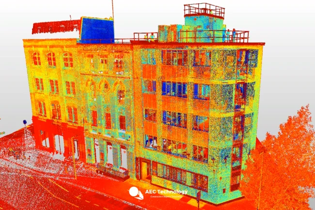
The terrestrial laser scanning generated an accurate point cloud, documenting the structural and spatial characteristics of the venue. These data were essential for planning the space layout and meeting the requirements of the International Conference.
A point cloud survey was conducted using terrestrial laser scanning to plan and adapt a venue for an International Conference. This process provided precise documentation that ensured efficient space management and an optimal layout for the event.
Reality capture
Terrestrial Laser Scanning
The terrestrial laser scanning generated an accurate point cloud, documenting the structural and spatial characteristics of the venue. These data were essential for planning the space layout and meeting the requirements of the International Conference.