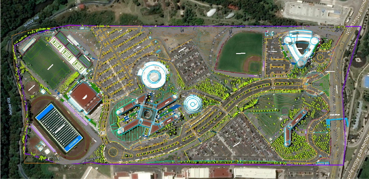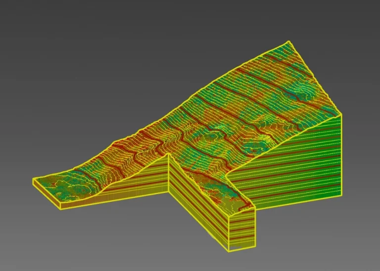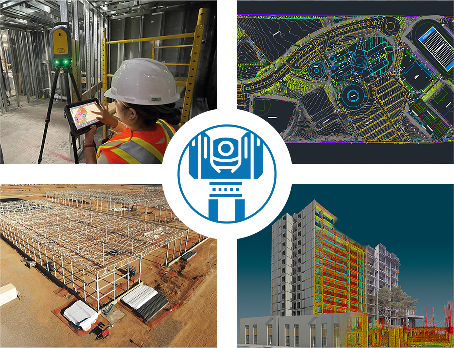
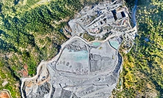


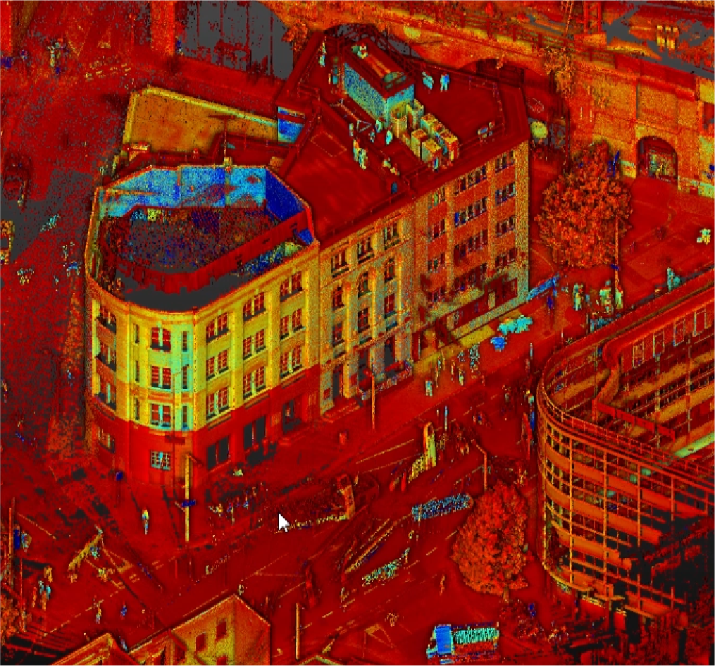
3D Laser Scanning
We use LiDAR technology to create high-resolution 3D models, capturing accurate data on structures and large areas through terrestrial and aerial scanners, ideal for project planning and management.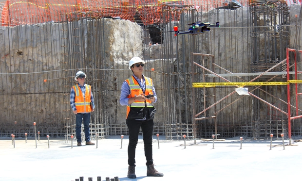
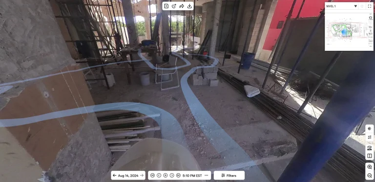
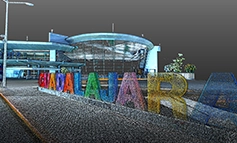
Digital Photography
We capture precise images from multiple perspectives to enhance project planning, with 3D Photogrammetry services, Aerial Photography with drones, and 360° Photography for immersive visualizations..