In this project, a point cloud survey was carried out using terrestrial laser scanning, complemented by the implementation of a BIM strategy for the corporate Architecture Division.
Thanks to this combination of technologies, the cinemas were accurately documented and a solid foundation was established to manage new projects more efficiently and with greater control.
Client:
Cinépolis
Location::
Ciudad de México,
México
Year:
2019
REALITY
CAPTURE
DIGITAL
MODELS
TERRESTRIAL
LASER SCANNING
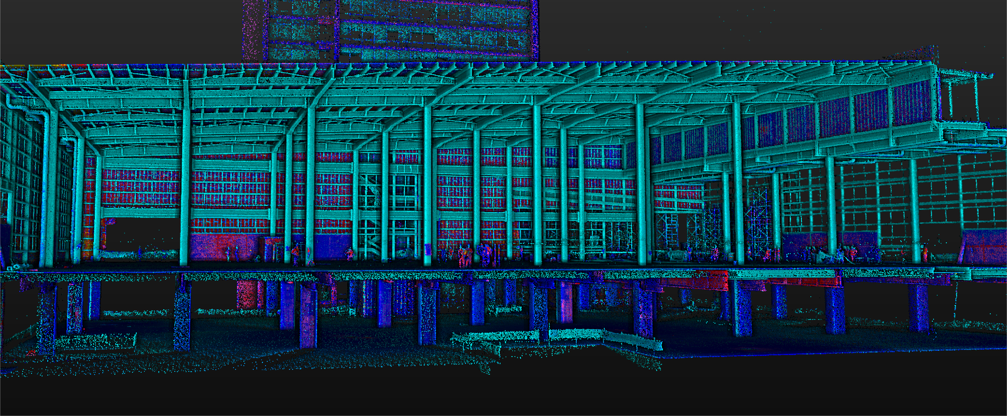
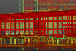
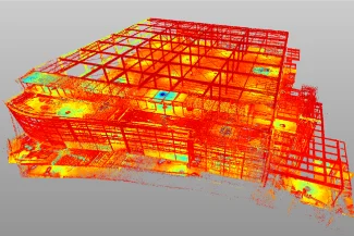
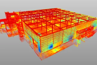
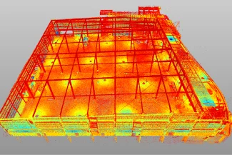
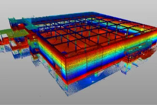
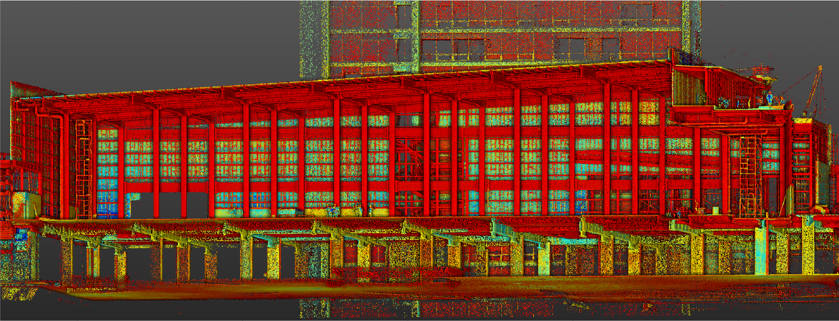
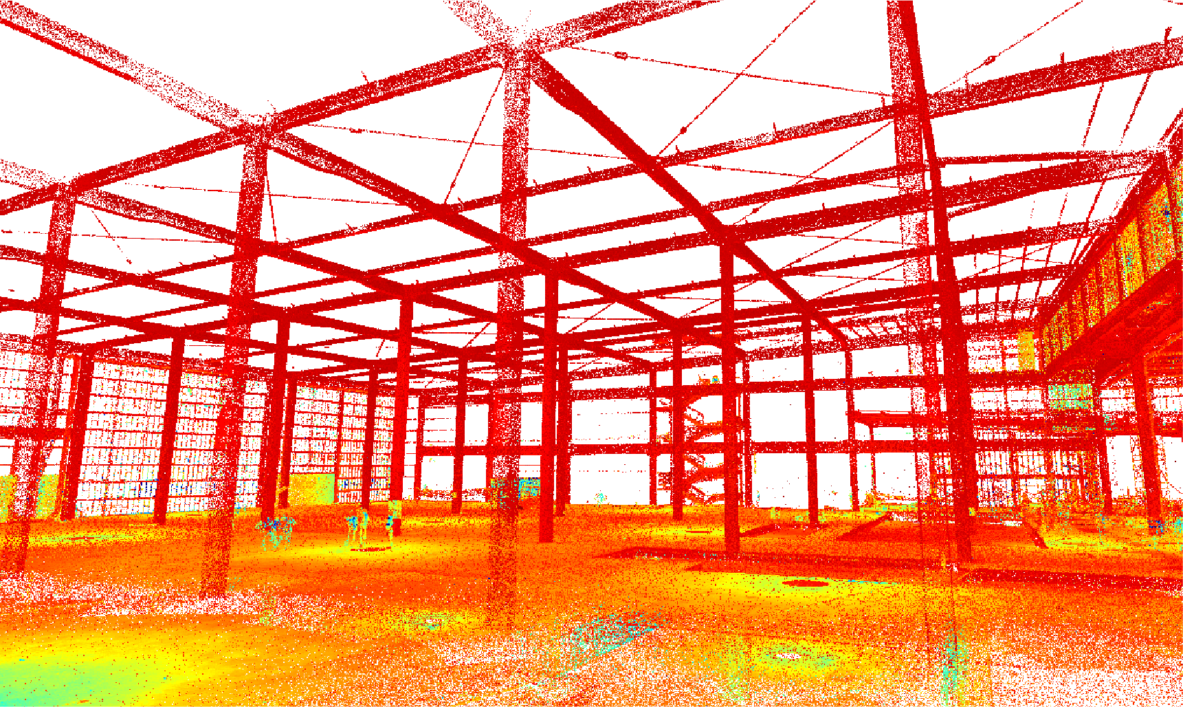
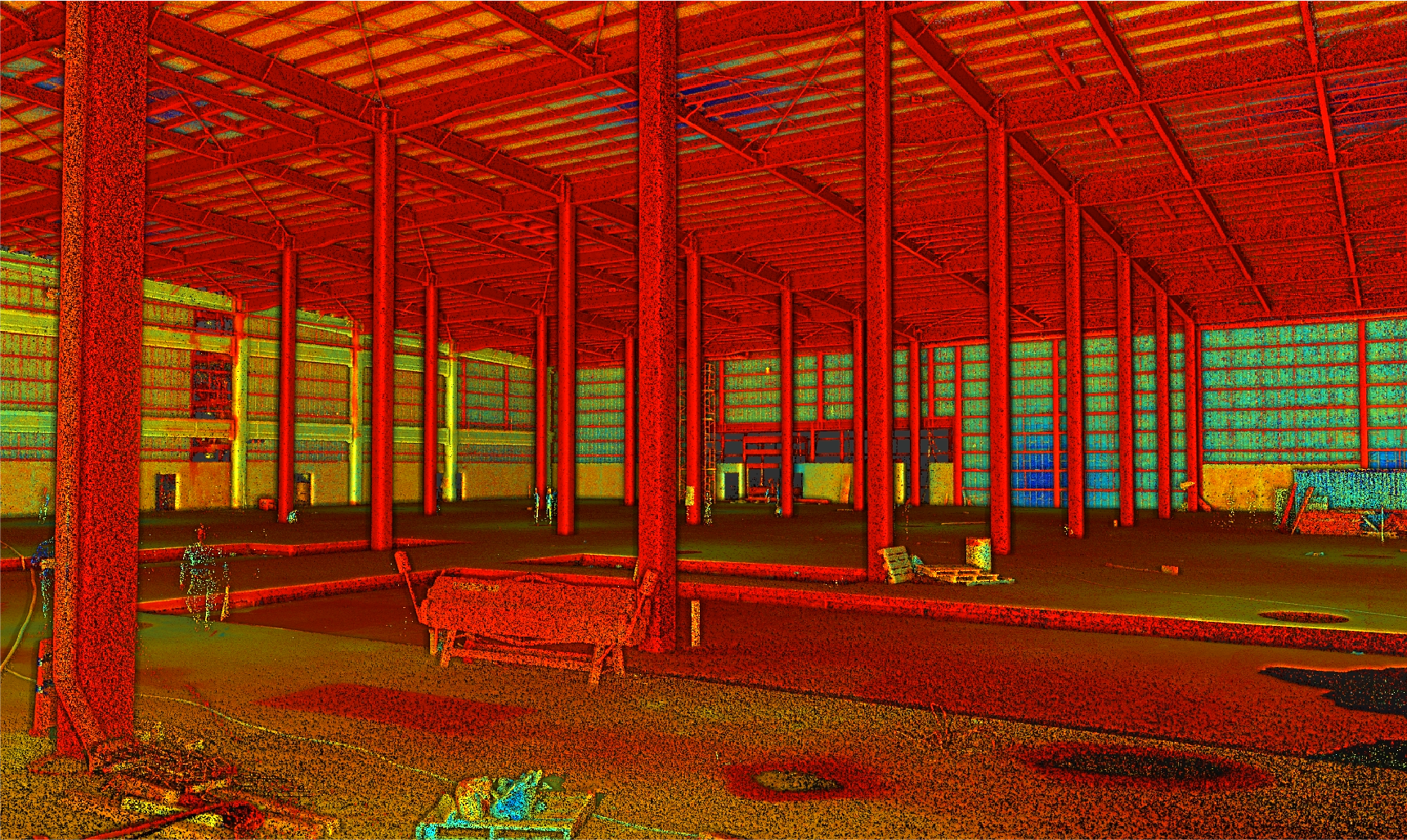
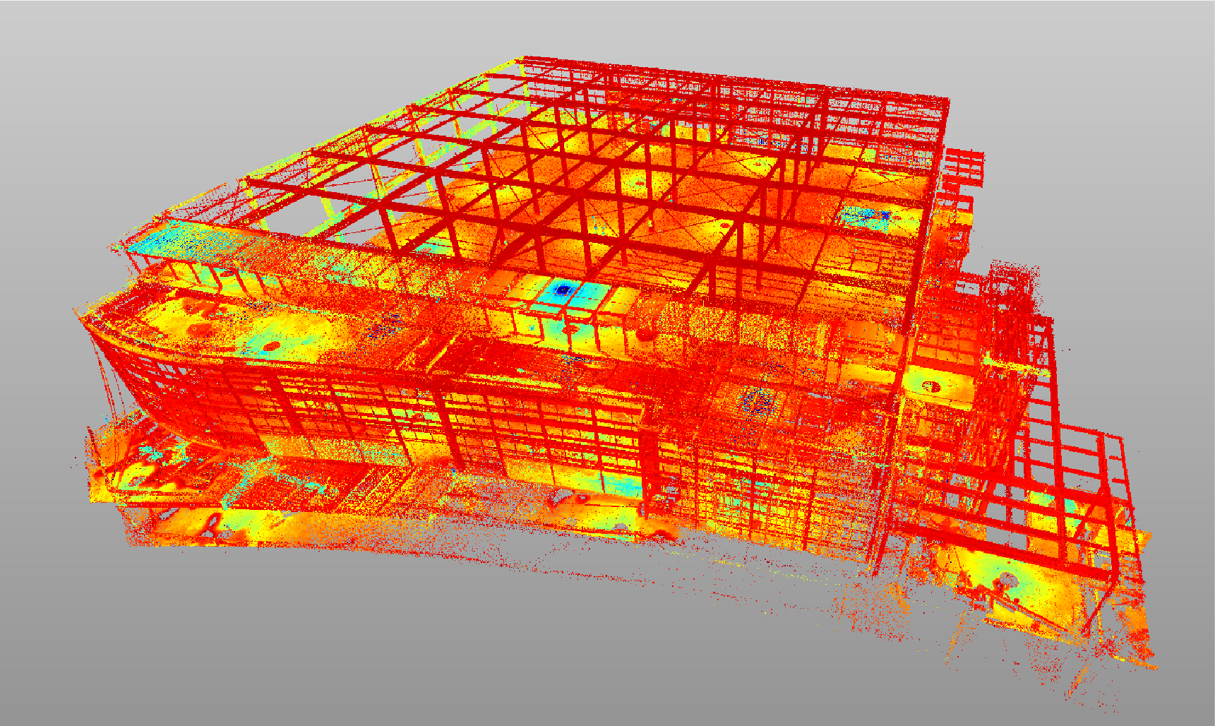
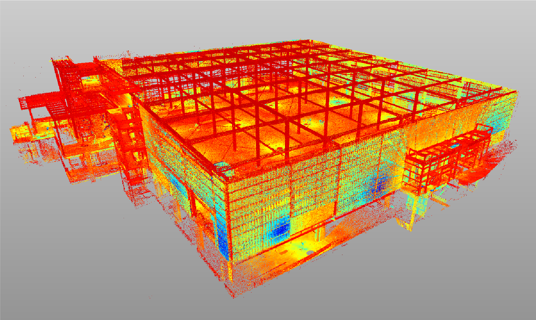
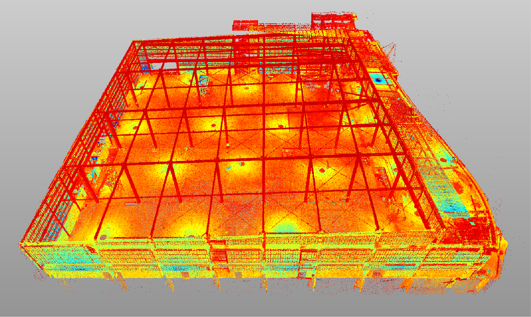
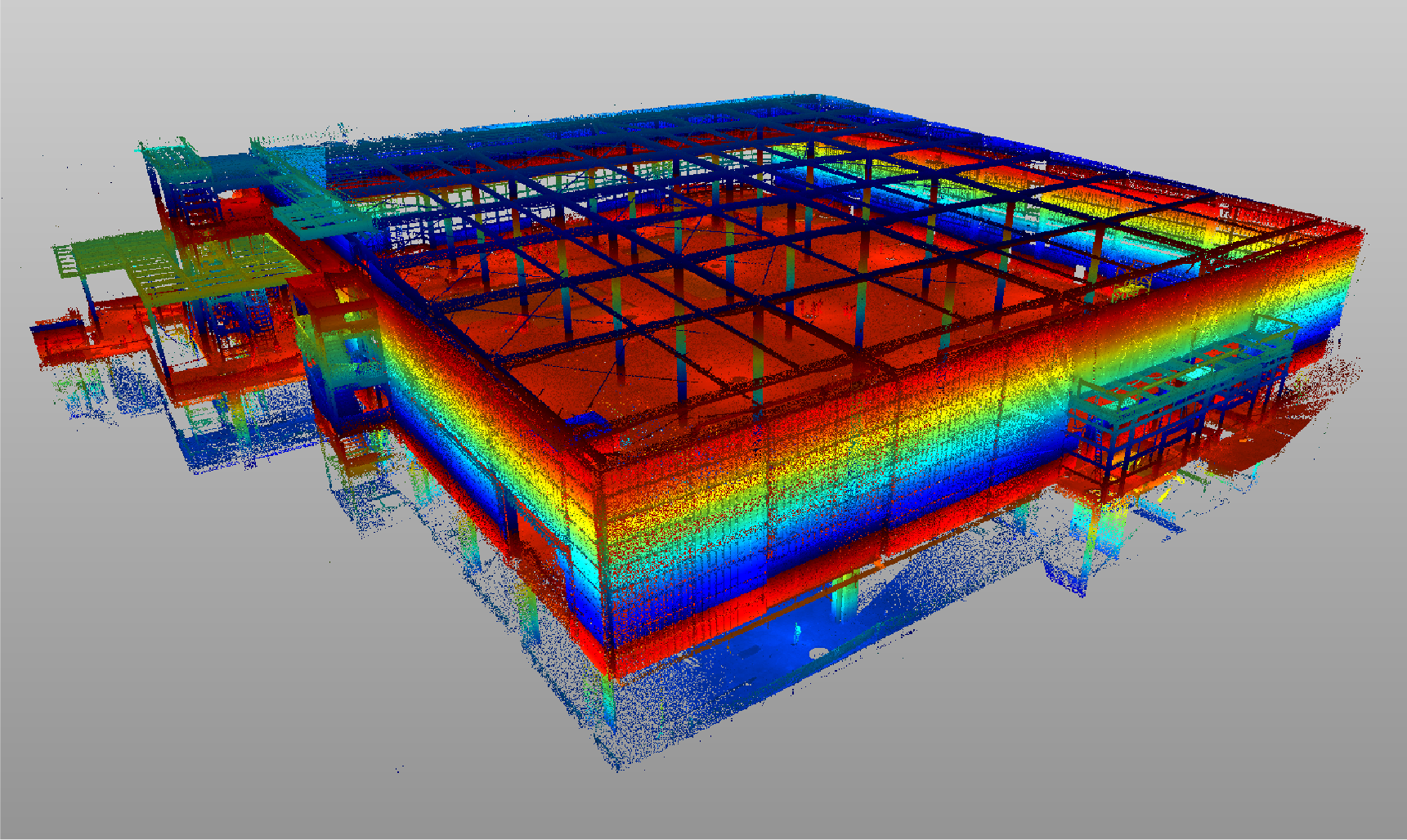
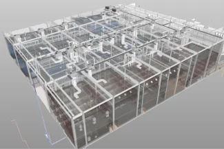
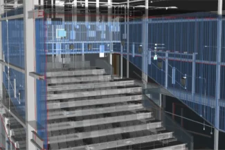
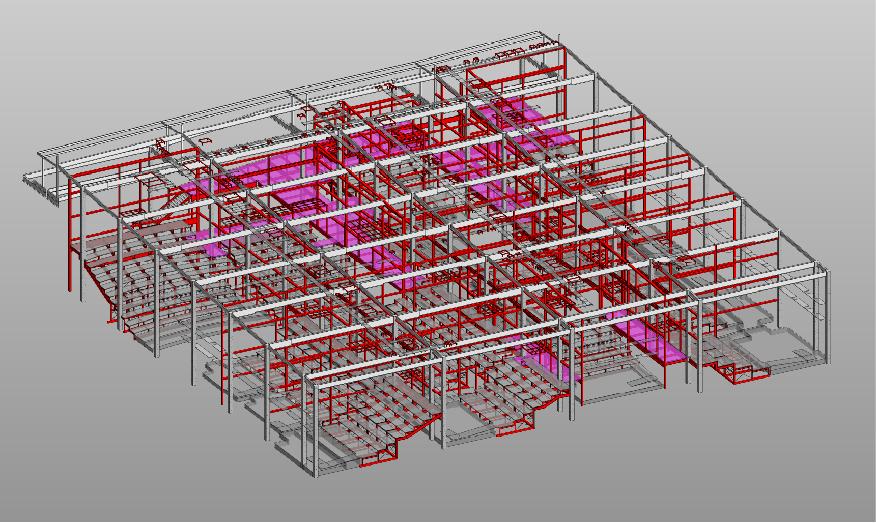
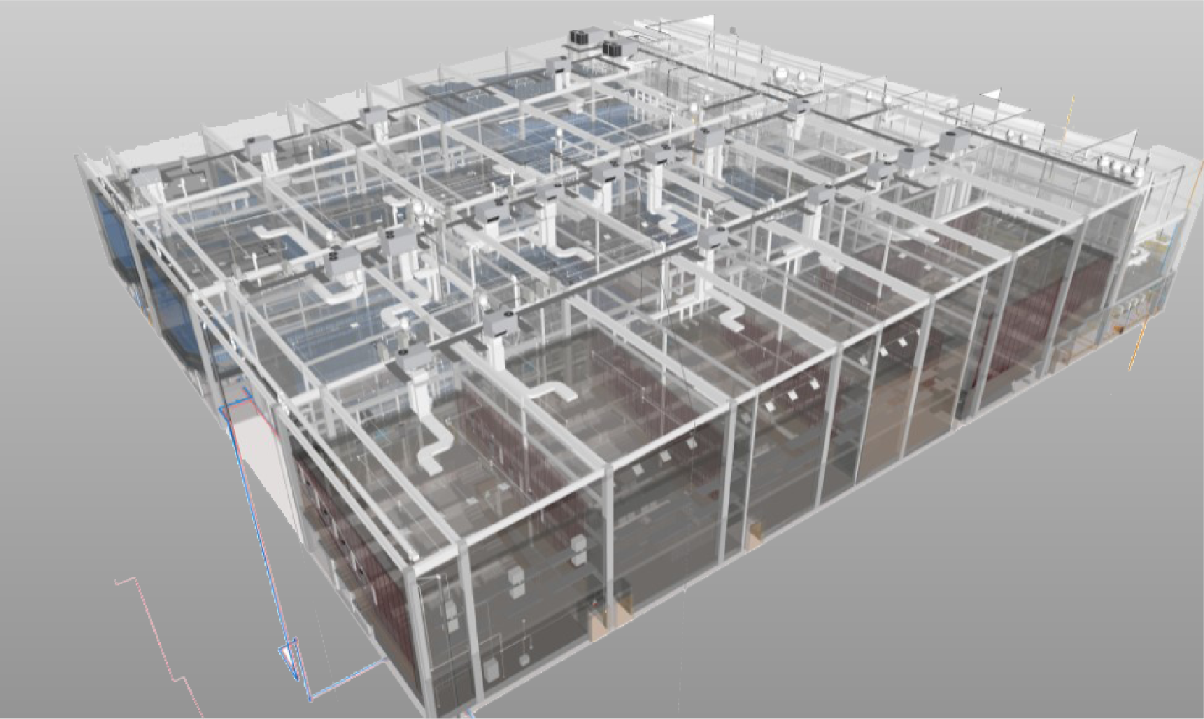
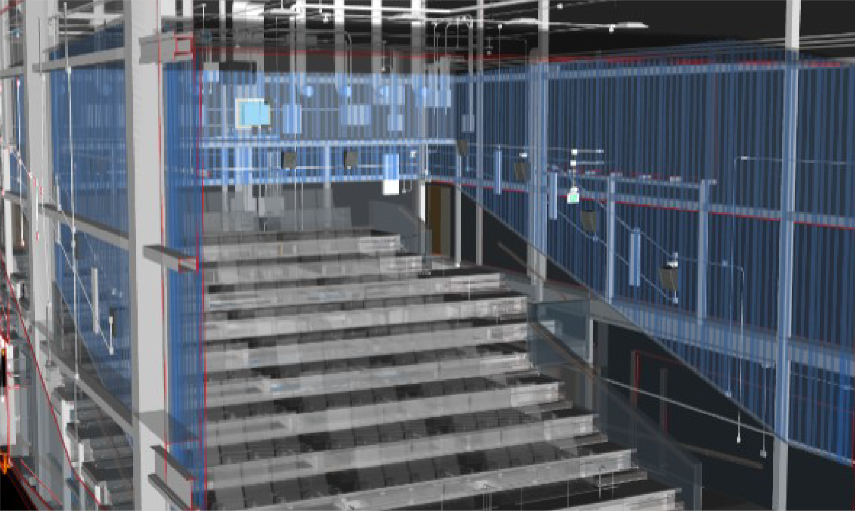
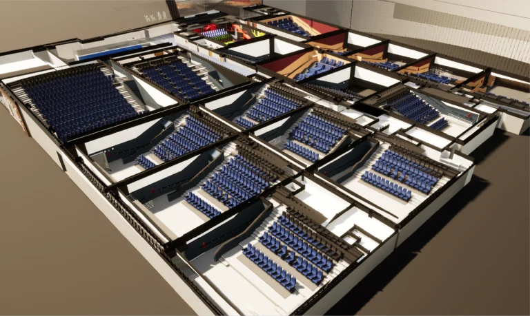
The terrestrial laser scanning generated a detailed point cloud that documented the architectural and structural characteristics of the cinemas. The obtained data ensured accuracy in the analysis and served as a basis for the development of BIM models.
BIM (Building Information
Modeling)
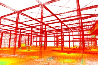
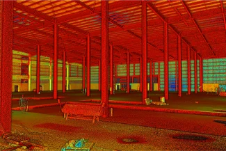
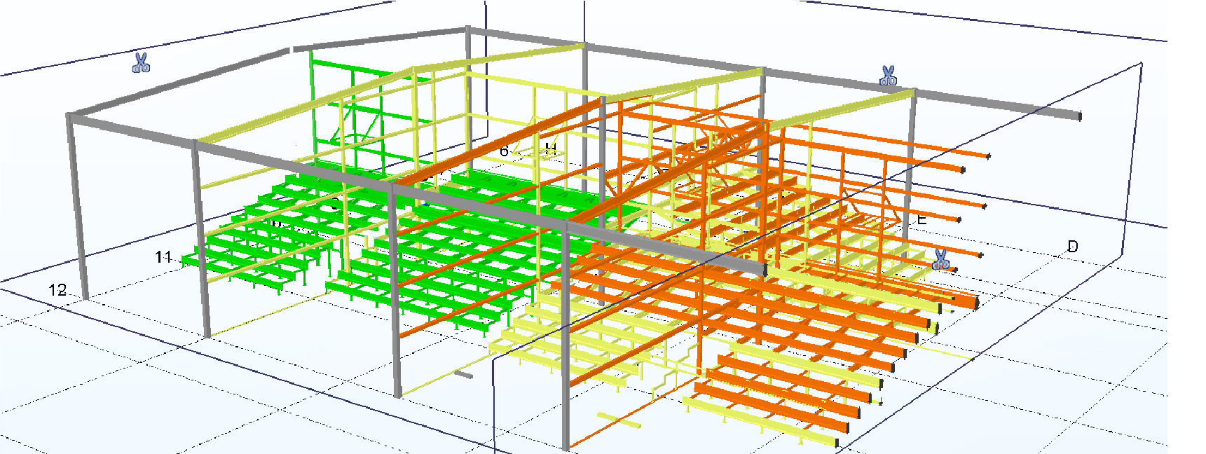
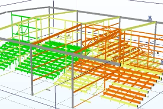
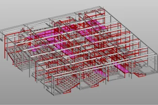
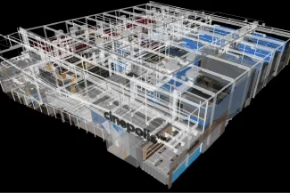
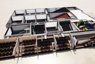
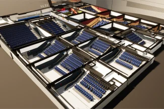
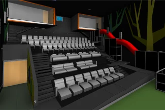
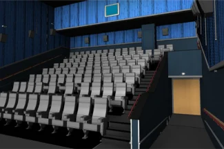
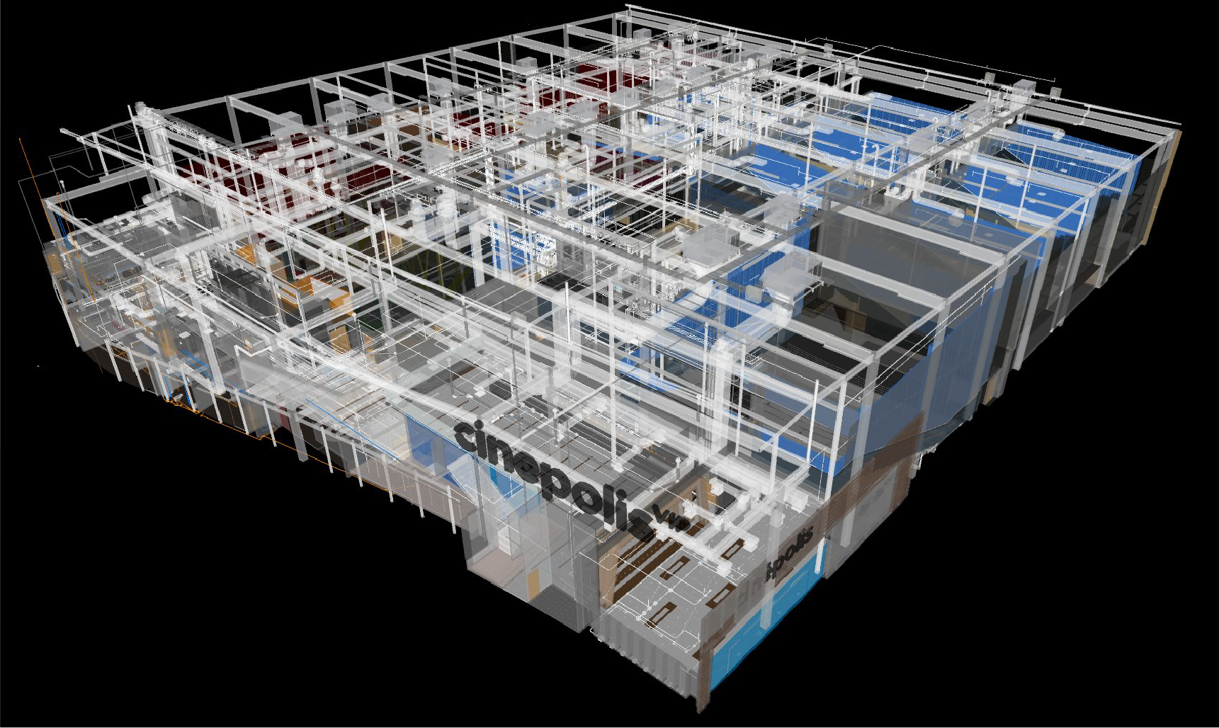
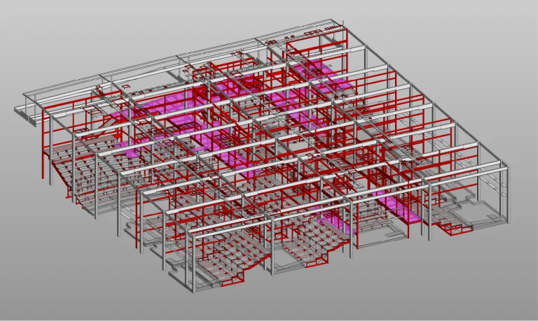
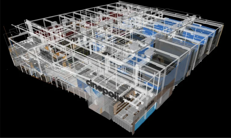
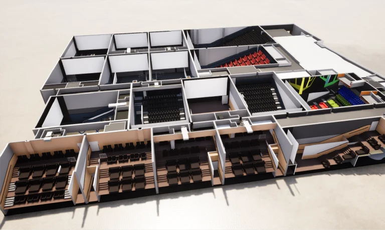
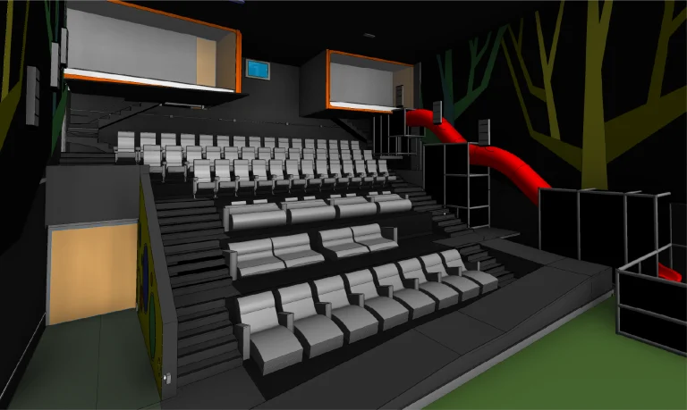
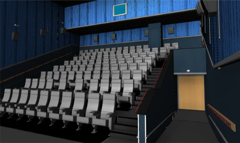
Based on the laser scanning, BIM models were developed to facilitate discipline coordination, optimize design, and support future project planning. This BIM strategy enhanced collaboration and standardized processes within the corporate office.
A point cloud survey was conducted using terrestrial laser scanning, along with the implementation of a BIM strategy for the Architecture Division of the corporate office. This allowed for the precise documentation of the cinemas and established a solid foundation for efficiently managing new projects.
REALITY CAPTURE
Terrestrial Laser Scanning
The terrestrial laser scanning generated a detailed point cloud that documented the architectural and structural characteristics of the cinemas. The obtained data ensured accuracy in the analysis and served as a basis for the development of BIM models.
DIGITAL MODELS
BIM
(Building Information Modeling)
Based on the laser scanning, BIM models were developed to facilitate discipline coordination, optimize design, and support future project planning. This BIM strategy enhanced collaboration and standardized processes within the corporate office.