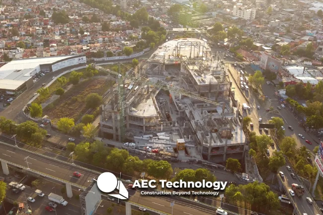
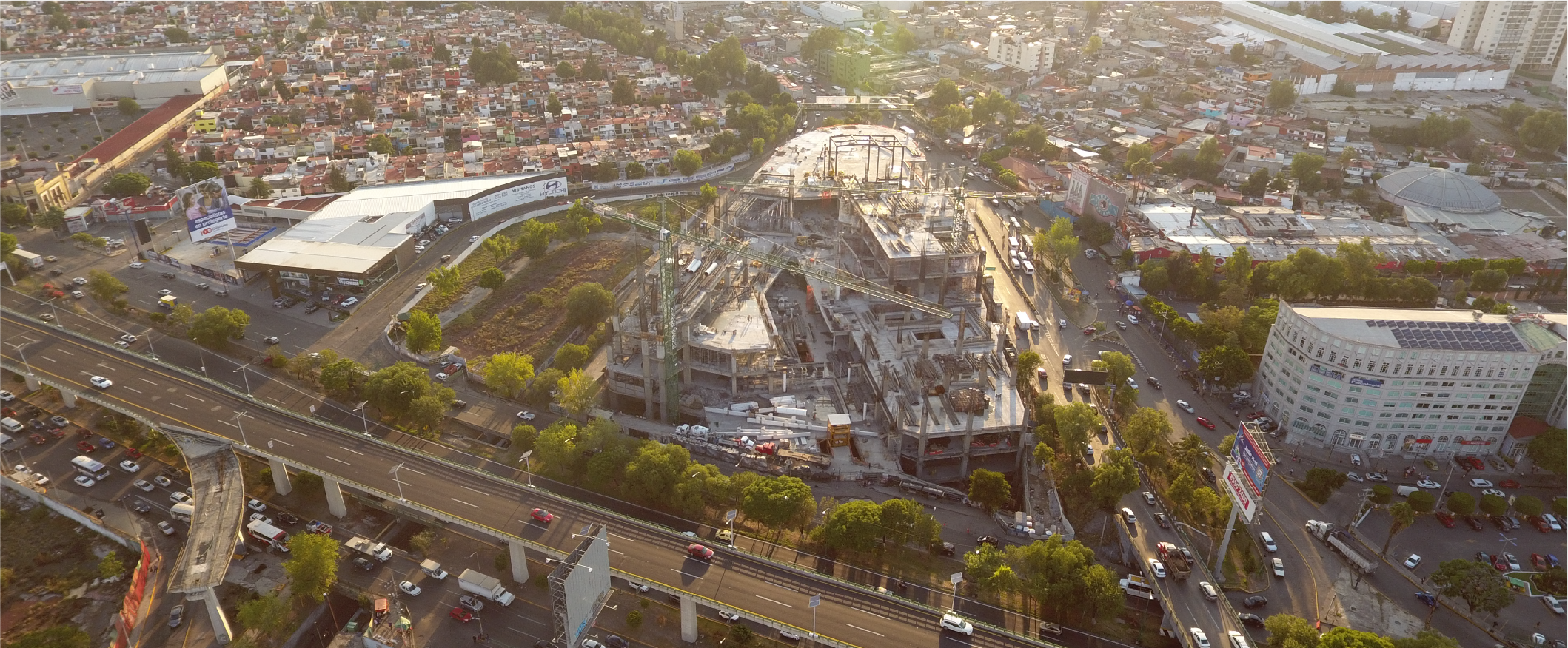
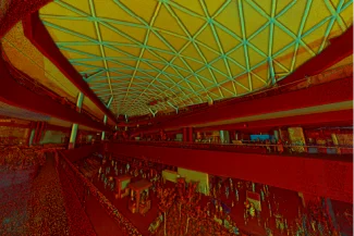
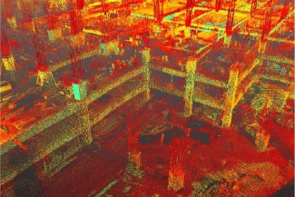
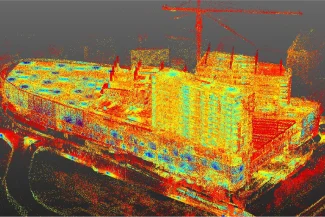
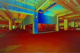
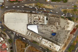
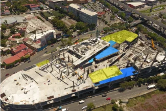
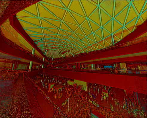
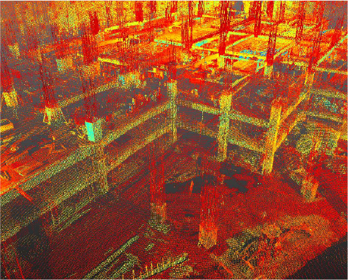
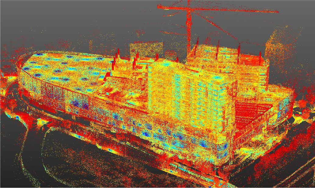
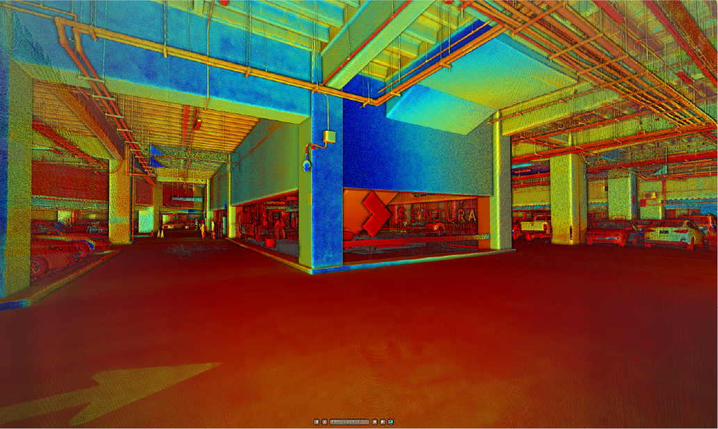
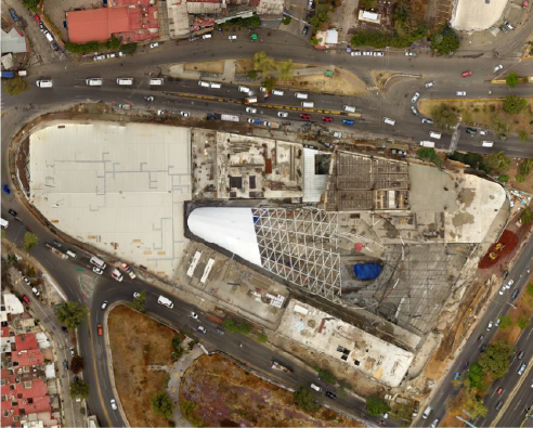
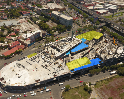
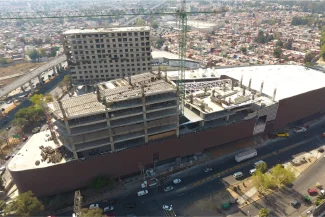
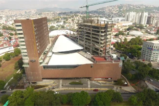
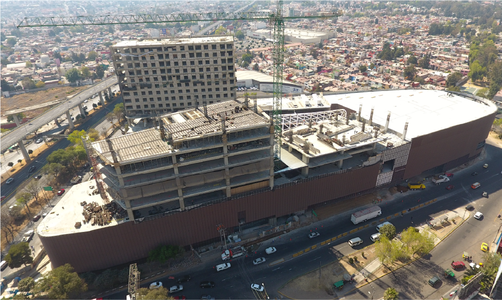
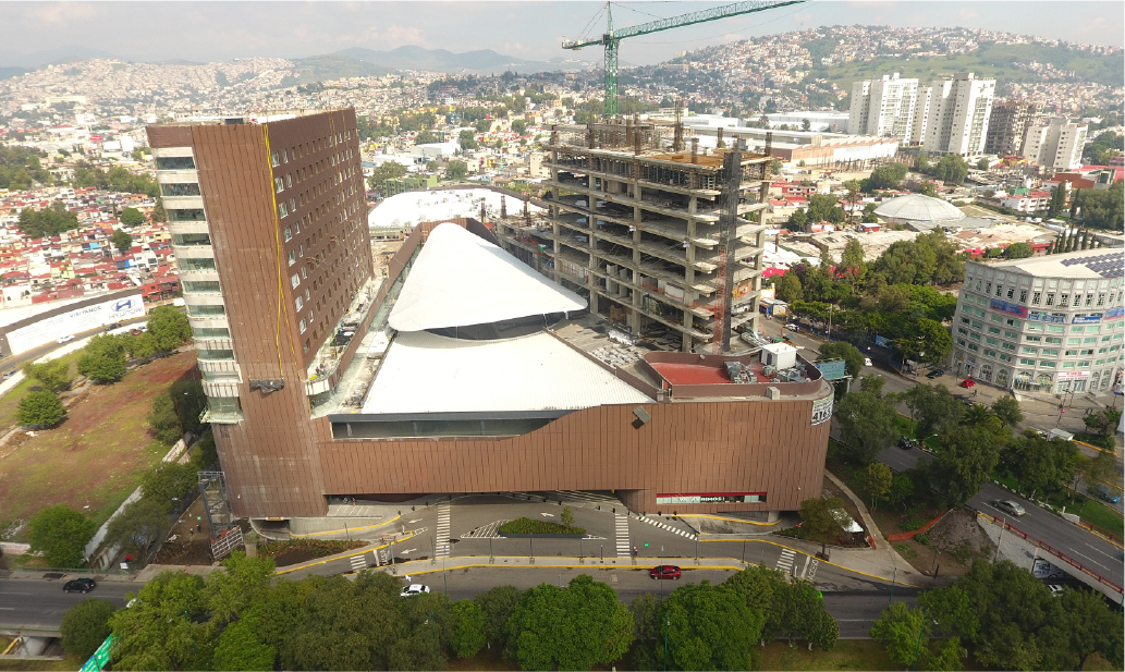
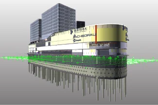
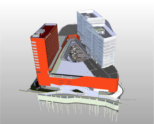
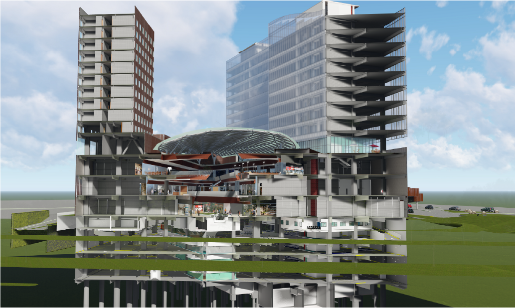
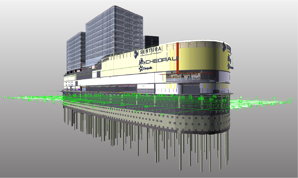
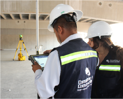
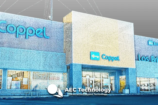
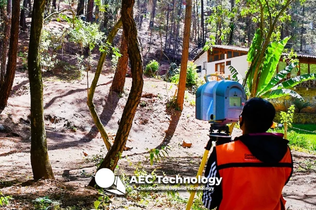
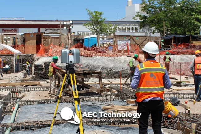
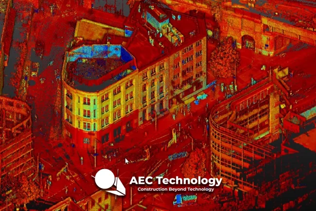
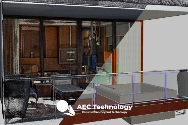
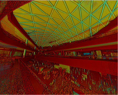
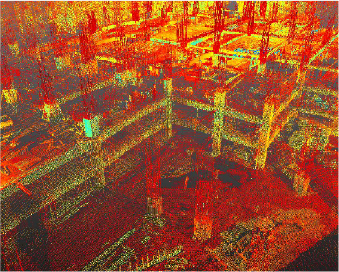
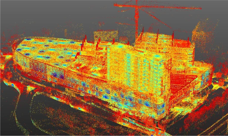
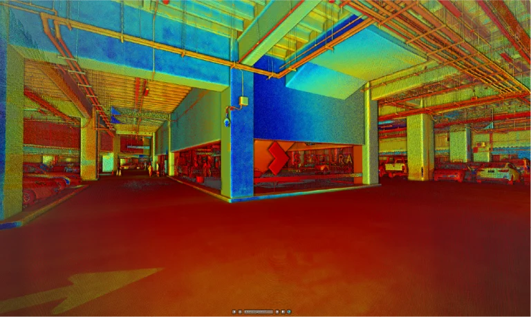
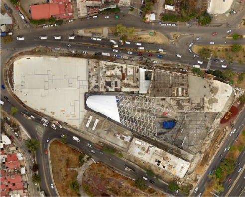
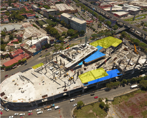
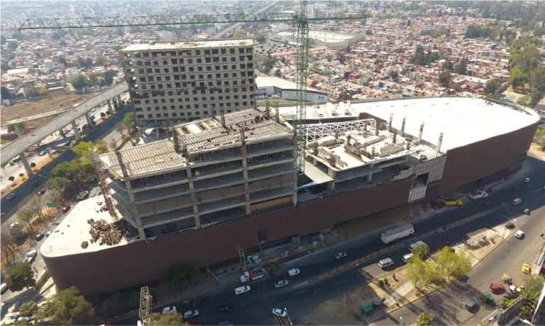
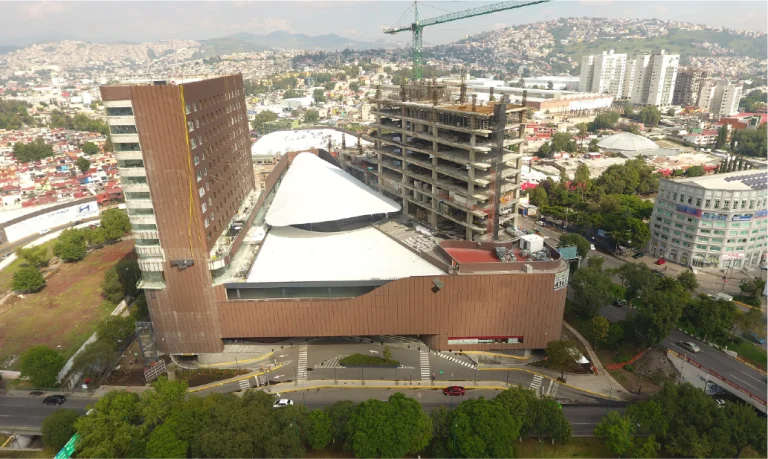
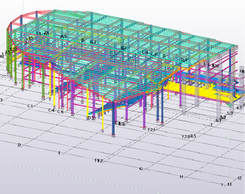
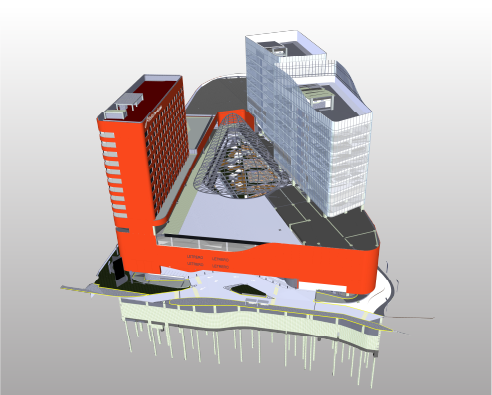
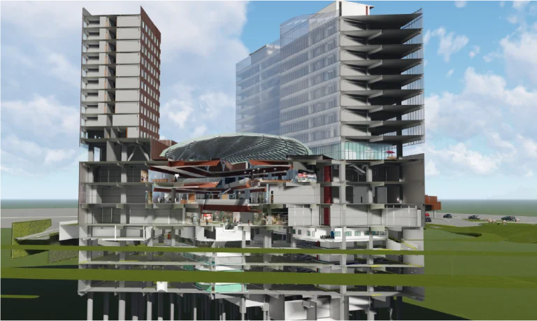
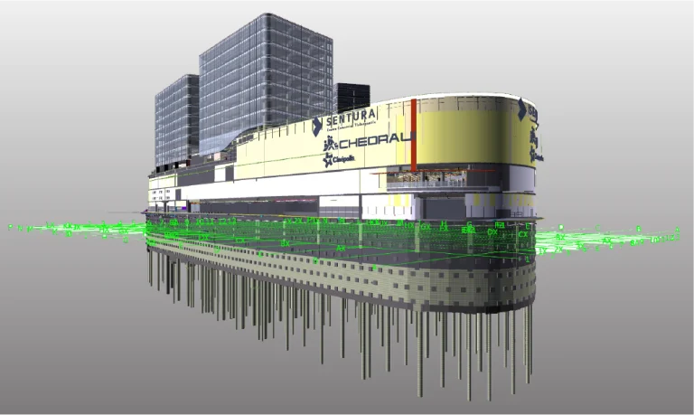
In this project, terrestrial laser scanning and aerial photography were carried out to accurately capture the existing conditions of the construction site.
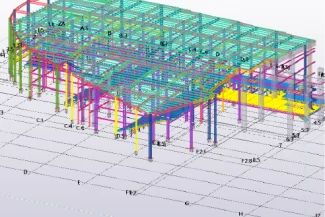
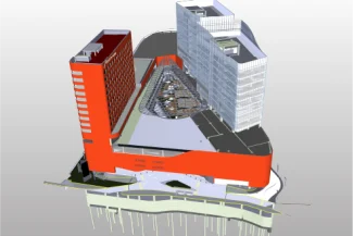
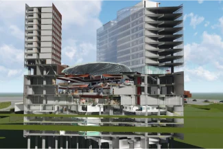
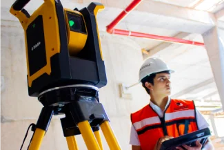
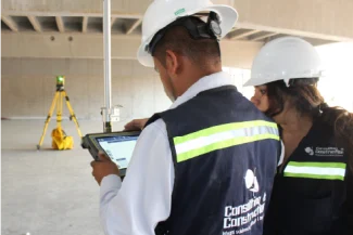
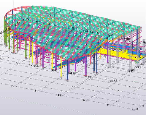
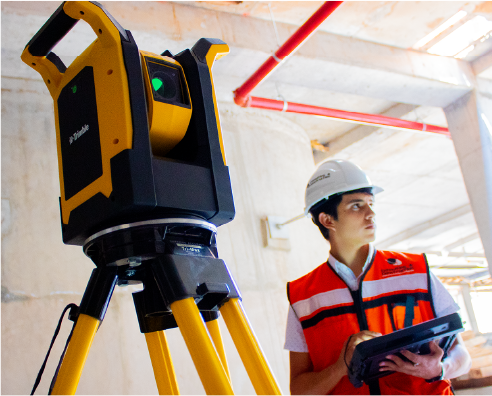
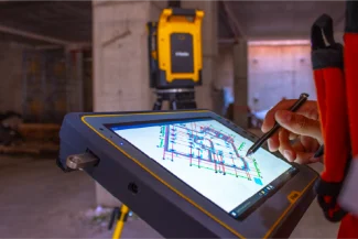
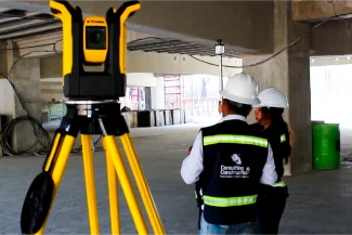
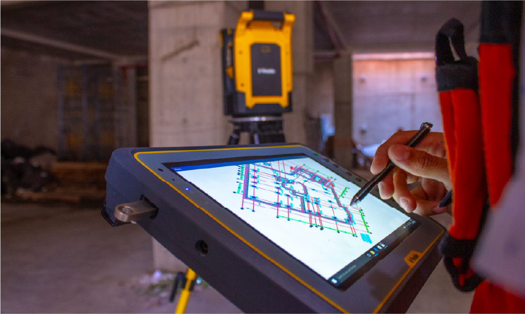
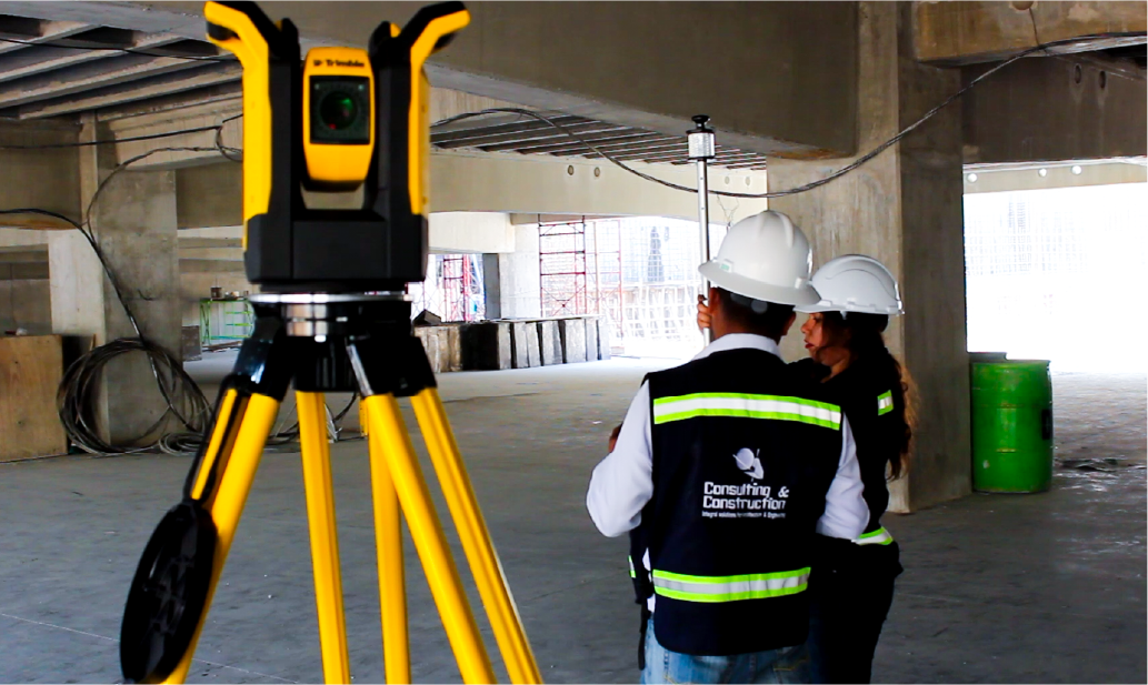
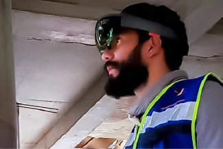
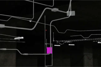
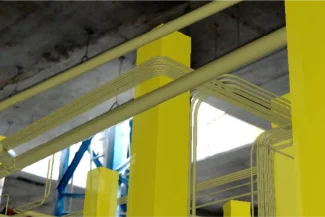
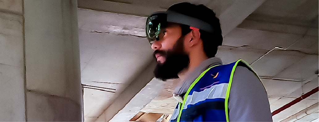
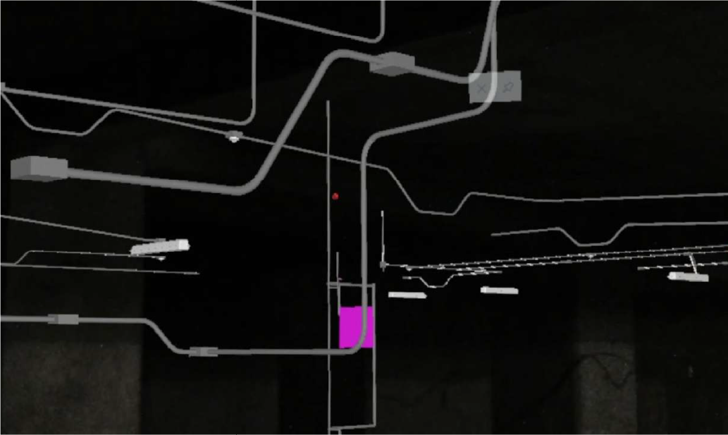
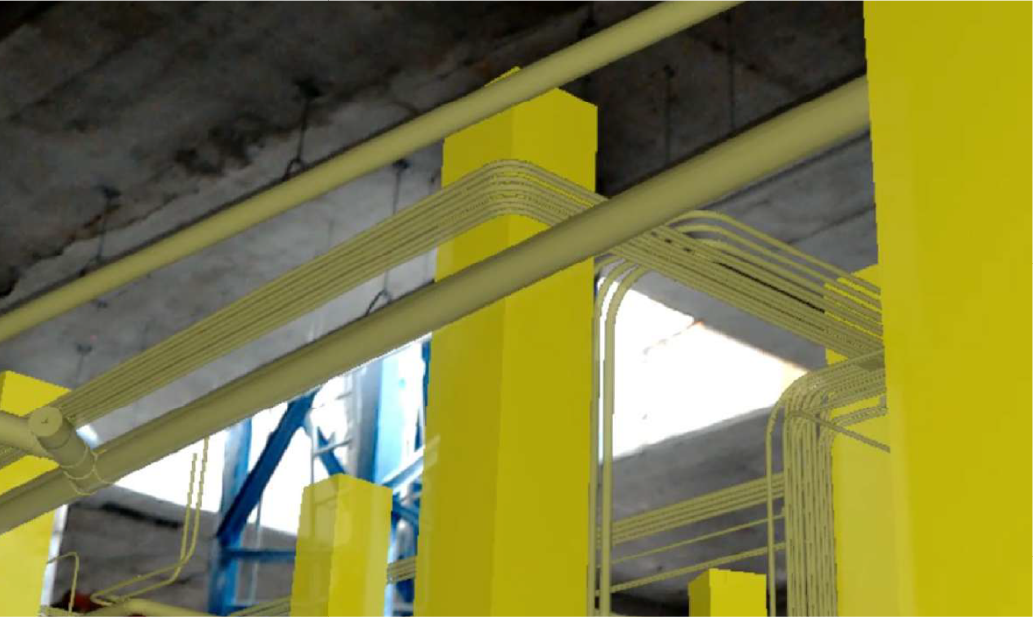
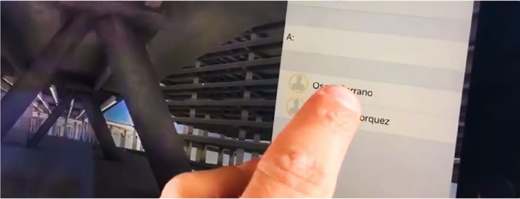
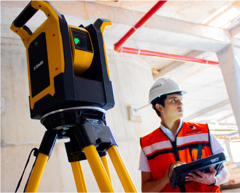
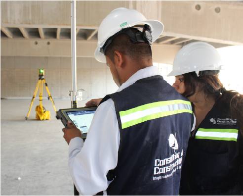
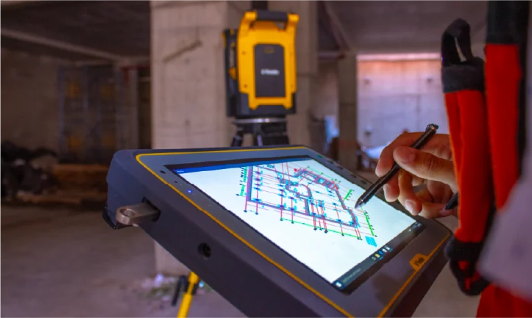
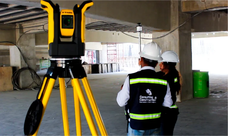
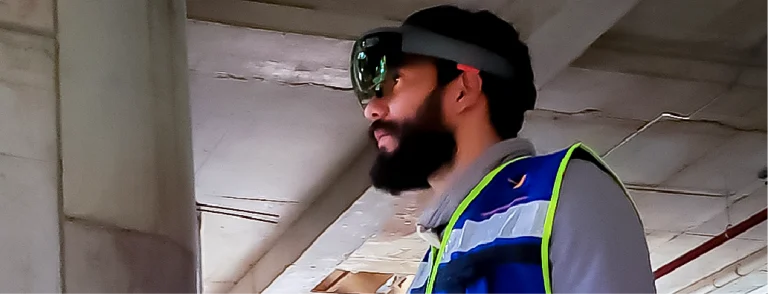
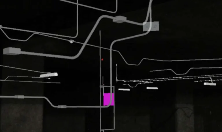
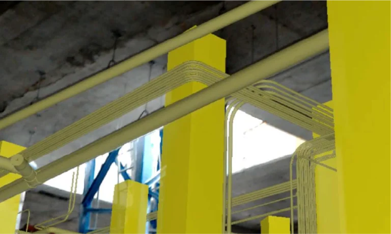
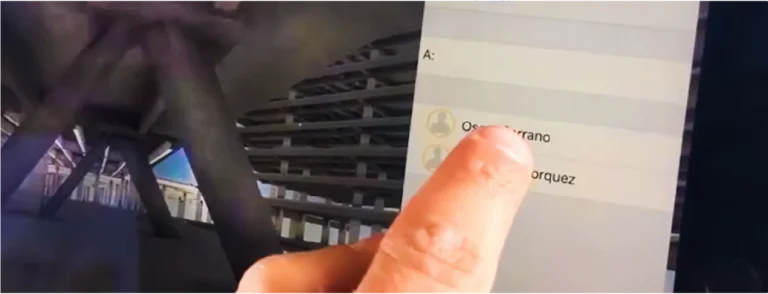
The data was integrated into a BIM model for planning and coordination, complemented by robotic layout with a total station to ensure the exact installation of on-site elements, and mixed reality to visualize and interact with the designs.
All project information was managed within a Common Data Environment (CDE), ensuring efficient collaboration and technical control at every stage.