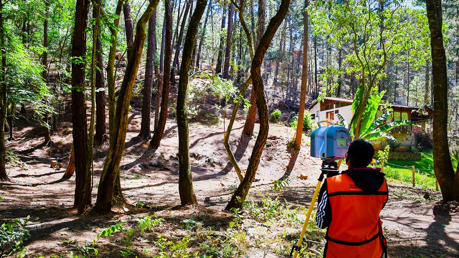
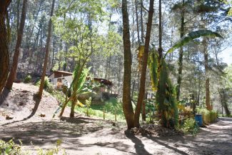
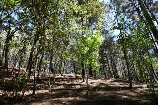
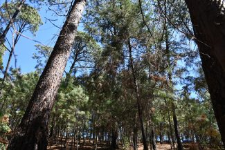
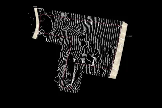
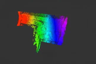
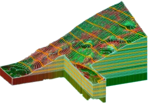
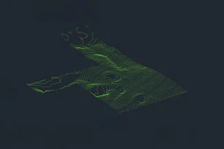
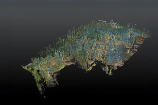
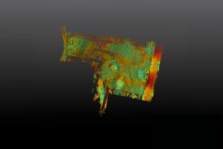
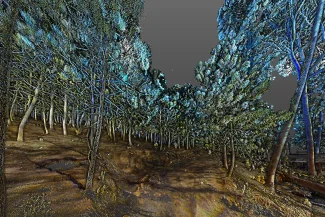
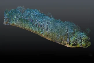
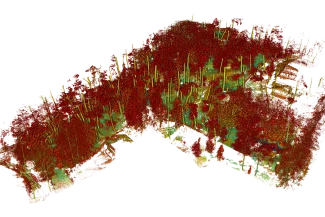
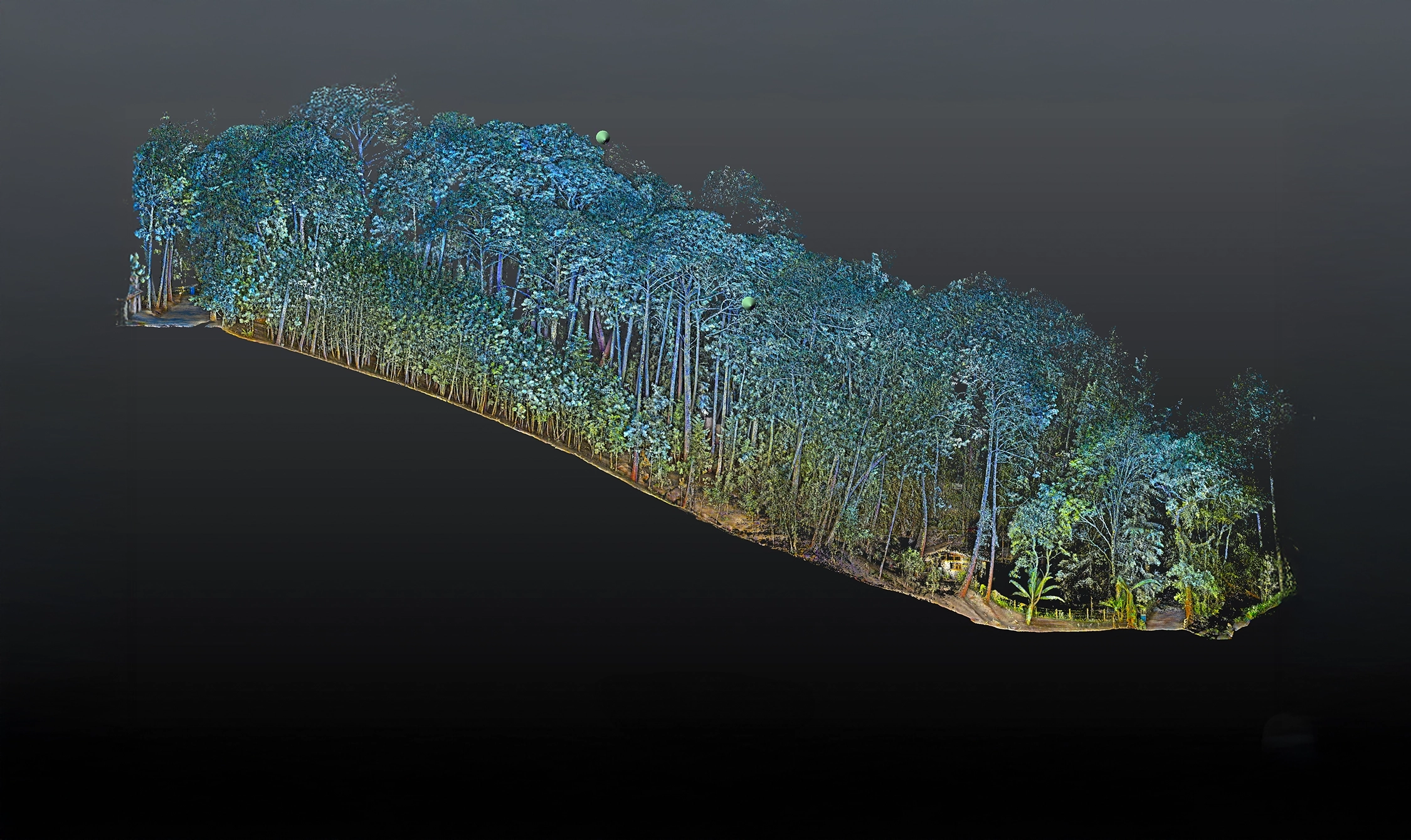
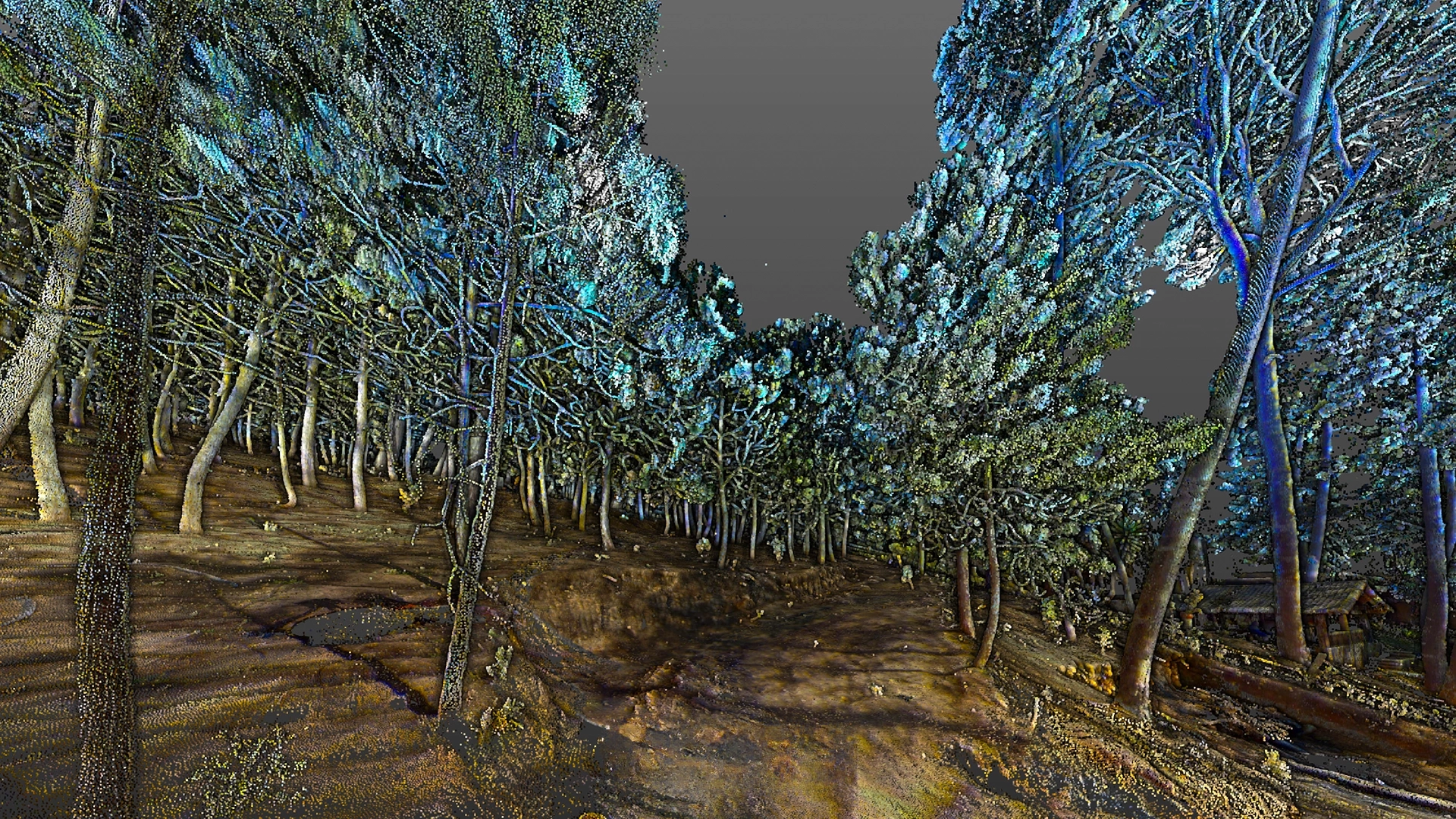
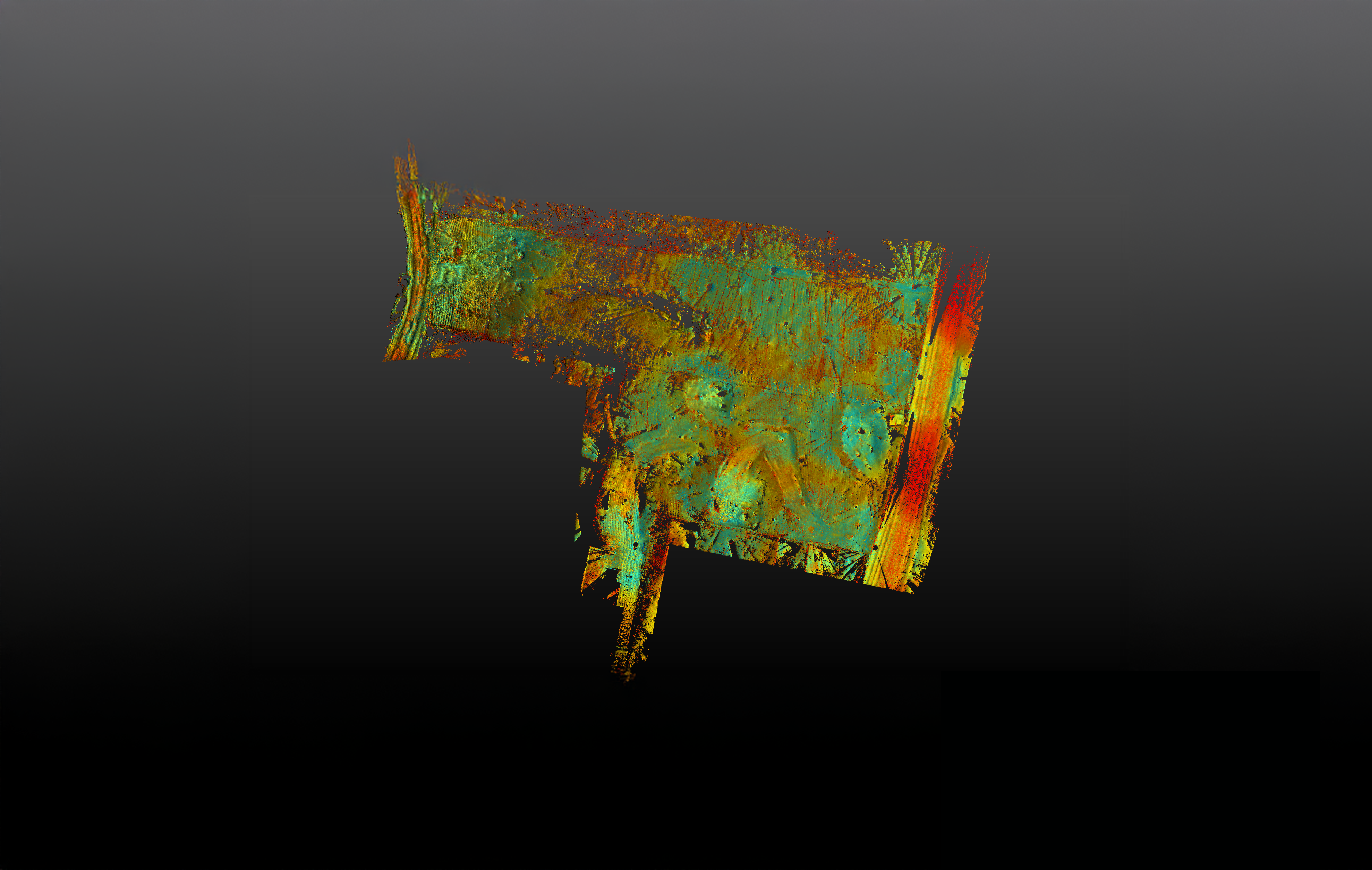
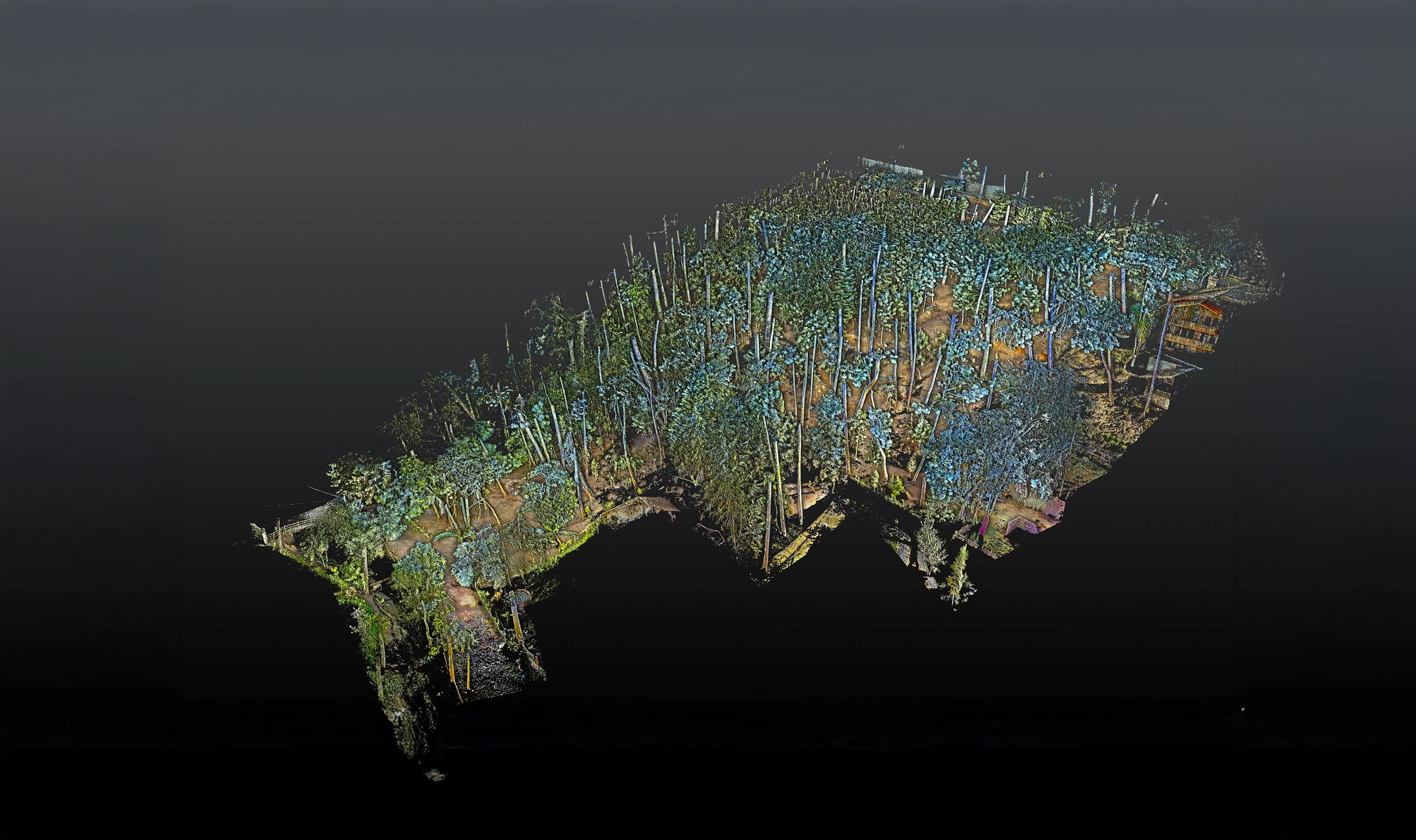
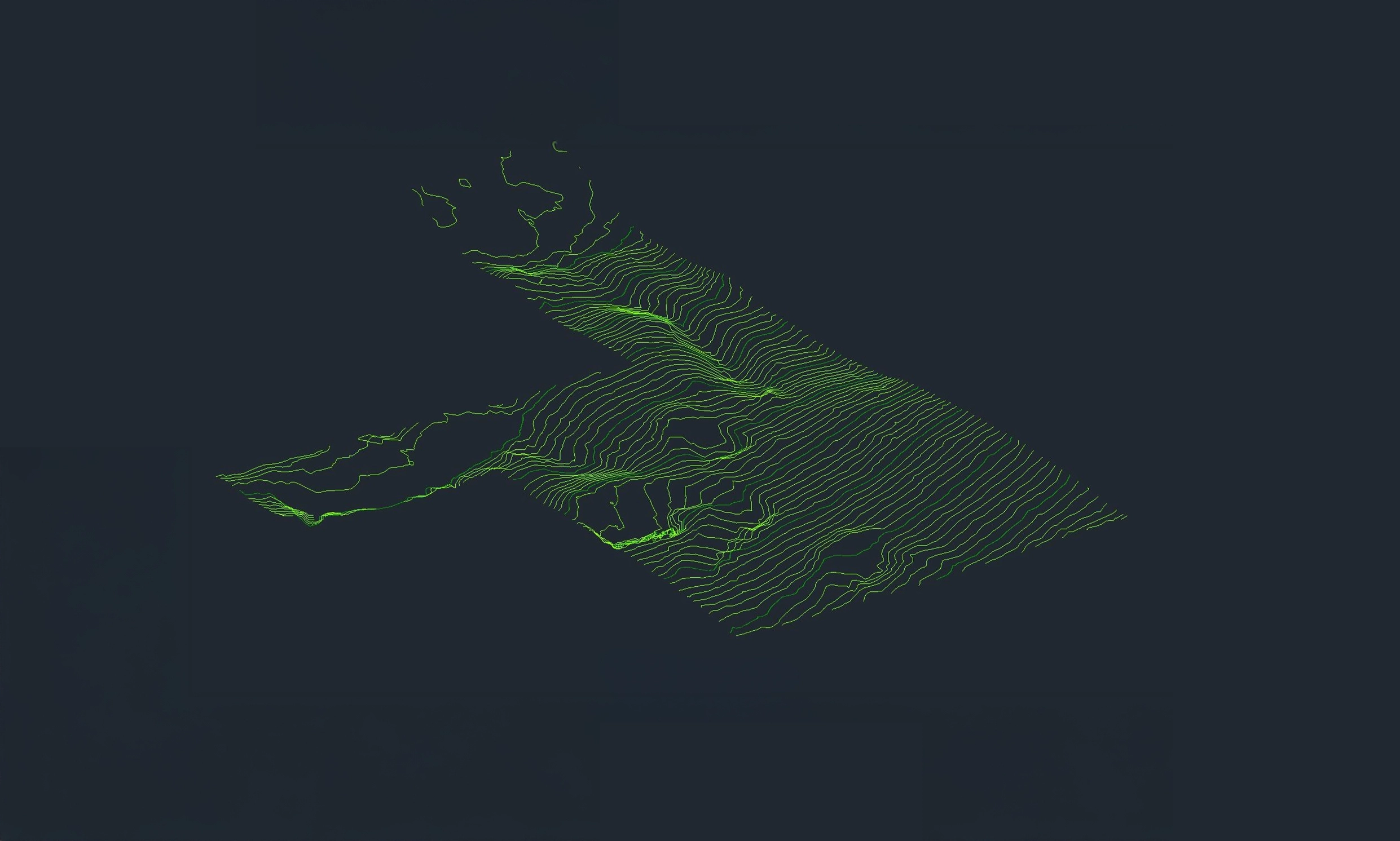
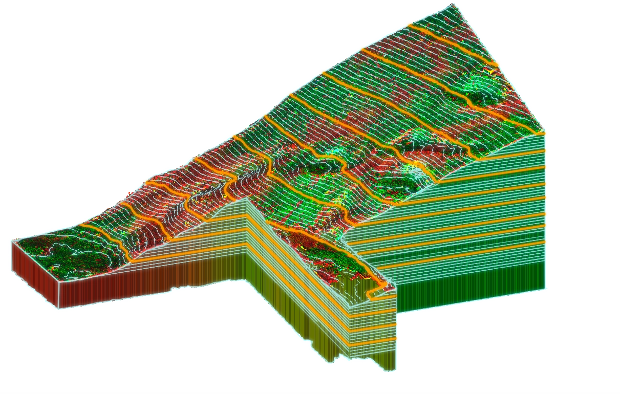
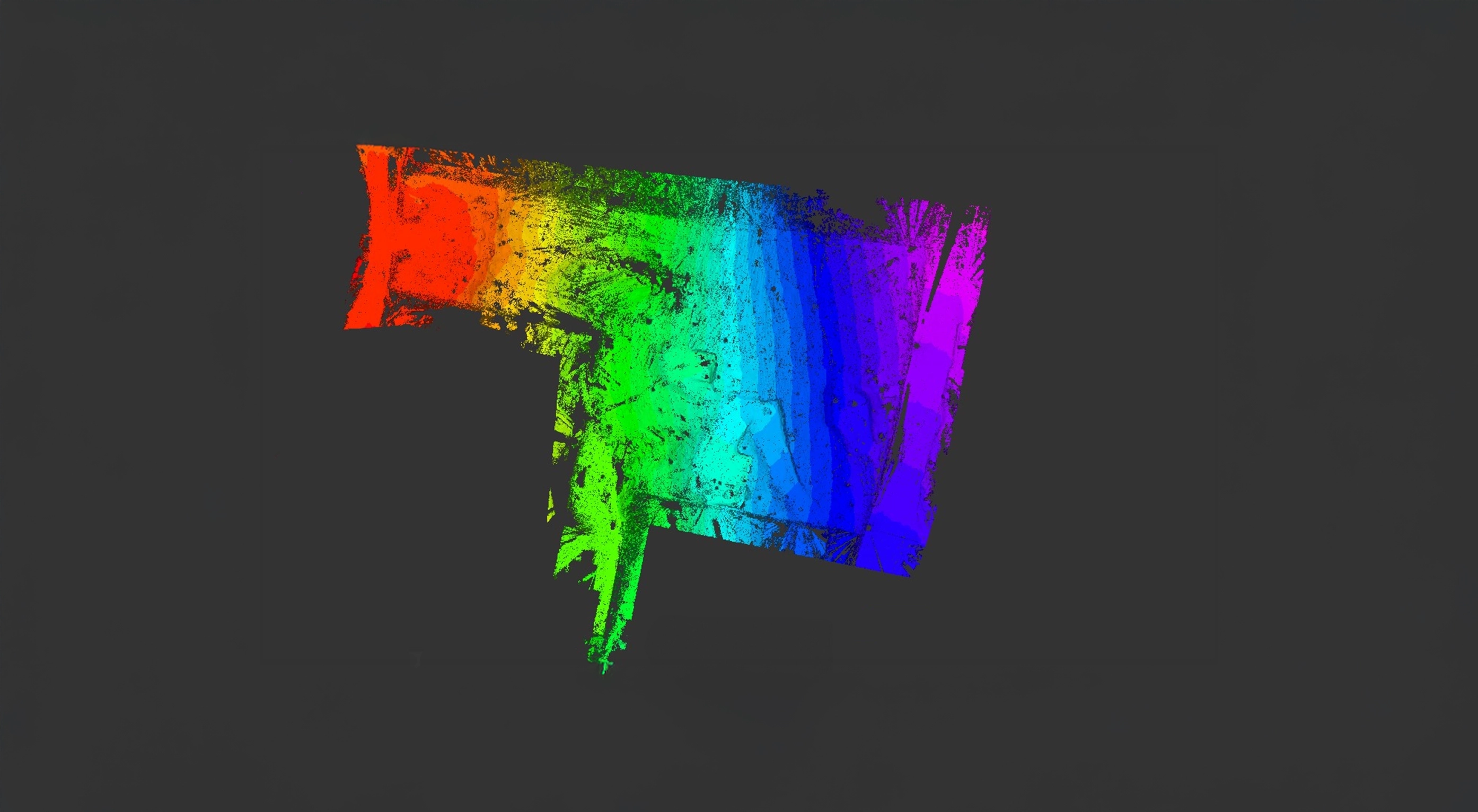
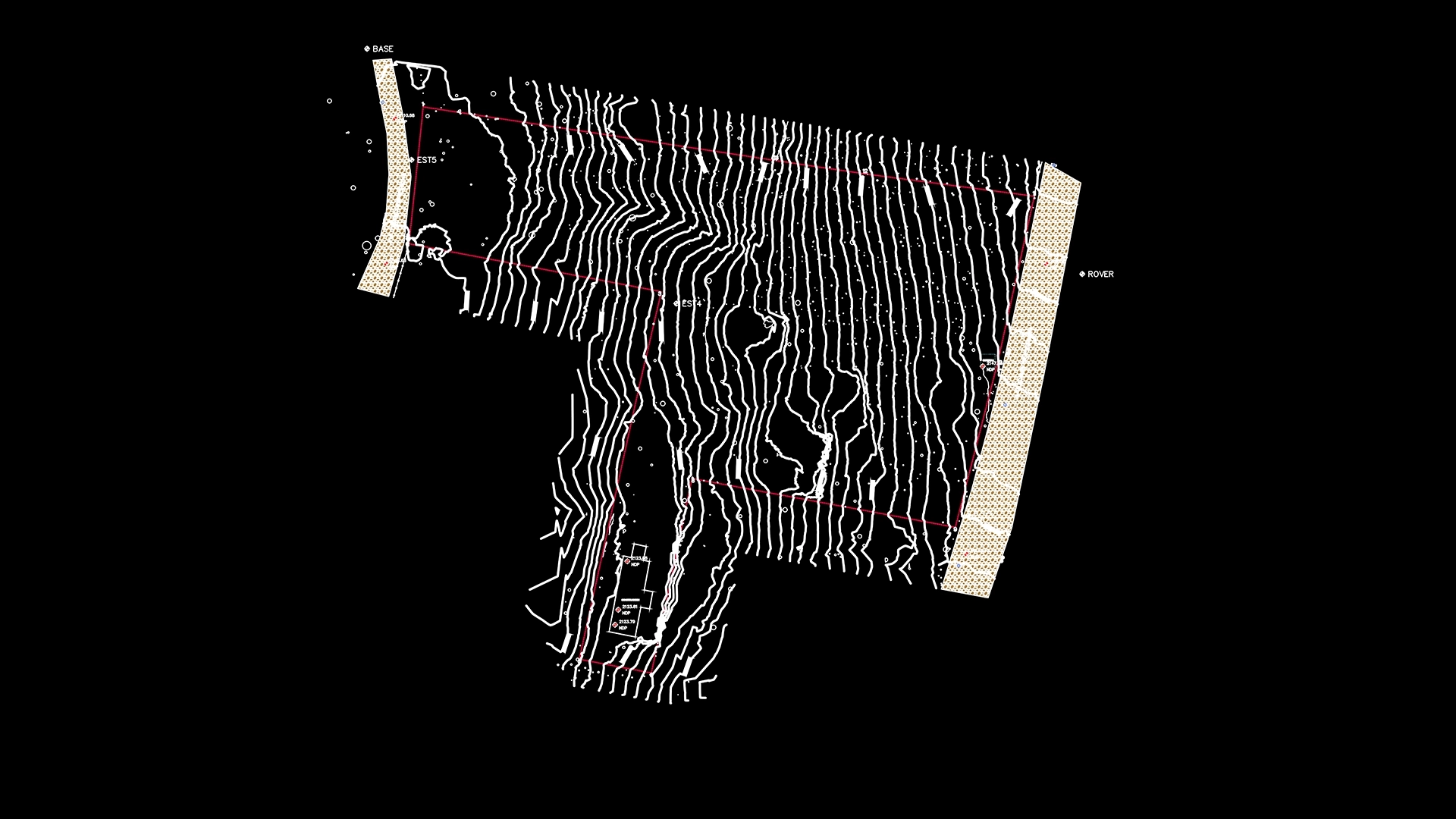
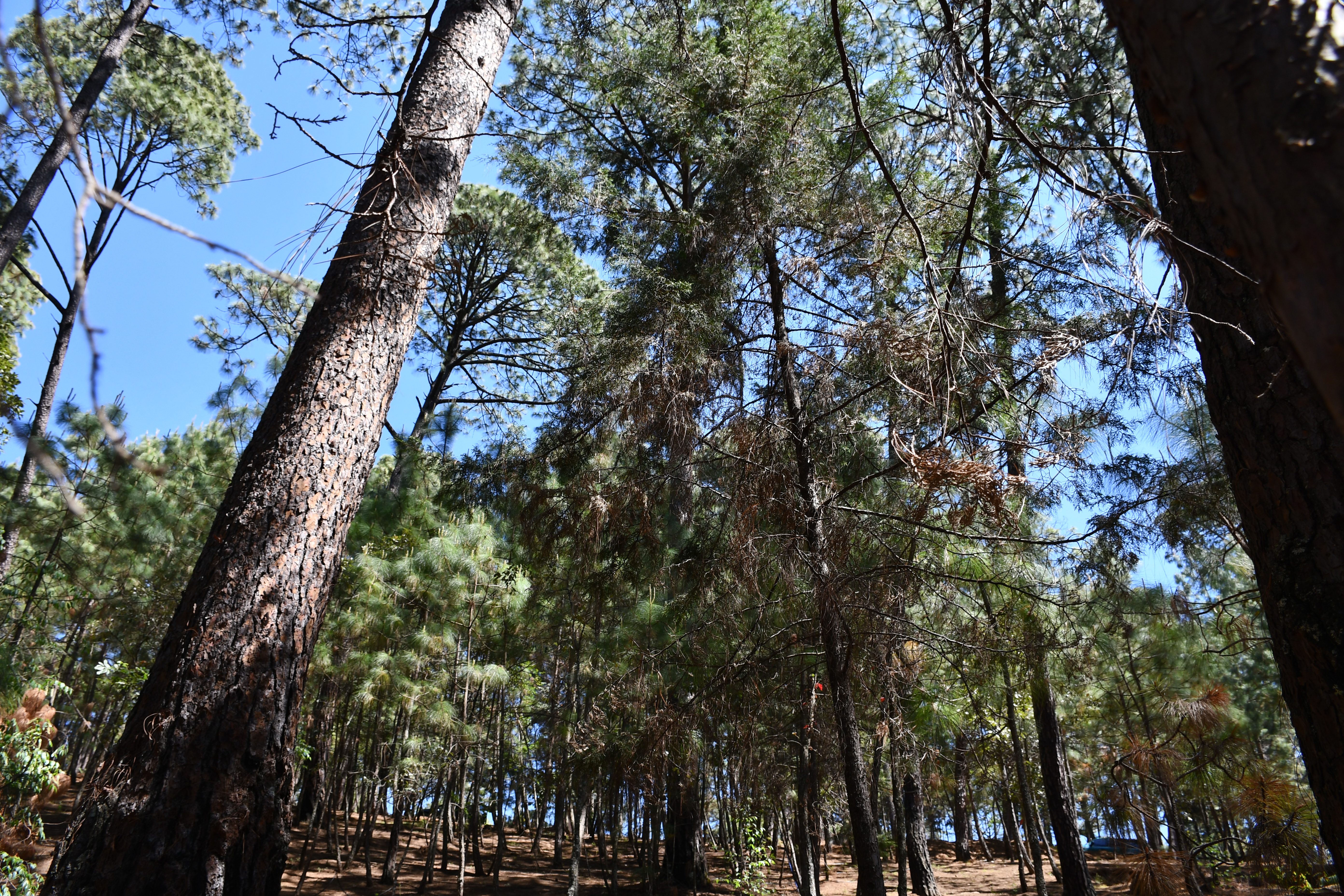
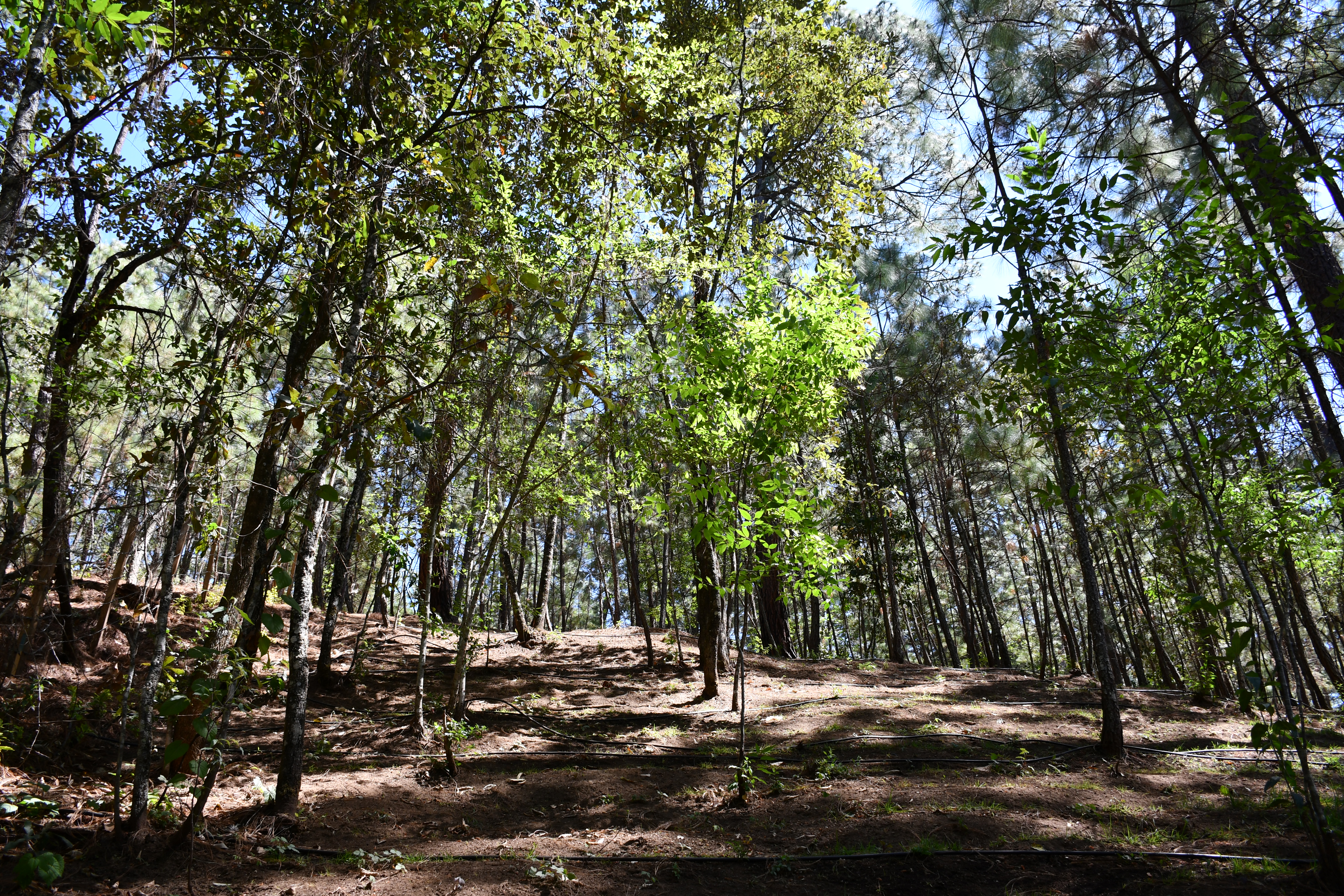
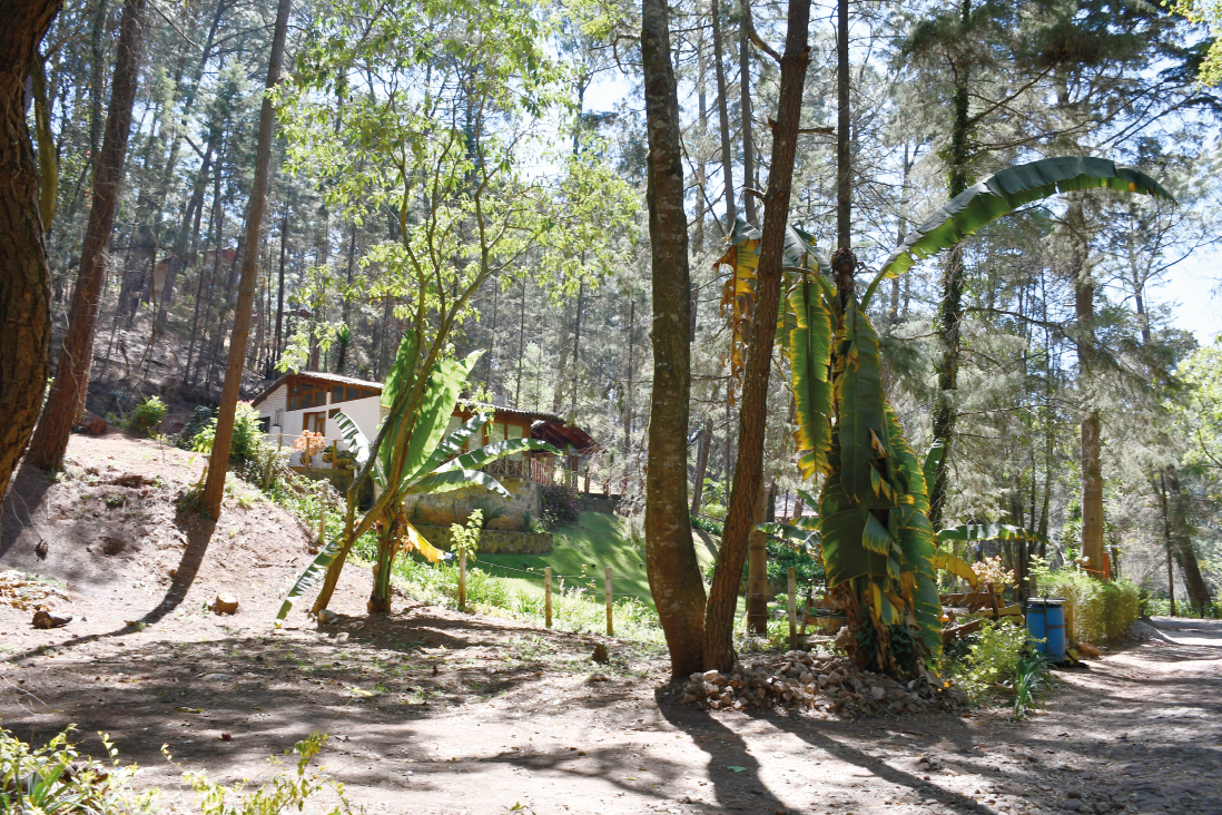
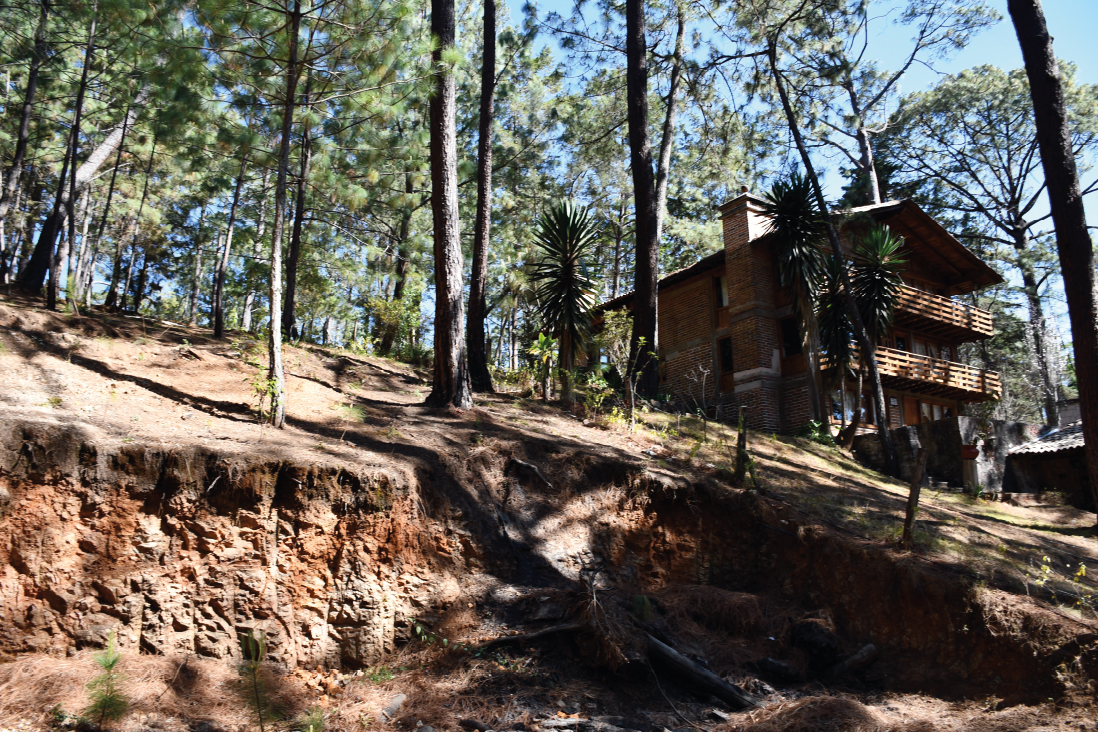
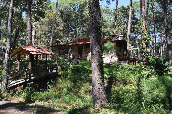
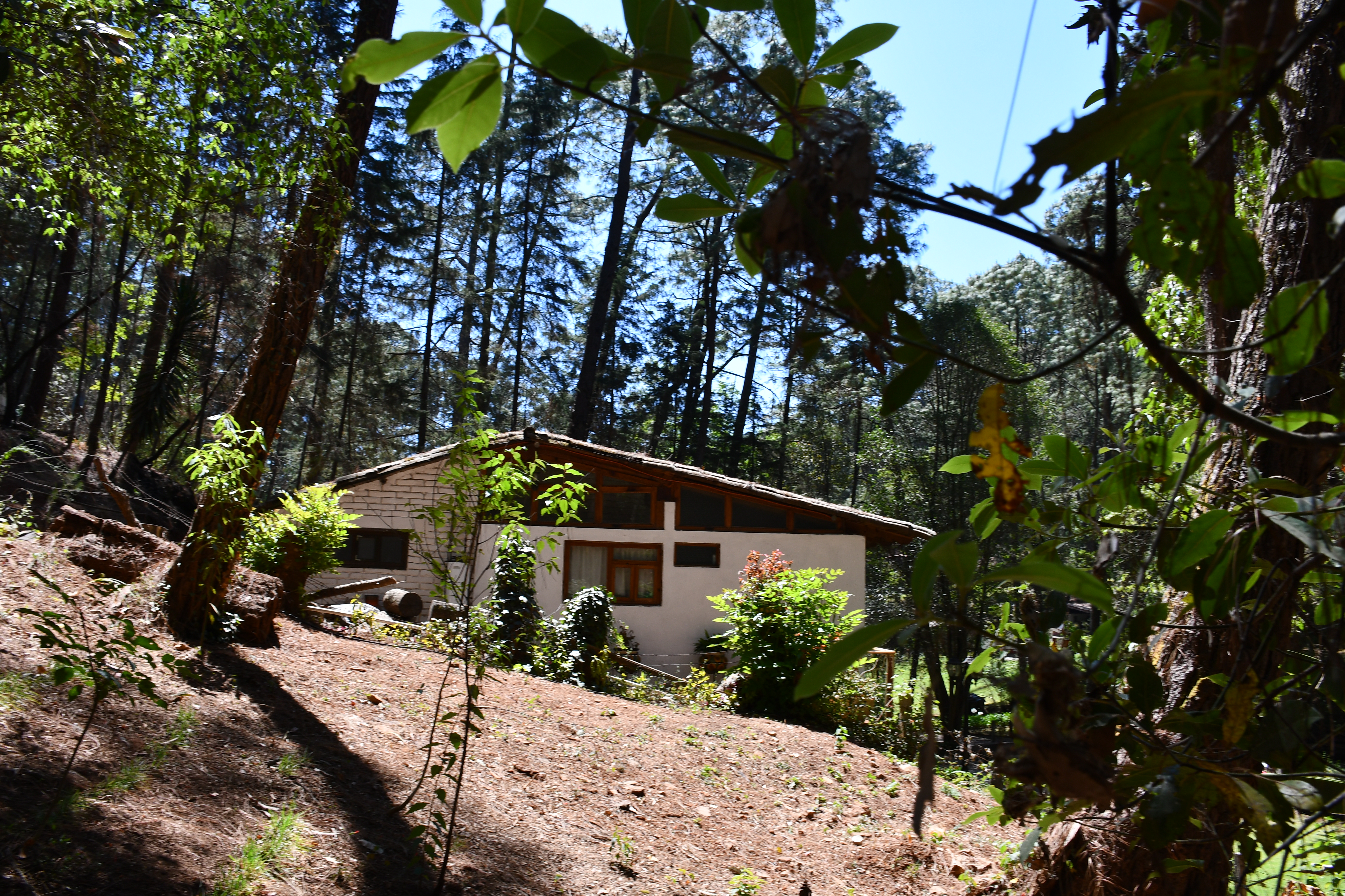
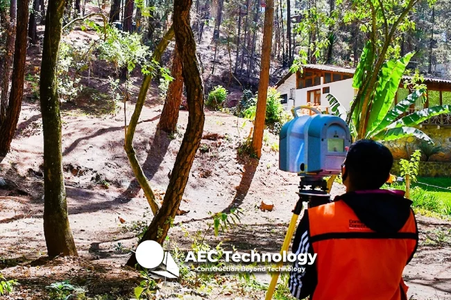
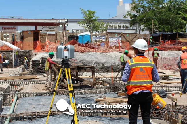
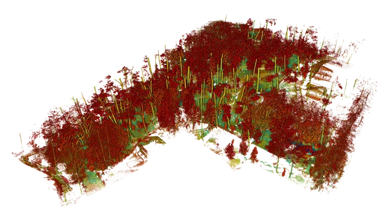
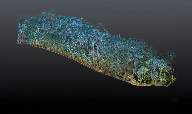
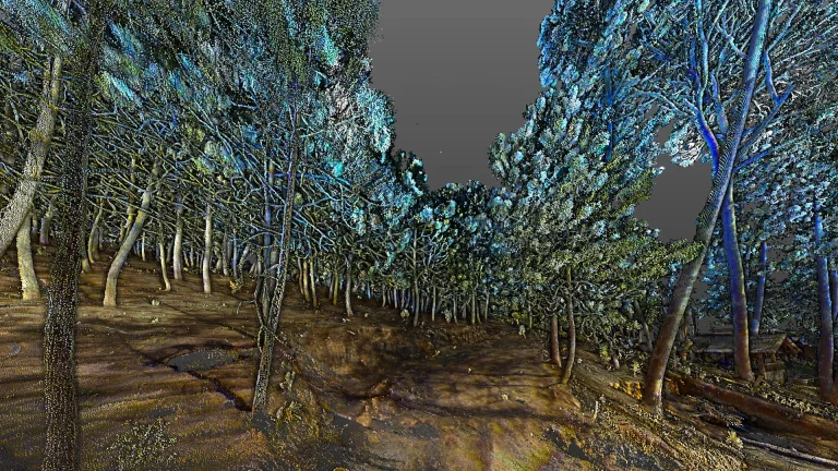
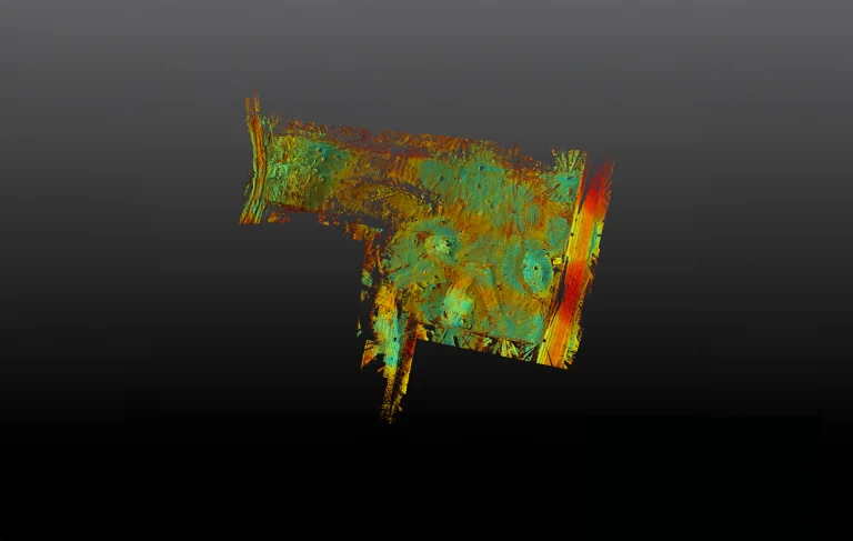
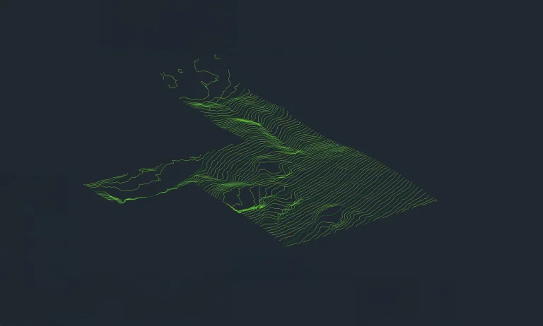
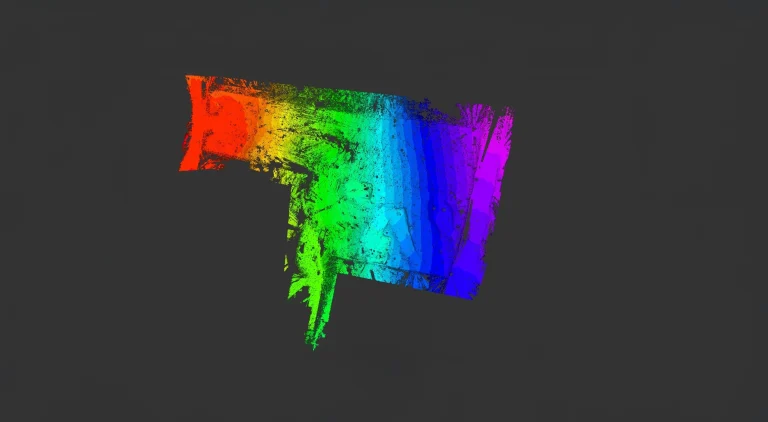
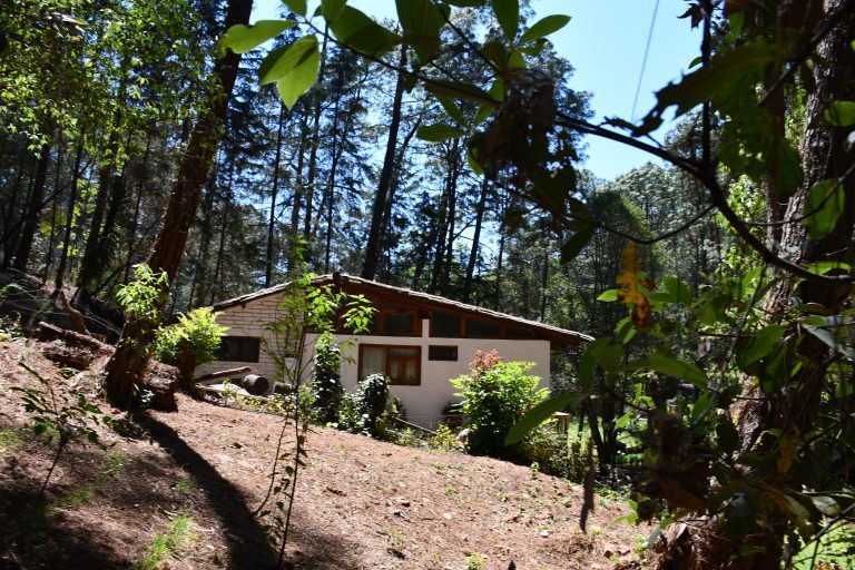
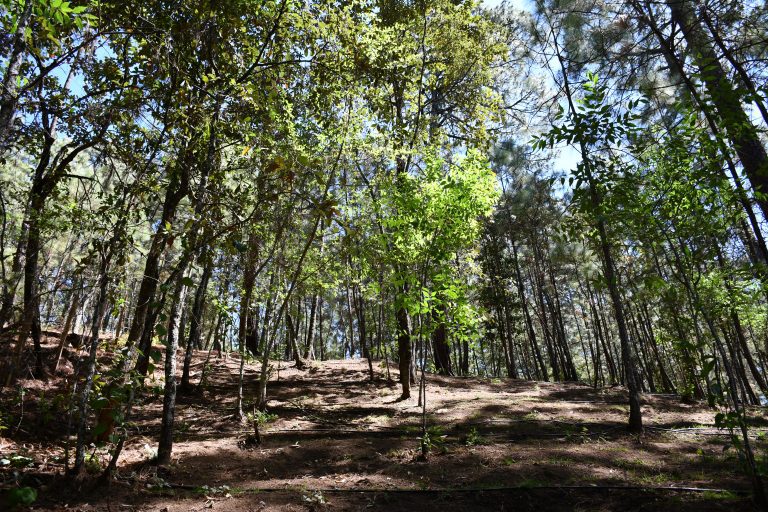
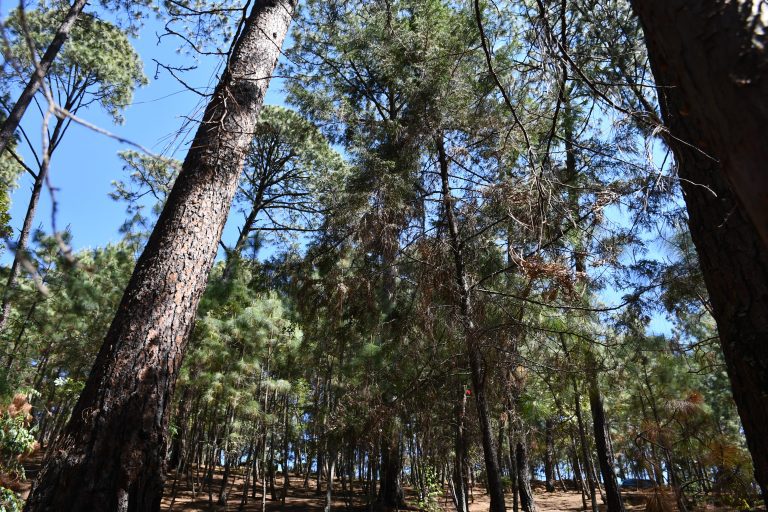
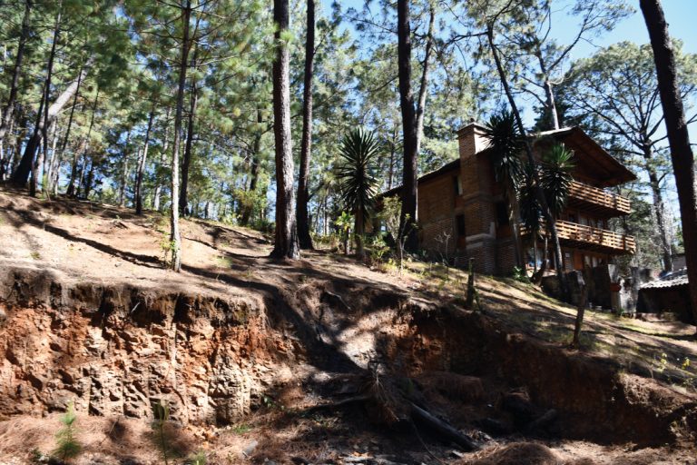
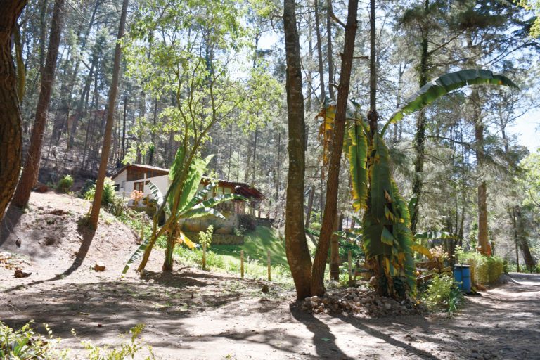
In this project, a topographic survey was carried out using terrestrial laser scanning, which generated contour lines, slope analysis, volume calculations, and a 3D model capable of representing the terrain even under dense vegetation.
Subsequently, the data was integrated into a GIS system, enabling a detailed site analysis and facilitating the planning of activities based on a solid foundation of geospatial information.