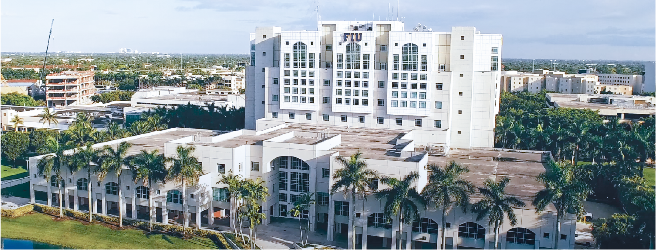
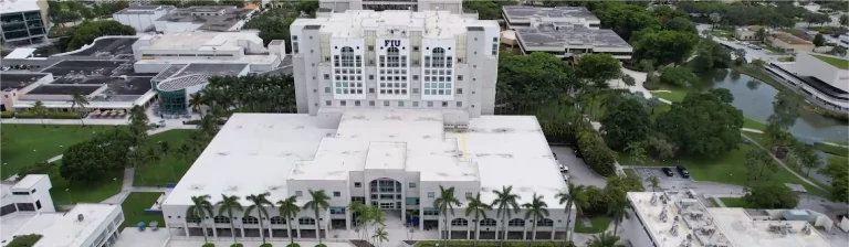
In the project for Florida International University (FIU), Reality Capture was carried out using laser scanning and aerial photography to accurately capture key areas of the university campus. This process documented the infrastructure and its surroundings, providing a reliable foundation for technical analysis, strategic planning, and efficient management, enabling informed decisions for future interventions.
Client:
Florida
International
University
Location:
Miami,
Estados Unidos
Year:
2019
REALITY CAPTURE
digital photography
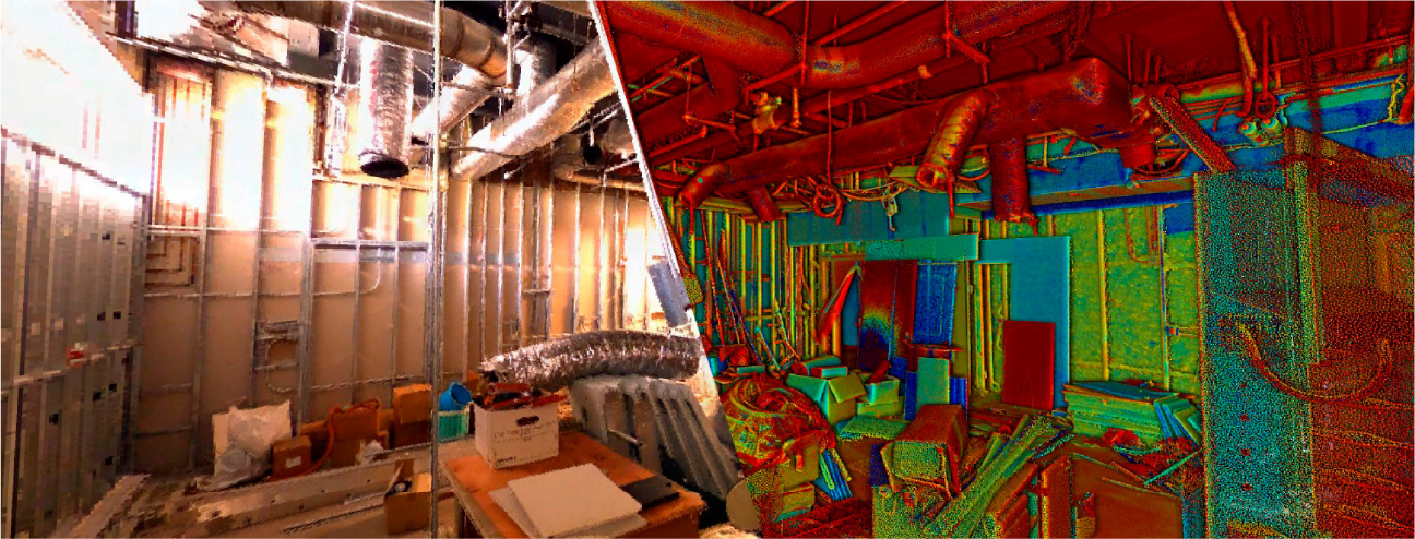
Terrestrial laser scanning
Terrestrial laser scanning was used to capture high-precision three-dimensional data, generating a detailed point cloud that documented key elements of the campus infrastructure, such as buildings, access points, and common areas. This information served as the foundation for analysing existing conditions, optimising planning, and managing the facilities.
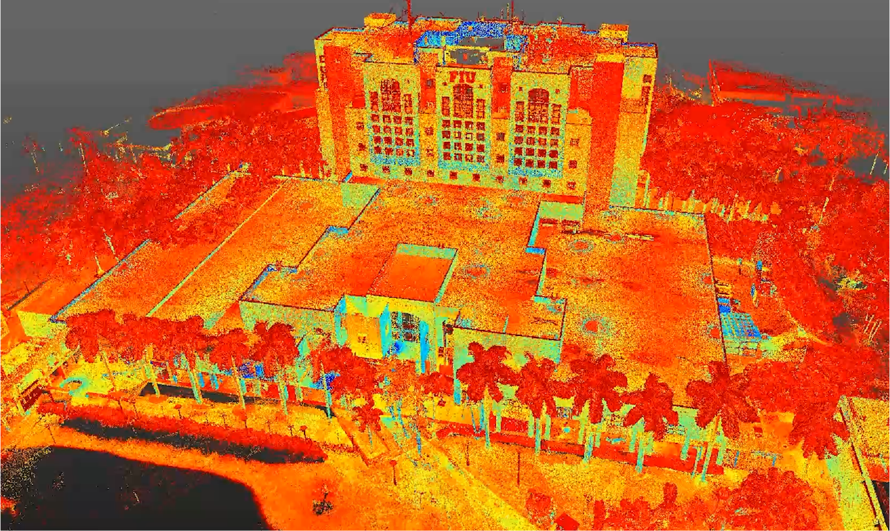
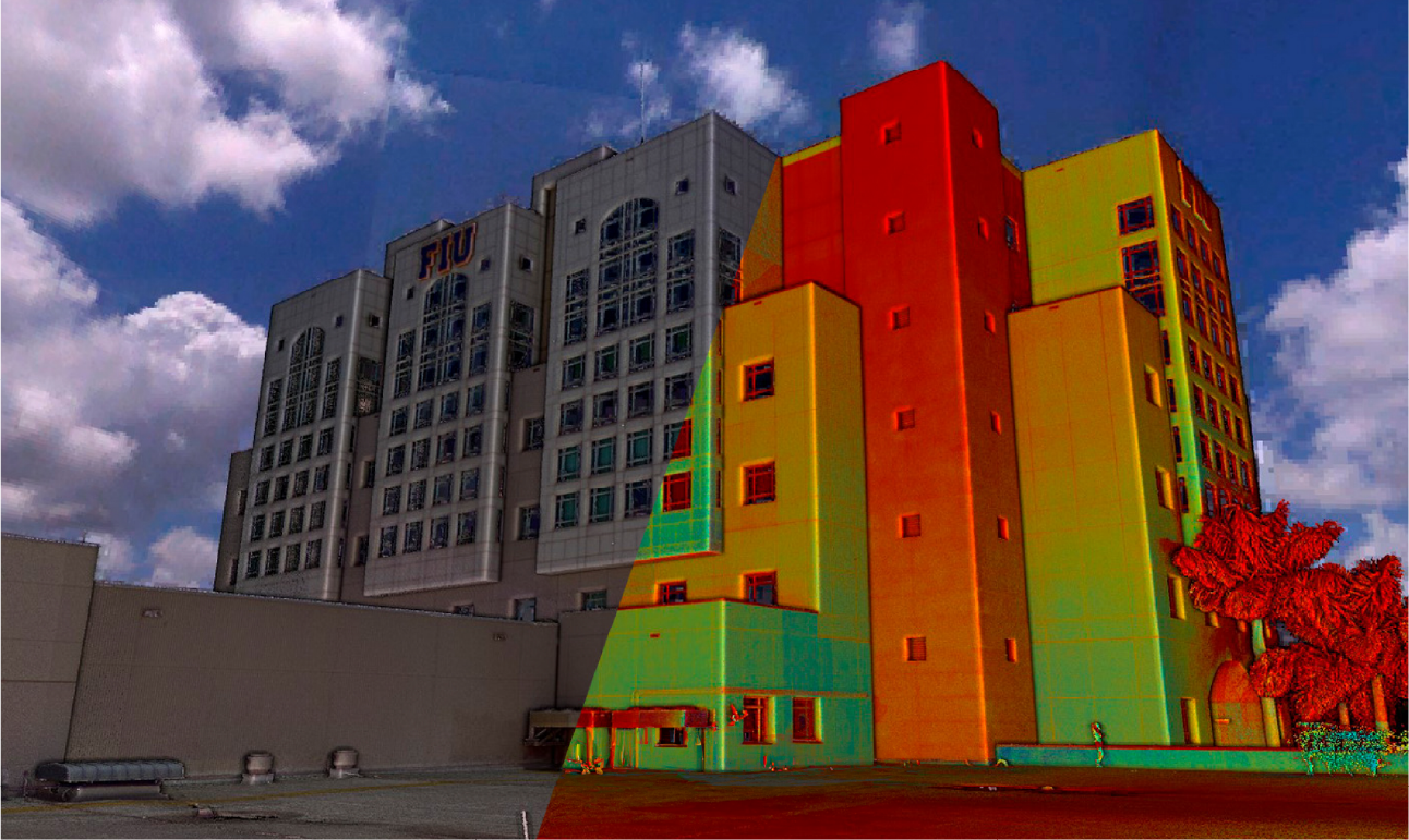
Aerial photography
Aerial photography provided a panoramic view of the campus, capturing high-resolution images that documented its surroundings and layout. These images facilitated the identification of usage patterns, the efficient planning of future expansions, and the integration of visual data for more comprehensive and strategic management of the spaces.
In the project for Florida International University (FIU), Reality Capture was carried out using laser scanning and aerial photography to accurately capture key areas of the university campus. This process documented the infrastructure and its surroundings, providing a reliable foundation for technical analysis, strategic planning, and efficient management, enabling informed decisions for future interventions.
reality capture
Terrestrial Laser Scanning
Terrestrial laser scanning was used to capture high-precision three-dimensional data, generating a detailed point cloud that documented key elements of the campus infrastructure, such as buildings, access points, and common areas. This information served as the foundation for analysing existing conditions, optimising planning, and managing the facilities.
digital photography
Aerial Photography
Aerial photography provided a panoramic view of the campus, capturing high-resolution images that documented its surroundings and layout. These images facilitated the identification of usage patterns, the efficient planning of future expansions, and the integration of visual data for more comprehensive and strategic management of the spaces.