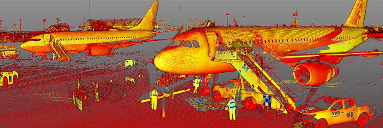
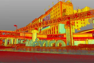
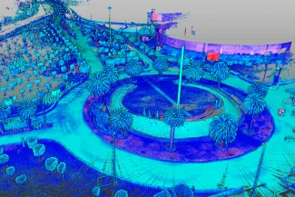
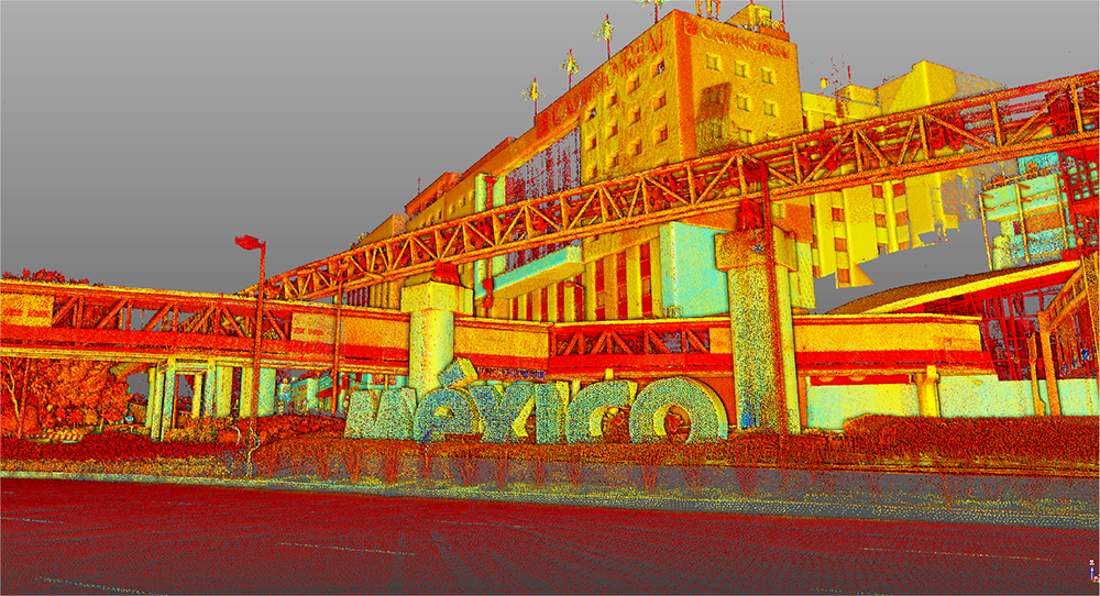
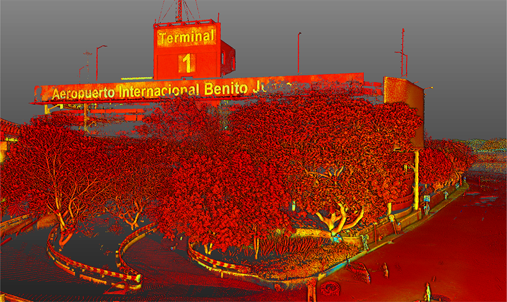
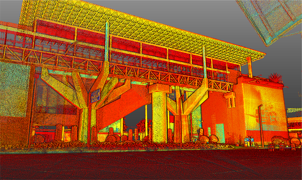
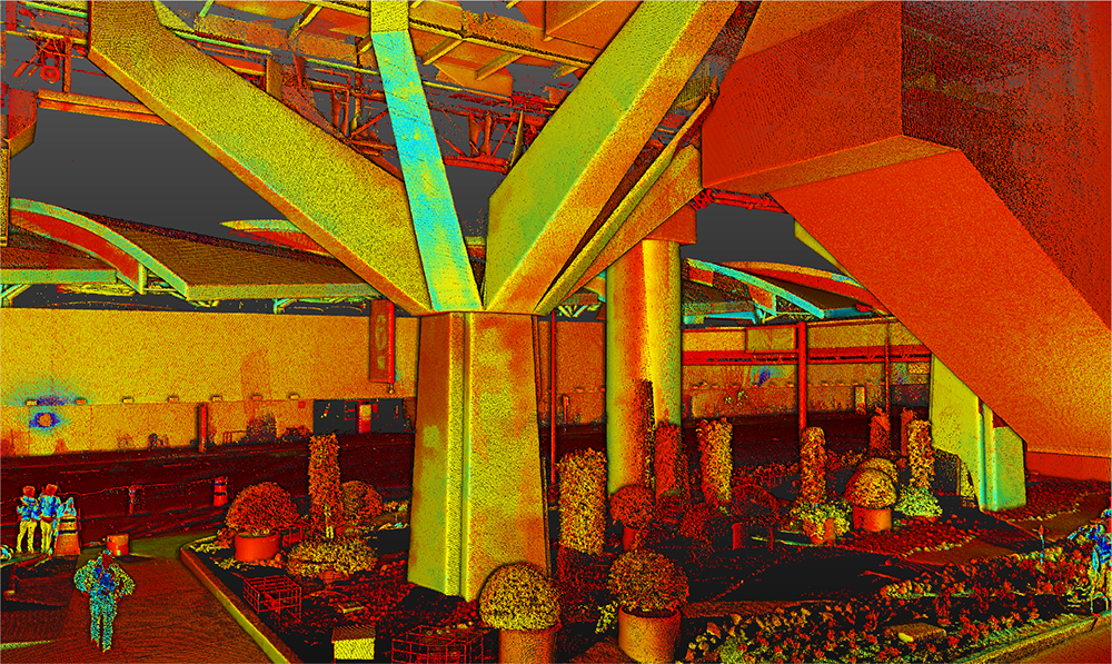
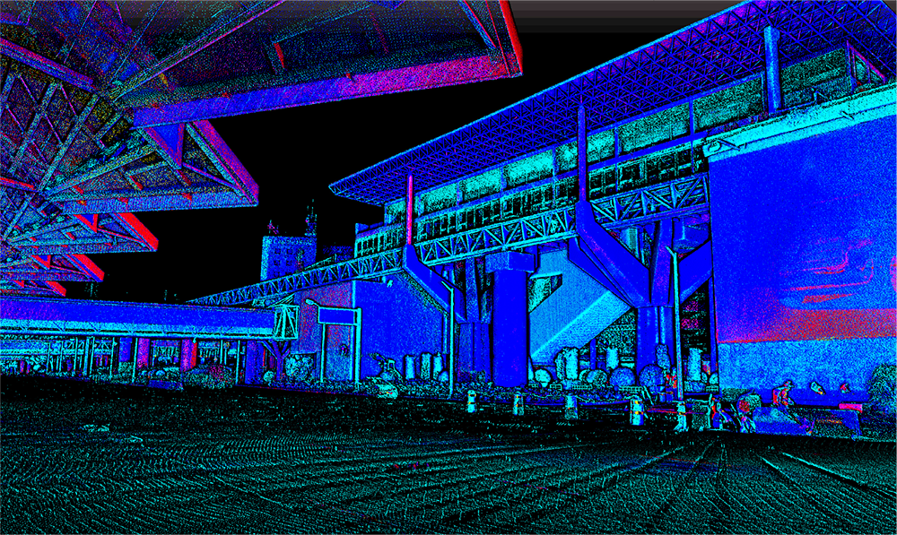
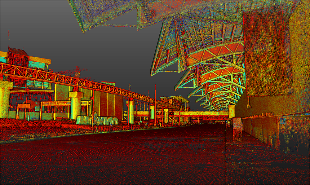
In this project, a terrestrial laser scanning survey was carried out at Mexico City Airport, accurately documenting both the infrastructure and the perimeter.
Moreover, thanks to the information obtained, planning was facilitated and the technical analysis of the project was strengthened, ensuring a reliable foundation for the subsequent stages of development.
Client:
GAP
(Grupo
Aeroportuario
del Pacífico)
Location:
Ciudad de México,
México
Year:
2019
REALITY CAPTURE
ESCANEO
LÁSER TERRESTRE
The terrestrial laser scan generated a detailed point cloud that accurately recorded the buildings and the airport perimeter.
Thanks to this data, it was possible to support specialized technical studies and facilitate the optimization of future interventions, ensuring greater accuracy and efficiency in the project’s development.
A survey was conducted using terrestrial laser scanning at Mexico City Airport to accurately document its infrastructure and perimeter. The information obtained facilitated project planning and technical analysis.
REALITY CAPTURE
Terrestrial Laser Scanning
The terrestrial laser scanning generated a detailed point cloud that accurately recorded the airport’s buildings and perimeter. These data were key for technical studies and the optimization of future interventions.