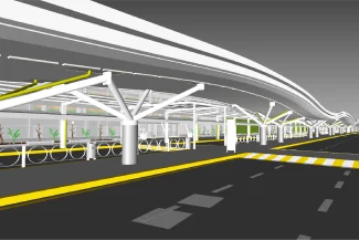
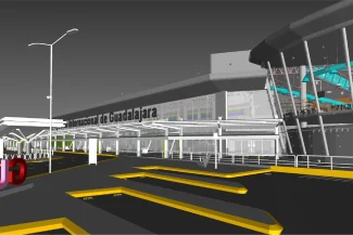
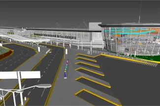
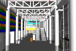
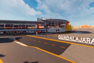
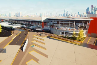
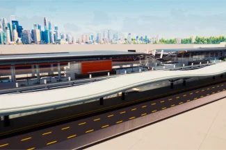
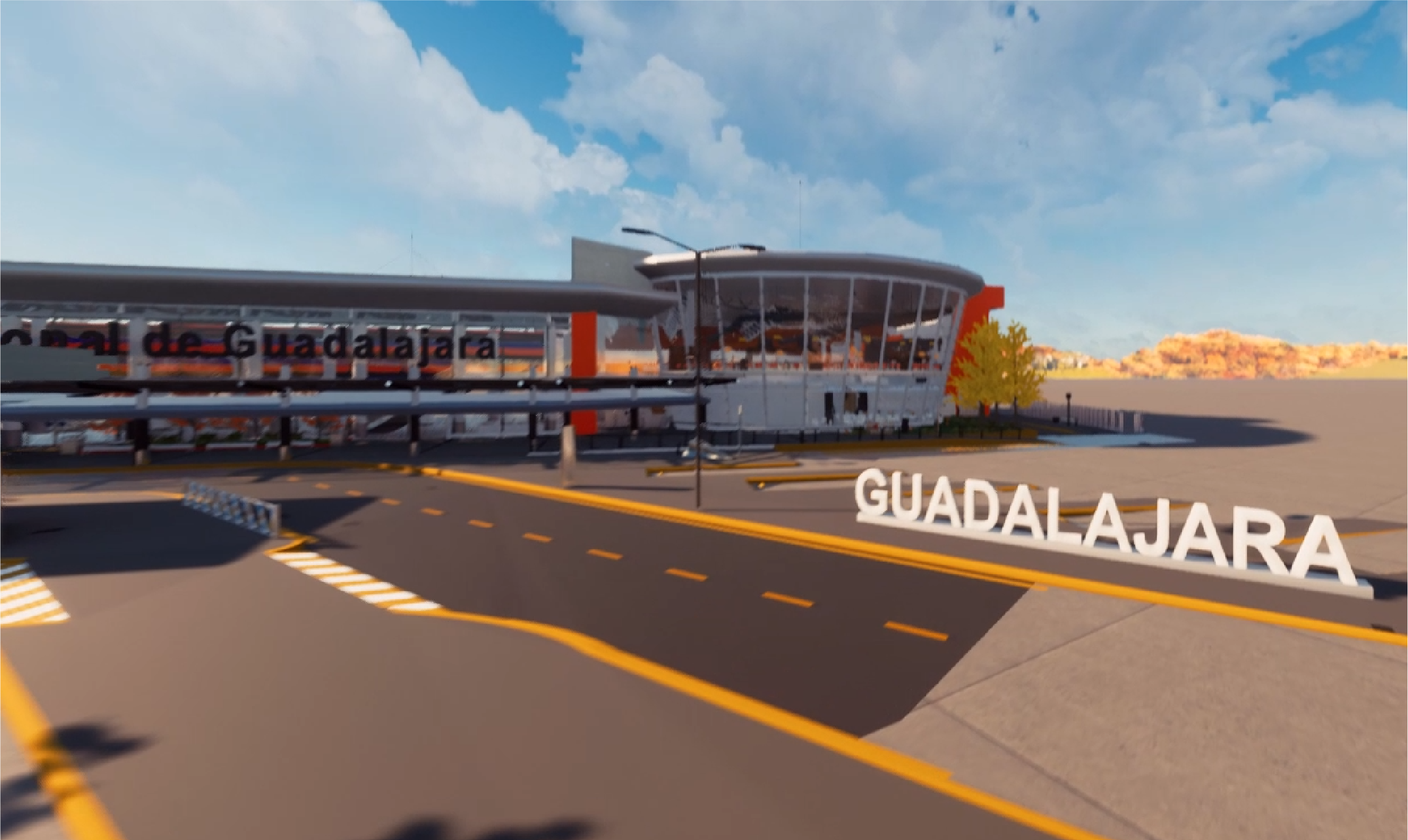
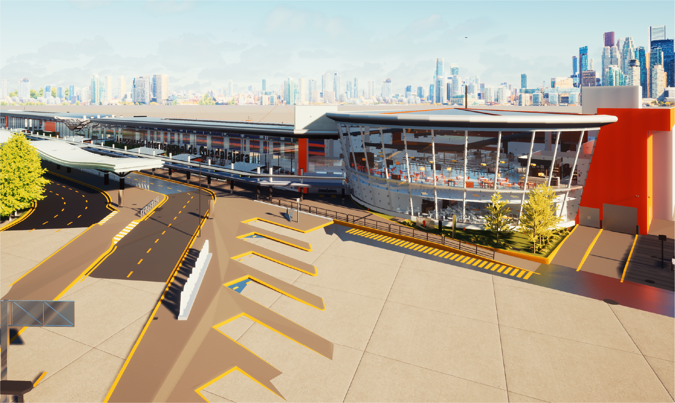
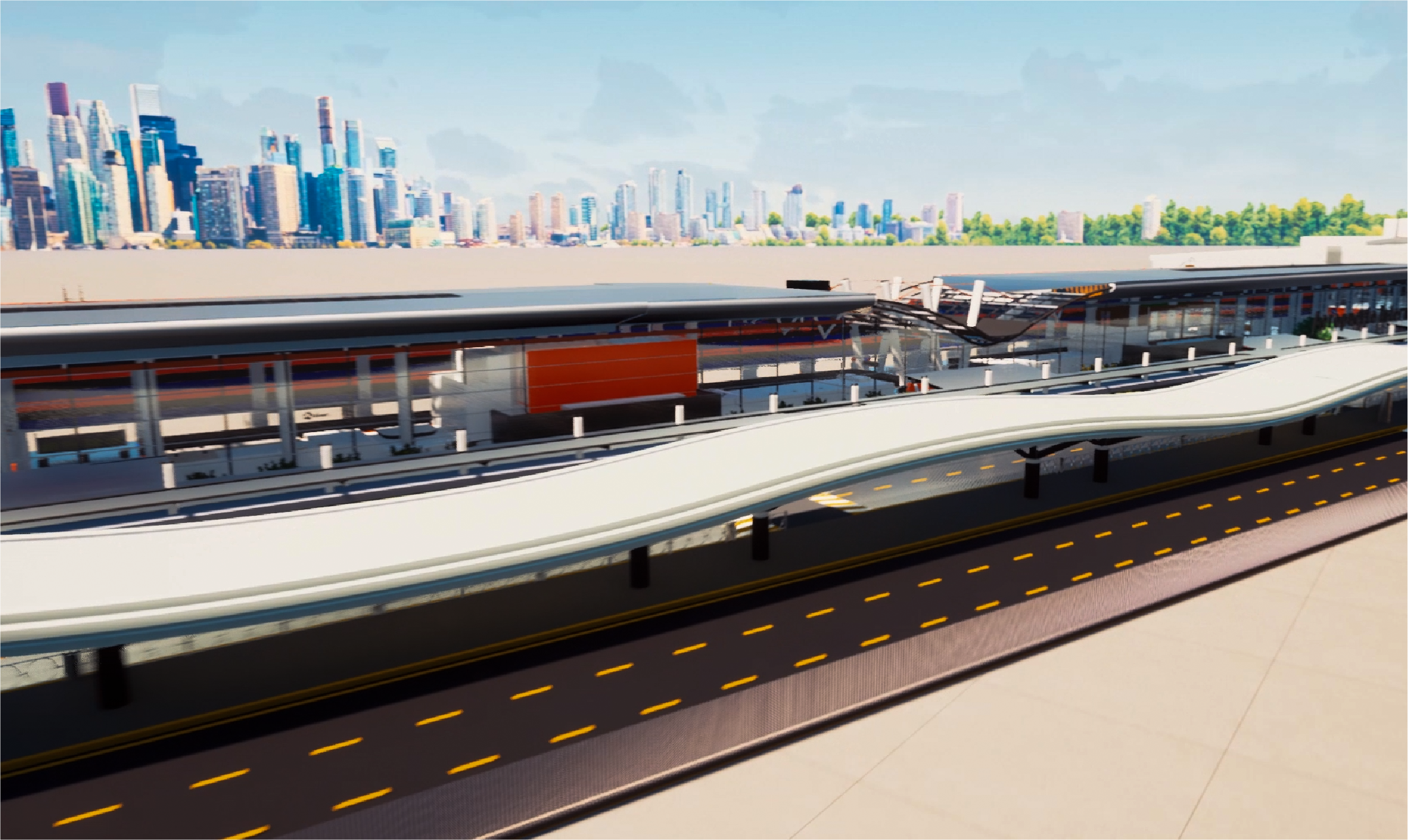
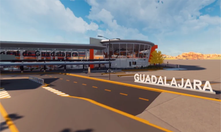
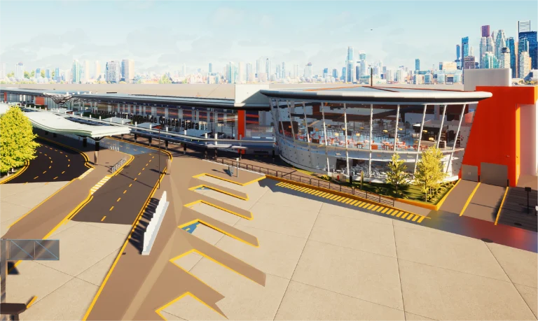
For Guadalajara Airport, a survey was conducted using terrestrial laser scanning and the generation of BIM models to accurately document the buildings and their perimeter. The information gathered enabled more efficient planning, improving project management and analysis.
Client:
GAP
(Grupo
Aeroportuario
del Pacífico)
Location:
Guadalajara,
México
Year:
2019
REALITY CAPTURE
DIGITAL MODELS
TERRESTRIAL
LASER SCANNING
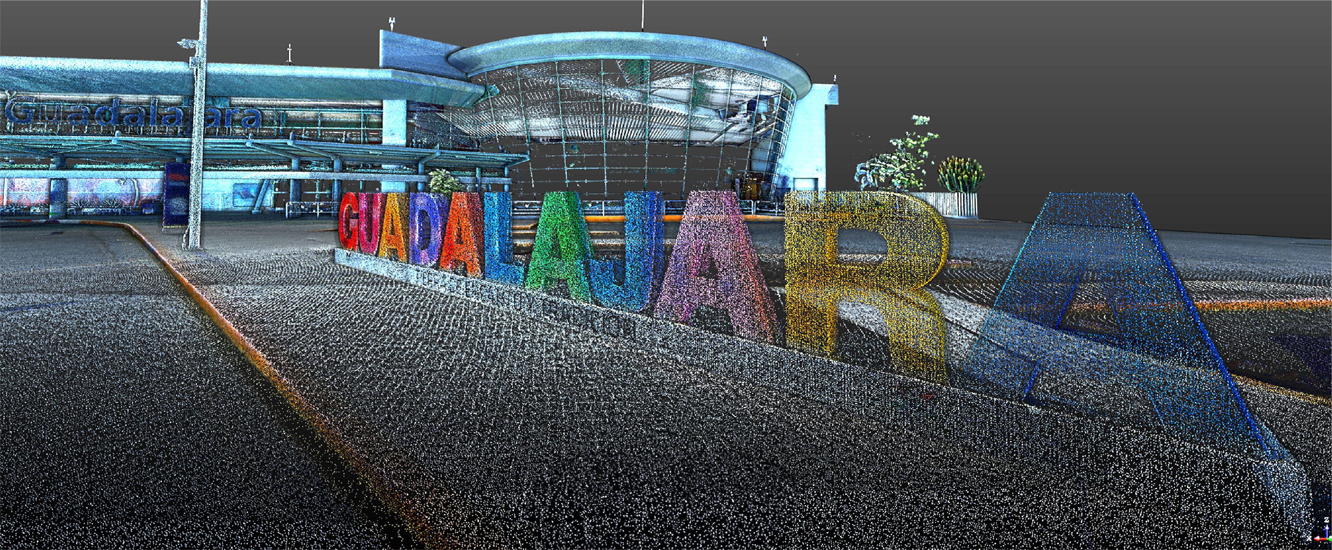
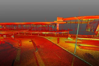
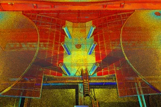
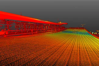
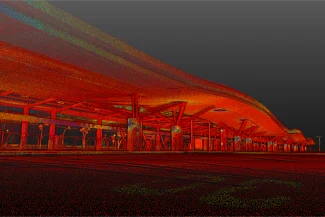
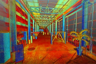
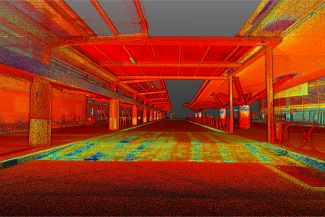
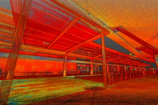
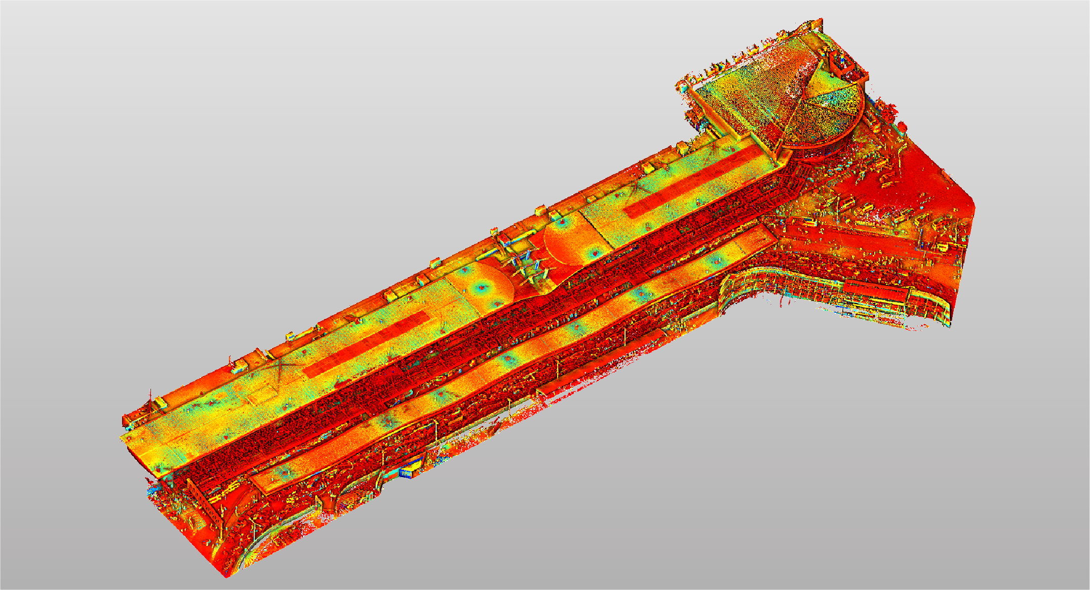
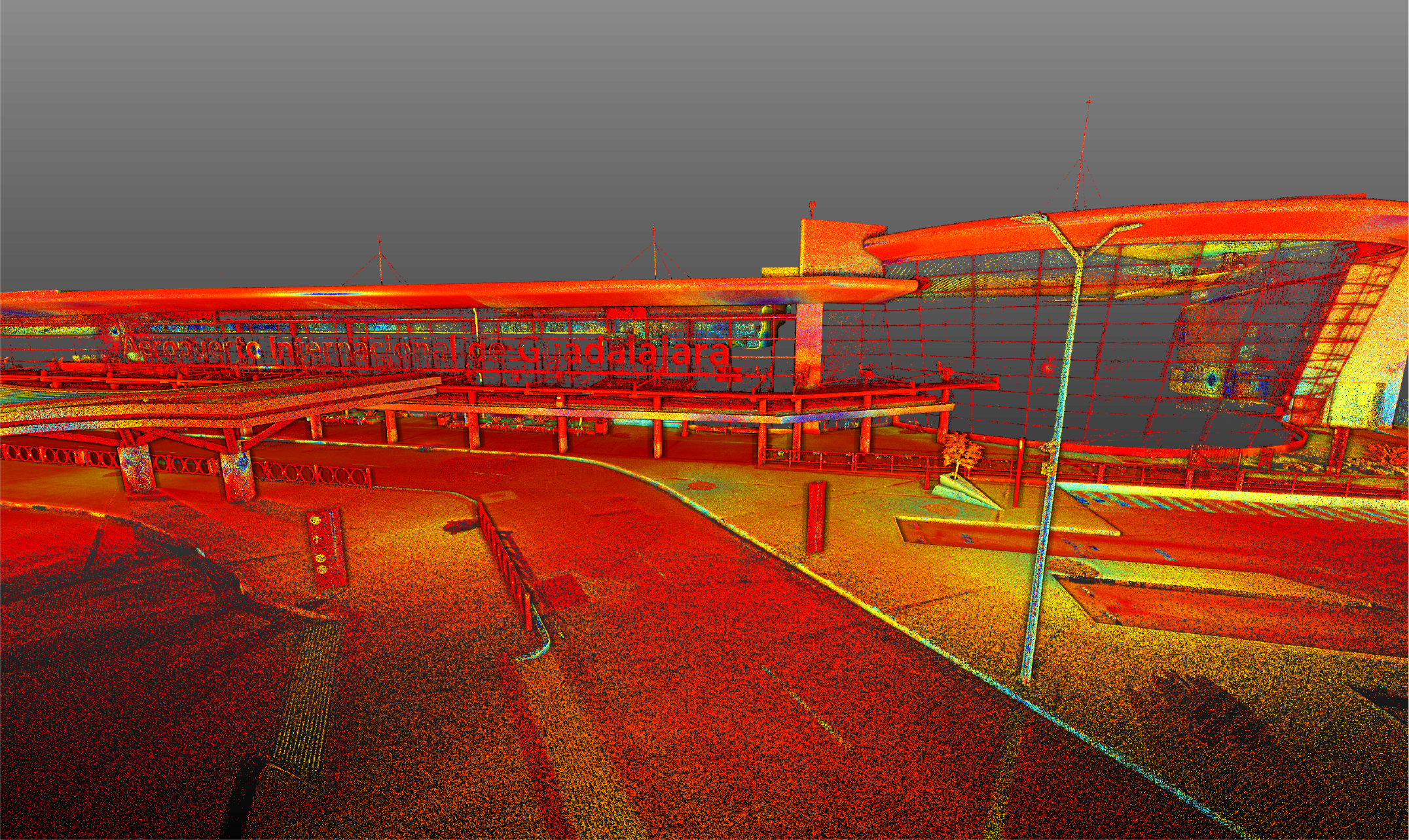
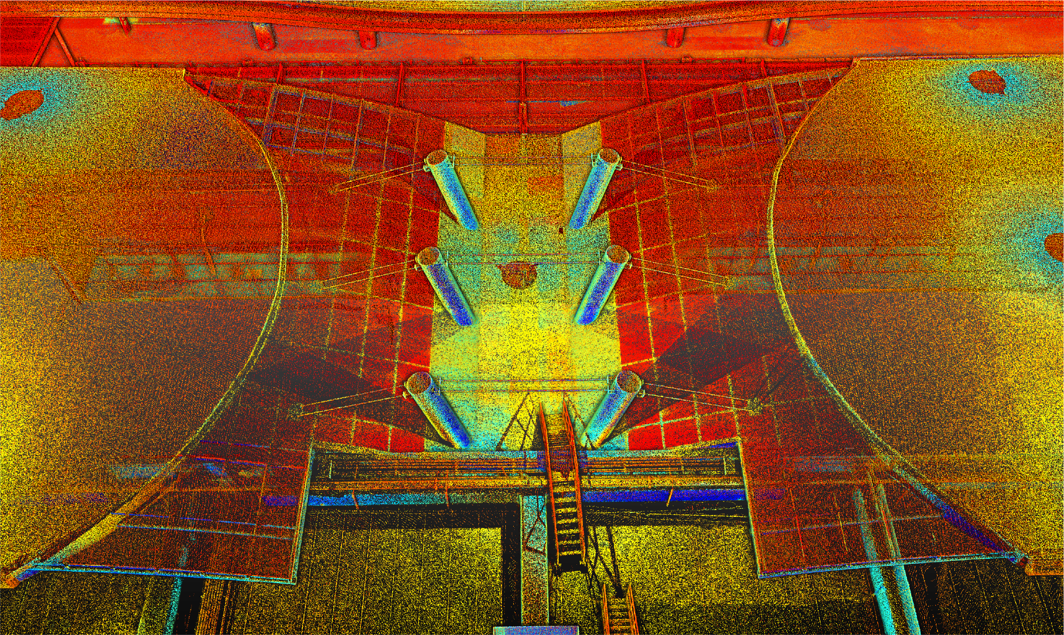
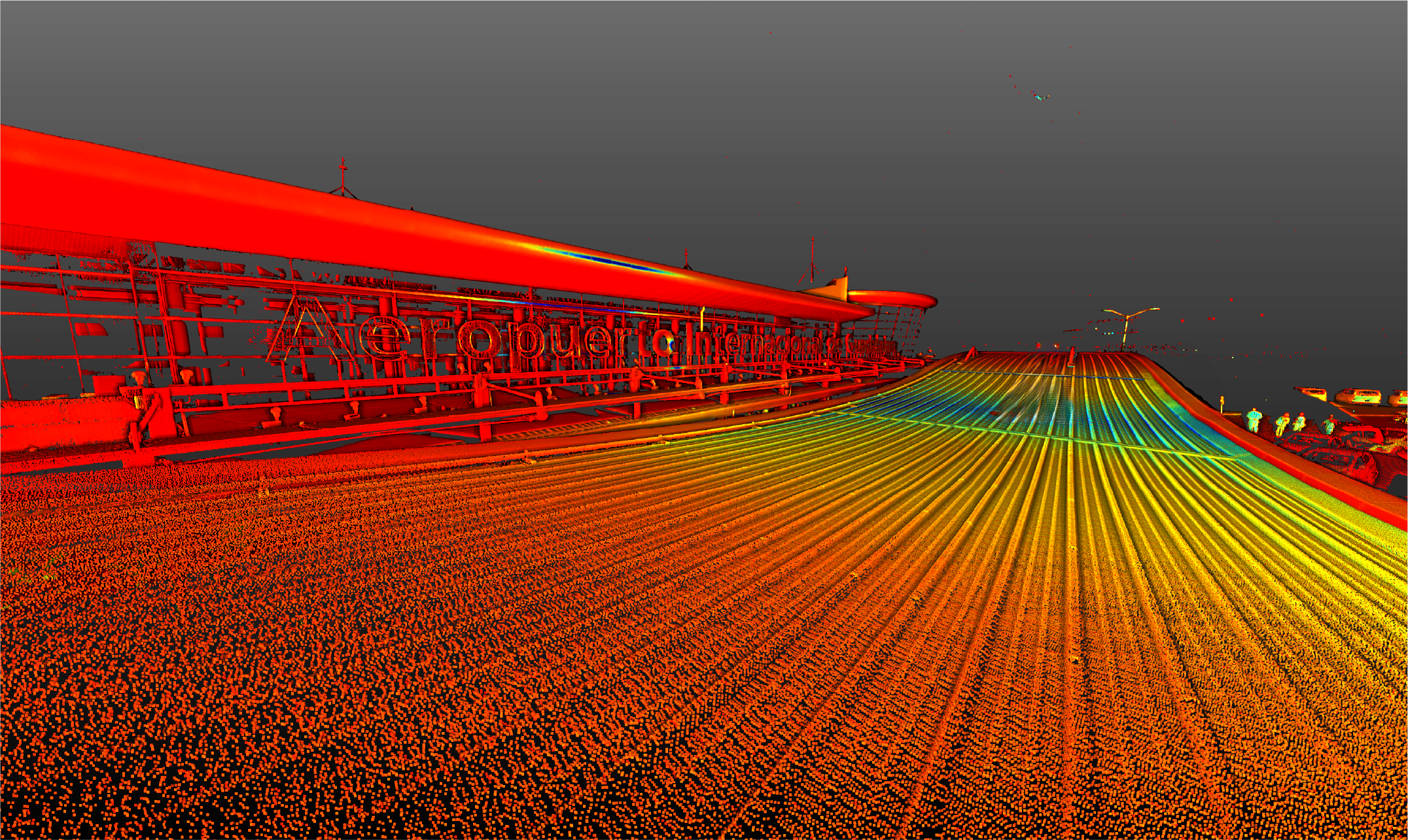
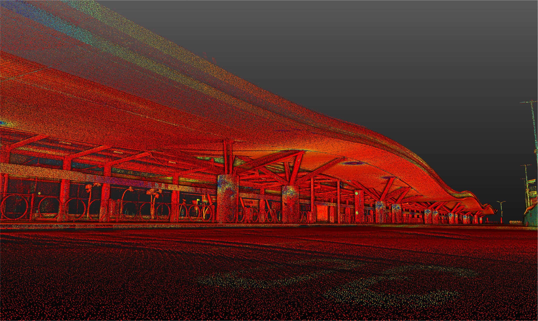
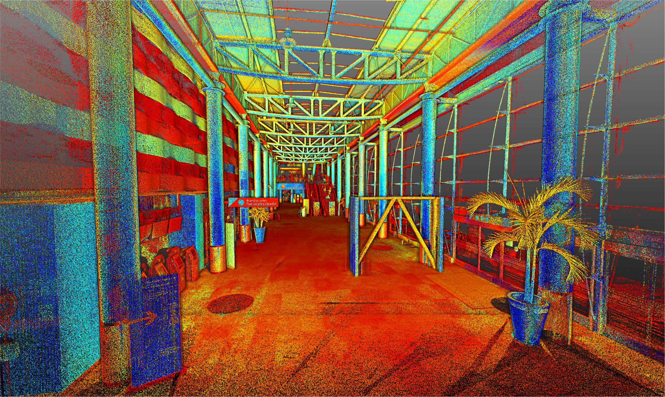
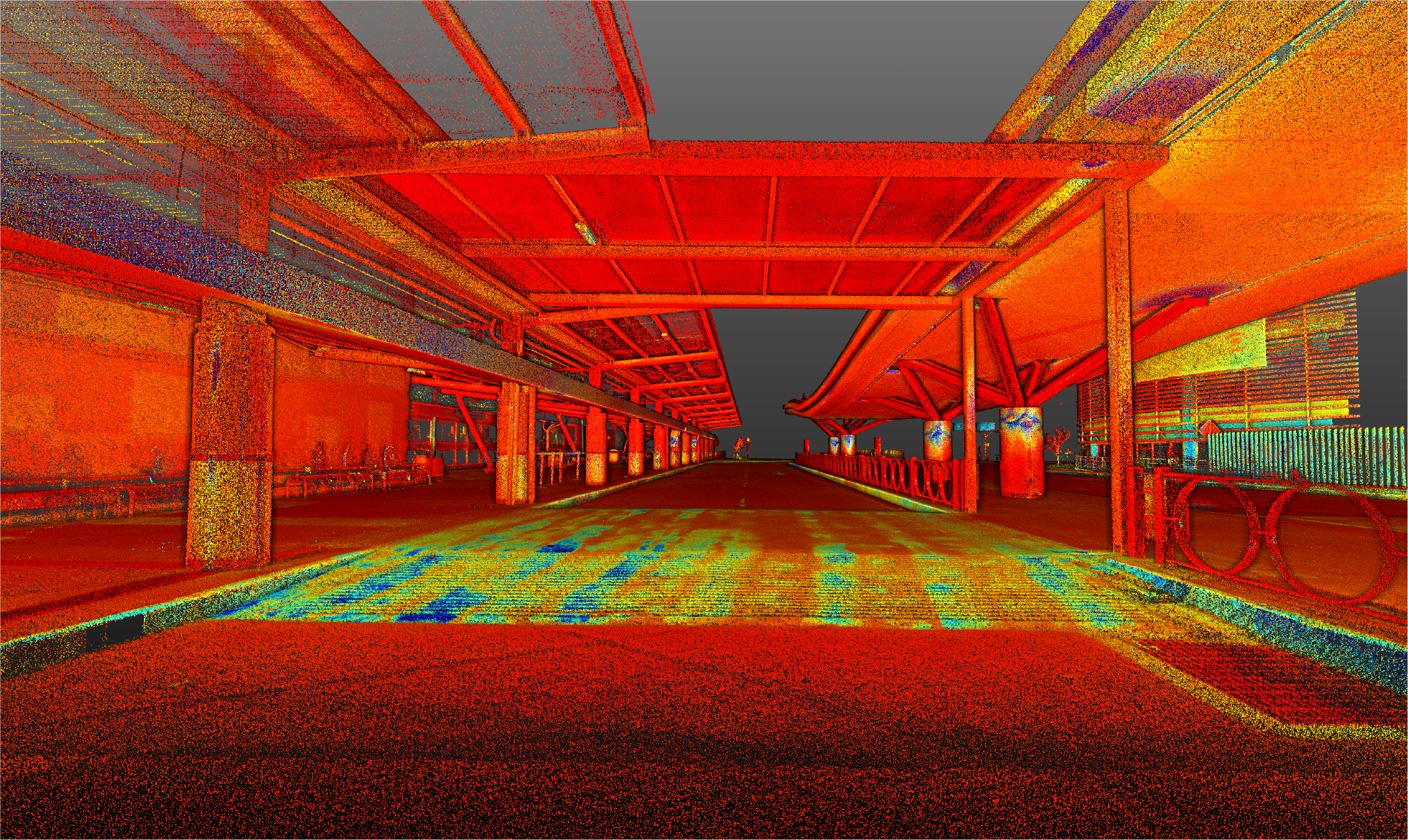
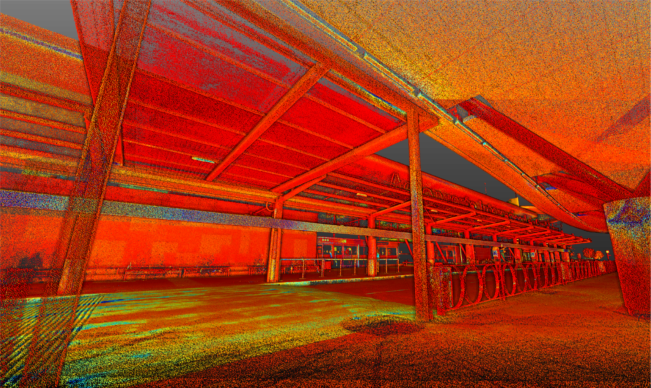
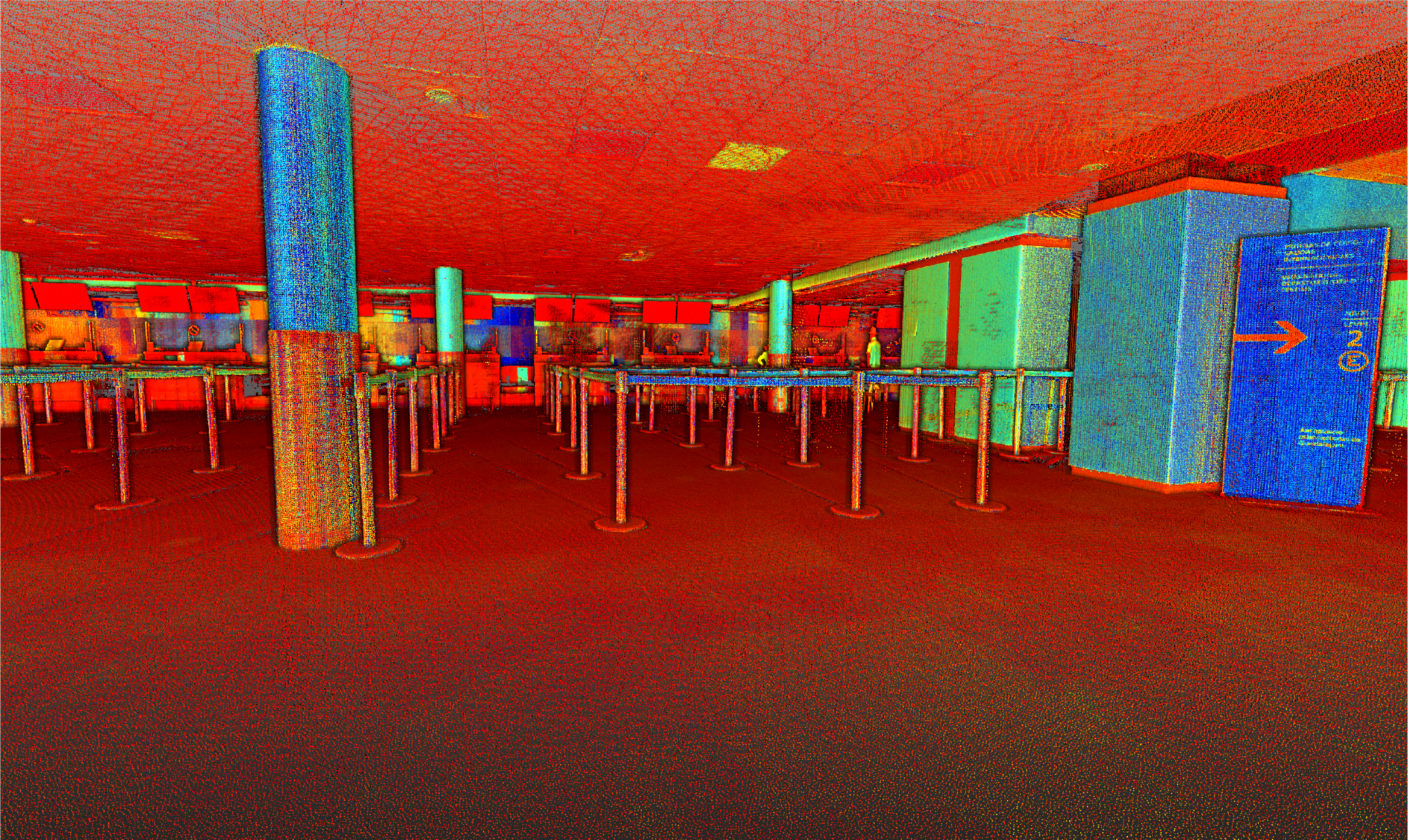
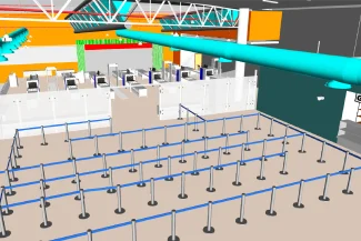
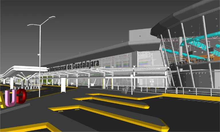
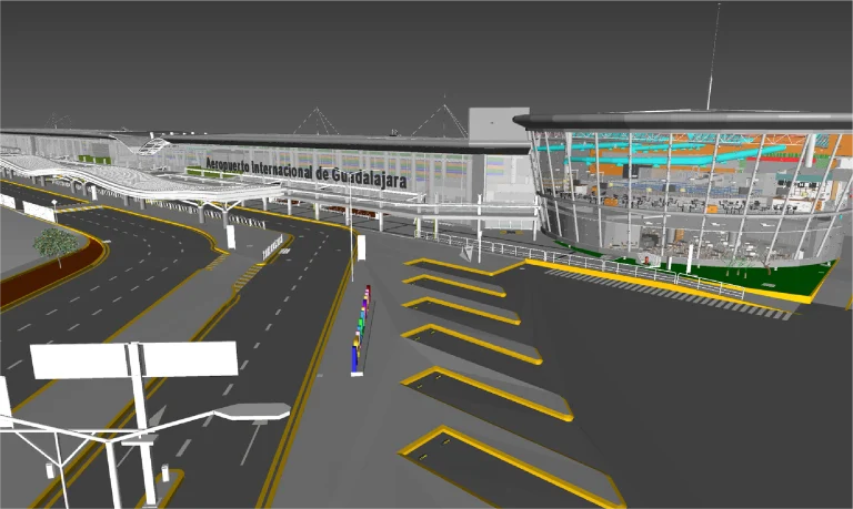
Terrestrial laser scanning was used to record the airport infrastructure with high precision, generating a detailed point cloud.
Thanks to this survey, an accurate record of the buildings and their distribution was obtained, providing reliable data for technical studies and digital modeling.
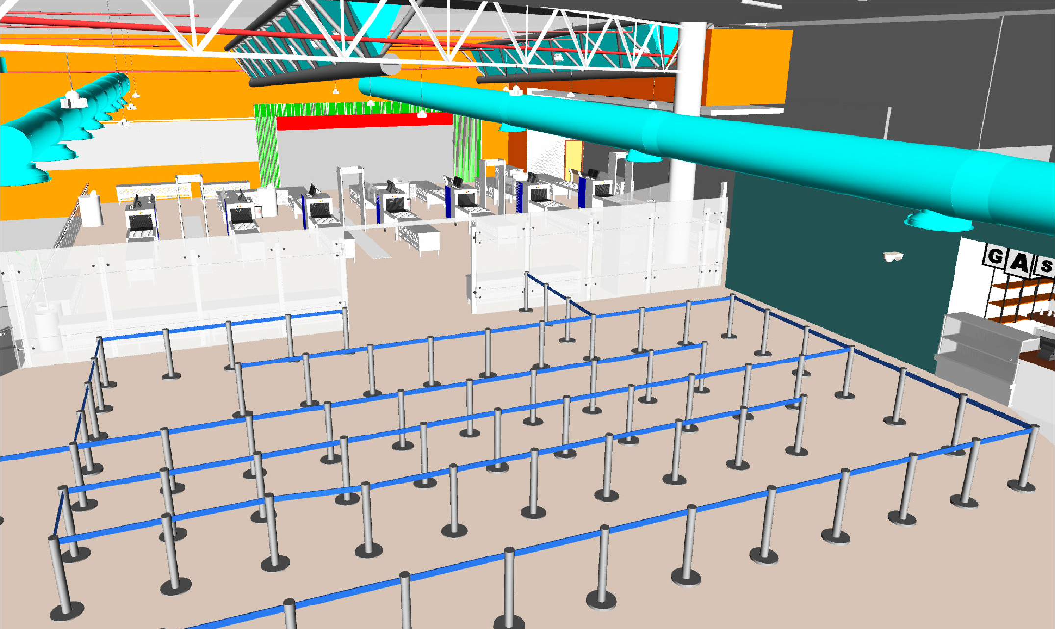
BIM
(Building
Information
Modeling)
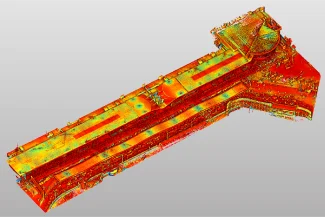
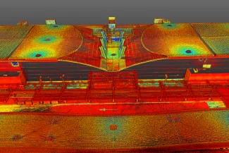
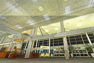
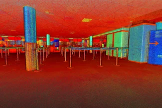
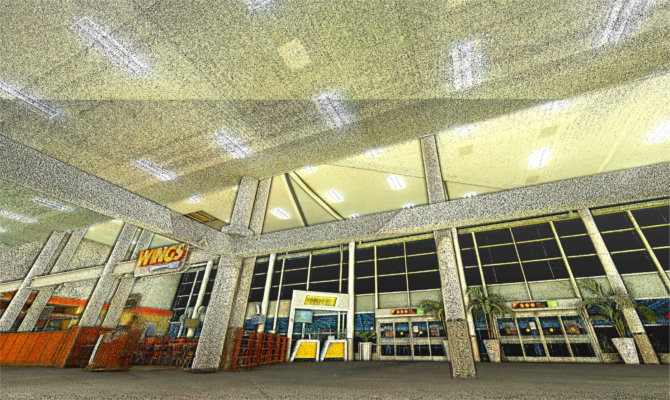
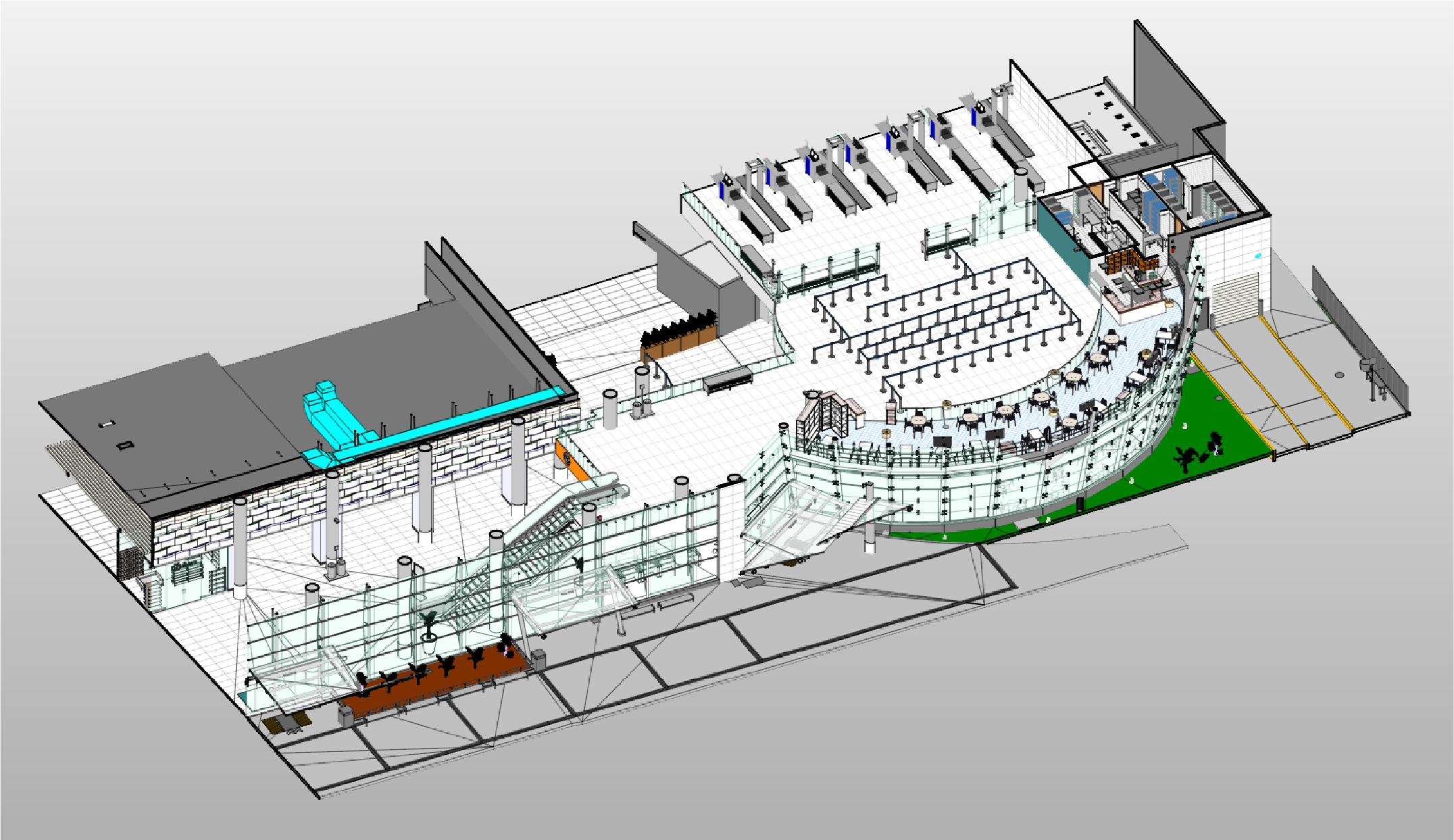
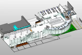
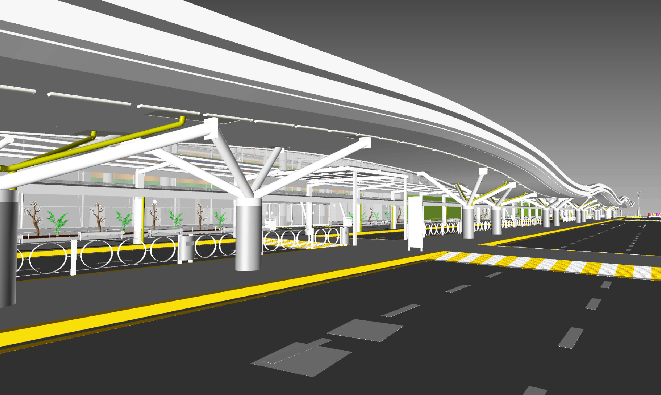
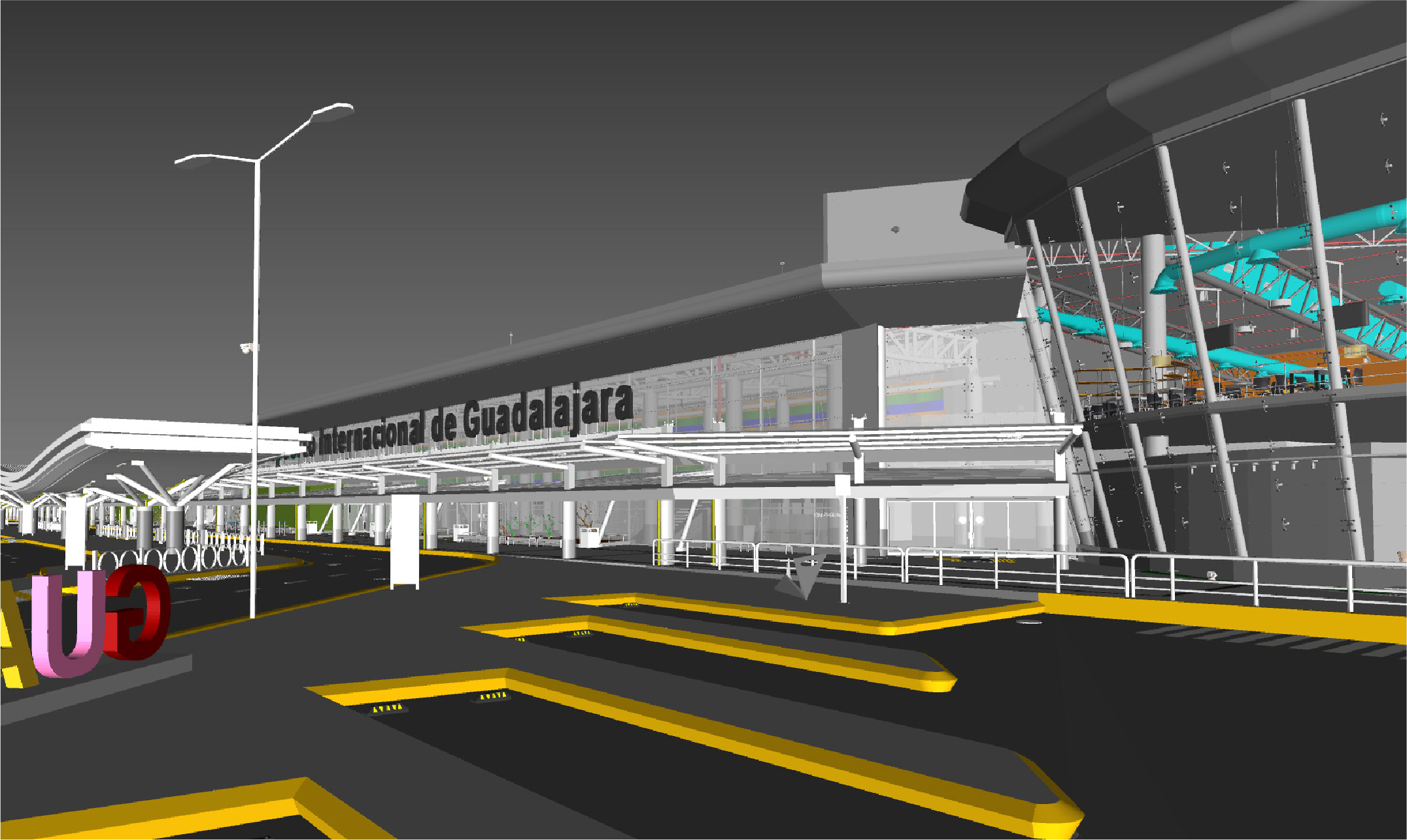
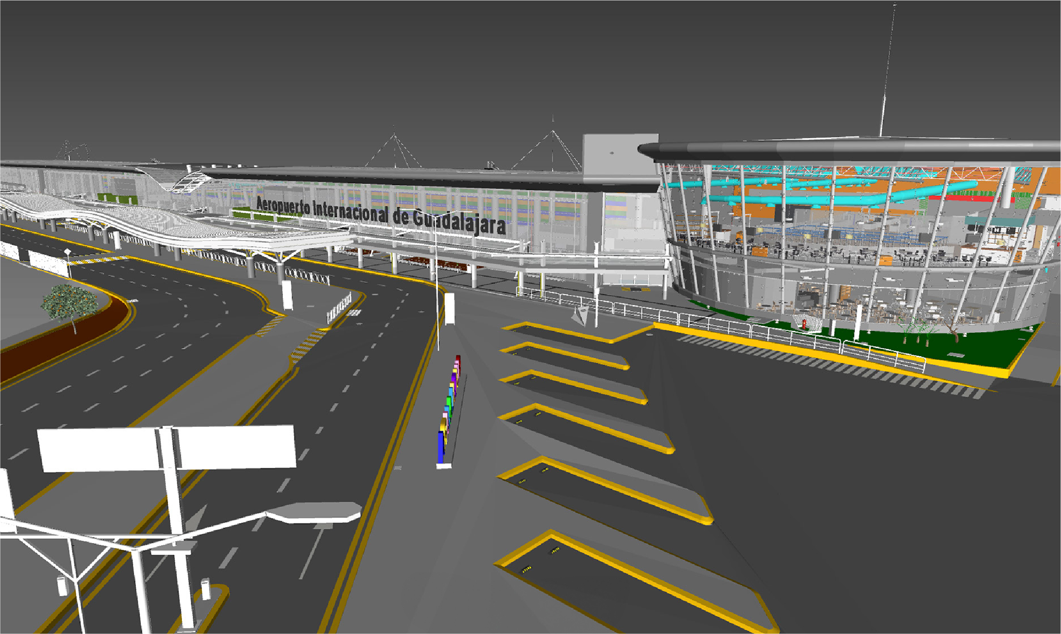
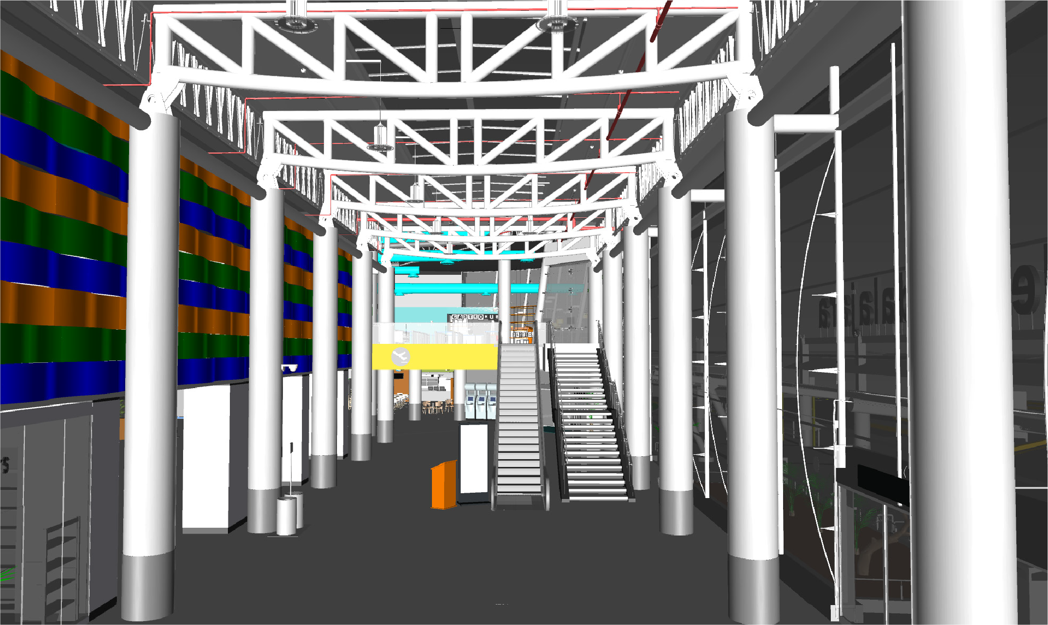
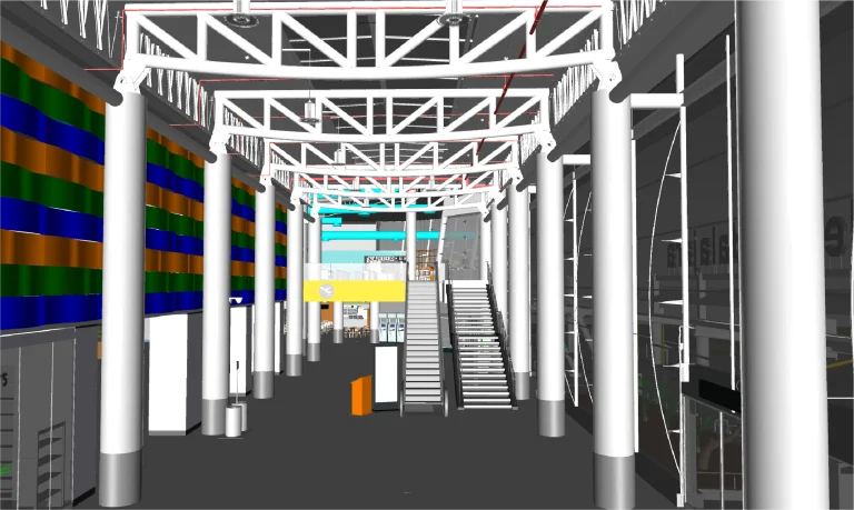
With the point cloud obtained through terrestrial laser scanning, detailed BIM models were developed that comprehensively consolidated all the key information of the airport.
Furthermore, thanks to these models, interdisciplinary coordination was facilitated, while planning was optimized and project control was strengthened, which altogether ensured consistent accuracy at every stage of development.
For Guadalajara Airport, a survey was conducted using terrestrial laser scanning and the generation of BIM models to accurately document the buildings and their perimeter. The information gathered enabled more efficient planning, improving project management and analysis.
REALITY CAPTURE
Terrestrial Laser Scanning
The terrestrial laser scanning captured the airport’s infrastructure with high precision, generating a detailed point cloud. This survey provided an accurate record of the buildings and their layout, offering reliable data for technical studies and digital modeling.
DIGITAL MODELS
BIM
(Building Information Modeling)
Using the obtained point cloud, BIM models were created that consolidated all key information about the airport. These models facilitated interdisciplinary coordination, optimized planning, and improved project control, ensuring accuracy at every stage of the development.