In this project, Reality Capture was carried out to accurately document the steel structure in the construction of an airport.
Thanks to this process, detailed data was obtained that made it possible to optimize planning and improve project execution, reducing risks and ensuring greater control at every stage of development.
Client:
NAICM
Location:
Texcoco,
México
Year:
2018
CAPTURE
OF REALITY
SCANNING
TERRESTRIAL LASER
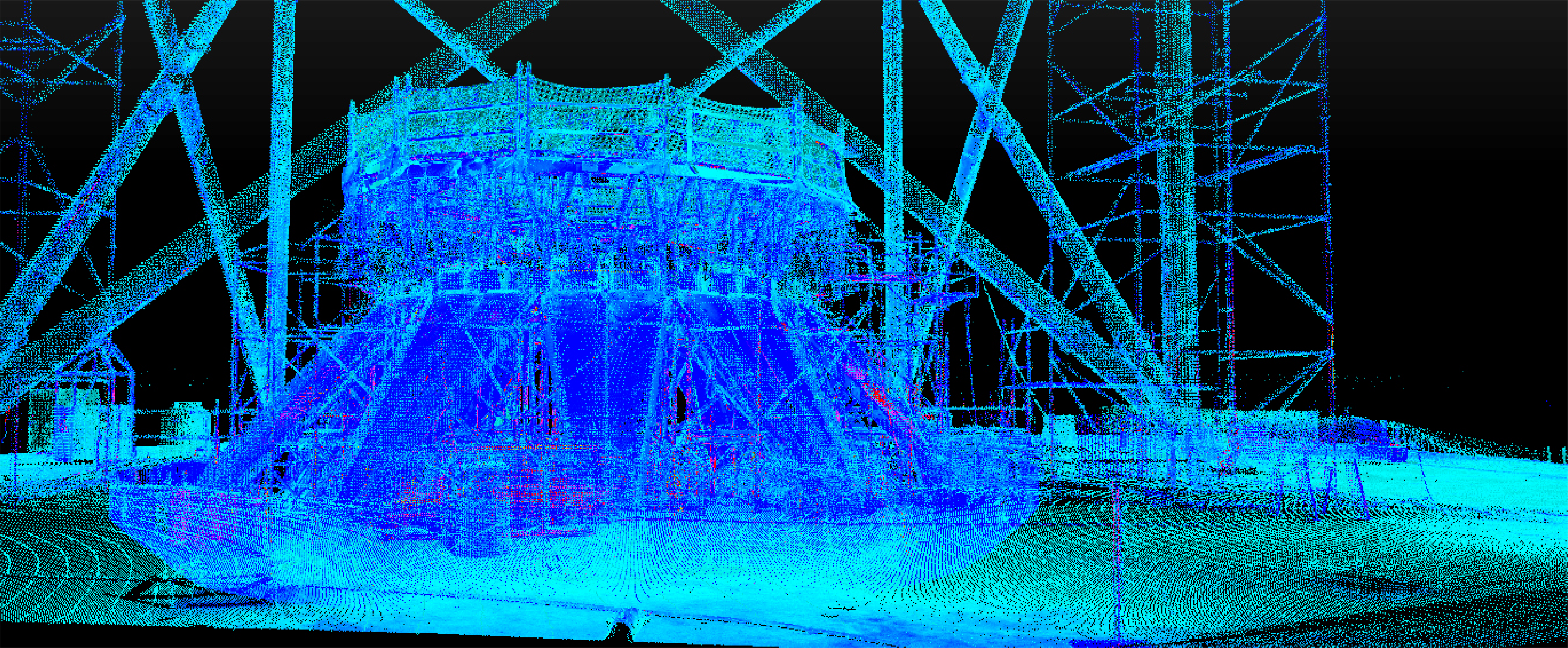
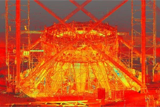
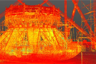
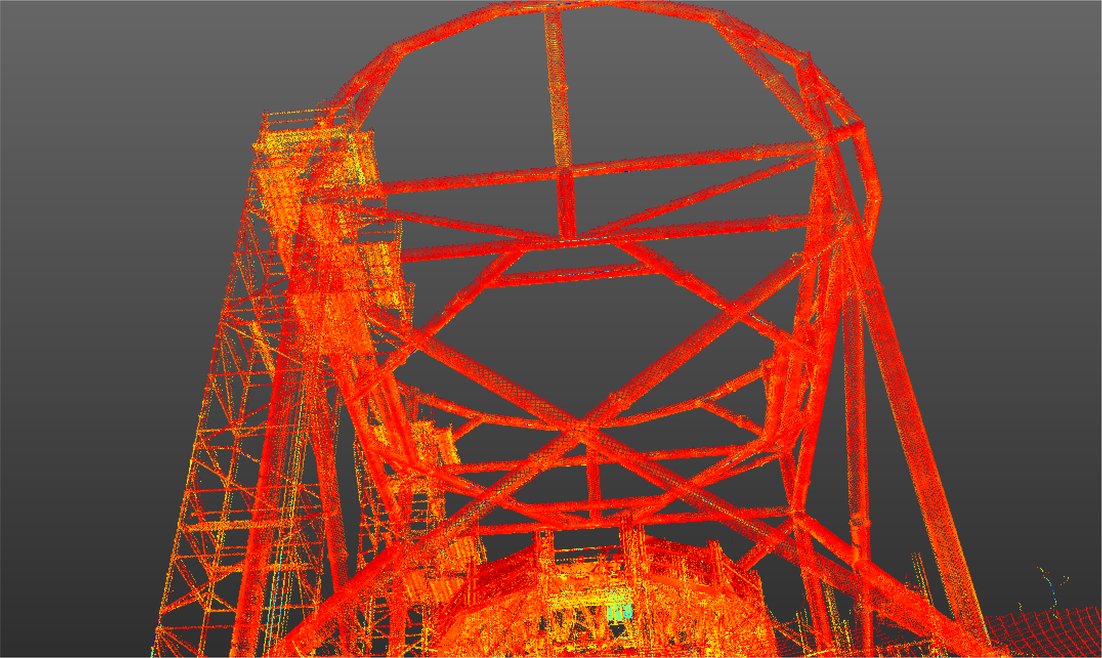
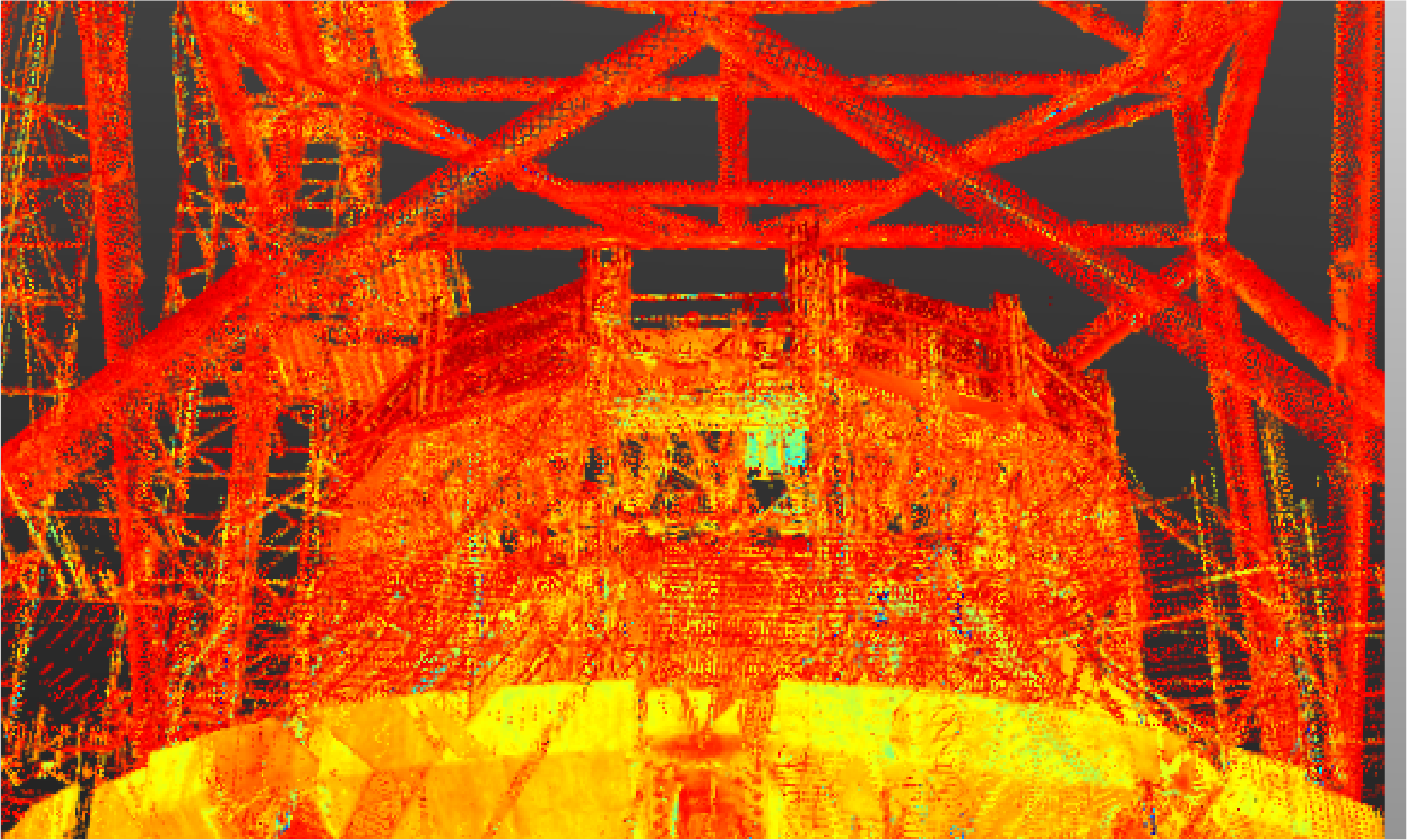
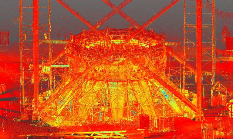
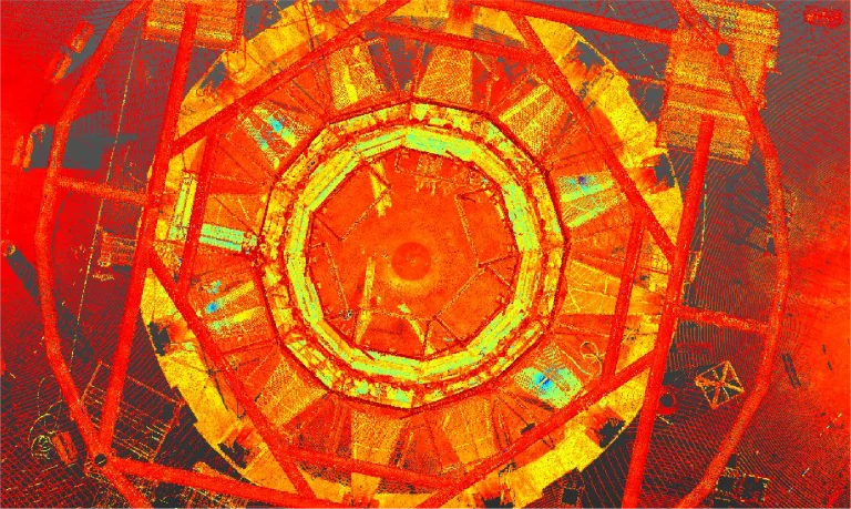
In this case, terrestrial laser scanning captured a precise point cloud that accurately recorded the geometry and layout of the steel structure.
Thanks to this information, it was possible to ensure accuracy in the documentation and facilitate coordination during the airport construction, ensuring greater efficiency and reducing errors throughout the process.
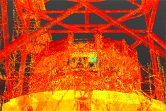
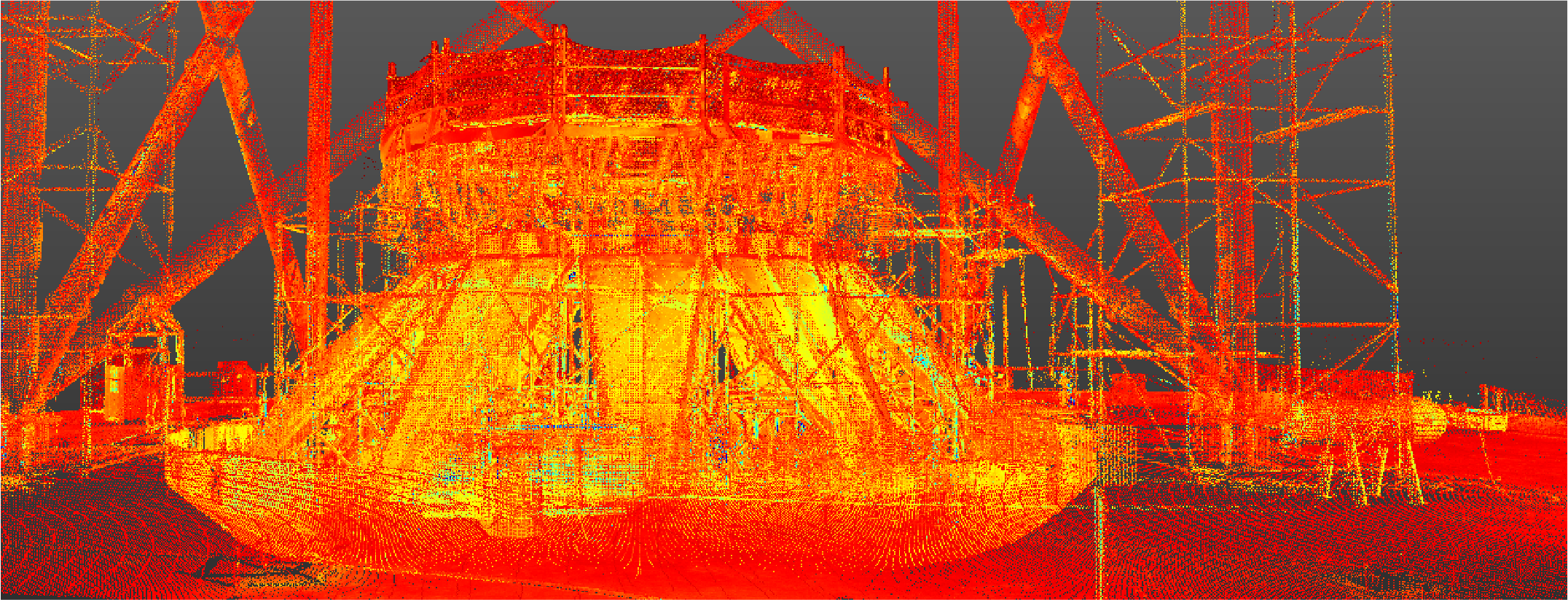
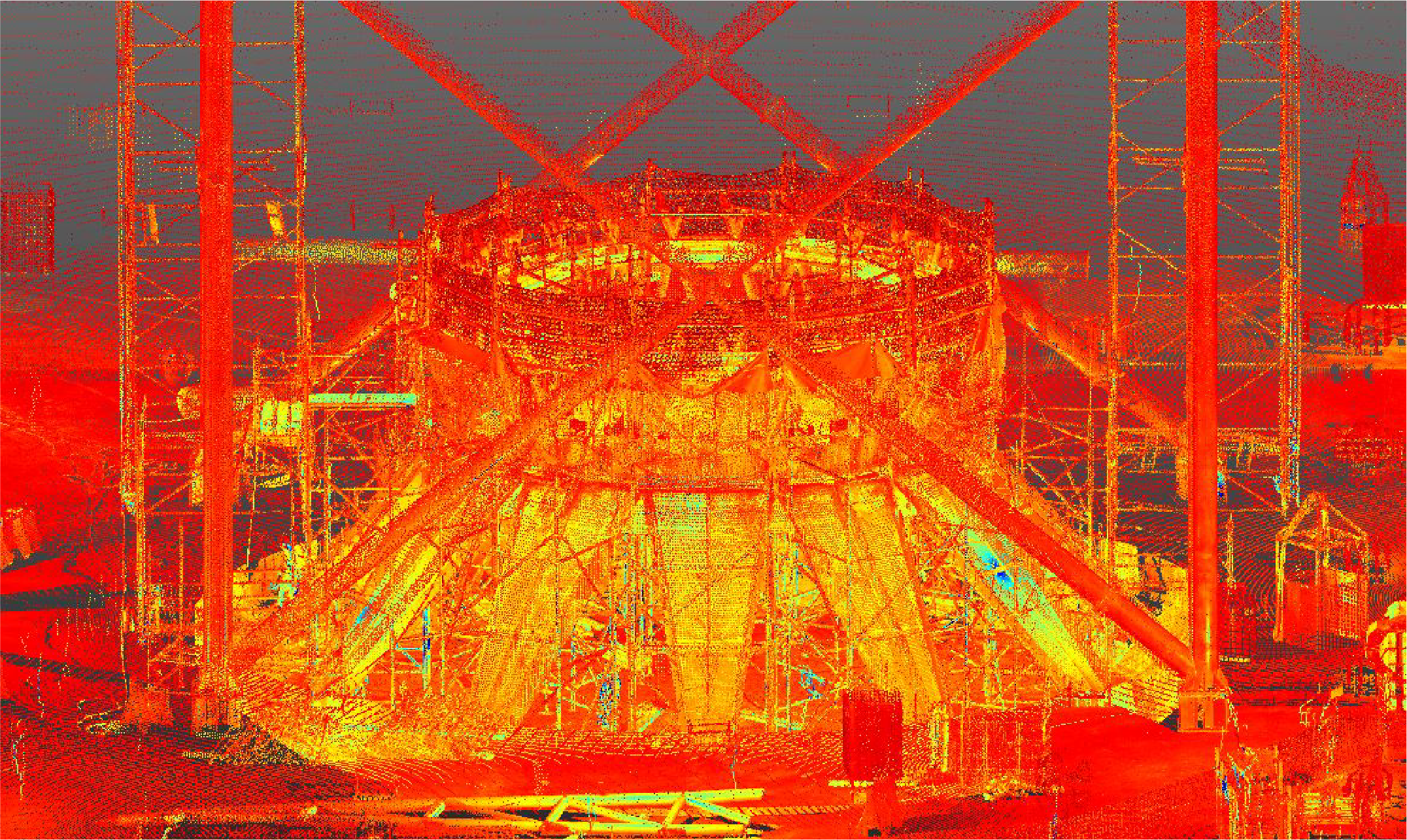
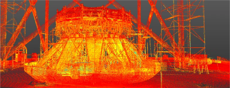
Reality capture was conducted to accurately document the metal structure in the construction of an airport. This process provided detailed data to optimize project planning and execution.
REALITY CAPTURE
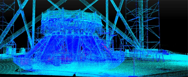
Terrestrial Laser Scanning
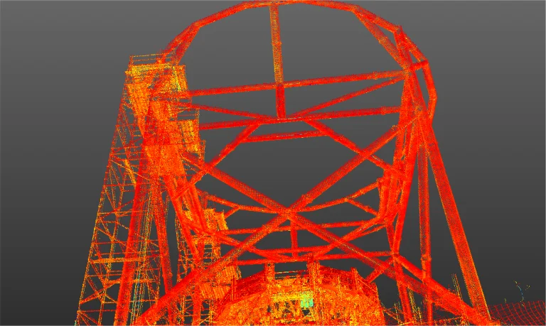
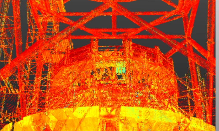
Terrestrial laser scanning captured a precise point cloud that recorded the geometry and layout of the metal structure. This information was key to ensuring accuracy in documentation and facilitating coordination in the airport’s construction.