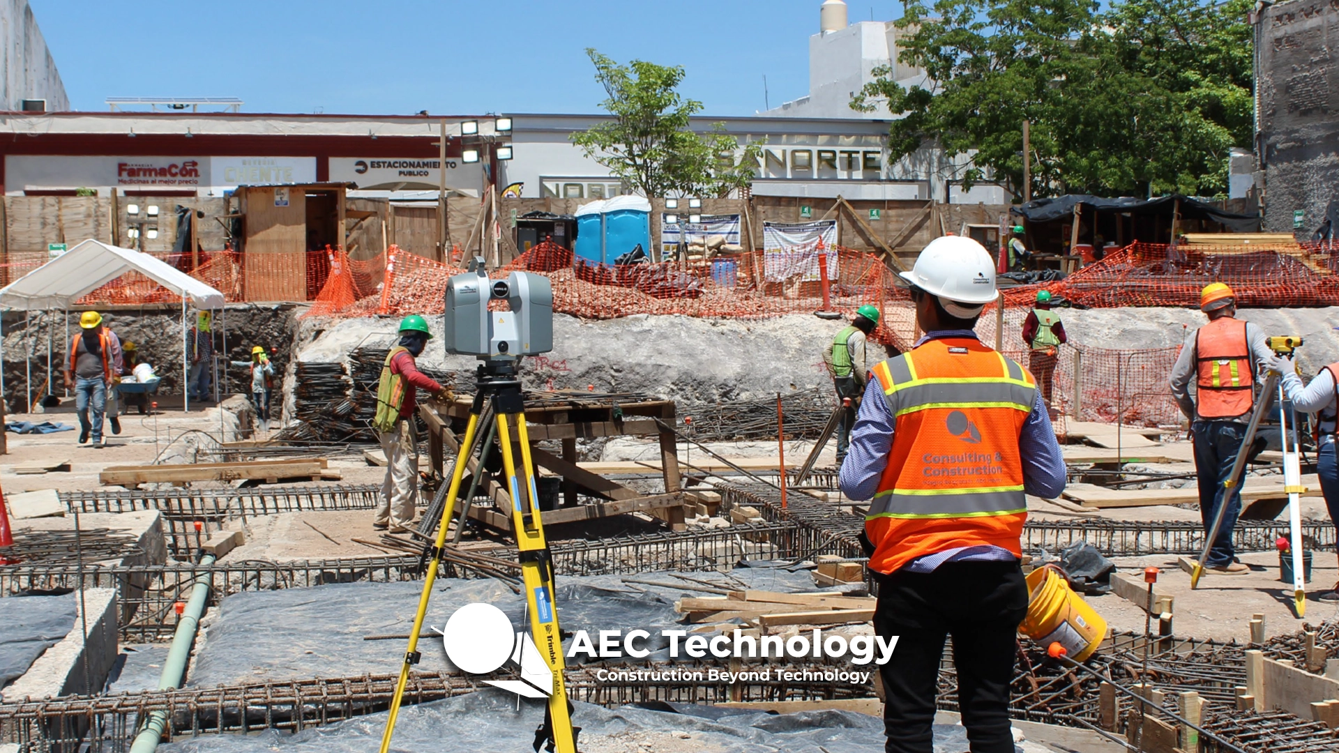
Coordination and Supervision of Work implementing BIM and Lean Construction....
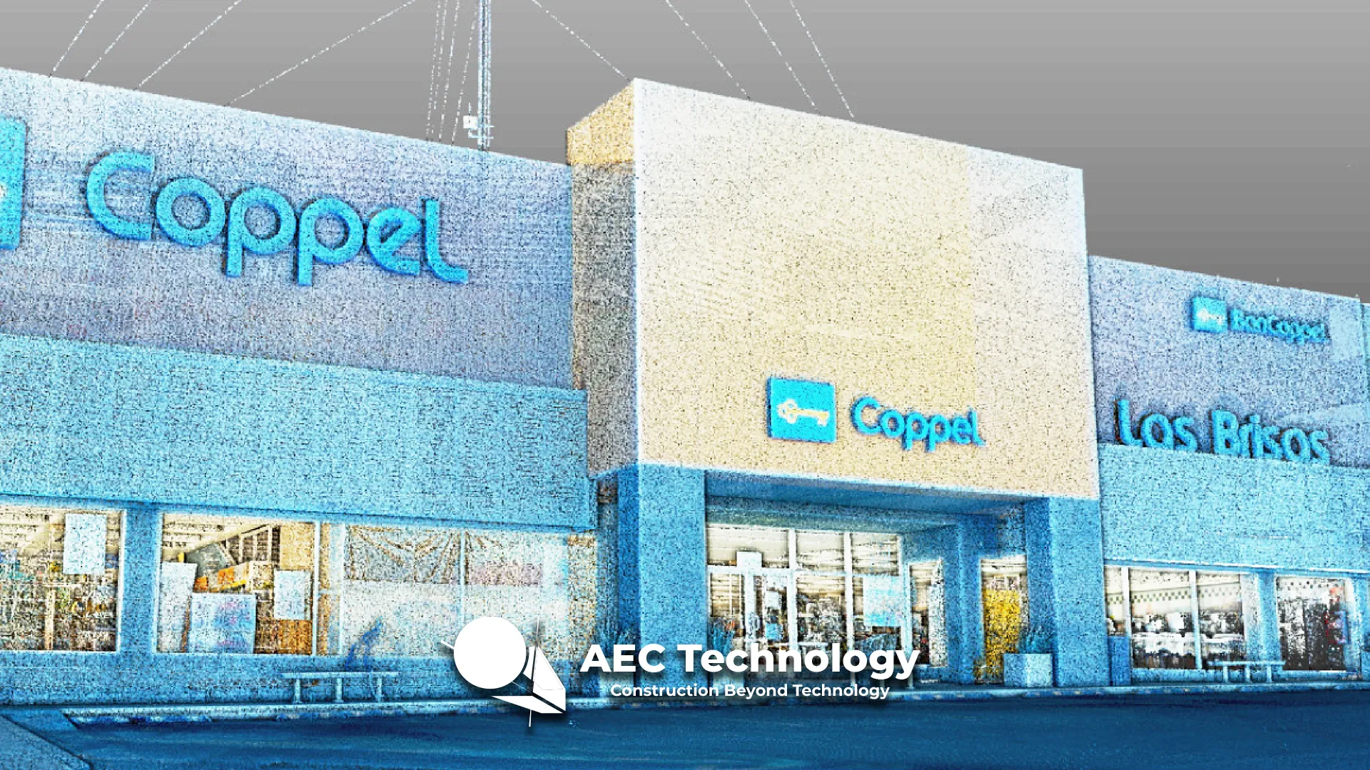
Coppel Brisas Department Store
Proposal of technologies for identifying needs in operational stores selected for remodeling and pilot test development....
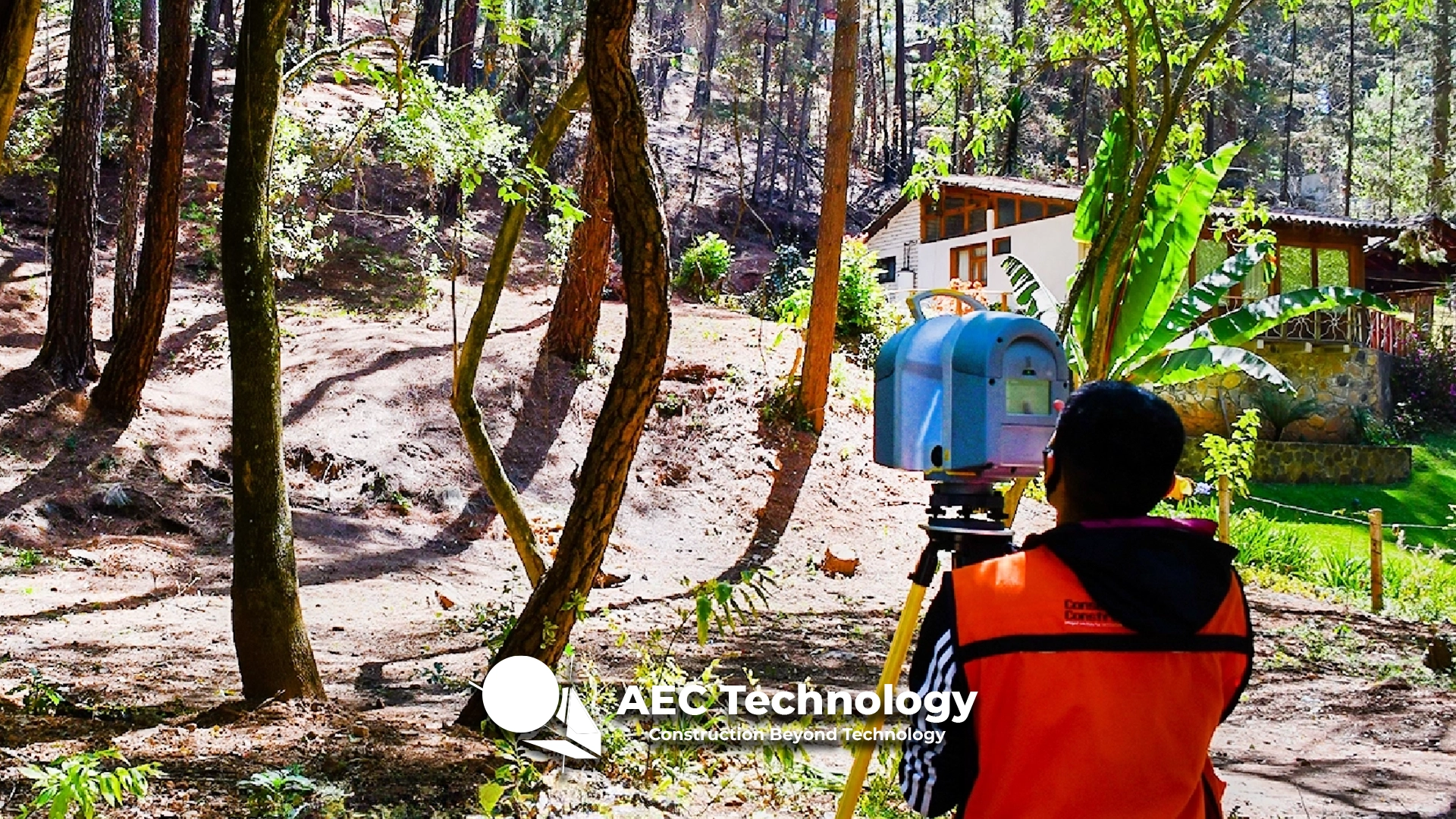
Topographic Survey – Los Cazos 15
A topographic survey was carried out using terrestrial laser scanning, generating contour lines, slope analysis, volume calculations, and a 3D model representing the terrain beneath...
Coppel Department Store
Proposal of technologies for identifying the needs of operational stores selected for remodeling and pilot testing development....
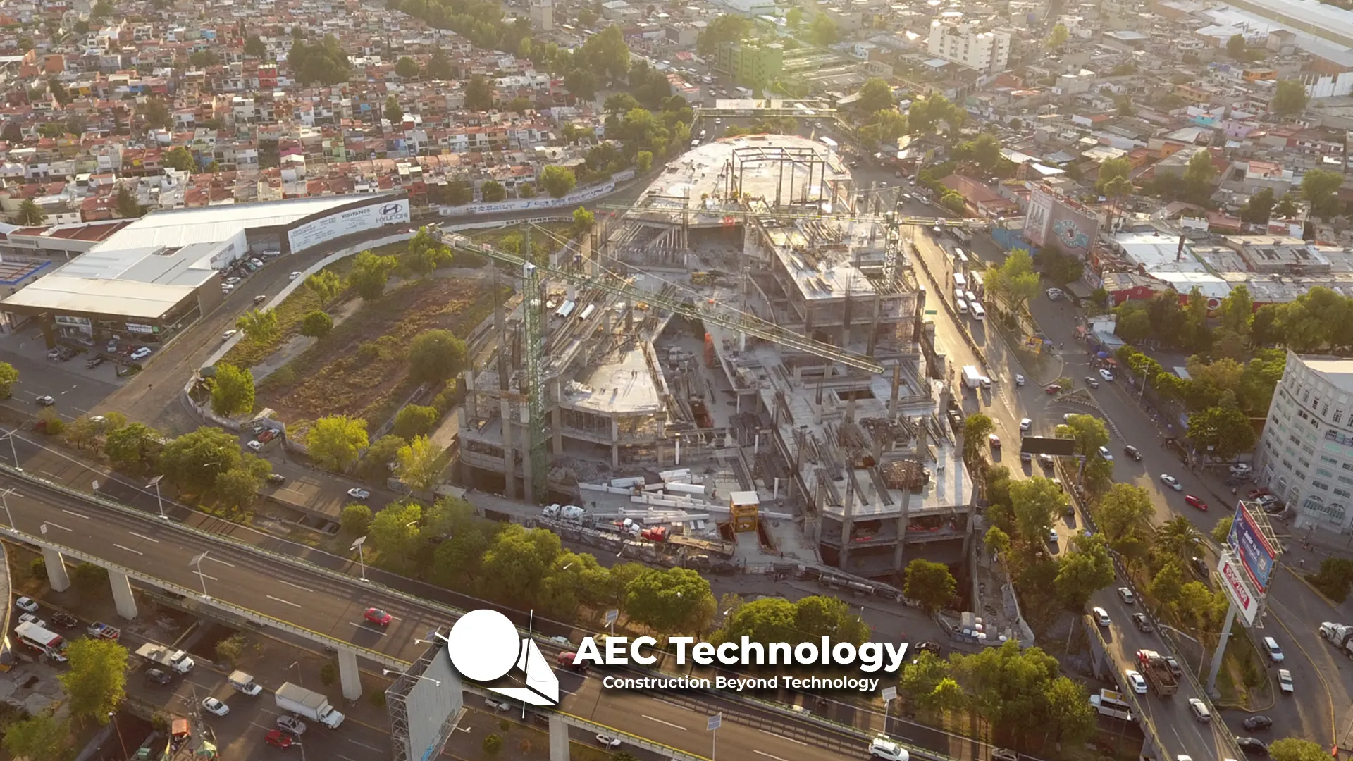
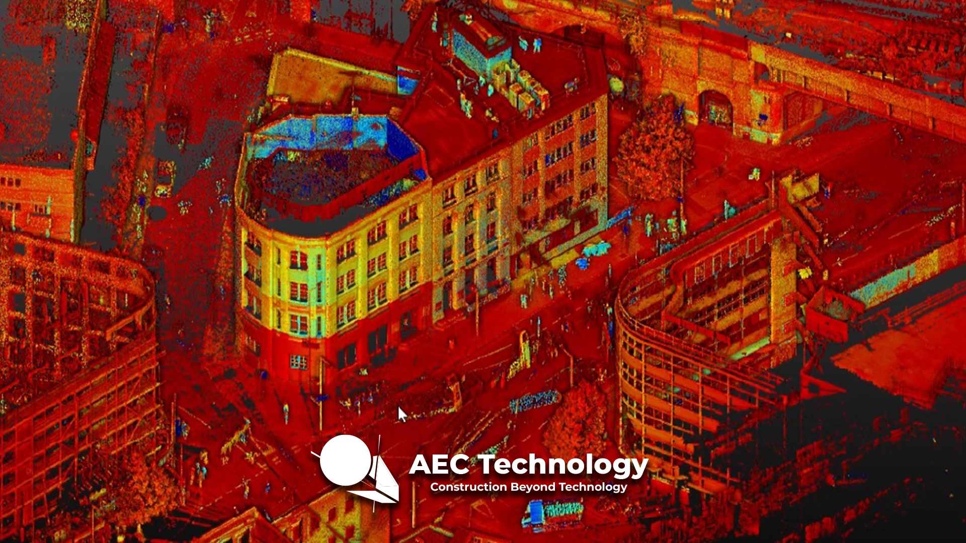
GGM 115 Building
Survey with terrestrial laser scanner to generate As-Built plans, documenting the actual site conditions through high-precision 3D data capture....
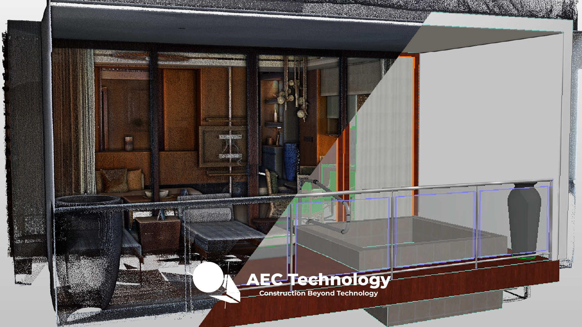
Vidanta Group
Reality capture through laser scanning and 360 photography for the development of a BIM model, focused on room design and machinery movement analysis....
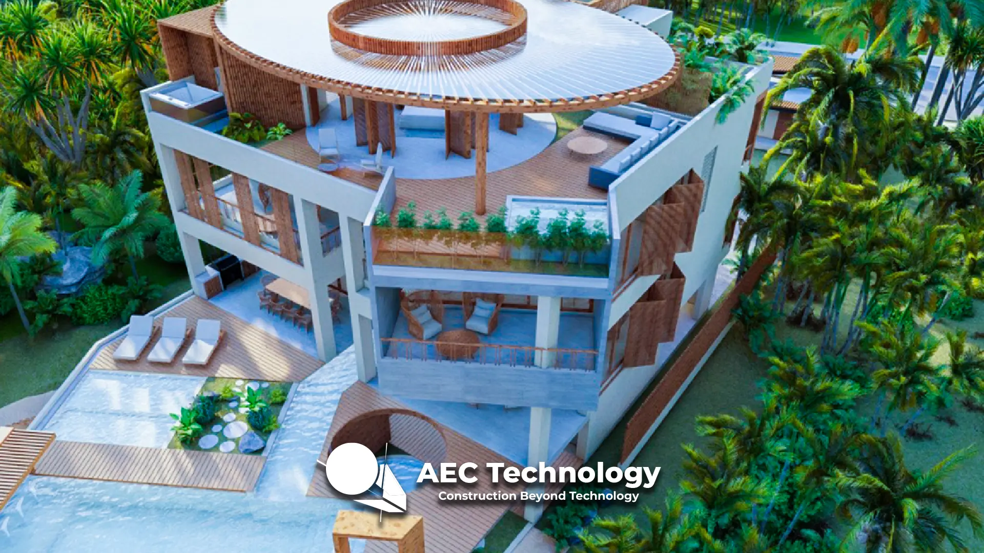
Casa Alebrijes
Reality capture through laser scanning for the generation of a BIM model and construction control, complemented by aerial photography and 360° tours for comprehensive project...
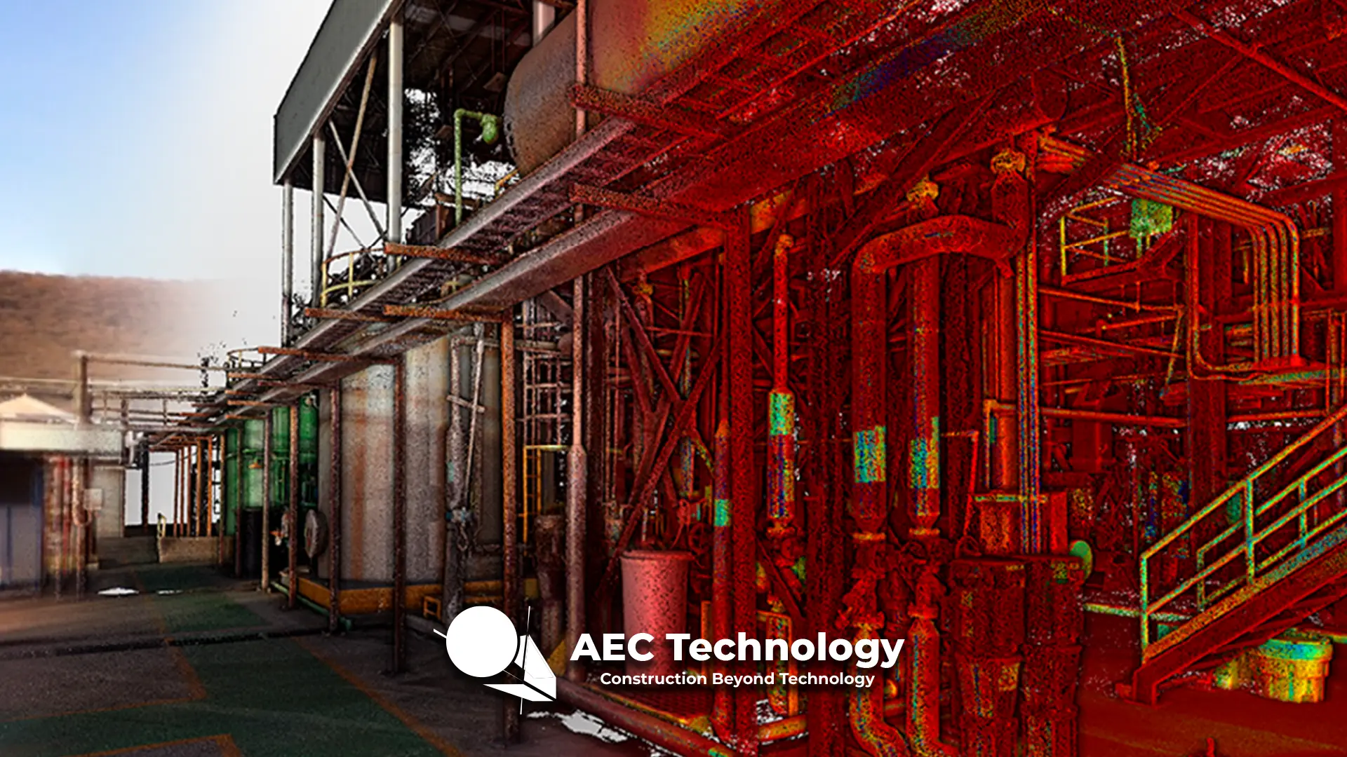
DIAGEO Industrial Plant
Reality capture through laser scanning for the creation of accurate digital twins of the tequila plant, documenting its infrastructure and current conditions in detail....
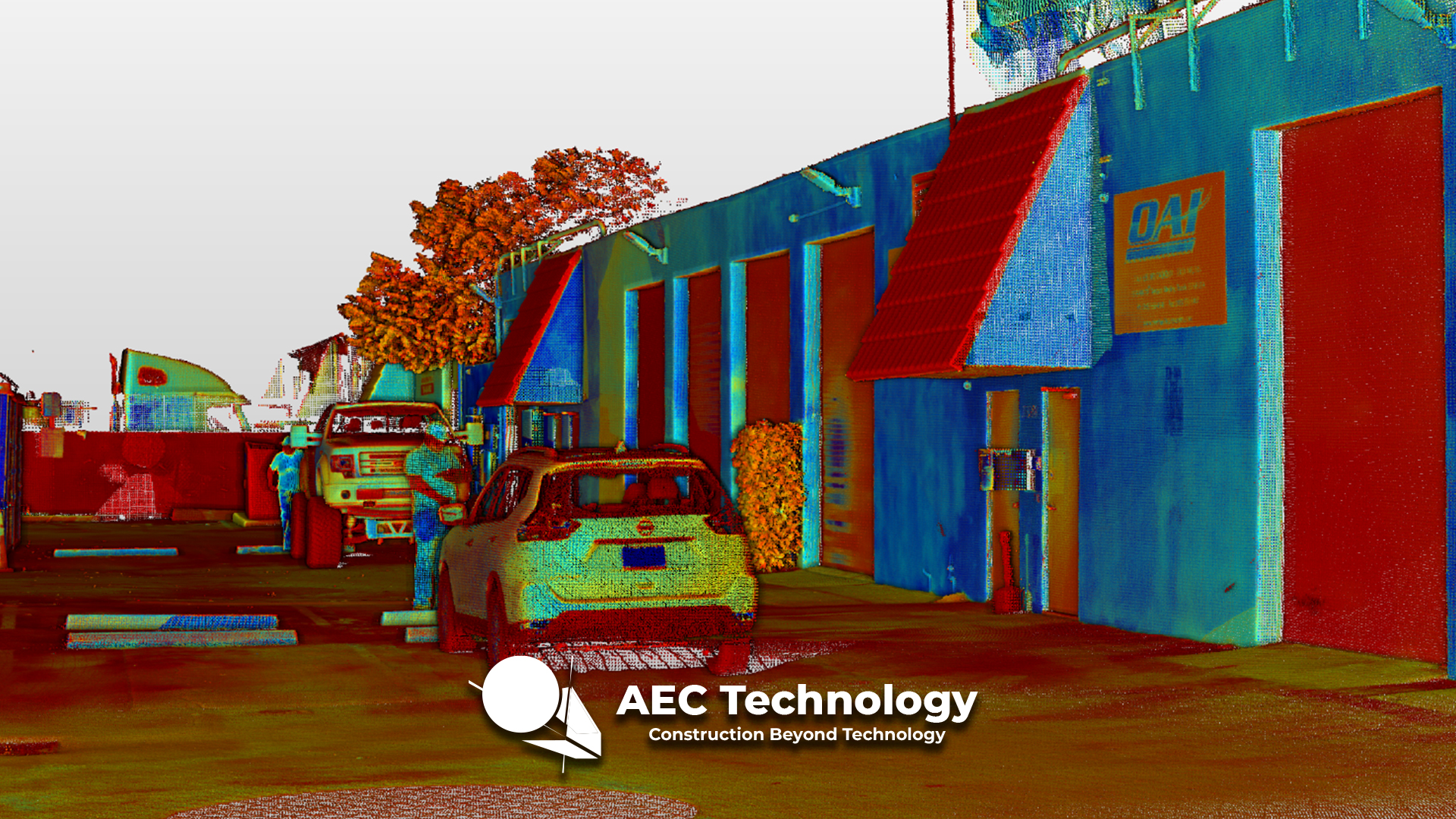
Overhaul Accessory INC. Warehouse
Reality capture through laser scanning to generate high-precision digital twins of the warehouse, documenting its infrastructure and current conditions with detail and accuracy....
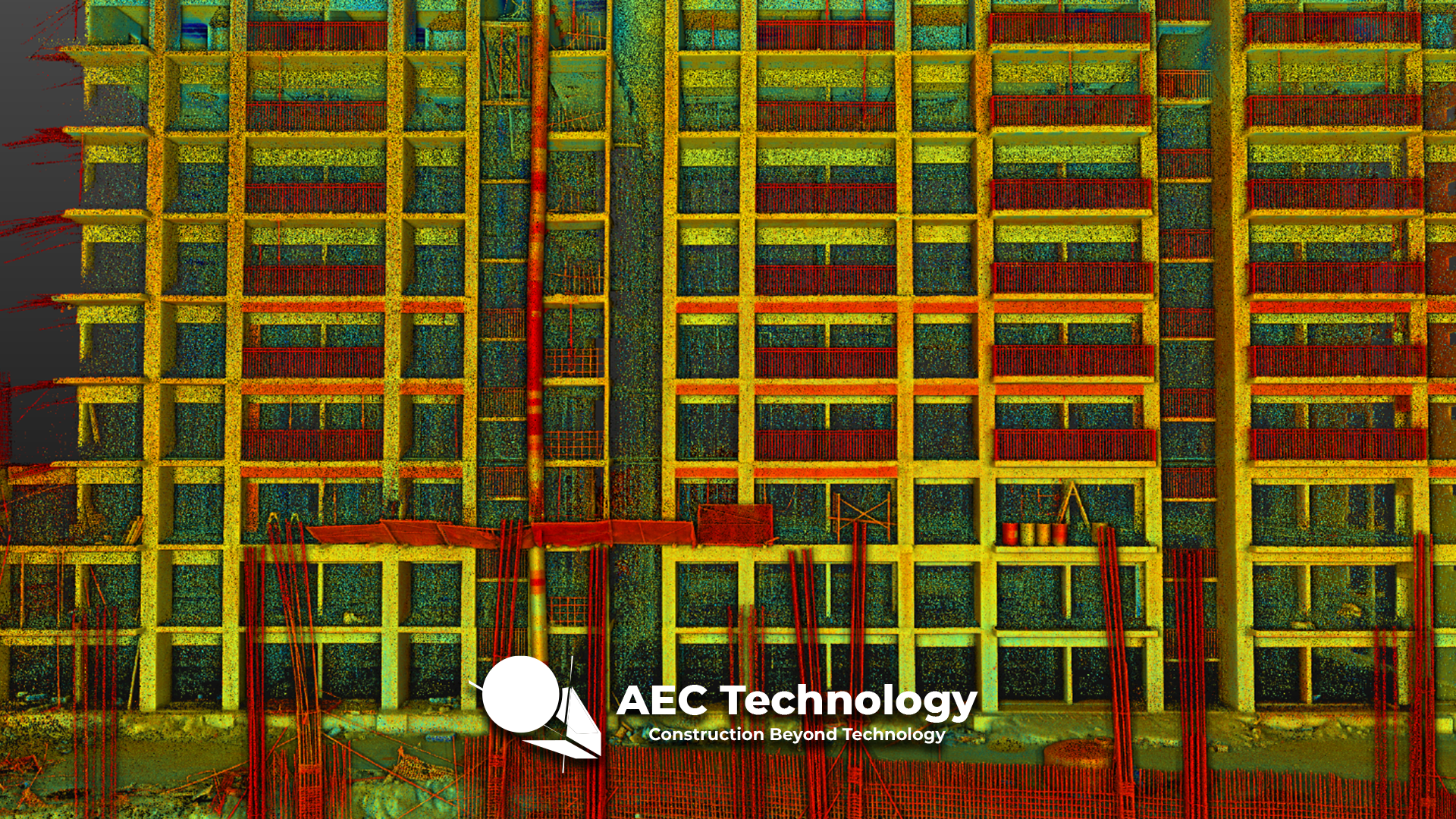
Grand Valbuena Housing Development
"Reality capture through laser scanning to generate a detailed BIM model, documenting the initial conditions of the land and existing structures for the design and...
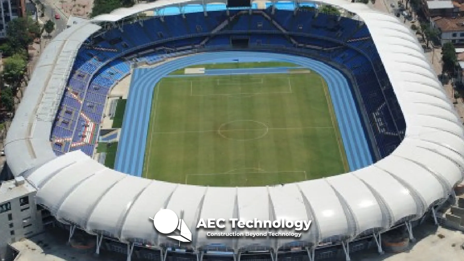
Pascual Guerrero Stadium
In the Pascual Guerrero football stadium renovation project, aerial photography was used for construction monitoring, capturing high-resolution images that documented project progress from a comprehensive...
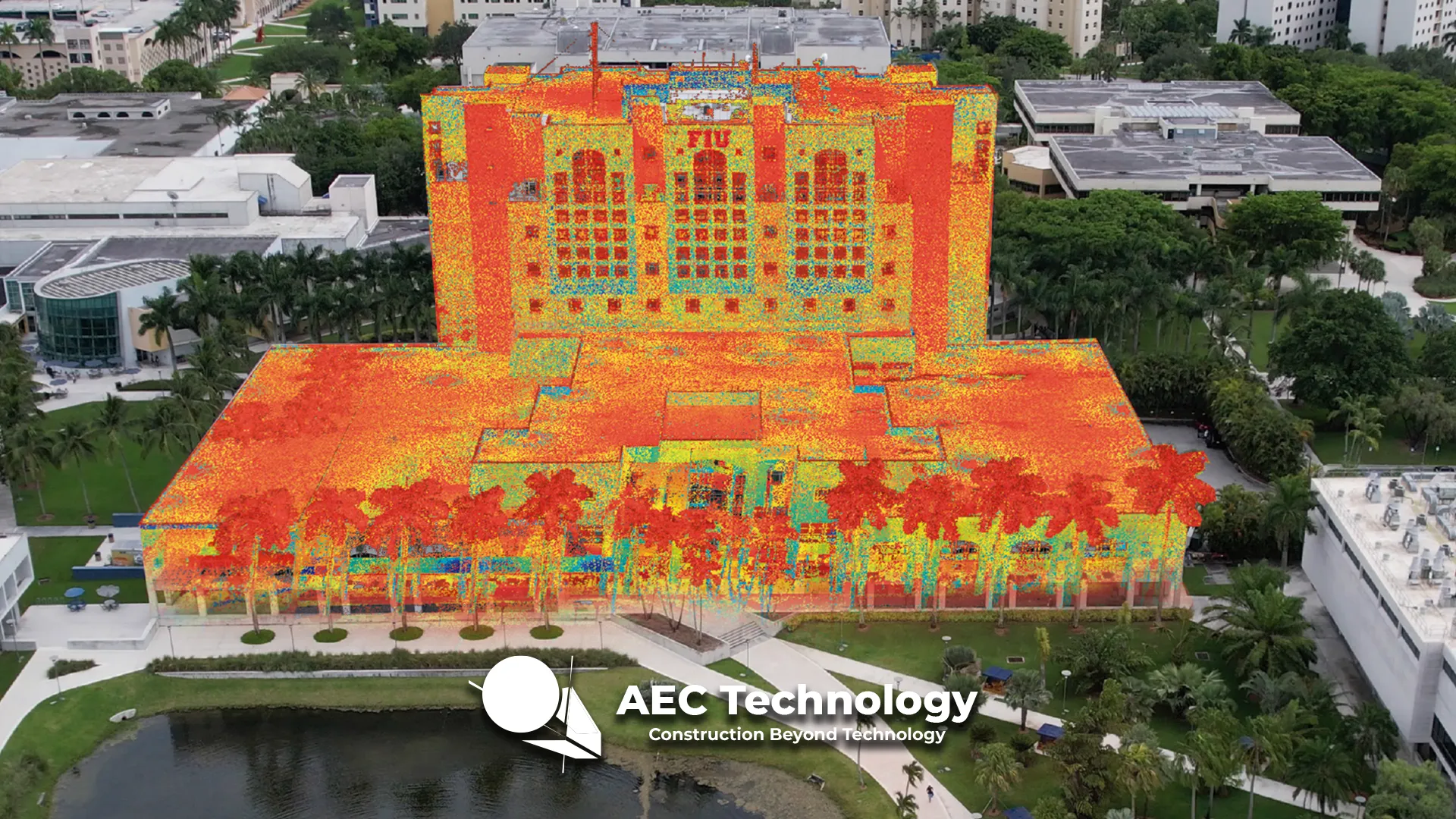
Florida International University
Reality capture through laser scanning and aerial photography for the documentation of university campus areas, accurately recording its infrastructure and surroundings for analysis, planning, and...