In Phase I of the project, Reality Capture was carried out through terrestrial laser scanning, and BIM models were developed as part of the support in pre-construction activities and construction supervision.
Thanks to these tools, precise and detailed information was obtained, which made it possible to optimize planning, improve design, and ensure a more efficient project execution, guaranteeing control and risk reduction at every stage.
Client:
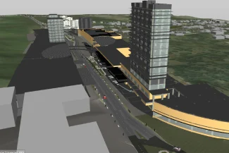
Punto Sur Shopping Center
Location:
Tlajomulco,
México
Year:
2018
REALITY
CAPTURE
DIGITAL
MODELS
TERRESTRIAL
LASER SCANNING
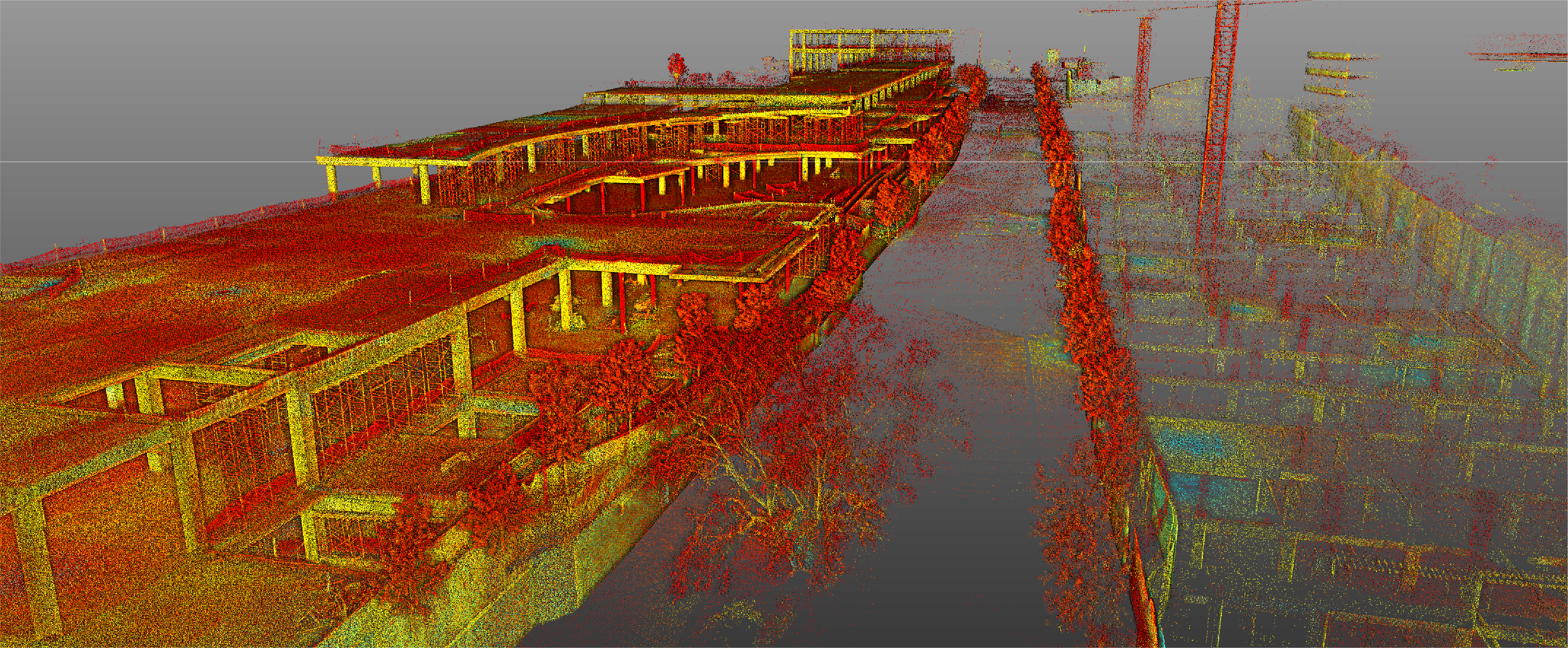
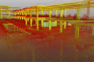
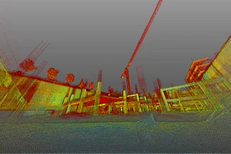
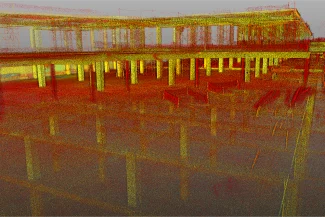
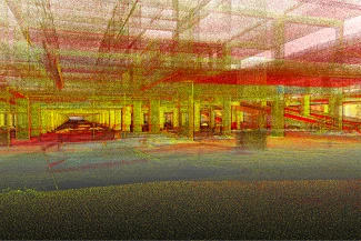
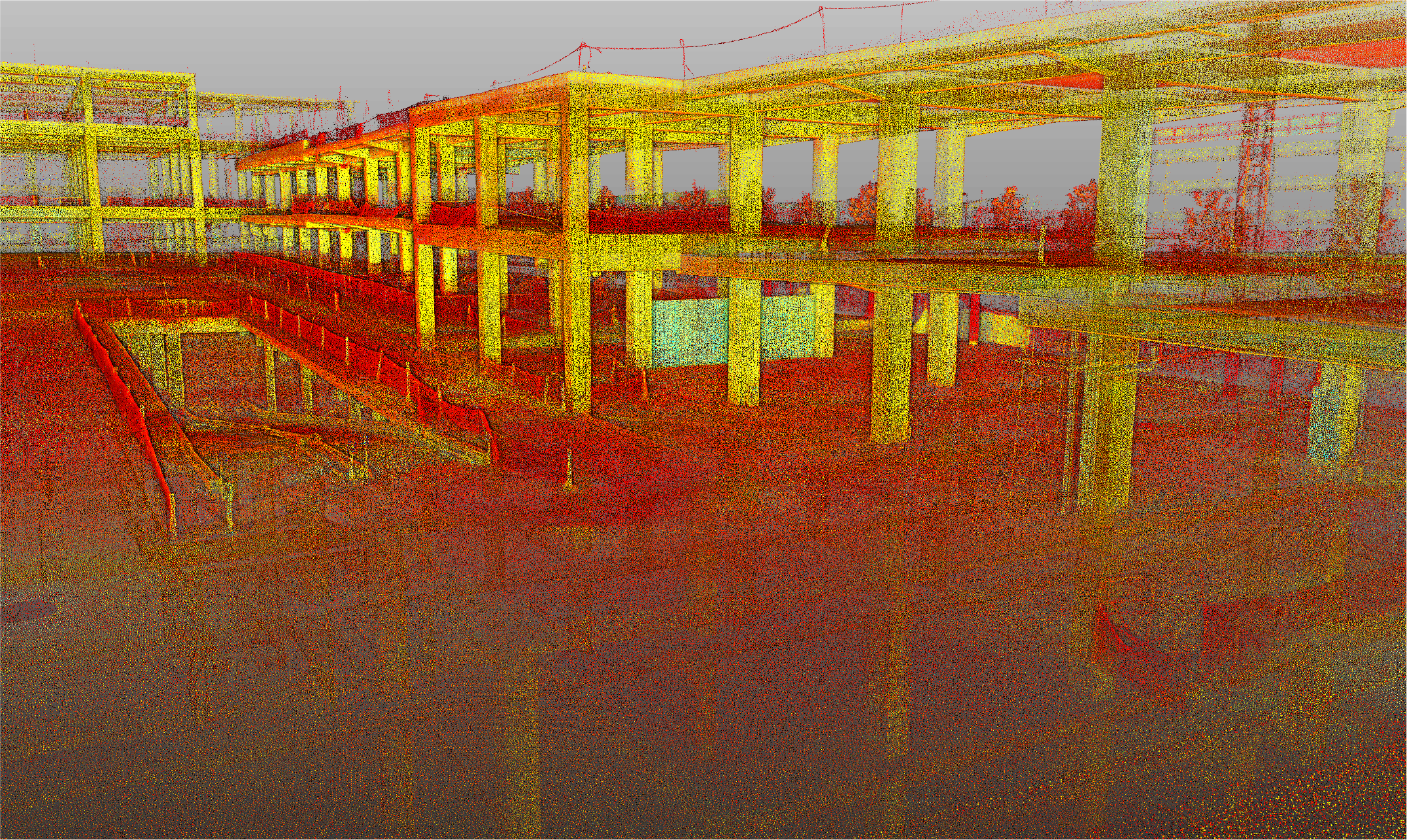
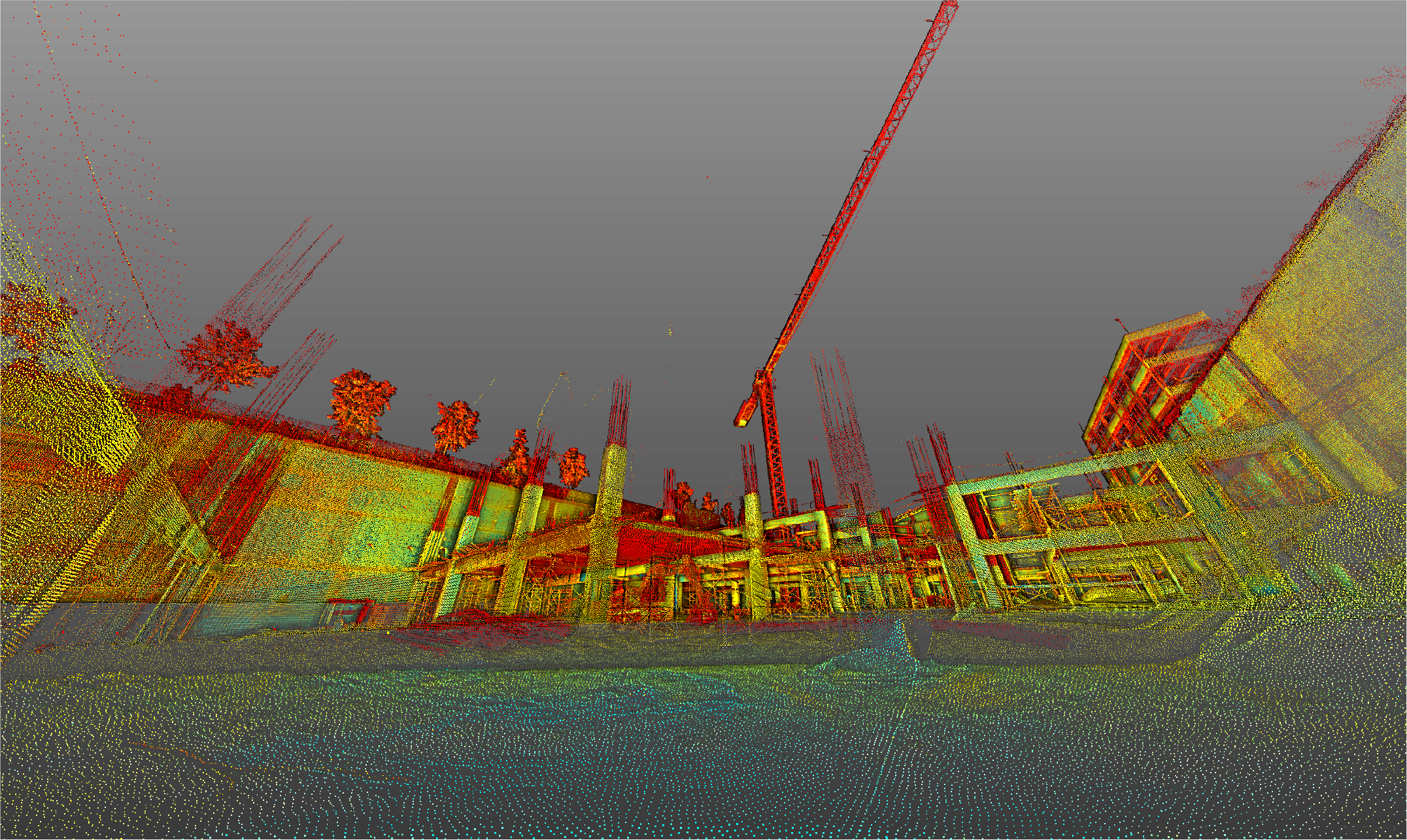
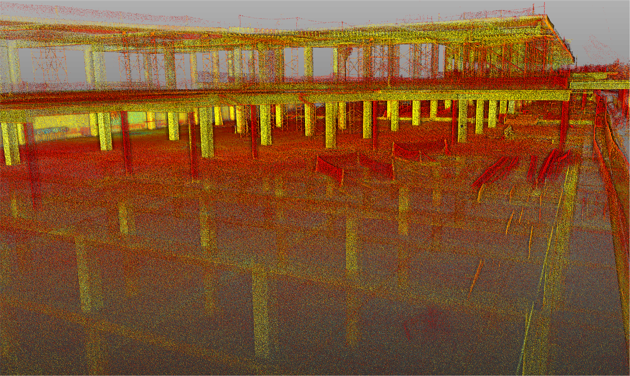
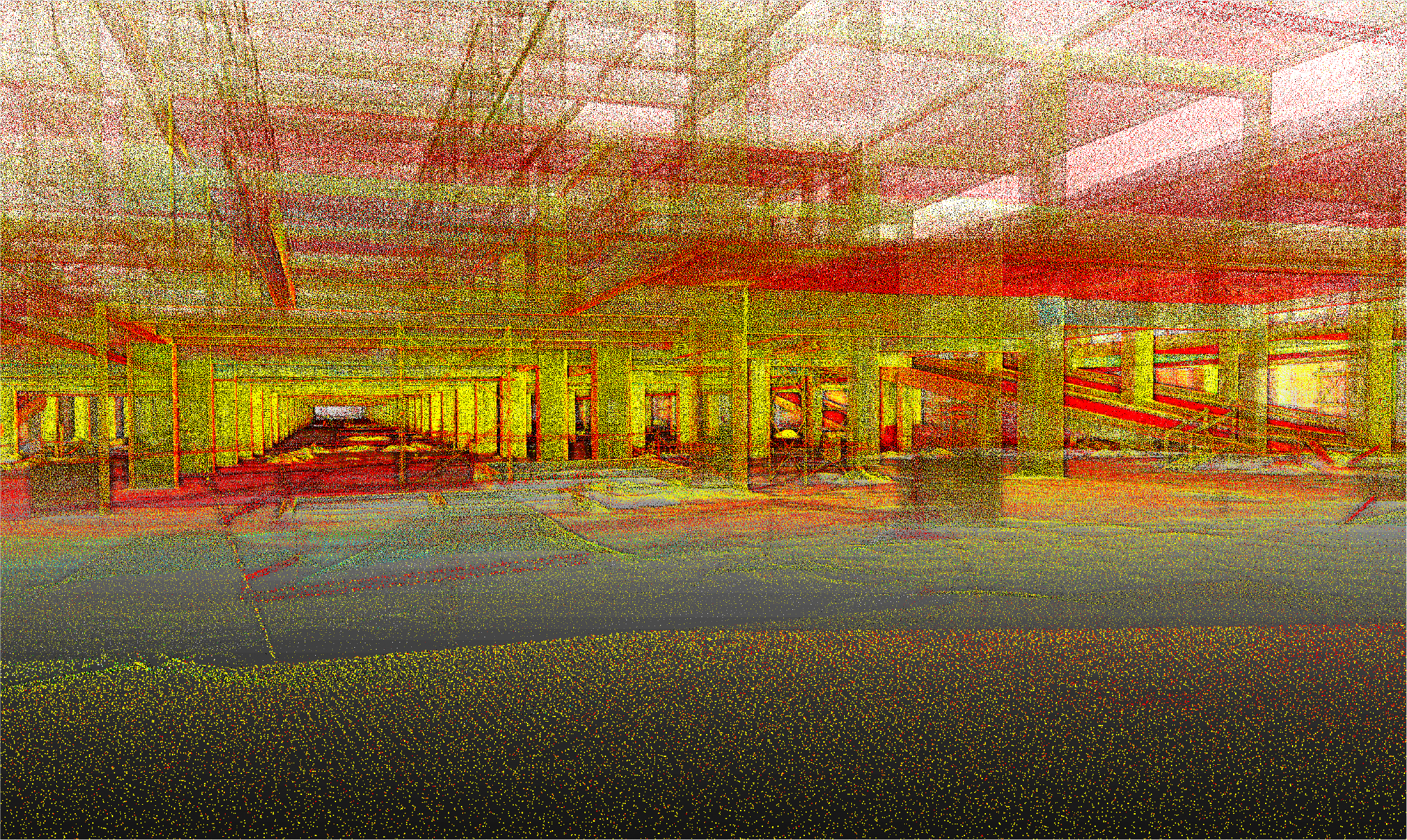
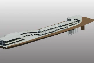
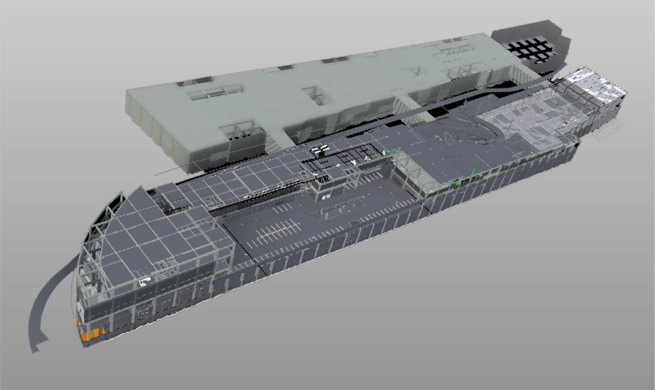
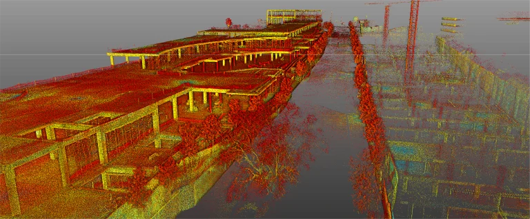
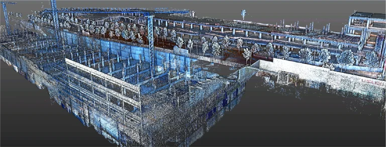
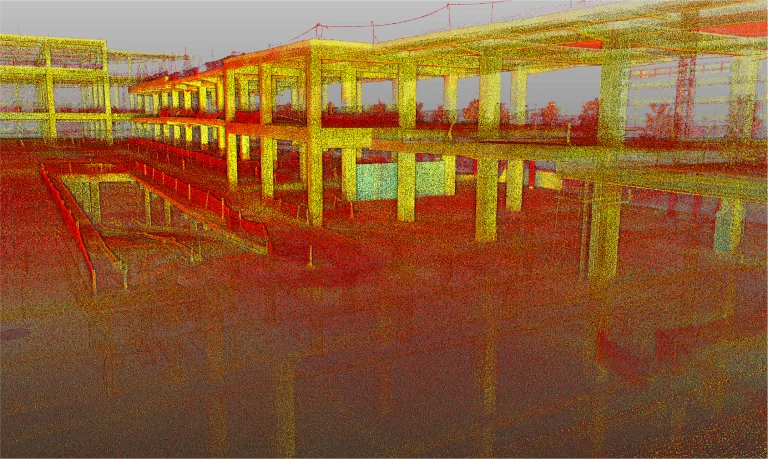
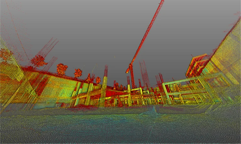
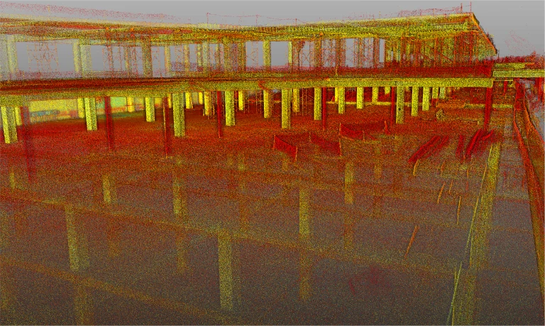
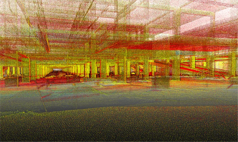
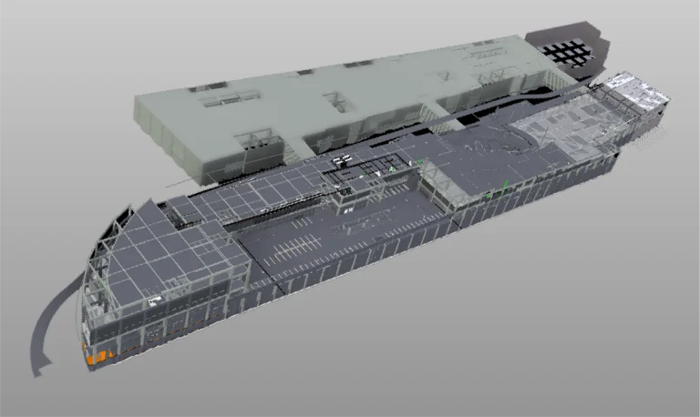
Terrestrial laser scanning generated a high-precision point cloud that documented the existing site conditions. This information served as a foundation for detailed technical analyses and the creation of digital models, ensuring accuracy in the pre-construction and supervision stages.
BIM (Building
Information
Modeling)
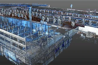
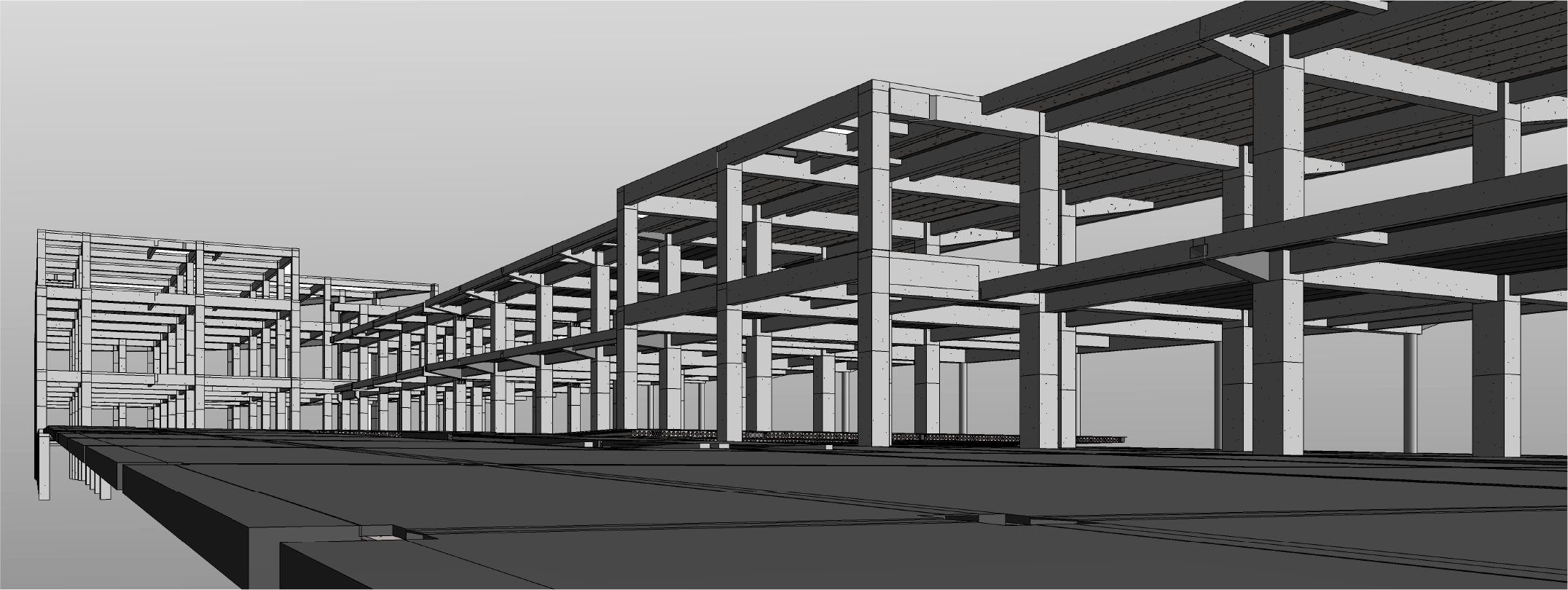
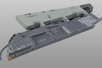
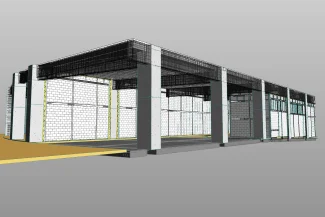
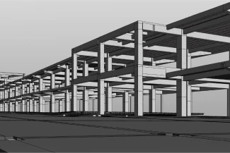
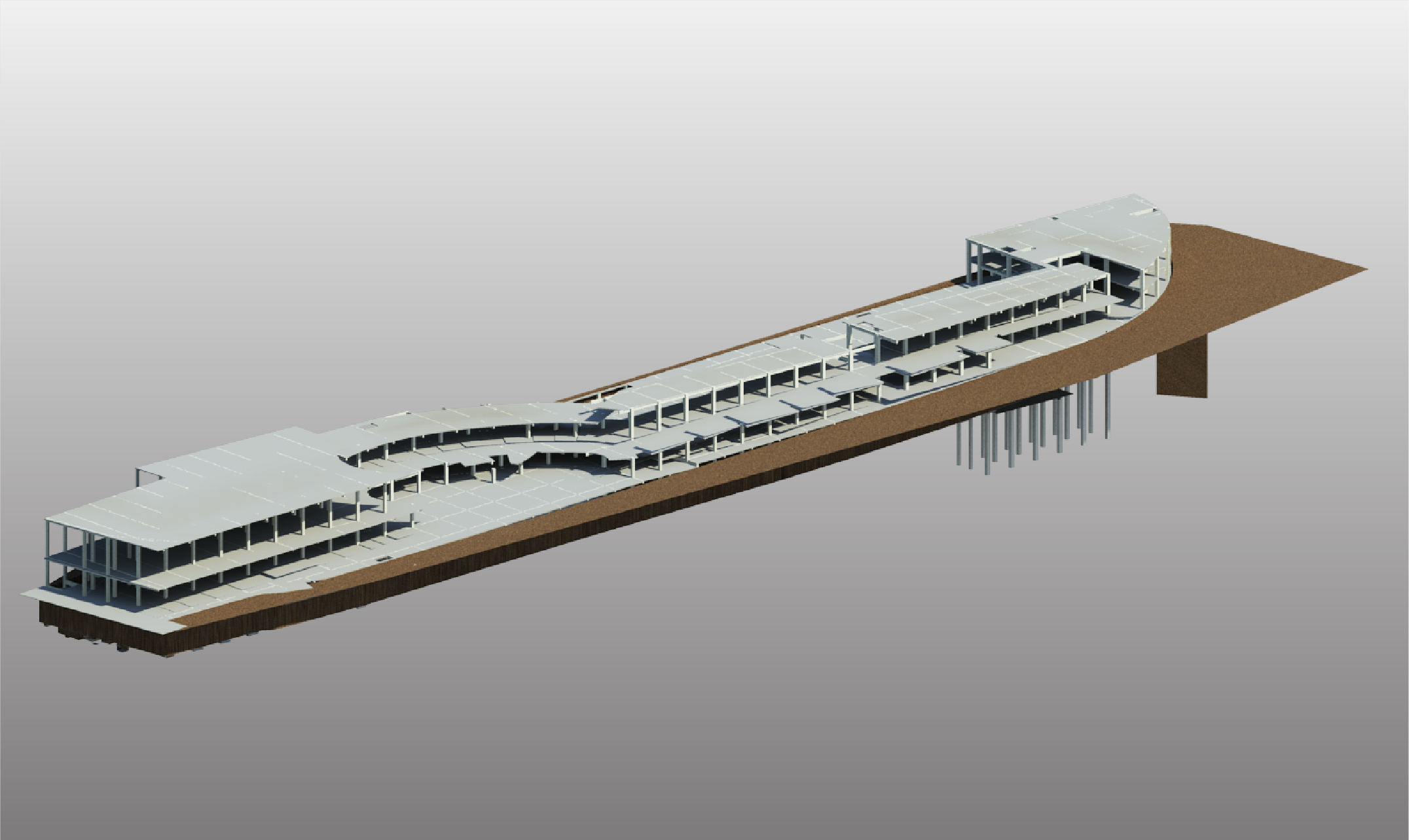
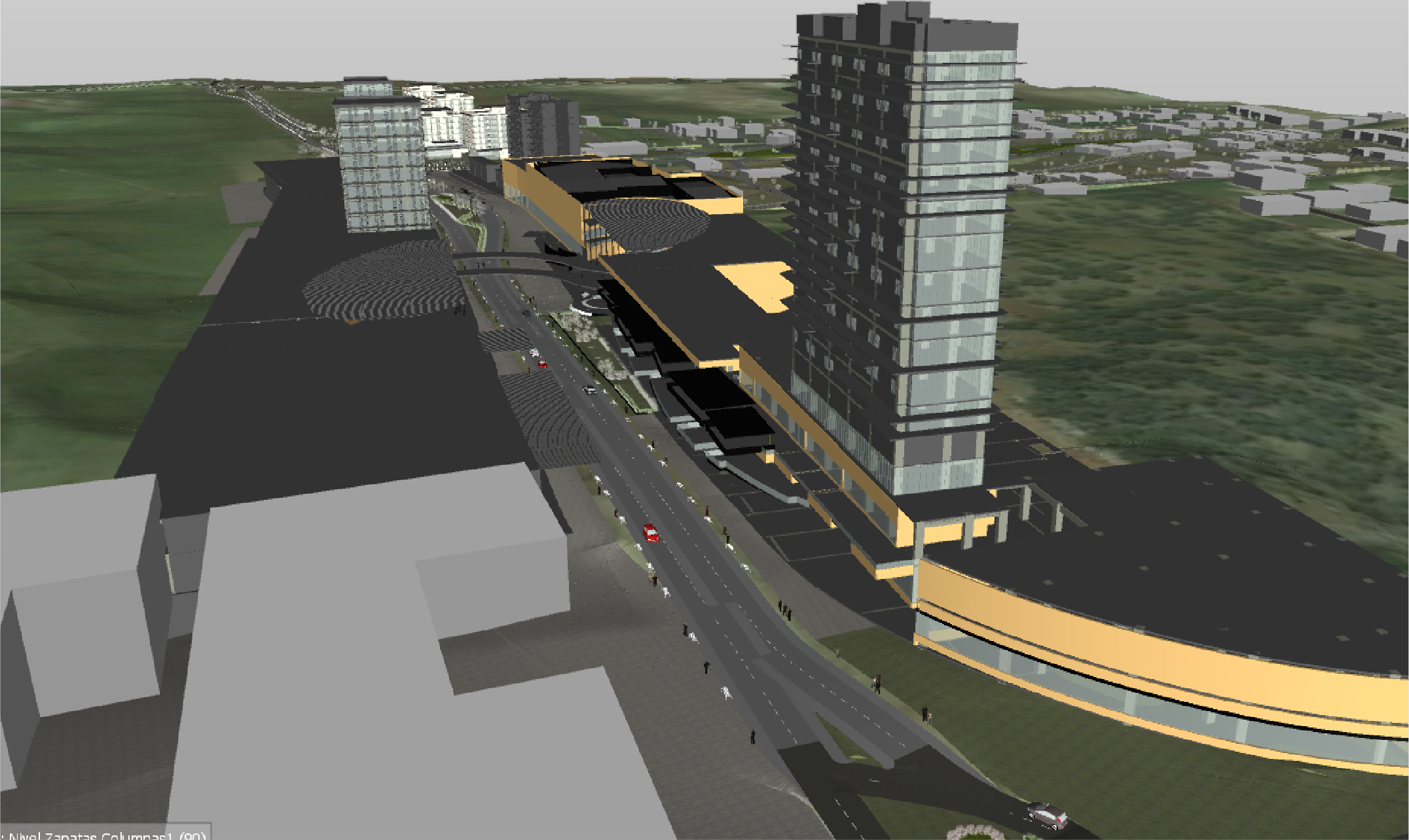
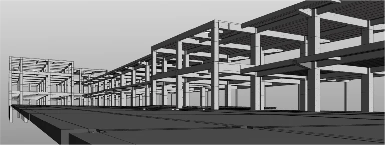
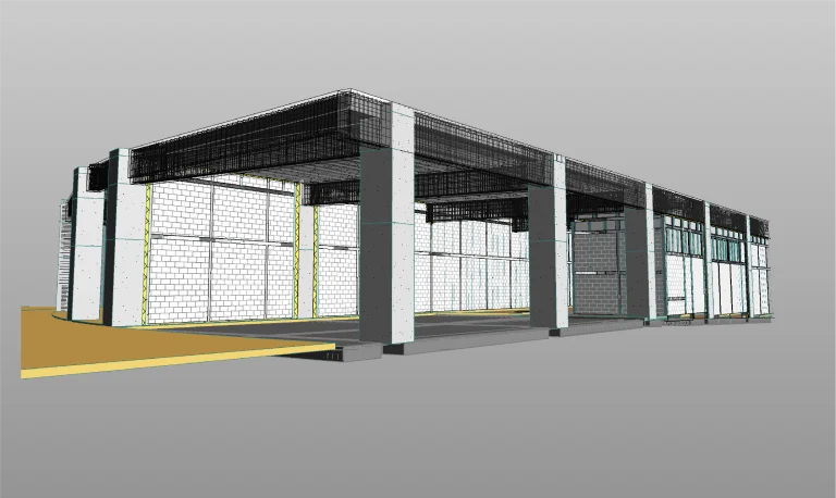
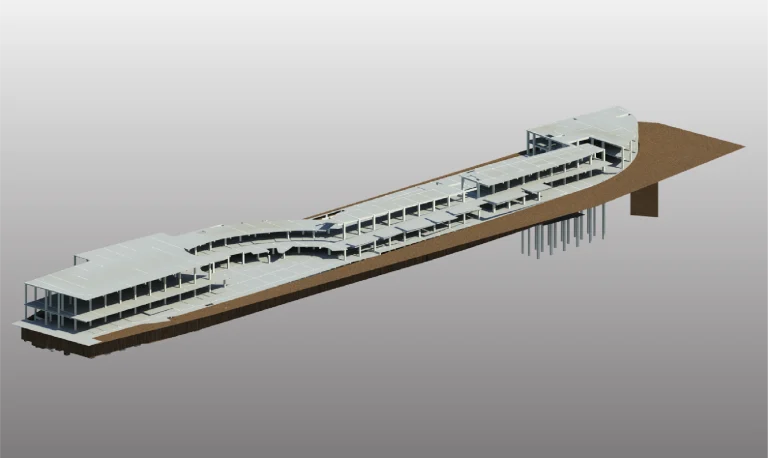
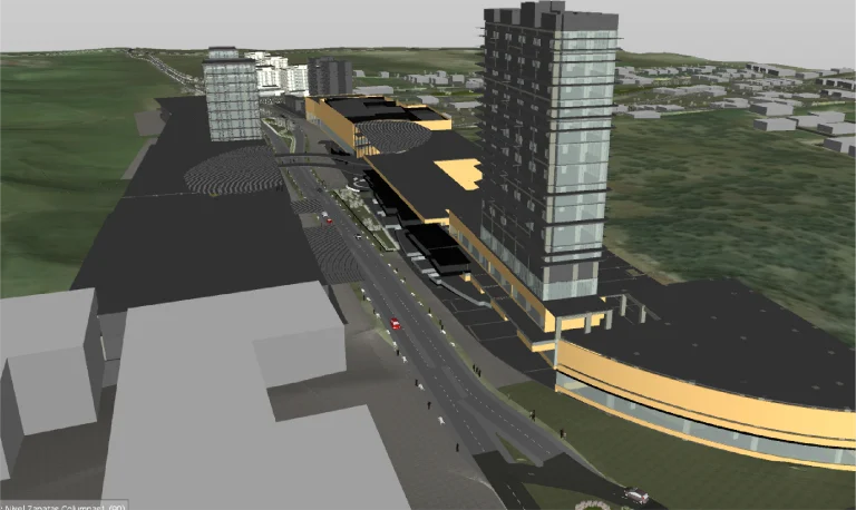
Using the data obtained from laser scanning, BIM models were developed to integrate all relevant project information. These models facilitated efficient planning, interdisciplinary coordination, and real-time monitoring during construction supervision activities.
Reality capture was conducted using terrestrial laser scanning and the development of BIM models as part of the support for pre-construction activities and construction supervision in Phase I. These tools provided accurate and detailed information to optimize project planning, design, and execution.
REALITY CAPTURE
Terrestrial Laser Scanning
Terrestrial laser scanning generated a high-precision point cloud that documented the existing site conditions. This information served as a foundation for detailed technical analyses and the creation of digital models, ensuring accuracy in the pre-construction and supervision stages.
DIGITAL MODELS
BIM
(Building Information Modeling)
Using the data obtained from laser scanning, BIM models were developed to integrate all relevant project information. These models facilitated efficient planning, interdisciplinary coordination, and real-time monitoring during construction supervision activities.